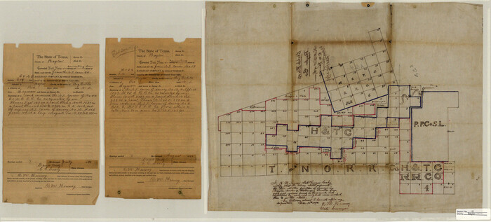
Baylor County Sketch File 10
1890

Baylor County Sketch File 12D
1900

Baylor County Sketch File 23
1927
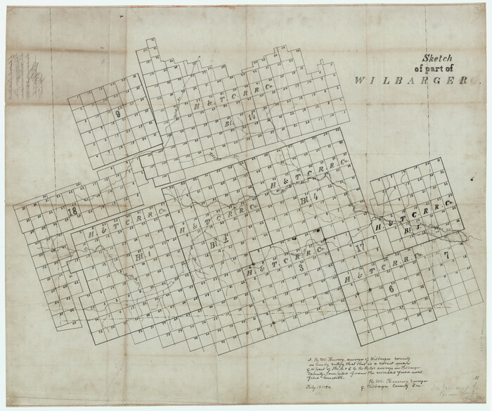
Wilbarger County Sketch File 10
1894

Baylor County Sketch File 10A

Baylor County Sketch File 21

Baylor County Sketch File AA
1879
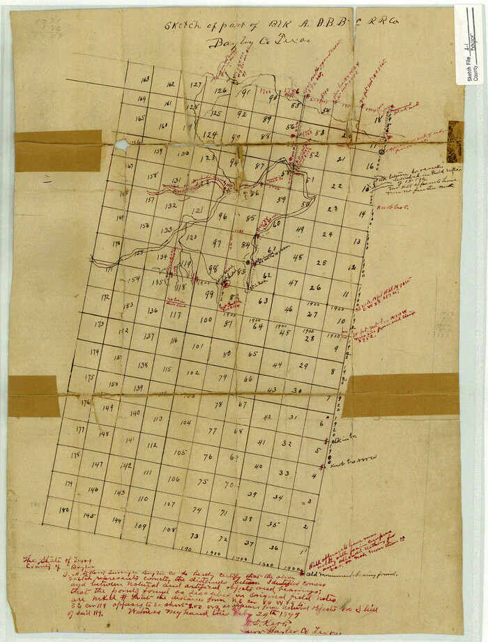
Baylor County Sketch File A1
1899

Baylor County Sketch File A6
1899
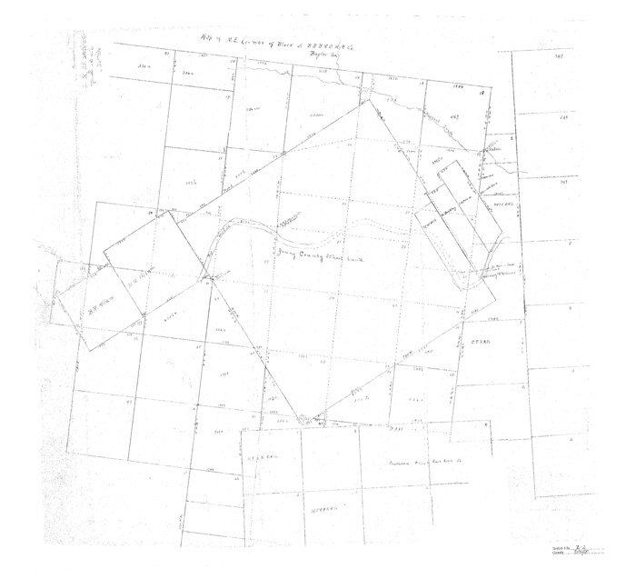
Baylor County Sketch File Z2

Knox County Sketch File 23
1931
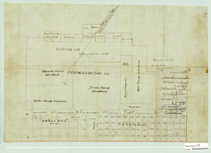
Throckmorton County Sketch File 12
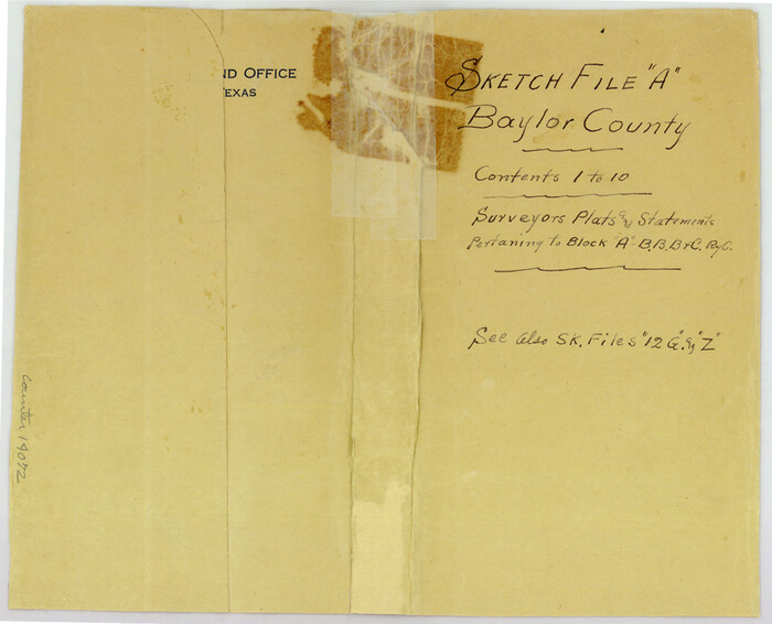
Baylor County Sketch File A
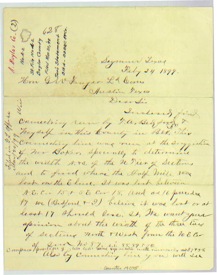
Baylor County Sketch File A2
1899
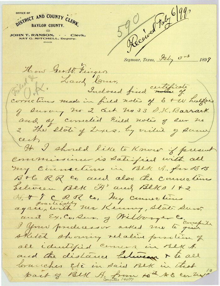
Baylor County Sketch File A3
1899

Baylor County Sketch File A4
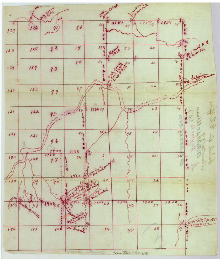
Baylor County Sketch File A5

Baylor County Sketch File A7
1899
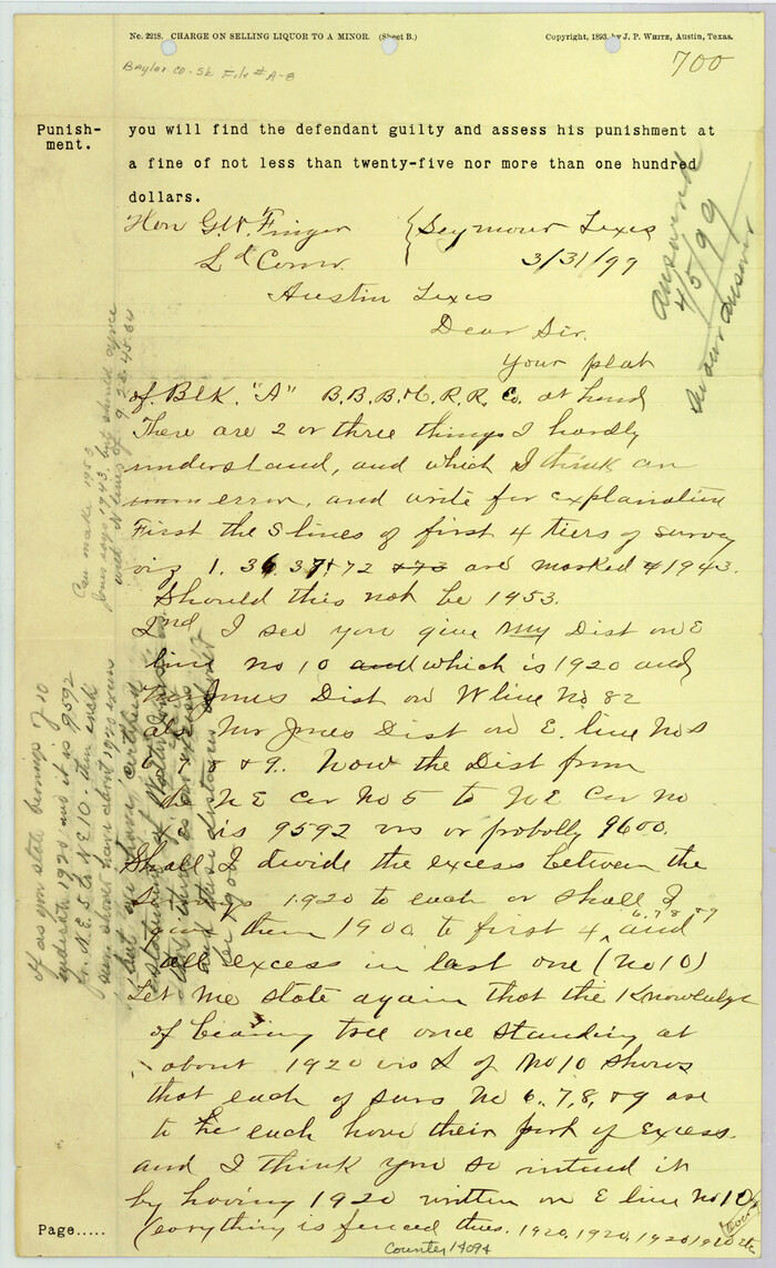
Baylor County Sketch File A8
1899

Baylor County Sketch File A9
1926
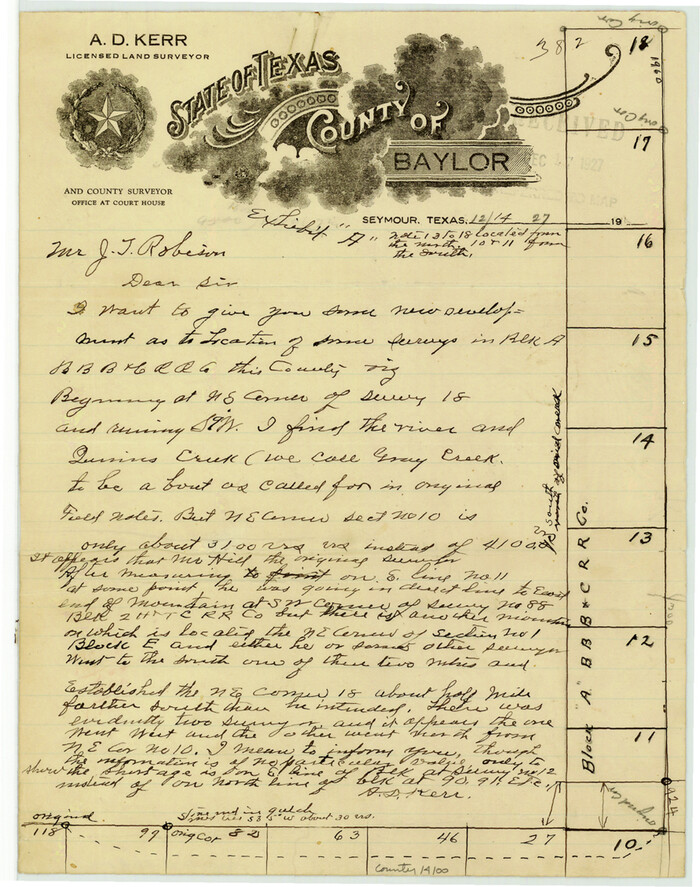
Baylor County Sketch File A10
1927
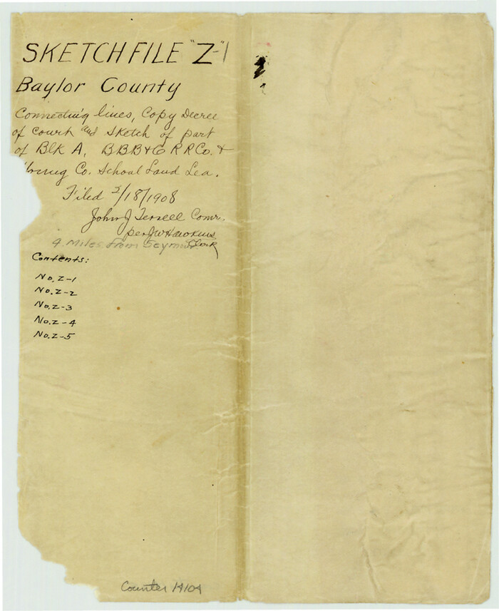
Baylor County Sketch File Z1
1901
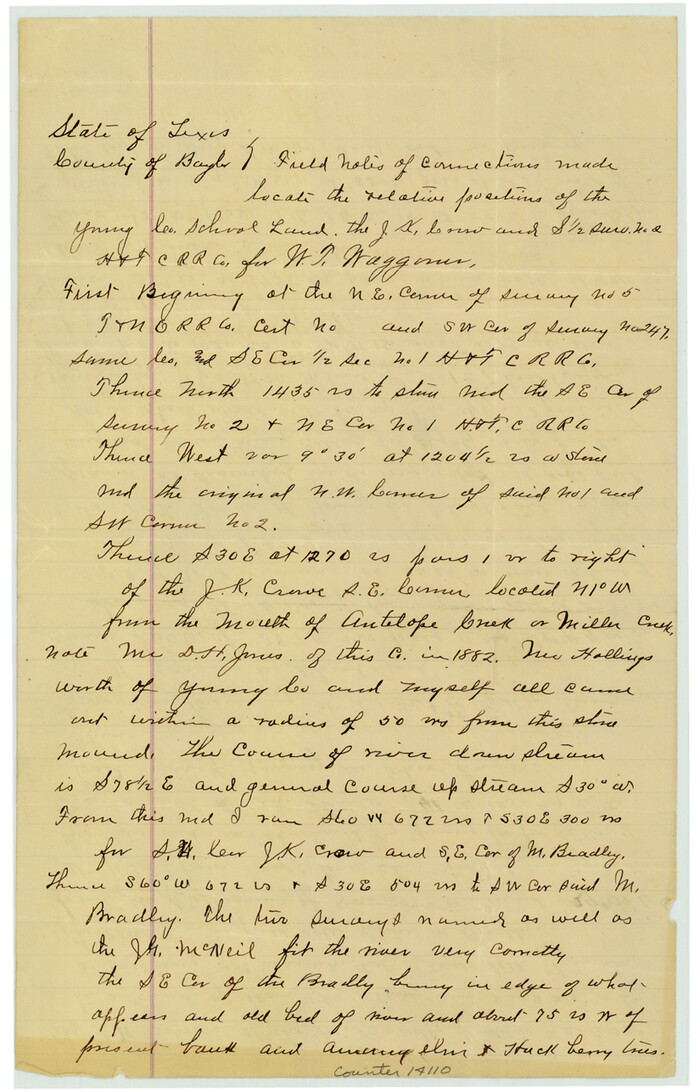
Baylor County Sketch File Z3
1908
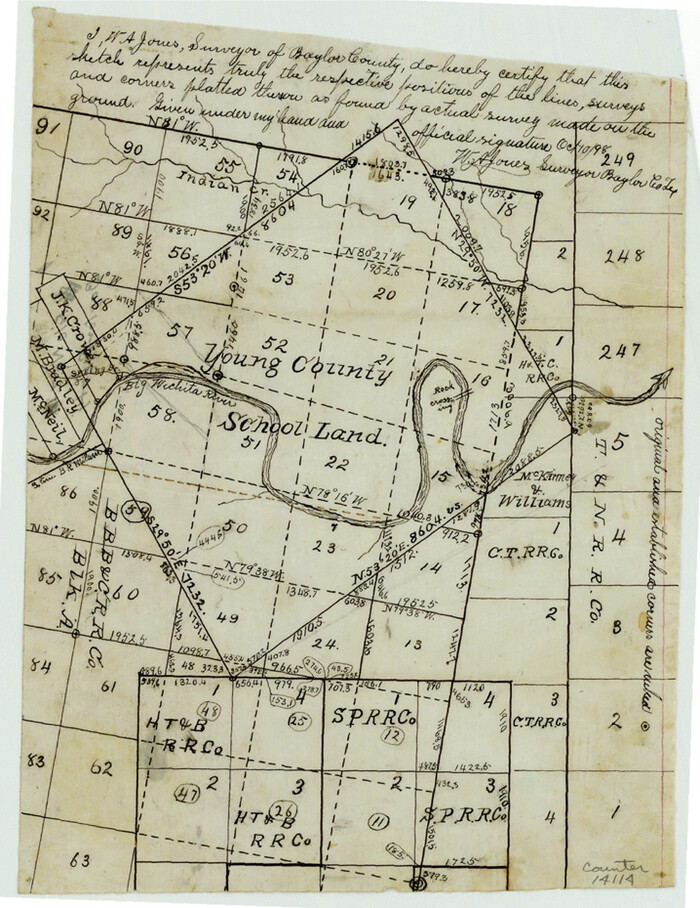
Baylor County Sketch File Z4
1898

Baylor County Sketch File Z5
1902

Baylor County Sketch File 1
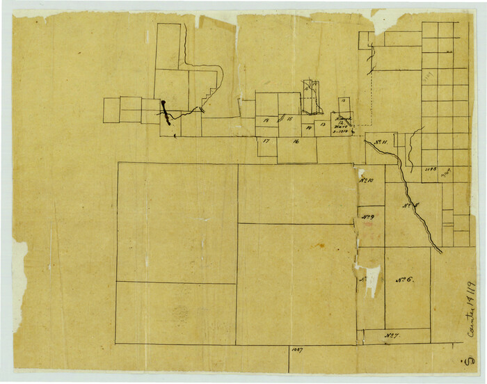
Baylor County Sketch File 2
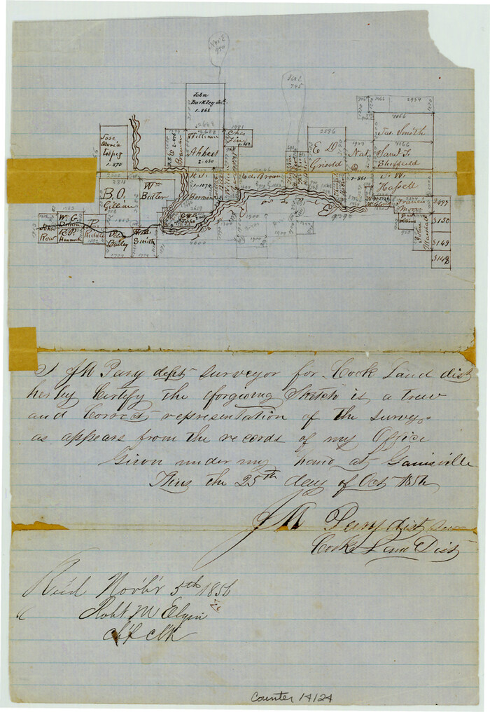
Baylor County Sketch File 3
1856
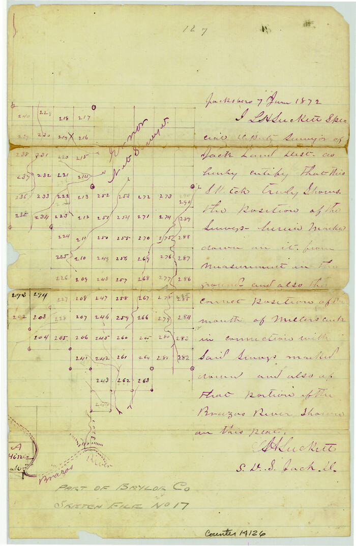
Baylor County Sketch File 4
1872
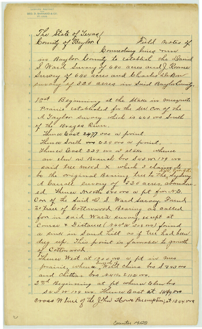
Baylor County Sketch File 6
1887

Baylor County Sketch File 10
1890
-
Size
19.3 x 42.7 inches
-
Map/Doc
10321
-
Creation Date
1890

Baylor County Sketch File 12D
1900
-
Size
20.0 x 42.5 inches
-
Map/Doc
10323
-
Creation Date
1900

Baylor County Sketch File 23
1927
-
Size
25.2 x 48.9 inches
-
Map/Doc
10324
-
Creation Date
1927

Wilbarger County Sketch File 10
1894
-
Size
33.9 x 38.7 inches
-
Map/Doc
10434
-
Creation Date
1894

Baylor County Sketch File 10A
-
Size
19.6 x 29.0 inches
-
Map/Doc
10905

Baylor County Sketch File 21
-
Size
17.5 x 30.7 inches
-
Map/Doc
10908

Baylor County Sketch File AA
1879
-
Size
15.9 x 27.9 inches
-
Map/Doc
10910
-
Creation Date
1879

Baylor County Sketch File A1
1899
-
Size
22.8 x 17.3 inches
-
Map/Doc
10911
-
Creation Date
1899

Baylor County Sketch File A6
1899
-
Size
22.5 x 31.7 inches
-
Map/Doc
10912
-
Creation Date
1899

Baylor County Sketch File Z2
-
Size
28.5 x 31.3 inches
-
Map/Doc
10913

Knox County Sketch File 23
1931
-
Size
21.4 x 15.3 inches
-
Map/Doc
11963
-
Creation Date
1931

Throckmorton County Sketch File 12
-
Size
16.2 x 22.3 inches
-
Map/Doc
12435

Baylor County Sketch File A
-
Size
7.5 x 9.2 inches
-
Map/Doc
14072

Baylor County Sketch File A2
1899
-
Size
10.4 x 8.2 inches
-
Map/Doc
14075
-
Creation Date
1899

Baylor County Sketch File A3
1899
-
Size
11.4 x 8.7 inches
-
Map/Doc
14077
-
Creation Date
1899

Baylor County Sketch File A4
-
Size
14.0 x 8.7 inches
-
Map/Doc
14084

Baylor County Sketch File A5
-
Size
10.4 x 8.8 inches
-
Map/Doc
14088

Baylor County Sketch File A7
1899
-
Size
9.1 x 14.6 inches
-
Map/Doc
14091
-
Creation Date
1899

Baylor County Sketch File A8
1899
-
Size
14.1 x 8.7 inches
-
Map/Doc
14094
-
Creation Date
1899

Baylor County Sketch File A9
1926
-
Size
11.4 x 8.9 inches
-
Map/Doc
14096
-
Creation Date
1926

Baylor County Sketch File A10
1927
-
Size
11.3 x 8.9 inches
-
Map/Doc
14100
-
Creation Date
1927

Baylor County Sketch File Z1
1901
-
Size
8.8 x 7.2 inches
-
Map/Doc
14104
-
Creation Date
1901

Baylor County Sketch File Z3
1908
-
Size
12.9 x 8.3 inches
-
Map/Doc
14110
-
Creation Date
1908

Baylor County Sketch File Z4
1898
-
Size
9.3 x 7.2 inches
-
Map/Doc
14114
-
Creation Date
1898

Baylor County Sketch File Z5
1902
-
Size
11.5 x 8.9 inches
-
Map/Doc
14115
-
Creation Date
1902

Baylor County Sketch File 1
-
Size
17.5 x 11.4 inches
-
Map/Doc
14117

Baylor County Sketch File 2
-
Size
7.8 x 9.9 inches
-
Map/Doc
14119

Baylor County Sketch File 3
1856
-
Size
12.4 x 8.5 inches
-
Map/Doc
14124
-
Creation Date
1856

Baylor County Sketch File 4
1872
-
Size
12.8 x 8.3 inches
-
Map/Doc
14126
-
Creation Date
1872

Baylor County Sketch File 6
1887
-
Size
14.3 x 8.8 inches
-
Map/Doc
14128
-
Creation Date
1887