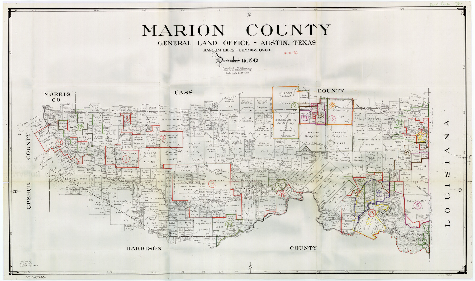
Marion County Working Sketch Graphic Index, Sheet 1 (Sketches 1 to 26)
-
Map/Doc
76629
-
Collection
General Map Collection
-
Object Dates
12/16/1943 (Creation Date)
-
People and Organizations
Victor E. Sterzing (Compiler)
Eltea Armstrong (Draftsman)
-
Counties
Marion
-
Subjects
County Surveying Working Sketch
-
Height x Width
26.8 x 45.1 inches
68.1 x 114.6 cm
-
Scale
1" = 2000 varas
Part of: General Map Collection
Armstrong County Sketch File B

Print $26.00
- Digital $50.00
Armstrong County Sketch File B
1903
Size 14.2 x 8.5 inches
Map/Doc 13669
Sutton County Sketch File JAC (1)

Print $6.00
- Digital $50.00
Sutton County Sketch File JAC (1)
1937
Size 14.3 x 8.8 inches
Map/Doc 37502
Presidio County Working Sketch 61

Print $20.00
- Digital $50.00
Presidio County Working Sketch 61
1957
Size 40.0 x 35.0 inches
Map/Doc 71738
Val Verde County Working Sketch 42

Print $20.00
- Digital $50.00
Val Verde County Working Sketch 42
1944
Size 24.4 x 33.9 inches
Map/Doc 72177
Guadalupe County Sketch File 7

Print $20.00
- Digital $50.00
Guadalupe County Sketch File 7
Size 15.6 x 19.5 inches
Map/Doc 11590
Yoakum County Rolled Sketch 7

Print $20.00
- Digital $50.00
Yoakum County Rolled Sketch 7
2012
Size 25.9 x 18.7 inches
Map/Doc 93291

Roberts County Sketch File 7

Print $16.00
- Digital $50.00
Roberts County Sketch File 7
1992
Size 14.3 x 8.8 inches
Map/Doc 35316
Brazoria County Rolled Sketch 33

Print $133.00
- Digital $50.00
Brazoria County Rolled Sketch 33
Size 10.3 x 15.4 inches
Map/Doc 42960
Liberty County Rolled Sketch 15

Print $20.00
- Digital $50.00
Liberty County Rolled Sketch 15
2015
Size 36.1 x 24.3 inches
Map/Doc 94025
Port Facilities at Texas City, Tex.

Print $20.00
- Digital $50.00
Port Facilities at Texas City, Tex.
Size 13.9 x 15.9 inches
Map/Doc 97161
Texas Panhandle North Boundary Line

Print $40.00
- Digital $50.00
Texas Panhandle North Boundary Line
1898
Size 13.4 x 125.2 inches
Map/Doc 1738
You may also like
Cameron County Rolled Sketch 15

Print $40.00
- Digital $50.00
Cameron County Rolled Sketch 15
1958
Size 53.0 x 32.0 inches
Map/Doc 8568
Flight Mission No. DIX-6P, Frame 181, Aransas County

Print $20.00
- Digital $50.00
Flight Mission No. DIX-6P, Frame 181, Aransas County
1956
Size 18.9 x 22.6 inches
Map/Doc 83843
Wichita Falls, Wichita County, Texas

Print $20.00
- Digital $50.00
Wichita Falls, Wichita County, Texas
Size 32.0 x 22.6 inches
Map/Doc 96791
Brewster County Working Sketch 112

Print $20.00
- Digital $50.00
Brewster County Working Sketch 112
1982
Size 28.1 x 26.8 inches
Map/Doc 67712

Harris County Historic Topographic A

Print $20.00
- Digital $50.00
Harris County Historic Topographic A
1916
Size 26.1 x 19.0 inches
Map/Doc 65849
Military Map of the Rio Grande Frontier Prepared from Original Surveys, County Maps, Reports of Officers, etc

Print $20.00
Military Map of the Rio Grande Frontier Prepared from Original Surveys, County Maps, Reports of Officers, etc
1883
Size 17.4 x 27.3 inches
Map/Doc 76242
Tech Memorial Park Street Grading Plan

Print $20.00
- Digital $50.00
Tech Memorial Park Street Grading Plan
1948
Size 17.8 x 15.7 inches
Map/Doc 92272
Meadowbrook Villa a Subdivision in Section 77, Blk A

Print $20.00
- Digital $50.00
Meadowbrook Villa a Subdivision in Section 77, Blk A
Size 14.4 x 13.1 inches
Map/Doc 92768
[Surveys in Austin's Colony along the Colorado River]
![171, [Surveys in Austin's Colony along the Colorado River], General Map Collection](https://historictexasmaps.com/wmedia_w700/maps/171.tif.jpg)
Print $20.00
- Digital $50.00
[Surveys in Austin's Colony along the Colorado River]
1830
Size 30.5 x 12.7 inches
Map/Doc 171
South Part of Webb County

Print $40.00
- Digital $50.00
South Part of Webb County
1984
Size 43.5 x 63.9 inches
Map/Doc 73320
Pecos County Working Sketch 137

Print $20.00
- Digital $50.00
Pecos County Working Sketch 137
1981
Size 32.3 x 28.4 inches
Map/Doc 71611