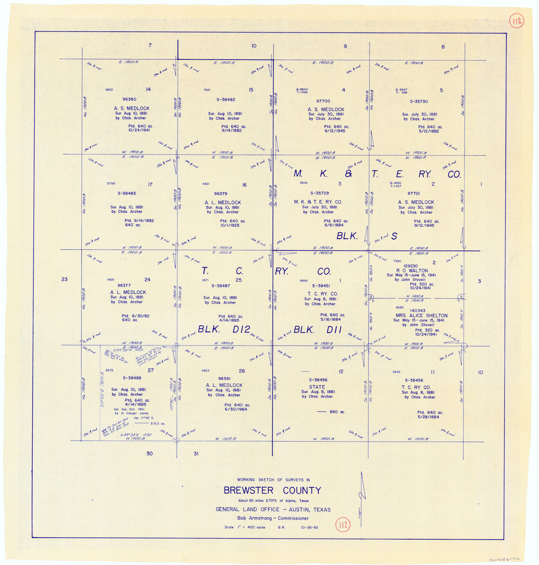
Brewster County Working Sketch 112
-
Map/Doc
67712
-
Collection
General Map Collection
-
Object Dates
10/26/1982 (Creation Date)
-
People and Organizations
Beverly Robison (Draftsman)
-
Counties
Brewster
-
Subjects
Surveying Working Sketch
-
Height x Width
28.1 x 26.8 inches
71.4 x 68.1 cm
-
Scale
1" = 400 varas
Part of: General Map Collection
Nueces County Rolled Sketch 78

Print $53.00
Nueces County Rolled Sketch 78
1982
Size 18.2 x 24.9 inches
Map/Doc 6945
Ellis County Sketch File 19

Print $6.00
- Digital $50.00
Ellis County Sketch File 19
1863
Size 12.4 x 7.8 inches
Map/Doc 21866
Rusk County Working Sketch 19

Print $20.00
- Digital $50.00
Rusk County Working Sketch 19
1955
Size 19.0 x 18.2 inches
Map/Doc 63654
[Galveston, Harrisburg & San Antonio from El Paso-Presidio county boundary to Presidio-Pecos county boundary]
![64717, [Galveston, Harrisburg & San Antonio from El Paso-Presidio county boundary to Presidio-Pecos county boundary], General Map Collection](https://historictexasmaps.com/wmedia_w700/maps/64717.tif.jpg)
Print $40.00
- Digital $50.00
[Galveston, Harrisburg & San Antonio from El Paso-Presidio county boundary to Presidio-Pecos county boundary]
Size 149.3 x 44.4 inches
Map/Doc 64717
Coke County Working Sketch 24

Print $20.00
- Digital $50.00
Coke County Working Sketch 24
1956
Size 28.7 x 31.1 inches
Map/Doc 68061
Flight Mission No. DAG-26K, Frame 62, Matagorda County

Print $20.00
- Digital $50.00
Flight Mission No. DAG-26K, Frame 62, Matagorda County
1953
Size 18.7 x 22.5 inches
Map/Doc 86582
Flight Mission No. CGI-8AA, Frame 146, Cameron County

Print $20.00
- Digital $50.00
Flight Mission No. CGI-8AA, Frame 146, Cameron County
1962
Size 18.6 x 18.3 inches
Map/Doc 84533
Dawson County Sketch File 30

Print $40.00
- Digital $50.00
Dawson County Sketch File 30
1913
Size 13.6 x 9.1 inches
Map/Doc 20594
Polk County Rolled Sketch 33

Print $20.00
- Digital $50.00
Polk County Rolled Sketch 33
Size 26.5 x 38.5 inches
Map/Doc 7319
Crockett County Working Sketch 51

Print $20.00
- Digital $50.00
Crockett County Working Sketch 51
1940
Size 31.1 x 40.1 inches
Map/Doc 68384
Dimmit County Sketch File 19 1/2

Print $40.00
- Digital $50.00
Dimmit County Sketch File 19 1/2
Size 16.6 x 13.9 inches
Map/Doc 21092
Bell County Sketch File 5

Print $4.00
- Digital $50.00
Bell County Sketch File 5
1849
Size 12.9 x 8.5 inches
Map/Doc 14371
You may also like
Hill County Sketch File 22

Print $8.00
- Digital $50.00
Hill County Sketch File 22
1860
Size 7.7 x 8.2 inches
Map/Doc 26505
Flight Mission No. BRE-1P, Frame 119, Nueces County

Print $20.00
- Digital $50.00
Flight Mission No. BRE-1P, Frame 119, Nueces County
1956
Size 18.7 x 22.7 inches
Map/Doc 86685

Potter County Rolled Sketch 13

Print $20.00
- Digital $50.00
Potter County Rolled Sketch 13
2004
Size 18.7 x 23.2 inches
Map/Doc 82477
Bailey County Working Sketch 2

Print $20.00
- Digital $50.00
Bailey County Working Sketch 2
1920
Size 17.8 x 16.2 inches
Map/Doc 67589
Atascosa County Working Sketch 38

Print $40.00
- Digital $50.00
Atascosa County Working Sketch 38
2011
Size 31.1 x 60.6 inches
Map/Doc 90031
Mexicque, ou Nouvelle Espagne, Nouvelle Gallice, Iucatan & c. et autres Provinces jusques a L'Isthme de Panama; ou font les Audiences de Mexico, de Guadalaiara, et de Guatimala

Print $20.00
- Digital $50.00
Mexicque, ou Nouvelle Espagne, Nouvelle Gallice, Iucatan & c. et autres Provinces jusques a L'Isthme de Panama; ou font les Audiences de Mexico, de Guadalaiara, et de Guatimala
Size 15.7 x 22.3 inches
Map/Doc 95831
Presidio County Working Sketch 42

Print $40.00
- Digital $50.00
Presidio County Working Sketch 42
1948
Size 90.9 x 38.2 inches
Map/Doc 71719
Crosby County Working Sketch 18

Print $20.00
- Digital $50.00
Crosby County Working Sketch 18
1982
Size 22.7 x 31.0 inches
Map/Doc 68452
Roberts County Working Sketch 34

Print $20.00
- Digital $50.00
Roberts County Working Sketch 34
1978
Size 26.6 x 22.5 inches
Map/Doc 63560
Nueces County Rolled Sketch 103

Print $105.00
Nueces County Rolled Sketch 103
1985
Size 36.5 x 24.1 inches
Map/Doc 7078
Flight Mission No. CGI-2N, Frame 183, Cameron County

Print $20.00
- Digital $50.00
Flight Mission No. CGI-2N, Frame 183, Cameron County
1954
Size 18.7 x 22.2 inches
Map/Doc 84543