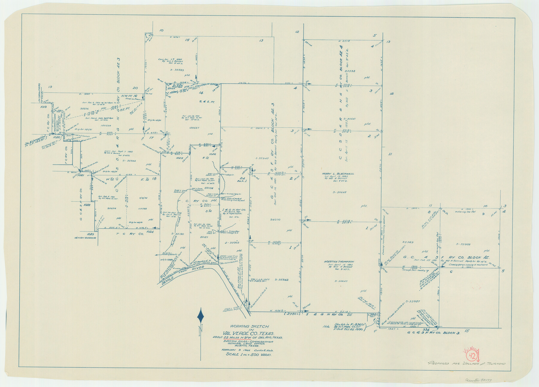
Val Verde County Working Sketch 42
-
Map/Doc
72177
-
Collection
General Map Collection
-
Object Dates
2/9/1944 (Creation Date)
-
People and Organizations
Curtis R. Hale (Draftsman)
-
Counties
Val Verde
-
Subjects
Surveying Working Sketch
-
Height x Width
24.4 x 33.9 inches
62.0 x 86.1 cm
-
Scale
1" = 500 varas
Part of: General Map Collection
Dallam County Sketch File 1

Print $22.00
- Digital $50.00
Dallam County Sketch File 1
1885
Size 29.5 x 27.1 inches
Map/Doc 11277
Motley County Sketch File 4 (S)

Print $4.00
- Digital $50.00
Motley County Sketch File 4 (S)
Size 12.9 x 8.4 inches
Map/Doc 32143
Coryell County Boundary File 3a

Print $50.00
- Digital $50.00
Coryell County Boundary File 3a
Size 13.2 x 8.1 inches
Map/Doc 51914
Anderson County Sketch File 16b

Print $2.00
- Digital $50.00
Anderson County Sketch File 16b
1859
Size 7.2 x 2.9 inches
Map/Doc 12788
Pecos County Working Sketch 132

Print $40.00
- Digital $50.00
Pecos County Working Sketch 132
1979
Size 34.6 x 49.3 inches
Map/Doc 71606
Orange County Sketch File 16a

Print $11.00
- Digital $50.00
Orange County Sketch File 16a
1891
Size 11.9 x 12.9 inches
Map/Doc 33332

Dallas County Working Sketch 15

Print $20.00
- Digital $50.00
Dallas County Working Sketch 15
1980
Size 14.3 x 11.4 inches
Map/Doc 68581
Harris County Rolled Sketch 88

Print $20.00
- Digital $50.00
Harris County Rolled Sketch 88
1933
Size 34.6 x 23.1 inches
Map/Doc 6464

A Traveler's Map of Spain and Portugal

A Traveler's Map of Spain and Portugal
Size 36.1 x 22.9 inches
Map/Doc 95937
Flight Mission No. CGI-3N, Frame 94, Cameron County

Print $20.00
- Digital $50.00
Flight Mission No. CGI-3N, Frame 94, Cameron County
1954
Size 18.6 x 22.1 inches
Map/Doc 84574
You may also like
Flight Mission No. CRC-1R, Frame 96, Chambers County

Print $20.00
- Digital $50.00
Flight Mission No. CRC-1R, Frame 96, Chambers County
1956
Size 18.6 x 22.3 inches
Map/Doc 84711
Jefferson County Working Sketch 30a

Print $20.00
- Digital $50.00
Jefferson County Working Sketch 30a
1977
Size 17.8 x 21.2 inches
Map/Doc 66573
Calhoun County Rolled Sketch 30

Print $20.00
- Digital $50.00
Calhoun County Rolled Sketch 30
1974
Size 18.6 x 27.6 inches
Map/Doc 5495
Jefferson County Rolled Sketch 28

Print $20.00
- Digital $50.00
Jefferson County Rolled Sketch 28
1948
Size 22.4 x 32.9 inches
Map/Doc 6391
The Republic County of Fannin. November 28. 1839

Print $20.00
The Republic County of Fannin. November 28. 1839
2020
Size 12.9 x 21.7 inches
Map/Doc 96129
Flight Mission No. DIX-5P, Frame 103, Aransas County

Print $20.00
- Digital $50.00
Flight Mission No. DIX-5P, Frame 103, Aransas County
1956
Size 17.5 x 18.2 inches
Map/Doc 83781
Red River County Working Sketch 46

Print $20.00
- Digital $50.00
Red River County Working Sketch 46
Size 34.3 x 38.9 inches
Map/Doc 72029
Goliad County Working Sketch 9

Print $20.00
- Digital $50.00
Goliad County Working Sketch 9
1938
Size 19.3 x 27.6 inches
Map/Doc 63199
El Paso County Rolled Sketch 18

Print $20.00
- Digital $50.00
El Paso County Rolled Sketch 18
Size 30.0 x 33.4 inches
Map/Doc 5822
Archer County Rolled Sketch B2

Print $20.00
- Digital $50.00
Archer County Rolled Sketch B2
1891
Size 36.7 x 30.7 inches
Map/Doc 5105
Ward County Rolled Sketch 21

Print $20.00
- Digital $50.00
Ward County Rolled Sketch 21
1951
Size 21.1 x 43.3 inches
Map/Doc 8163
Hockley County Sketch File 12

Print $20.00
- Digital $50.00
Hockley County Sketch File 12
1902
Size 17.5 x 17.0 inches
Map/Doc 11772