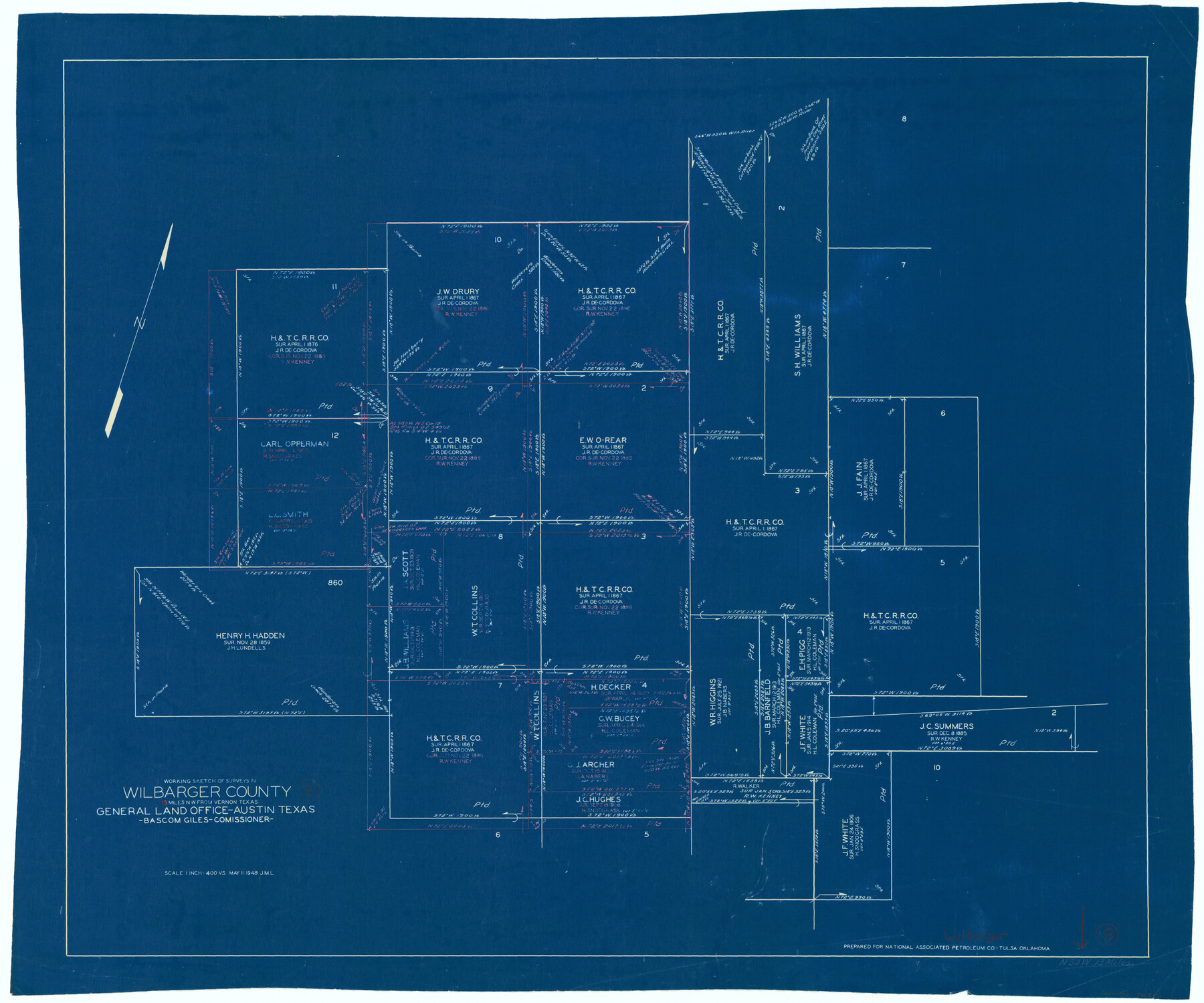
Wilbarger County Working Sketch 8
-
Map/Doc
72546
-
Collection
General Map Collection
-
Object Dates
5/11/1948 (Creation Date)
-
Counties
Wilbarger
-
Subjects
Surveying Working Sketch
-
Height x Width
31.8 x 38.2 inches
80.8 x 97.0 cm
-
Scale
1" = 400 varas
Part of: General Map Collection
Leon County Sketch File 35-1

Print $28.00
- Digital $50.00
Leon County Sketch File 35-1
1966
Size 14.1 x 8.6 inches
Map/Doc 29836
Hopkins County Sketch File 1

Print $4.00
- Digital $50.00
Hopkins County Sketch File 1
1854
Size 5.2 x 10.2 inches
Map/Doc 26676
Sutton County Sketch File 55

Print $24.00
- Digital $50.00
Sutton County Sketch File 55
1952
Size 11.3 x 8.8 inches
Map/Doc 37536
Angelina County Boundary File 2

Print $20.00
- Digital $50.00
Angelina County Boundary File 2
Size 10.2 x 28.2 inches
Map/Doc 49773
[Sketch for Mineral Application 26501 - Sabine River, T. A. Oldhausen]
![2835, [Sketch for Mineral Application 26501 - Sabine River, T. A. Oldhausen], General Map Collection](https://historictexasmaps.com/wmedia_w700/maps/2835.tif.jpg)
Print $20.00
- Digital $50.00
[Sketch for Mineral Application 26501 - Sabine River, T. A. Oldhausen]
1931
Size 24.6 x 36.6 inches
Map/Doc 2835
Schleicher County Sketch File 7

Print $10.00
- Digital $50.00
Schleicher County Sketch File 7
1881
Size 13.0 x 8.2 inches
Map/Doc 36474
Atascosa County Rolled Sketch 9

Print $20.00
- Digital $50.00
Atascosa County Rolled Sketch 9
1905
Size 34.5 x 26.9 inches
Map/Doc 5093
Hill County Working Sketch Graphic Index

Print $20.00
- Digital $50.00
Hill County Working Sketch Graphic Index
1983
Size 39.8 x 46.9 inches
Map/Doc 76578
Nueces County Rolled Sketch 131

Print $20.00
- Digital $50.00
Nueces County Rolled Sketch 131
2000
Size 24.2 x 36.6 inches
Map/Doc 7166
Orange County Sketch File 16

Print $20.00
- Digital $50.00
Orange County Sketch File 16
Size 18.1 x 32.8 inches
Map/Doc 12119
Glasscock County Sketch File 4

Print $6.00
- Digital $50.00
Glasscock County Sketch File 4
Size 13.3 x 8.8 inches
Map/Doc 24161
Liberty County Working Sketch 83

Print $40.00
- Digital $50.00
Liberty County Working Sketch 83
1981
Size 68.4 x 37.8 inches
Map/Doc 70543
You may also like
Armstrong County Working Sketch 8

Print $20.00
- Digital $50.00
Armstrong County Working Sketch 8
1902
Size 25.4 x 40.2 inches
Map/Doc 67239

Matagorda County NRC Article 33.136 Sketch 21

Print $42.00
Matagorda County NRC Article 33.136 Sketch 21
2025
Map/Doc 97429
Val Verde County Rolled Sketch 85

Print $20.00
- Digital $50.00
Val Verde County Rolled Sketch 85
2009
Size 25.4 x 38.0 inches
Map/Doc 89234
Dimmit County Rolled Sketch 22

Print $20.00
- Digital $50.00
Dimmit County Rolled Sketch 22
2012
Size 31.5 x 24.0 inches
Map/Doc 93629
Schleicher County Rolled Sketch 20

Print $20.00
- Digital $50.00
Schleicher County Rolled Sketch 20
1958
Size 35.5 x 20.0 inches
Map/Doc 9906
Waller County Sketch File 2a

Print $4.00
- Digital $50.00
Waller County Sketch File 2a
Size 8.0 x 8.4 inches
Map/Doc 39596
Oldham County

Print $40.00
- Digital $50.00
Oldham County
1925
Size 41.5 x 53.2 inches
Map/Doc 95604
Supreme Court of the United States, October Term, 1923, No. 15, Original - The State of Oklahoma, Complainant vs. The State of Texas, Defendant, The United States, Intervener; Report of the Boundary Commissioners

Print $20.00
- Digital $50.00
Supreme Court of the United States, October Term, 1923, No. 15, Original - The State of Oklahoma, Complainant vs. The State of Texas, Defendant, The United States, Intervener; Report of the Boundary Commissioners
1923
Size 35.1 x 41.1 inches
Map/Doc 82996
[Map of Encinal County]
![3517, [Map of Encinal County], General Map Collection](https://historictexasmaps.com/wmedia_w700/maps/3517-1.tif.jpg)
Print $20.00
- Digital $50.00
[Map of Encinal County]
1872
Size 27.9 x 21.9 inches
Map/Doc 3517
Section J Tech Memorial Park, Inc. Infants Garden

Print $2.00
- Digital $50.00
Section J Tech Memorial Park, Inc. Infants Garden
1949
Size 8.8 x 13.0 inches
Map/Doc 92352
[Leagues 571- 575, 578- 583, 603- 609, and Surrounding Surveys]
![91065, [Leagues 571- 575, 578- 583, 603- 609, and Surrounding Surveys], Twichell Survey Records](https://historictexasmaps.com/wmedia_w700/maps/91065-1.tif.jpg)
Print $20.00
- Digital $50.00
[Leagues 571- 575, 578- 583, 603- 609, and Surrounding Surveys]
Size 43.2 x 12.5 inches
Map/Doc 91065