[Leagues 571- 575, 578- 583, 603- 609, and Surrounding Surveys]
140-71
-
Map/Doc
91065
-
Collection
Twichell Survey Records
-
Counties
Lamb
-
Height x Width
43.2 x 12.5 inches
109.7 x 31.8 cm
Part of: Twichell Survey Records
[Sections 55-58, Blk. GG and surrounding surveys]
![90319, [Sections 55-58, Blk. GG and surrounding surveys], Twichell Survey Records](https://historictexasmaps.com/wmedia_w700/maps/90319-1.tif.jpg)
![90319, [Sections 55-58, Blk. GG and surrounding surveys], Twichell Survey Records](https://historictexasmaps.com/wmedia_w700/maps/90319-1.tif.jpg)
Print $20.00
- Digital $50.00
[Sections 55-58, Blk. GG and surrounding surveys]
Size 41.1 x 29.7 inches
Map/Doc 90319
W. S. Mabry Land Corners and Connections, Potter County
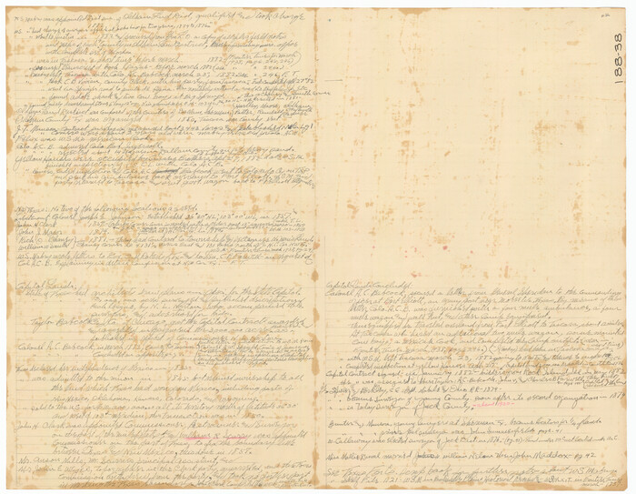

Print $20.00
- Digital $50.00
W. S. Mabry Land Corners and Connections, Potter County
Size 22.6 x 17.5 inches
Map/Doc 91806
Witt Addition, Subdivision out of Section 6, Block E, City of Lubbock


Print $20.00
- Digital $50.00
Witt Addition, Subdivision out of Section 6, Block E, City of Lubbock
1950
Size 9.1 x 30.9 inches
Map/Doc 92739
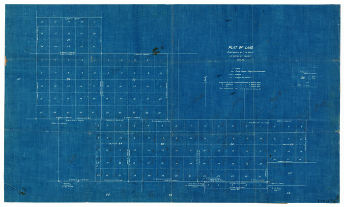
Plat of Land Purchased by C. W. Post in Hockley County, Texas

Print $20.00
- Digital $50.00
Plat of Land Purchased by C. W. Post in Hockley County, Texas
1913
Size 24.1 x 14.5 inches
Map/Doc 91116
[Pencil Sketch of a portion of Block D-8]
![91872, [Pencil Sketch of a portion of Block D-8], Twichell Survey Records](https://historictexasmaps.com/wmedia_w700/maps/91872-1.tif.jpg)
![91872, [Pencil Sketch of a portion of Block D-8], Twichell Survey Records](https://historictexasmaps.com/wmedia_w700/maps/91872-1.tif.jpg)
Print $2.00
- Digital $50.00
[Pencil Sketch of a portion of Block D-8]
1937
Size 14.5 x 9.1 inches
Map/Doc 91872
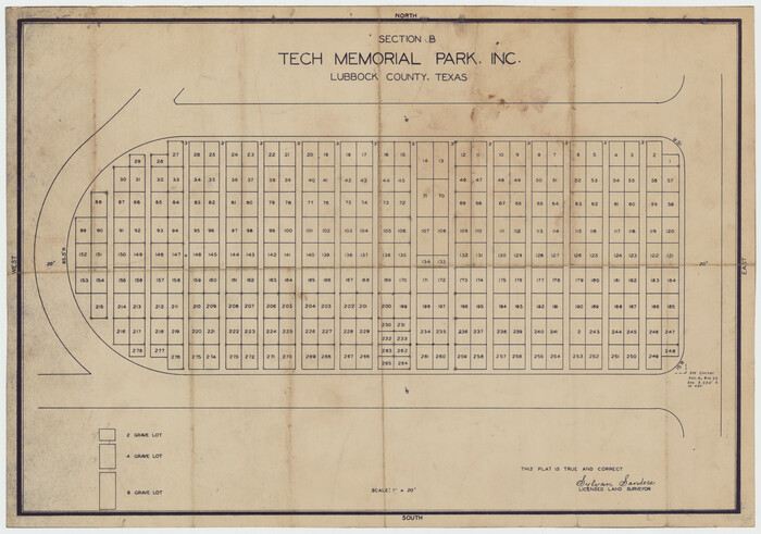
Section B Tech Memorial Park, Inc.

Print $3.00
- Digital $50.00
Section B Tech Memorial Park, Inc.
Size 14.1 x 10.0 inches
Map/Doc 92268
[Sketch of PSL Blocks A20, A35, A44, A45]
![89739, [Sketch of PSL Blocks A20, A35, A44, A45], Twichell Survey Records](https://historictexasmaps.com/wmedia_w700/maps/89739-1.tif.jpg)
![89739, [Sketch of PSL Blocks A20, A35, A44, A45], Twichell Survey Records](https://historictexasmaps.com/wmedia_w700/maps/89739-1.tif.jpg)
Print $40.00
- Digital $50.00
[Sketch of PSL Blocks A20, A35, A44, A45]
Size 22.7 x 66.9 inches
Map/Doc 89739
Lamb-Castro County Line


Print $20.00
- Digital $50.00
Lamb-Castro County Line
Size 45.3 x 15.5 inches
Map/Doc 91057
[Block C-41, Section 37, Dawson County, Texas]
![92629, [Block C-41, Section 37, Dawson County, Texas], Twichell Survey Records](https://historictexasmaps.com/wmedia_w700/maps/92629-1.tif.jpg)
![92629, [Block C-41, Section 37, Dawson County, Texas], Twichell Survey Records](https://historictexasmaps.com/wmedia_w700/maps/92629-1.tif.jpg)
Print $20.00
- Digital $50.00
[Block C-41, Section 37, Dawson County, Texas]
1950
Size 14.3 x 12.6 inches
Map/Doc 92629
[Sketch showing the Northwest part of Hale County and the Northeast part of Lamb County]
![93205, [Sketch showing the Northwest part of Hale County and the Northeast part of Lamb County], Twichell Survey Records](https://historictexasmaps.com/wmedia_w700/maps/93205-1.tif.jpg)
![93205, [Sketch showing the Northwest part of Hale County and the Northeast part of Lamb County], Twichell Survey Records](https://historictexasmaps.com/wmedia_w700/maps/93205-1.tif.jpg)
Print $40.00
- Digital $50.00
[Sketch showing the Northwest part of Hale County and the Northeast part of Lamb County]
Size 55.3 x 56.7 inches
Map/Doc 93205
[Leagues 633-737]
![91107, [Leagues 633-737], Twichell Survey Records](https://historictexasmaps.com/wmedia_w700/maps/91107-1.tif.jpg)
![91107, [Leagues 633-737], Twichell Survey Records](https://historictexasmaps.com/wmedia_w700/maps/91107-1.tif.jpg)
Print $20.00
- Digital $50.00
[Leagues 633-737]
Size 23.9 x 19.6 inches
Map/Doc 91107
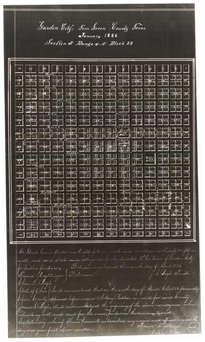
Garden City Townsite, Section 5, Range 4 South, Block 33

Print $2.00
- Digital $50.00
Garden City Townsite, Section 5, Range 4 South, Block 33
1886
Size 9.0 x 15.4 inches
Map/Doc 90763
You may also like
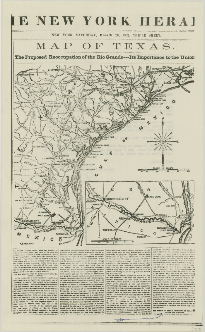
Map of Texas. The Proposed Reoccupation of the Rio Grande -- Its Importance to the Union

Print $20.00
Map of Texas. The Proposed Reoccupation of the Rio Grande -- Its Importance to the Union
1863
Size 14.1 x 8.7 inches
Map/Doc 76263
Cooke County Working Sketch 20


Print $20.00
- Digital $50.00
Cooke County Working Sketch 20
1956
Size 21.1 x 10.4 inches
Map/Doc 68257
Deaf Smith County Rolled Sketch 1


Print $20.00
- Digital $50.00
Deaf Smith County Rolled Sketch 1
1965
Size 24.8 x 25.9 inches
Map/Doc 5698
Guadalupe County Sketch File 16


Print $22.00
- Digital $50.00
Guadalupe County Sketch File 16
Size 15.7 x 12.4 inches
Map/Doc 24694
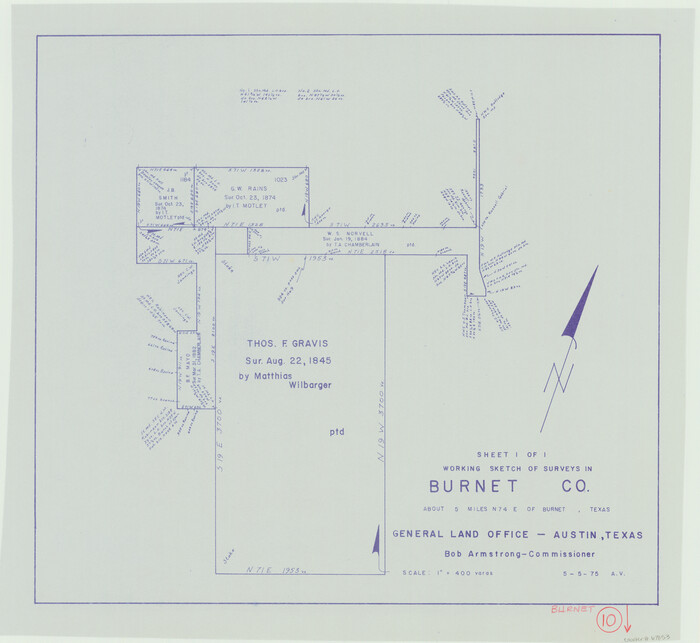
Burnet County Working Sketch 10

Print $20.00
- Digital $50.00
Burnet County Working Sketch 10
1975
Size 18.6 x 20.3 inches
Map/Doc 67853
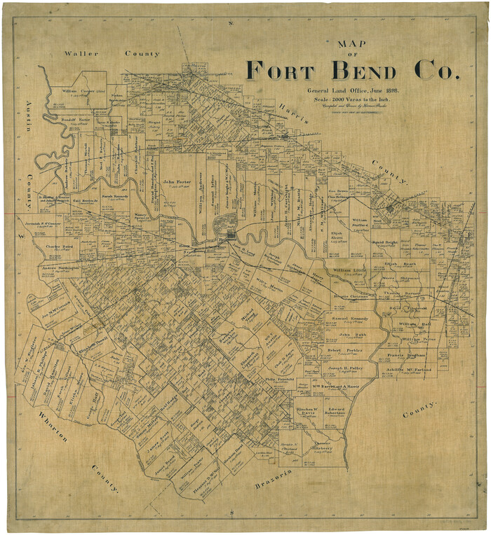
Map of Fort Bend Co.

Print $20.00
- Digital $50.00
Map of Fort Bend Co.
1898
Size 45.1 x 41.1 inches
Map/Doc 75965
[Leagues 7, 8, 9, and 10]
![92218, [Leagues 7, 8, 9, and 10], Twichell Survey Records](https://historictexasmaps.com/wmedia_w700/maps/92218-1.tif.jpg)
![92218, [Leagues 7, 8, 9, and 10], Twichell Survey Records](https://historictexasmaps.com/wmedia_w700/maps/92218-1.tif.jpg)
Print $20.00
- Digital $50.00
[Leagues 7, 8, 9, and 10]
1943
Size 20.0 x 13.4 inches
Map/Doc 92218
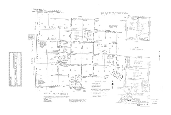
Presidio County Rolled Sketch 134

Print $20.00
- Digital $50.00
Presidio County Rolled Sketch 134
Size 26.6 x 39.6 inches
Map/Doc 7401
Runnels County Working Sketch 16


Print $20.00
- Digital $50.00
Runnels County Working Sketch 16
1950
Size 30.1 x 35.5 inches
Map/Doc 63612
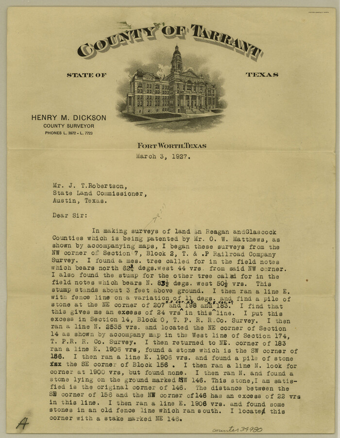
Reagan County Sketch File 5

Print $12.00
- Digital $50.00
Reagan County Sketch File 5
1927
Size 11.2 x 8.7 inches
Map/Doc 34980
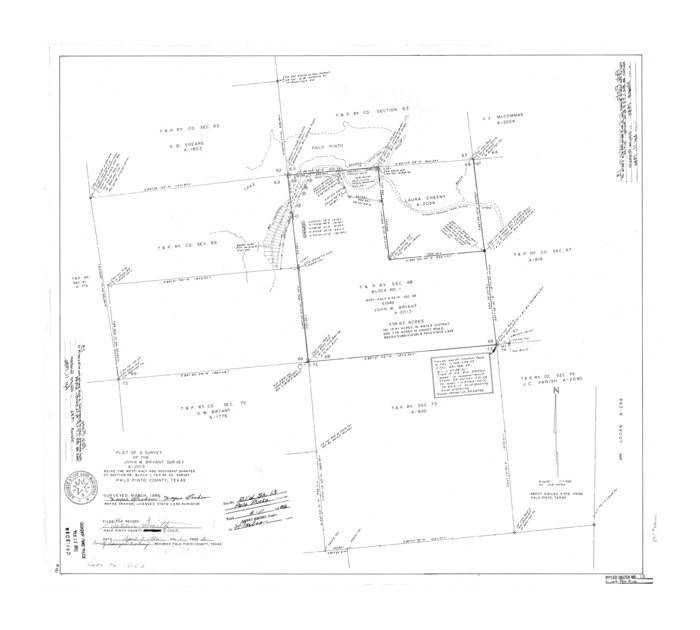
Palo Pinto County Rolled Sketch 13

Print $20.00
- Digital $50.00
Palo Pinto County Rolled Sketch 13
1986
Size 29.0 x 32.2 inches
Map/Doc 7193
![91065, [Leagues 571- 575, 578- 583, 603- 609, and Surrounding Surveys], Twichell Survey Records](https://historictexasmaps.com/wmedia_w1800h1800/maps/91065-1.tif.jpg)
