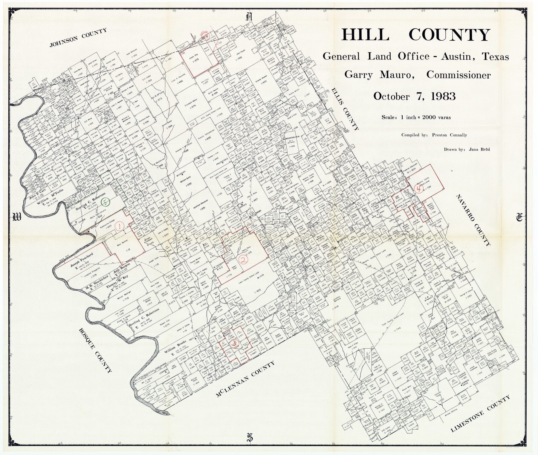
Hill County Working Sketch Graphic Index
-
Map/Doc
76578
-
Collection
General Map Collection
-
Object Dates
10/7/1983 (Creation Date)
-
People and Organizations
Preston R. Connally (Compiler)
Jana Brod (Draftsman)
-
Counties
Hill
-
Subjects
County Surveying Working Sketch
-
Height x Width
39.8 x 46.9 inches
101.1 x 119.1 cm
-
Scale
1" = 2000 varas
Part of: General Map Collection
McCulloch County Sketch File 2

Print $4.00
- Digital $50.00
McCulloch County Sketch File 2
1872
Size 12.8 x 8.1 inches
Map/Doc 31167
Aransas County Sketch File 15a

Print $14.00
- Digital $50.00
Aransas County Sketch File 15a
Size 11.0 x 8.4 inches
Map/Doc 13136
Real County Working Sketch 22

Print $20.00
- Digital $50.00
Real County Working Sketch 22
1945
Size 20.0 x 21.7 inches
Map/Doc 71914
Potter County Boundary File 4a

Print $80.00
- Digital $50.00
Potter County Boundary File 4a
Size 15.2 x 99.1 inches
Map/Doc 58011
Medina County Rolled Sketch 23

Print $20.00
- Digital $50.00
Medina County Rolled Sketch 23
Size 30.4 x 42.6 inches
Map/Doc 89063
La Salle County Sketch File 46

Print $20.00
- Digital $50.00
La Salle County Sketch File 46
Size 14.1 x 8.6 inches
Map/Doc 29603
El Paso County

Print $40.00
- Digital $50.00
El Paso County
1881
Size 52.6 x 42.4 inches
Map/Doc 89058
Kinney County Working Sketch 41

Print $20.00
- Digital $50.00
Kinney County Working Sketch 41
1973
Size 36.2 x 44.2 inches
Map/Doc 70223

Reagan County Rolled Sketch 17

Print $20.00
- Digital $50.00
Reagan County Rolled Sketch 17
Size 34.8 x 32.9 inches
Map/Doc 9812
Atascosa County

Print $20.00
- Digital $50.00
Atascosa County
1862
Size 29.8 x 25.2 inches
Map/Doc 3248
Map of Dallas & Wichita Railroad Survey

Print $40.00
- Digital $50.00
Map of Dallas & Wichita Railroad Survey
1874
Size 37.3 x 82.7 inches
Map/Doc 64417
You may also like
The "Magic Valley" of the Lower Rio Grande - the Land of Golden Fruit

The "Magic Valley" of the Lower Rio Grande - the Land of Golden Fruit
1930
Map/Doc 96745
Guadalupe County

Print $20.00
- Digital $50.00
Guadalupe County
1877
Size 21.5 x 21.4 inches
Map/Doc 3608
Van Zandt County Sketch File 9a

Print $4.00
- Digital $50.00
Van Zandt County Sketch File 9a
1858
Size 12.4 x 8.0 inches
Map/Doc 39393
San Luis Pass to East Matagorda Bay

Print $40.00
- Digital $50.00
San Luis Pass to East Matagorda Bay
1991
Size 35.0 x 48.8 inches
Map/Doc 69972
Map of Texas from the most recent authorities

Map of Texas from the most recent authorities
1845
Size 11.2 x 17.2 inches
Map/Doc 4333
Haskell County Rolled Sketch 9

Print $20.00
- Digital $50.00
Haskell County Rolled Sketch 9
Size 16.4 x 34.3 inches
Map/Doc 6168
McMullen County Sketch File 44

Print $6.00
- Digital $50.00
McMullen County Sketch File 44
1942
Size 14.2 x 8.8 inches
Map/Doc 31426
Winkler County Sketch File 16

Print $30.00
- Digital $50.00
Winkler County Sketch File 16
1929
Size 14.2 x 8.7 inches
Map/Doc 40493
Flight Mission No. CLL-1N, Frame 11, Willacy County

Print $20.00
- Digital $50.00
Flight Mission No. CLL-1N, Frame 11, Willacy County
1954
Size 18.5 x 22.2 inches
Map/Doc 86998
The Mexican Municipality of Sabine. Created, December 15, 1835

Print $20.00
The Mexican Municipality of Sabine. Created, December 15, 1835
2020
Size 22.7 x 21.7 inches
Map/Doc 96031
King County Working Sketch 1

Print $20.00
- Digital $50.00
King County Working Sketch 1
1913
Size 18.2 x 23.8 inches
Map/Doc 70165
Harris County Rolled Sketch 67

Print $20.00
- Digital $50.00
Harris County Rolled Sketch 67
1940
Size 15.7 x 26.9 inches
Map/Doc 6109