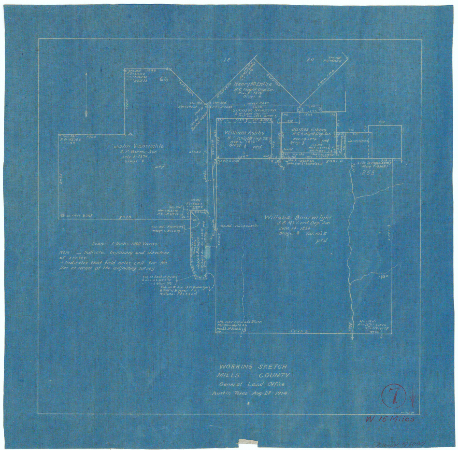
Mills County Working Sketch 7
-
Map/Doc
71037
-
Collection
General Map Collection
-
Object Dates
8/28/1914 (Creation Date)
-
People and Organizations
J.W. Pritchett (Draftsman)
-
Counties
Mills
-
Subjects
Surveying Working Sketch
-
Height x Width
12.8 x 13.0 inches
32.5 x 33.0 cm
-
Scale
1" = 1000 varas
Part of: General Map Collection
Nueces County Rolled Sketch 27

Print $40.00
- Digital $50.00
Nueces County Rolled Sketch 27
1946
Size 180.8 x 12.6 inches
Map/Doc 9596
Jefferson County Rolled Sketch 30

Print $20.00
- Digital $50.00
Jefferson County Rolled Sketch 30
1954
Size 34.1 x 39.9 inches
Map/Doc 6392
Presidio County Sketch File 87

Print $6.00
- Digital $50.00
Presidio County Sketch File 87
1951
Size 14.5 x 8.7 inches
Map/Doc 34748
Nueces County Sketch File 45

Print $6.00
- Digital $50.00
Nueces County Sketch File 45
Size 11.1 x 8.6 inches
Map/Doc 32641
Map of the District of San Patricio and Nueces

Print $40.00
- Digital $50.00
Map of the District of San Patricio and Nueces
Size 93.9 x 36.4 inches
Map/Doc 93367
Aransas County Sketch File 15a

Print $14.00
- Digital $50.00
Aransas County Sketch File 15a
Size 11.0 x 8.4 inches
Map/Doc 13136
Bastrop County Working Sketch 6

Print $20.00
- Digital $50.00
Bastrop County Working Sketch 6
1923
Size 37.5 x 31.2 inches
Map/Doc 67306
Wilbarger County Sketch File 7

Print $4.00
- Digital $50.00
Wilbarger County Sketch File 7
1883
Size 12.7 x 8.3 inches
Map/Doc 40175
Coleman County Sketch File 40

Print $28.00
- Digital $50.00
Coleman County Sketch File 40
Size 14.3 x 8.9 inches
Map/Doc 18744
Cameron County

Print $20.00
- Digital $50.00
Cameron County
1913
Size 28.9 x 32.1 inches
Map/Doc 4752
Clay County Sketch File 9

Print $6.00
- Digital $50.00
Clay County Sketch File 9
1860
Size 8.4 x 7.6 inches
Map/Doc 18400
Map of Comanche County

Print $20.00
- Digital $50.00
Map of Comanche County
1884
Size 20.9 x 26.5 inches
Map/Doc 3434
You may also like


Aransas County Working Sketch 18

Print $20.00
- Digital $50.00
Aransas County Working Sketch 18
1961
Size 36.0 x 30.7 inches
Map/Doc 67185
Ellis County Sketch File 2

Print $11.00
- Digital $50.00
Ellis County Sketch File 2
1858
Size 8.4 x 9.7 inches
Map/Doc 21827
Jefferson County NRC Article 33.136 Sketch 2

Print $20.00
- Digital $50.00
Jefferson County NRC Article 33.136 Sketch 2
2002
Size 24.3 x 35.9 inches
Map/Doc 77048
Panola County Rolled Sketch 7

Print $20.00
- Digital $50.00
Panola County Rolled Sketch 7
1957
Size 19.4 x 27.8 inches
Map/Doc 7199
J. De Cordova's Map of the State of Texas Compiled from the records of the General Land Office of the State

Print $20.00
- Digital $50.00
J. De Cordova's Map of the State of Texas Compiled from the records of the General Land Office of the State
Size 38.5 x 36.4 inches
Map/Doc 93984

Jack County Sketch File 10a

Print $4.00
- Digital $50.00
Jack County Sketch File 10a
1858
Size 13.8 x 8.3 inches
Map/Doc 27529
Borden County Sketch File 3b

Print $40.00
- Digital $50.00
Borden County Sketch File 3b
1902
Size 9.5 x 21.1 inches
Map/Doc 10933
Flight Mission No. CUG-1P, Frame 49, Kleberg County

Print $20.00
- Digital $50.00
Flight Mission No. CUG-1P, Frame 49, Kleberg County
1956
Size 18.5 x 22.4 inches
Map/Doc 86127
Temple Morrow Irrigated Farm South Half of Section 1, Block D6

Print $3.00
- Digital $50.00
Temple Morrow Irrigated Farm South Half of Section 1, Block D6
Size 9.5 x 12.8 inches
Map/Doc 92311