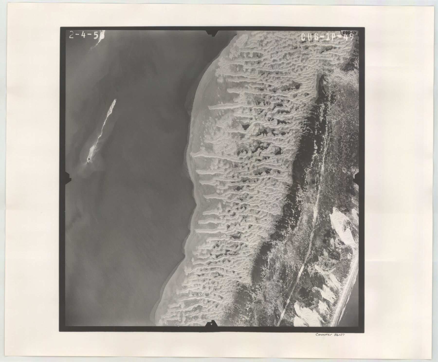
Flight Mission No. CUG-1P, Frame 49, Kleberg County
CUG-1P-49
-
Map/Doc
86127
-
Collection
General Map Collection
-
Object Dates
1956/2/4 (Creation Date)
-
People and Organizations
U. S. Department of Agriculture (Publisher)
-
Counties
Kleberg
-
Subjects
Aerial Photograph
-
Height x Width
18.5 x 22.4 inches
47.0 x 56.9 cm
-
Comments
Flown by V. L. Beavers and Associates of San Antonio, Texas.
Part of: General Map Collection
Map of Shackelford County, North of the Clearfork of the Brazos River Young - South of il Milam - Land District

Print $20.00
- Digital $50.00
Map of Shackelford County, North of the Clearfork of the Brazos River Young - South of il Milam - Land District
1859
Size 24.8 x 19.9 inches
Map/Doc 4027
Culberson County Working Sketch 72

Print $40.00
- Digital $50.00
Culberson County Working Sketch 72
1975
Size 50.1 x 34.2 inches
Map/Doc 68526
Brazoria County Sketch File 19

Print $36.00
- Digital $50.00
Brazoria County Sketch File 19
1913
Size 8.8 x 5.5 inches
Map/Doc 14998
Rusk County Sketch File 39

Print $6.00
Rusk County Sketch File 39
1951
Size 11.3 x 8.9 inches
Map/Doc 35579
Leon County Working Sketch 25

Print $20.00
- Digital $50.00
Leon County Working Sketch 25
1968
Size 30.6 x 26.7 inches
Map/Doc 70424
Edwards County Working Sketch 80

Print $20.00
- Digital $50.00
Edwards County Working Sketch 80
1963
Size 23.4 x 23.2 inches
Map/Doc 68956
Brewster County Rolled Sketch 19

Print $20.00
- Digital $50.00
Brewster County Rolled Sketch 19
Size 25.4 x 25.1 inches
Map/Doc 5198
Montague County Rolled Sketch 9

Print $20.00
- Digital $50.00
Montague County Rolled Sketch 9
Size 29.1 x 39.4 inches
Map/Doc 6793
Polk County Boundary File 1

Print $24.00
- Digital $50.00
Polk County Boundary File 1
Size 12.6 x 8.0 inches
Map/Doc 57912
Nueces County Rolled Sketch 42

Print $45.00
Nueces County Rolled Sketch 42
1970
Size 27.6 x 39.2 inches
Map/Doc 6880
Morris County Rolled Sketch 2A

Print $20.00
- Digital $50.00
Morris County Rolled Sketch 2A
Size 22.7 x 17.7 inches
Map/Doc 10227
Mills County Boundary File 4

Print $40.00
- Digital $50.00
Mills County Boundary File 4
Size 52.1 x 13.3 inches
Map/Doc 57293
You may also like
Nacogdoches County Sketch File 4

Print $4.00
- Digital $50.00
Nacogdoches County Sketch File 4
1858
Size 10.0 x 7.8 inches
Map/Doc 32241
Flight Mission No. CUG-3P, Frame 77, Kleberg County

Print $20.00
- Digital $50.00
Flight Mission No. CUG-3P, Frame 77, Kleberg County
1956
Size 18.7 x 22.4 inches
Map/Doc 86252
McCulloch County Sketch File 14

Print $8.00
- Digital $50.00
McCulloch County Sketch File 14
1990
Size 11.2 x 8.7 inches
Map/Doc 31203
Schleicher County Sketch File 24a

Print $20.00
- Digital $50.00
Schleicher County Sketch File 24a
Size 16.1 x 16.4 inches
Map/Doc 12303
Hopkins County

Print $20.00
- Digital $50.00
Hopkins County
1888
Size 36.4 x 36.6 inches
Map/Doc 448
Menard County Boundary File 3a

Print $4.00
- Digital $50.00
Menard County Boundary File 3a
Size 10.6 x 8.1 inches
Map/Doc 57074
Harrison County Rolled Sketch 5

Print $20.00
- Digital $50.00
Harrison County Rolled Sketch 5
1949
Size 33.7 x 19.3 inches
Map/Doc 6467
Flight Mission No. DQN-3K, Frame 50, Calhoun County

Print $20.00
- Digital $50.00
Flight Mission No. DQN-3K, Frame 50, Calhoun County
1953
Size 18.4 x 22.2 inches
Map/Doc 84351
Edwards County Rolled Sketch 16A

Print $20.00
- Digital $50.00
Edwards County Rolled Sketch 16A
1944
Size 25.0 x 19.0 inches
Map/Doc 5805
Tarrant County Working Sketch Graphic Index

Print $20.00
- Digital $50.00
Tarrant County Working Sketch Graphic Index
1942
Size 44.0 x 35.8 inches
Map/Doc 76708
Stonewall County Sketch File 13

Print $20.00
- Digital $50.00
Stonewall County Sketch File 13
1901
Size 22.4 x 18.8 inches
Map/Doc 12365
King County Working Sketch 3

Print $20.00
- Digital $50.00
King County Working Sketch 3
1934
Size 10.4 x 20.1 inches
Map/Doc 70167