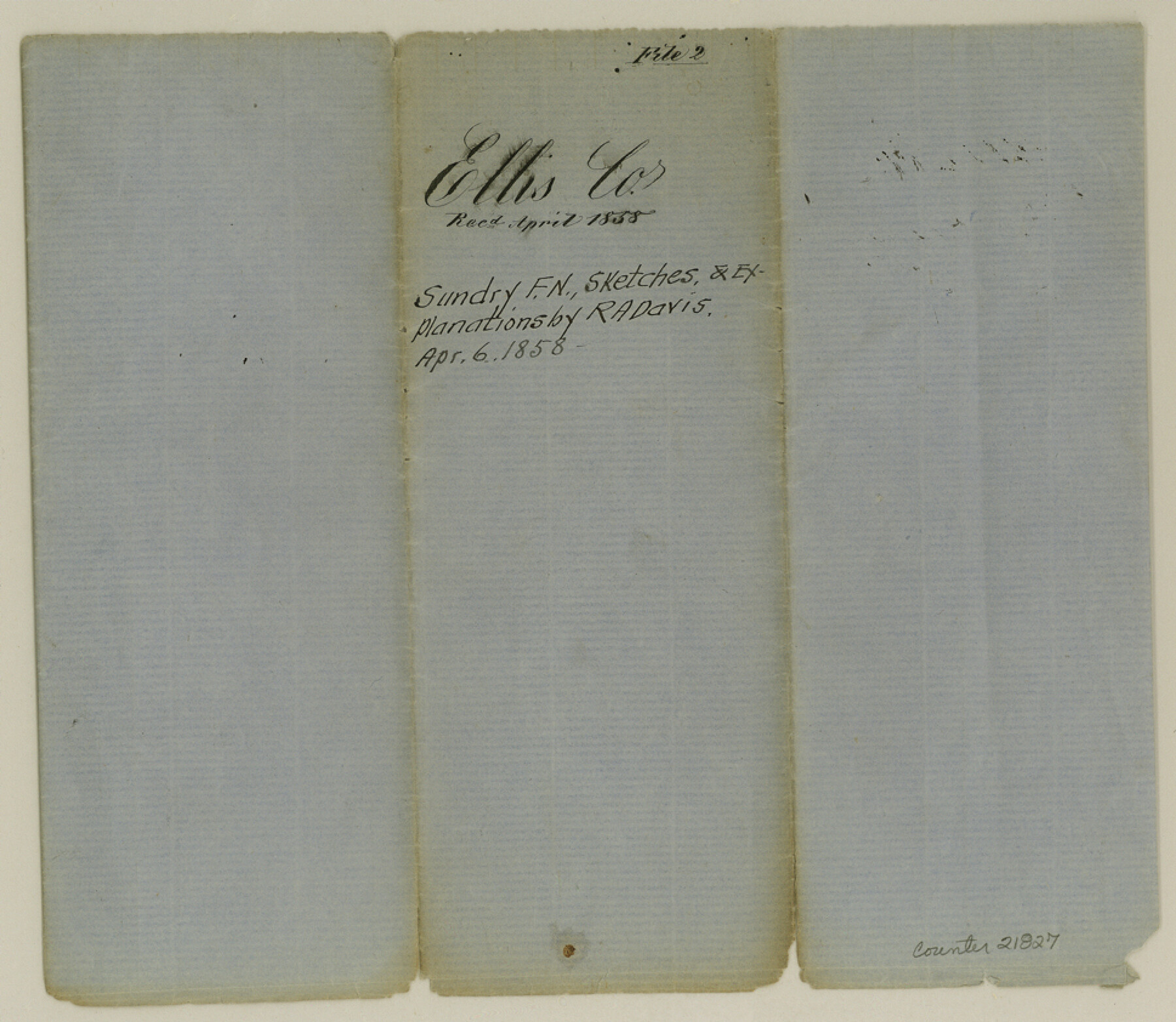
Ellis County Sketch File 2
[Multiple field notes, sketches and explanations]
- 
                          Map/Doc
21827
 - 
                            Collection
General Map Collection
 - 
                            Object Dates
1858/4/6 (Creation Date)
1858 (File Date)
1858/3/6 (Survey Date)
1858/2/26 (Survey Date)
1858/1/30 (Survey Date)
 - 
                            People and Organizations
R.A. Davis (Surveyor/Engineer)
 - 
                            Counties
Ellis Bell Shelby
 - 
                            Subjects
Surveying Sketch File
 - 
                            Height x Width
8.4 x 9.7 inches
21.3 x 24.6 cm
 - 
                            Medium
paper, manuscript
 - 
                            Features
Mercer Colony
Cummins Creek
Waxahachie
Peter's Colony
Corsicana
Belton
Grove Creek
Springfield
Chambers Creek
North Fork of Chambers Creek
 
Part of: General Map Collection
            Matagorda County Working Sketch 17


                                            Print $20.00                    
                                             -                         Digital $50.00                                    
                Matagorda County Working Sketch 17
1961
Size 31.2 x 42.2 inches
                                Map/Doc 70875
            
            Clay County Boundary File 9


                                            Print $8.00                    
                                             -                         Digital $50.00                                    
                Clay County Boundary File 9
Size 7.7 x 8.2 inches
                                Map/Doc 51393
            
            Township No. 1 South Range No. 20 West of the Indian Meridian


                                            Print $20.00                    
                                             -                         Digital $50.00                                    
                Township No. 1 South Range No. 20 West of the Indian Meridian
1875
Size 19.3 x 24.4 inches
                                Map/Doc 75179
            
            Edwards County Working Sketch 39


                                            Print $20.00                    
                                             -                         Digital $50.00                                    
                Edwards County Working Sketch 39
1948
Size 28.7 x 32.3 inches
                                Map/Doc 68915
            
            Map of The Surveyed Part of Peters Colony Texas


                                            Print $40.00                    
                                             -                         Digital $50.00                                    
                Map of The Surveyed Part of Peters Colony Texas
1858
Size 45.0 x 58.1 inches
                                Map/Doc 4653
            
            Brewster County Rolled Sketch 49B


                                            Print $20.00                    
                                             -                         Digital $50.00                                    
                Brewster County Rolled Sketch 49B
Size 14.2 x 24.2 inches
                                Map/Doc 5225
            
            Freestone County Sketch File 25


                                            Print $18.00                    
                                             -                         Digital $50.00                                    
                Freestone County Sketch File 25
1952
Size 11.3 x 8.6 inches
                                Map/Doc 23087
            
            Trinity River, Levee Improvement Districts, Widths of Floodways/Pilot Grove Creek and East Fork Trinity River


                                            Print $6.00                    
                                             -                         Digital $50.00                                    
                Trinity River, Levee Improvement Districts, Widths of Floodways/Pilot Grove Creek and East Fork Trinity River
1920
Size 33.0 x 17.1 inches
                                Map/Doc 65259
            
            Harris County Sketch File 12


                                            Print $40.00                    
                                             -                         Digital $50.00                                    
                Harris County Sketch File 12
1896
Size 16.1 x 12.5 inches
                                Map/Doc 25353
            
            Palo Pinto County


                                            Print $20.00                    
                                             -                         Digital $50.00                                    
                Palo Pinto County
1856
Size 29.9 x 20.9 inches
                                Map/Doc 1394
            
            Kinney County


                                            Print $40.00                    
                                             -                         Digital $50.00                                    
                Kinney County
1909
Size 48.4 x 42.7 inches
                                Map/Doc 16868
            
            Flight Mission No. DAH-9M, Frame 205, Orange County


                                            Print $20.00                    
                                             -                         Digital $50.00                                    
                Flight Mission No. DAH-9M, Frame 205, Orange County
1953
Size 18.7 x 22.6 inches
                                Map/Doc 86873
            You may also like
            Roberts Addition to the City of Morton


                                            Print $3.00                    
                                             -                         Digital $50.00                                    
                Roberts Addition to the City of Morton
1958
Size 11.8 x 11.4 inches
                                Map/Doc 92540
            
            Map Showing the Route of the Arkansas Regiment from Shreveport La. To San Antonio de Bexar Texas


                                            Print $20.00                    
                                             -                         Digital $50.00                                    
                Map Showing the Route of the Arkansas Regiment from Shreveport La. To San Antonio de Bexar Texas
Size 12.5 x 19.5 inches
                                Map/Doc 94000
            
            San Patricio County Sketch File 34


                                            Print $4.00                    
                                             -                         Digital $50.00                                    
                San Patricio County Sketch File 34
1961
Size 11.4 x 8.8 inches
                                Map/Doc 36119
            
            Wichita County Working Sketch 18


                                            Print $20.00                    
                                             -                         Digital $50.00                                    
                Wichita County Working Sketch 18
1948
Size 34.9 x 20.8 inches
                                Map/Doc 72528
            
            Cameron County Sketch File 4


                                            Print $52.00                    
                                             -                         Digital $50.00                                    
                Cameron County Sketch File 4
1968
Size 11.3 x 8.8 inches
                                Map/Doc 17024
            
            2nd Chain to Long Reef, Texas


                                            Print $40.00                    
                                             -                         Digital $50.00                                    
                2nd Chain to Long Reef, Texas
1860
Size 30.9 x 52.6 inches
                                Map/Doc 69984
            
            Texas, San Antonio Bay, Panther Point


                                            Print $40.00                    
                                             -                         Digital $50.00                                    
                Texas, San Antonio Bay, Panther Point
1934
Size 33.2 x 48.3 inches
                                Map/Doc 69995
            
            Guadalupe County Working Sketch 1 and 1b


                                            Print $20.00                    
                                             -                         Digital $50.00                                    
                Guadalupe County Working Sketch 1 and 1b
1924
Size 16.3 x 32.5 inches
                                Map/Doc 63310
            
            Kimble County Working Sketch 46


                                            Print $20.00                    
                                             -                         Digital $50.00                                    
                Kimble County Working Sketch 46
1951
Size 29.3 x 18.9 inches
                                Map/Doc 70114
            
            Edwards County Working Sketch 60


                                            Print $20.00                    
                                             -                         Digital $50.00                                    
                Edwards County Working Sketch 60
1954
Size 20.5 x 43.7 inches
                                Map/Doc 68936
            
            Controlled Mosaic by Jack Amman Photogrammetric Engineers, Inc - Sheet 56


                                            Print $20.00                    
                                             -                         Digital $50.00                                    
                Controlled Mosaic by Jack Amman Photogrammetric Engineers, Inc - Sheet 56
1954
Size 20.0 x 24.0 inches
                                Map/Doc 83515