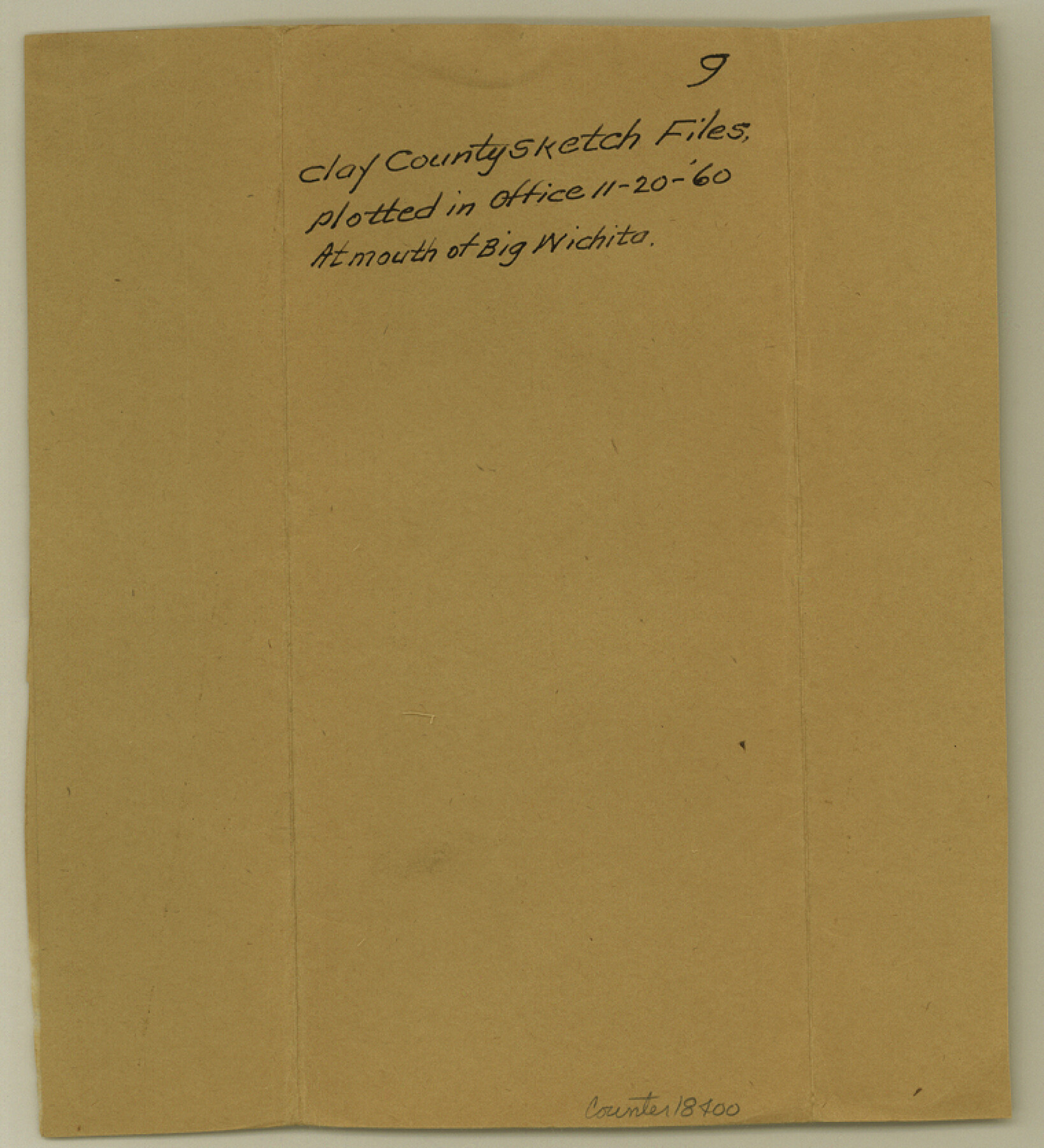
Clay County Sketch File 9
[Office sketch of large area in the north of the county along and south of the Red River and near the mouth of the Big Wichita]
-
Map/Doc
18400
-
Collection
General Map Collection
-
Object Dates
1860/11/20 (File Date)
1860/11/20 (Creation Date)
-
Counties
Wichita Clay
-
Subjects
Surveying Sketch File
-
Height x Width
8.4 x 7.6 inches
21.3 x 19.3 cm
-
Medium
paper, manuscript
-
Features
Red River
Big Wichita River
Part of: General Map Collection
Harbor Pass and Bar at Brazos Santiago, Texas


Print $20.00
- Digital $50.00
Harbor Pass and Bar at Brazos Santiago, Texas
1871
Size 18.2 x 27.0 inches
Map/Doc 73037
Millennium in Maps - Exploration


Millennium in Maps - Exploration
Size 20.6 x 31.5 inches
Map/Doc 95931
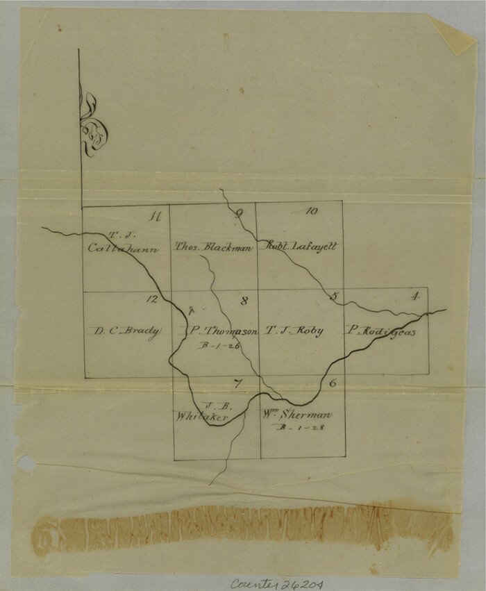
Hays County Sketch File 4

Print $4.00
- Digital $50.00
Hays County Sketch File 4
Size 8.5 x 7.0 inches
Map/Doc 26204
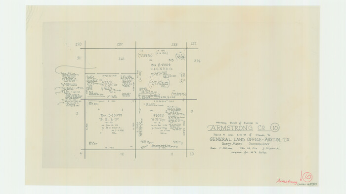
Armstrong County Working Sketch 10

Print $20.00
- Digital $50.00
Armstrong County Working Sketch 10
1993
Size 14.6 x 26.0 inches
Map/Doc 87354
Presidio County Working Sketch 51


Print $20.00
- Digital $50.00
Presidio County Working Sketch 51
1953
Size 33.4 x 43.1 inches
Map/Doc 71728
Brewster County Rolled Sketch 149


Print $20.00
- Digital $50.00
Brewster County Rolled Sketch 149
1951
Size 23.4 x 20.6 inches
Map/Doc 5316
Johnson County Sketch File 11

Print $8.00
- Digital $50.00
Johnson County Sketch File 11
1880
Size 8.0 x 6.8 inches
Map/Doc 28447
Stephens County Working Sketch 10
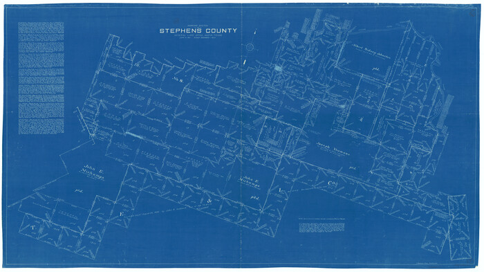

Print $40.00
- Digital $50.00
Stephens County Working Sketch 10
1921
Size 36.1 x 64.1 inches
Map/Doc 63953
Atascosa County
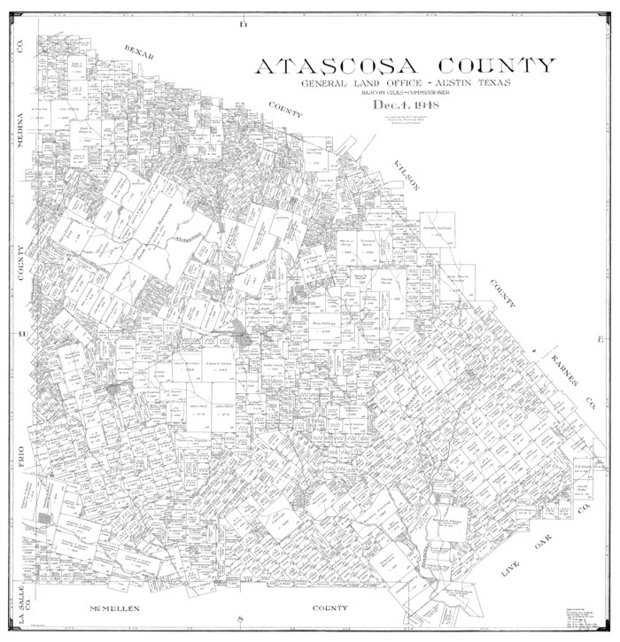

Print $20.00
- Digital $50.00
Atascosa County
1948
Size 47.6 x 44.9 inches
Map/Doc 77204
University Land, Winkler-Andrews-Gaines-Dawson-Martin Counties
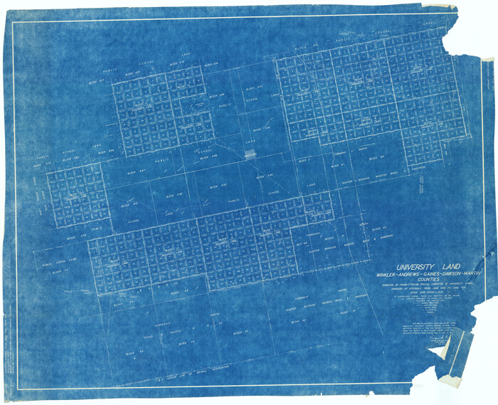

Print $40.00
- Digital $50.00
University Land, Winkler-Andrews-Gaines-Dawson-Martin Counties
1931
Size 42.3 x 52.1 inches
Map/Doc 2419
Map of the Texas & Pacific Ry. Reserve West of the Pecos River


Print $20.00
- Digital $50.00
Map of the Texas & Pacific Ry. Reserve West of the Pecos River
1879
Size 41.1 x 29.8 inches
Map/Doc 65332
Harbor Pass and Bar at Brazos Santiago, Texas


Print $20.00
- Digital $50.00
Harbor Pass and Bar at Brazos Santiago, Texas
1871
Size 18.3 x 26.8 inches
Map/Doc 72982
You may also like
Atascosa County Sketch File 31


Print $4.00
- Digital $50.00
Atascosa County Sketch File 31
1910
Size 9.4 x 4.3 inches
Map/Doc 13825
Jeff Davis County Rolled Sketch 8


Print $20.00
- Digital $50.00
Jeff Davis County Rolled Sketch 8
Size 40.0 x 41.6 inches
Map/Doc 9264
Cottle County Sketch File 17
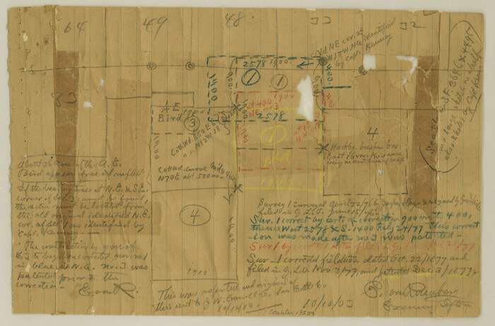

Print $6.00
- Digital $50.00
Cottle County Sketch File 17
1903
Size 7.2 x 10.9 inches
Map/Doc 19554
Hutchinson County Working Sketch 31


Print $20.00
- Digital $50.00
Hutchinson County Working Sketch 31
1978
Size 27.0 x 22.2 inches
Map/Doc 66391
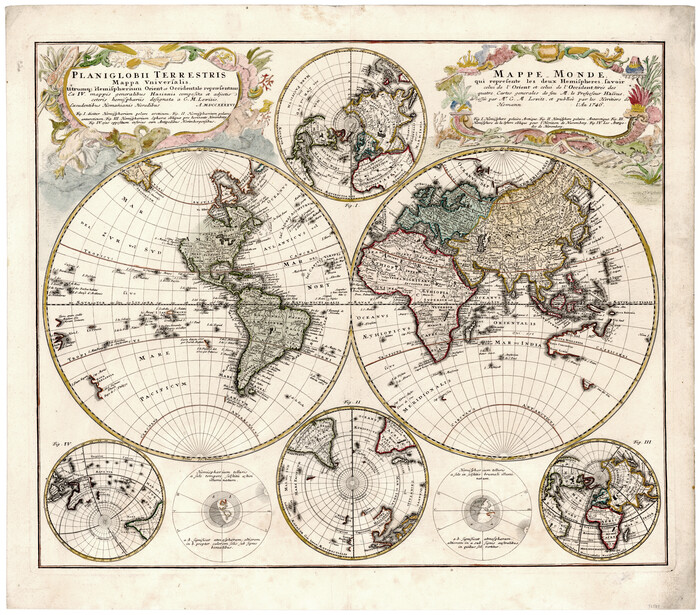
Planiglobii Terrestris Mappa Universalis Utrumqs Hemisphaerium Orient et Occidentale

Print $20.00
- Digital $50.00
Planiglobii Terrestris Mappa Universalis Utrumqs Hemisphaerium Orient et Occidentale
Size 21.4 x 24.4 inches
Map/Doc 96580
Upshur County Sketch File 4

Print $4.00
- Digital $50.00
Upshur County Sketch File 4
1851
Size 4.7 x 6.5 inches
Map/Doc 38738
Denton County Working Sketch 22

Print $20.00
- Digital $50.00
Denton County Working Sketch 22
1983
Size 36.1 x 34.0 inches
Map/Doc 68627
Chambers County Working Sketch 3

Print $20.00
- Digital $50.00
Chambers County Working Sketch 3
1935
Size 35.9 x 38.8 inches
Map/Doc 67986
Montgomery County Working Sketch 3


Print $20.00
- Digital $50.00
Montgomery County Working Sketch 3
1918
Size 16.5 x 14.1 inches
Map/Doc 71109
Working Sketch Patents & Field Notes, Sabine Lake Area
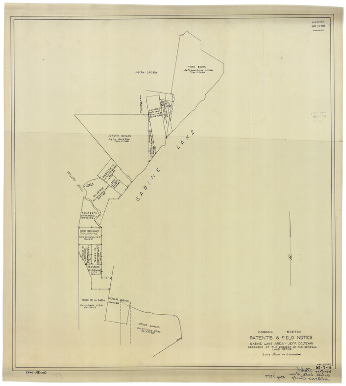

Print $20.00
- Digital $50.00
Working Sketch Patents & Field Notes, Sabine Lake Area
1959
Size 30.2 x 27.0 inches
Map/Doc 2455
Menard County Rolled Sketch 9
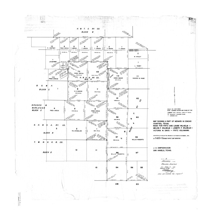

Print $20.00
- Digital $50.00
Menard County Rolled Sketch 9
Size 36.0 x 34.1 inches
Map/Doc 6756
Fisher County Rolled Sketch 7
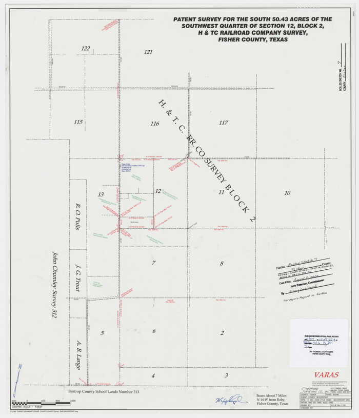

Print $20.00
- Digital $50.00
Fisher County Rolled Sketch 7
2009
Size 28.6 x 24.6 inches
Map/Doc 89988
