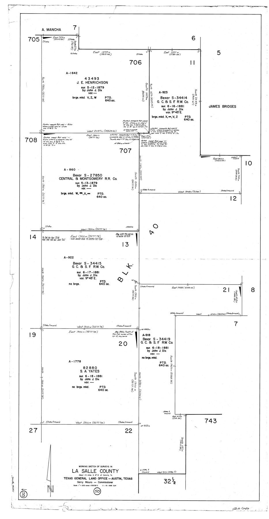
La Salle County Working Sketch 50
-
Map/Doc
70351
-
Collection
General Map Collection
-
Object Dates
11/19/1985 (Creation Date)
-
People and Organizations
Douglas Howard (Draftsman)
-
Counties
La Salle
-
Subjects
Surveying Working Sketch
-
Height x Width
50.6 x 26.2 inches
128.5 x 66.6 cm
-
Scale
1" = 200 varas
Part of: General Map Collection
Starr County Working Sketch 29

Print $20.00
- Digital $50.00
Starr County Working Sketch 29
2007
Size 28.6 x 34.0 inches
Map/Doc 87208
Flight Mission No. DAG-24K, Frame 44, Matagorda County

Print $20.00
- Digital $50.00
Flight Mission No. DAG-24K, Frame 44, Matagorda County
1953
Size 16.0 x 15.9 inches
Map/Doc 86531

Aransas County Working Sketch 12

Print $20.00
- Digital $50.00
Aransas County Working Sketch 12
1950
Size 18.3 x 23.8 inches
Map/Doc 67179
San Patricio County Sketch File 55

Print $14.00
- Digital $50.00
San Patricio County Sketch File 55
1999
Size 11.3 x 8.8 inches
Map/Doc 36394
Mitchell County Boundary File 66a

Print $11.00
- Digital $50.00
Mitchell County Boundary File 66a
Size 12.6 x 8.3 inches
Map/Doc 57378
Flight Mission No. DIX-6P, Frame 112, Aransas County

Print $20.00
- Digital $50.00
Flight Mission No. DIX-6P, Frame 112, Aransas County
1956
Size 18.9 x 22.7 inches
Map/Doc 83818
Culberson County Sketch File 5a

Print $44.00
- Digital $50.00
Culberson County Sketch File 5a
Size 14.2 x 8.8 inches
Map/Doc 20169
Ward County Rolled Sketch 22

Print $40.00
- Digital $50.00
Ward County Rolled Sketch 22
1873
Size 69.2 x 18.0 inches
Map/Doc 10110
Galveston County Sketch File 27

Print $20.00
- Digital $50.00
Galveston County Sketch File 27
Size 18.3 x 30.0 inches
Map/Doc 11532
Texas and part of Mexico & the United States, showing the route of the first Santa Fe Expedition

Print $20.00
- Digital $50.00
Texas and part of Mexico & the United States, showing the route of the first Santa Fe Expedition
1844
Size 18.1 x 13.2 inches
Map/Doc 94035
[Sketch for Mineral Application 14125 - Neches River, R. B. Moore]
![65668, [Sketch for Mineral Application 14125 - Neches River, R. B. Moore], General Map Collection](https://historictexasmaps.com/wmedia_w700/maps/65668.tif.jpg)
Print $40.00
- Digital $50.00
[Sketch for Mineral Application 14125 - Neches River, R. B. Moore]
1928
Size 50.1 x 26.6 inches
Map/Doc 65668
You may also like
[Worksheets related to the Wilson Strickland survey and vicinity]
![91283, [Worksheets related to the Wilson Strickland survey and vicinity], Twichell Survey Records](https://historictexasmaps.com/wmedia_w700/maps/91283-1.tif.jpg)
Print $20.00
- Digital $50.00
[Worksheets related to the Wilson Strickland survey and vicinity]
Size 9.9 x 29.7 inches
Map/Doc 91283
Gillespie County Working Sketch 10

Print $20.00
- Digital $50.00
Gillespie County Working Sketch 10
1994
Size 45.0 x 35.1 inches
Map/Doc 63173
Flight Mission No. DQO-8K, Frame 9, Galveston County

Print $20.00
- Digital $50.00
Flight Mission No. DQO-8K, Frame 9, Galveston County
1952
Size 18.7 x 22.5 inches
Map/Doc 85132
Cameron County Boundary File 3

Print $26.00
- Digital $50.00
Cameron County Boundary File 3
Size 14.4 x 8.4 inches
Map/Doc 51097
Starr County Sketch File 9

Print $22.00
- Digital $50.00
Starr County Sketch File 9
Size 9.1 x 7.9 inches
Map/Doc 36861
Lubbock County

Print $20.00
- Digital $50.00
Lubbock County
1892
Size 25.0 x 20.6 inches
Map/Doc 66910
Index Map No. 1 - Rio Bravo del Norte section of boundary between the United States & Mexico; agreed upon by the Joint Commission under the Treaty of Guadalupe Hidalgo

Print $20.00
- Digital $50.00
Index Map No. 1 - Rio Bravo del Norte section of boundary between the United States & Mexico; agreed upon by the Joint Commission under the Treaty of Guadalupe Hidalgo
1852
Size 18.3 x 27.5 inches
Map/Doc 72861
Fisher County Sketch File A2

Print $20.00
- Digital $50.00
Fisher County Sketch File A2
1901
Size 35.8 x 31.0 inches
Map/Doc 10450
Fort Bend County Sketch File 36

Print $6.00
- Digital $50.00
Fort Bend County Sketch File 36
1997
Size 11.4 x 8.9 inches
Map/Doc 23007
Jeff Davis County Sketch File 34

Print $16.00
- Digital $50.00
Jeff Davis County Sketch File 34
1915
Size 8.5 x 5.4 inches
Map/Doc 28040
Erath County Sketch File 11

Print $4.00
- Digital $50.00
Erath County Sketch File 11
1871
Size 12.8 x 8.1 inches
Map/Doc 22279
San Saba County Boundary File 77a

Print $51.00
- Digital $50.00
San Saba County Boundary File 77a
Size 17.3 x 10.8 inches
Map/Doc 58591