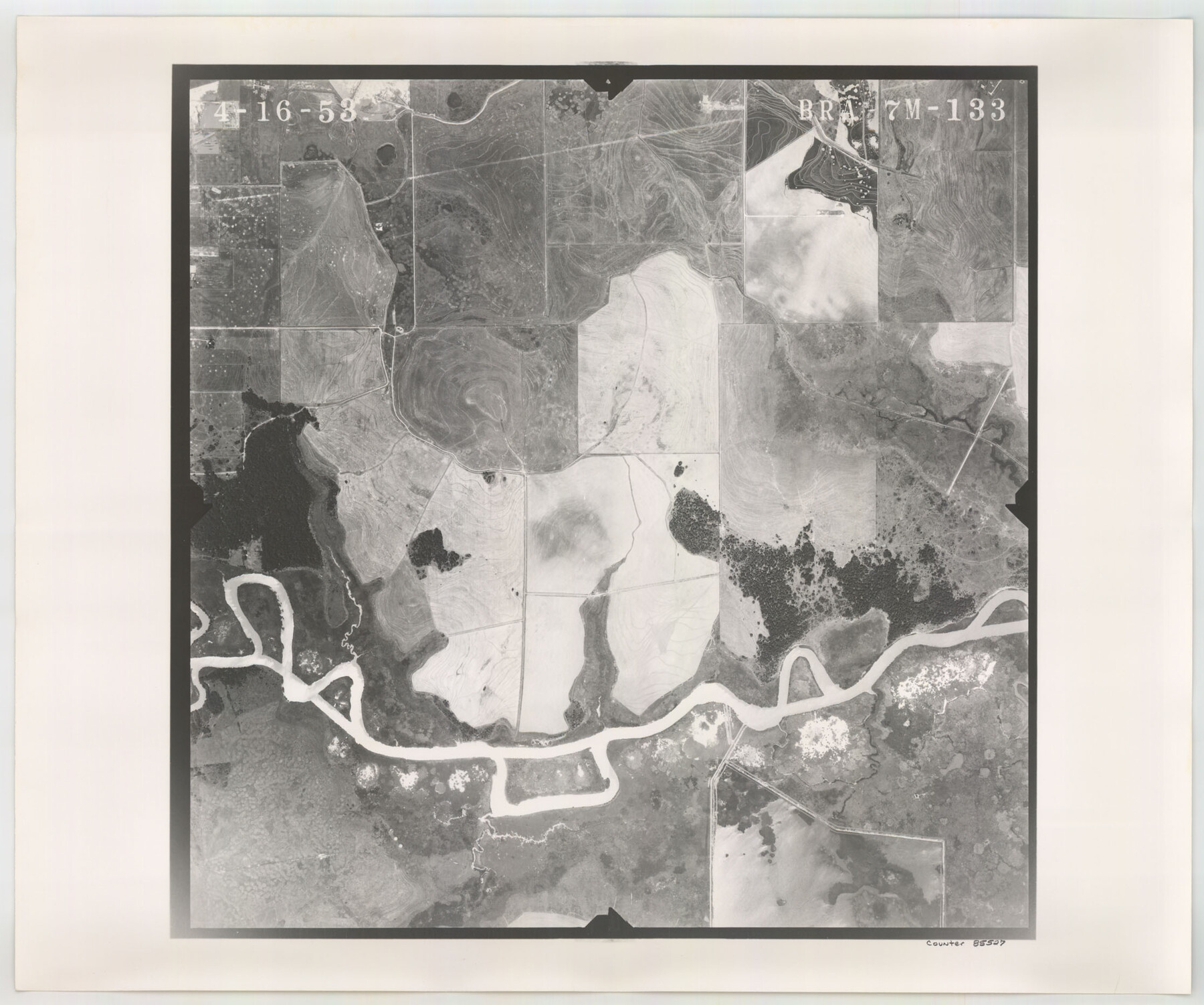
Flight Mission No. BRA-7M, Frame 133, Jefferson County
BRA-7M-133
-
Map/Doc
85527
-
Collection
General Map Collection
-
Object Dates
1953/4/16 (Creation Date)
-
People and Organizations
U. S. Department of Agriculture (Publisher)
-
Counties
Jefferson
-
Subjects
Aerial Photograph
-
Height x Width
18.6 x 22.3 inches
47.2 x 56.6 cm
-
Comments
Flown by Jack Ammann Photogrammetric Engineers of San Antonio, Texas.
Part of: General Map Collection
Outer Continental Shelf Leasing Maps (Louisiana Offshore Operations)

Print $20.00
- Digital $50.00
Outer Continental Shelf Leasing Maps (Louisiana Offshore Operations)
1954
Size 21.2 x 16.3 inches
Map/Doc 76103
Sherman County Sketch File 2

Print $20.00
- Digital $50.00
Sherman County Sketch File 2
Size 19.5 x 36.3 inches
Map/Doc 12323
Houston County Rolled Sketch 8

Print $20.00
- Digital $50.00
Houston County Rolled Sketch 8
1948
Size 27.7 x 20.3 inches
Map/Doc 6228
Live Oak County Sketch File 11b

Print $6.00
- Digital $50.00
Live Oak County Sketch File 11b
Size 8.2 x 12.6 inches
Map/Doc 30267
Archer County Boundary File 2

Print $92.00
- Digital $50.00
Archer County Boundary File 2
Size 14.4 x 8.4 inches
Map/Doc 50086
Sutton County Sketch File 26

Print $20.00
- Digital $50.00
Sutton County Sketch File 26
1929
Size 19.6 x 14.8 inches
Map/Doc 12383
Presidio County Rolled Sketch 4

Print $40.00
- Digital $50.00
Presidio County Rolled Sketch 4
Size 19.1 x 69.8 inches
Map/Doc 10733
Township 1 North Range 11 West, North Western District, Louisiana

Print $20.00
- Digital $50.00
Township 1 North Range 11 West, North Western District, Louisiana
1884
Size 19.6 x 24.7 inches
Map/Doc 65878
Runnels County Rolled Sketch 34

Print $20.00
- Digital $50.00
Runnels County Rolled Sketch 34
Size 30.1 x 35.1 inches
Map/Doc 7522
Reeves County Sketch File 20

Print $8.00
- Digital $50.00
Reeves County Sketch File 20
1943
Size 9.9 x 8.5 inches
Map/Doc 35216
City of Austin, Texas and Suburban Areas

Print $40.00
- Digital $50.00
City of Austin, Texas and Suburban Areas
1964
Size 48.3 x 34.4 inches
Map/Doc 73563
Duval County Rolled Sketch 23

Print $20.00
- Digital $50.00
Duval County Rolled Sketch 23
1943
Size 23.0 x 20.9 inches
Map/Doc 5742
You may also like

Concho, San Saba & Llano Valley Railway, Sterling City Branch, Texas. Right of Way and Track Map

Print $40.00
- Digital $50.00
Concho, San Saba & Llano Valley Railway, Sterling City Branch, Texas. Right of Way and Track Map
1910
Size 18.1 x 121.2 inches
Map/Doc 64438
Maverick County Sketch File 11

Print $40.00
- Digital $50.00
Maverick County Sketch File 11
1879
Size 8.3 x 8.8 inches
Map/Doc 31092
[Unidentified Railroad through Denton and Dallas County]
![64774, [Unidentified Railroad through Denton and Dallas County], General Map Collection](https://historictexasmaps.com/wmedia_w700/maps/64774.tif.jpg)
Print $40.00
- Digital $50.00
[Unidentified Railroad through Denton and Dallas County]
Size 6.8 x 121.3 inches
Map/Doc 64774
Duval County Sketch File 66

Print $12.00
- Digital $50.00
Duval County Sketch File 66
1944
Size 14.5 x 8.8 inches
Map/Doc 21444
Dimmit County Boundary File 6

Print $32.00
- Digital $50.00
Dimmit County Boundary File 6
Size 31.1 x 7.0 inches
Map/Doc 52580
Van Zandt County Sketch File 17 and 17a

Print $6.00
- Digital $50.00
Van Zandt County Sketch File 17 and 17a
1858
Size 14.2 x 8.1 inches
Map/Doc 39417
Nueces River, Corpus Christi Sheet No. 6

Print $6.00
- Digital $50.00
Nueces River, Corpus Christi Sheet No. 6
1938
Size 31.3 x 31.0 inches
Map/Doc 65095
Winkler County Working Sketch 16

Print $20.00
- Digital $50.00
Winkler County Working Sketch 16
1964
Size 27.7 x 35.8 inches
Map/Doc 72610
The Land Offices. No. 4, Nacogdoches, December 22, 1836

Print $20.00
The Land Offices. No. 4, Nacogdoches, December 22, 1836
2020
Size 14.8 x 21.7 inches
Map/Doc 96417

Maps of Gulf Intracoastal Waterway, Texas - Sabine River to the Rio Grande and connecting waterways including ship channels

Print $20.00
- Digital $50.00
Maps of Gulf Intracoastal Waterway, Texas - Sabine River to the Rio Grande and connecting waterways including ship channels
1966
Size 14.5 x 22.3 inches
Map/Doc 61978