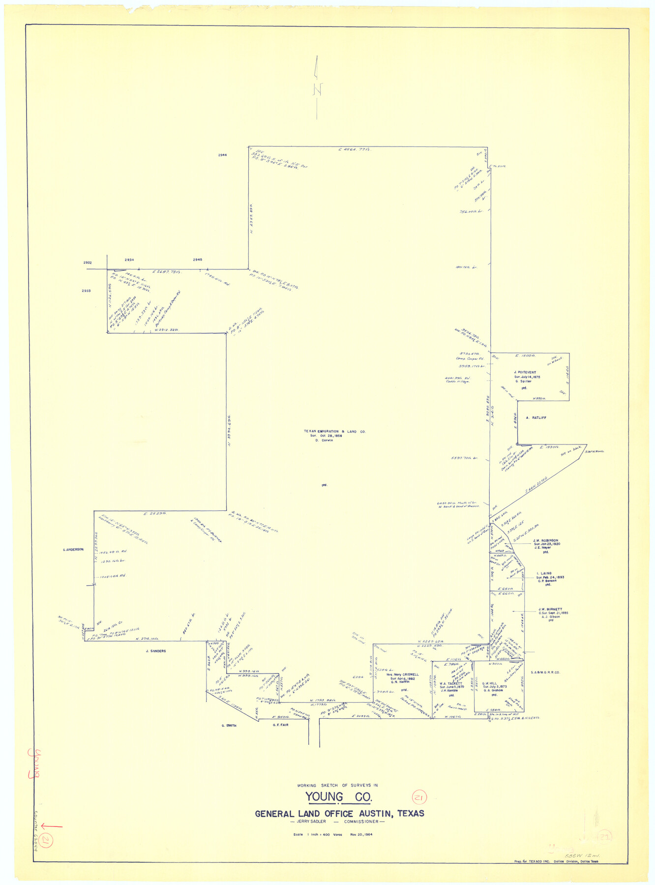
Young County Working Sketch 21
-
Map/Doc
62044
-
Collection
General Map Collection
-
Object Dates
11/20/1964 (Creation Date)
-
Counties
Young
-
Subjects
Surveying Working Sketch
-
Height x Width
42.2 x 31.2 inches
107.2 x 79.3 cm
-
Scale
1" = 400 varas
Part of: General Map Collection
Trinity River, Oliver Crossing Sheet/Chambers Creek

Print $6.00
- Digital $50.00
Trinity River, Oliver Crossing Sheet/Chambers Creek
1931
Size 30.1 x 28.2 inches
Map/Doc 65231
Topographical Map of the Rio Grande, Sheet No. 22

Print $20.00
- Digital $50.00
Topographical Map of the Rio Grande, Sheet No. 22
1912
Map/Doc 89546
Culberson County Rolled Sketch 52

Print $20.00
- Digital $50.00
Culberson County Rolled Sketch 52
1966
Size 19.1 x 24.9 inches
Map/Doc 5671
Crockett County Working Sketch 18

Print $20.00
- Digital $50.00
Crockett County Working Sketch 18
1919
Size 37.4 x 31.8 inches
Map/Doc 68351
Pecos County Rolled Sketch 6

Print $20.00
- Digital $50.00
Pecos County Rolled Sketch 6
Size 43.6 x 31.2 inches
Map/Doc 9680
Matagorda County Rolled Sketch 18

Print $20.00
- Digital $50.00
Matagorda County Rolled Sketch 18
1838
Size 35.7 x 30.8 inches
Map/Doc 6685
Real County Working Sketch 6

Print $20.00
- Digital $50.00
Real County Working Sketch 6
1924
Size 21.2 x 9.3 inches
Map/Doc 71898
Roberts County Working Sketch 22

Print $20.00
- Digital $50.00
Roberts County Working Sketch 22
1978
Size 31.0 x 42.9 inches
Map/Doc 63548
Flight Mission No. DCL-7C, Frame 46, Kenedy County

Print $20.00
- Digital $50.00
Flight Mission No. DCL-7C, Frame 46, Kenedy County
1943
Size 15.4 x 15.3 inches
Map/Doc 86034

Val Verde County Sketch File A1 1/2

Print $20.00
- Digital $50.00
Val Verde County Sketch File A1 1/2
Size 24.8 x 17.3 inches
Map/Doc 12539
Map of section no. 4 of a survey of Padre Island made for the Office of the Attorney General of the State of Texas

Print $40.00
- Digital $50.00
Map of section no. 4 of a survey of Padre Island made for the Office of the Attorney General of the State of Texas
1941
Size 82.6 x 40.8 inches
Map/Doc 2260
You may also like
Presidio County Working Sketch 56

Print $20.00
- Digital $50.00
Presidio County Working Sketch 56
1955
Size 13.9 x 22.0 inches
Map/Doc 71733
Proceedings of The International (Water) Boundary Commission United States and Mexico Treaties of 1884 and 1889, Volume 1

Proceedings of The International (Water) Boundary Commission United States and Mexico Treaties of 1884 and 1889, Volume 1
Map/Doc 83146

[Northwest Portion of King County]
![90978, [Northwest Portion of King County], Twichell Survey Records](https://historictexasmaps.com/wmedia_w700/maps/90978-1.tif.jpg)
Print $20.00
- Digital $50.00
[Northwest Portion of King County]
Size 28.7 x 35.7 inches
Map/Doc 90978
Uvalde County Sketch File 28

Print $10.00
- Digital $50.00
Uvalde County Sketch File 28
1980
Size 14.8 x 8.9 inches
Map/Doc 39023
Loving County Sketch File 3

Print $6.00
- Digital $50.00
Loving County Sketch File 3
1952
Size 11.2 x 8.7 inches
Map/Doc 30409
Clay County Boundary File 1

Print $10.00
- Digital $50.00
Clay County Boundary File 1
Size 8.8 x 11.2 inches
Map/Doc 51356
Bee County Sketch File 29

Print $6.00
- Digital $50.00
Bee County Sketch File 29
1887
Size 14.0 x 8.8 inches
Map/Doc 14338
Val Verde County Working Sketch 2

Print $20.00
- Digital $50.00
Val Verde County Working Sketch 2
Size 27.9 x 23.8 inches
Map/Doc 72137
Palo Pinto County Rolled Sketch 14

Print $20.00
- Digital $50.00
Palo Pinto County Rolled Sketch 14
Size 29.7 x 42.5 inches
Map/Doc 7194
[J. Sherwood and surrounding surveys]
![90977, [J. Sherwood and surrounding surveys], Twichell Survey Records](https://historictexasmaps.com/wmedia_w700/maps/90977-1.tif.jpg)
Print $20.00
- Digital $50.00
[J. Sherwood and surrounding surveys]
Size 24.2 x 18.1 inches
Map/Doc 90977
Zavala County Sketch File 40

Print $20.00
- Digital $50.00
Zavala County Sketch File 40
1901
Size 14.4 x 8.9 inches
Map/Doc 41406