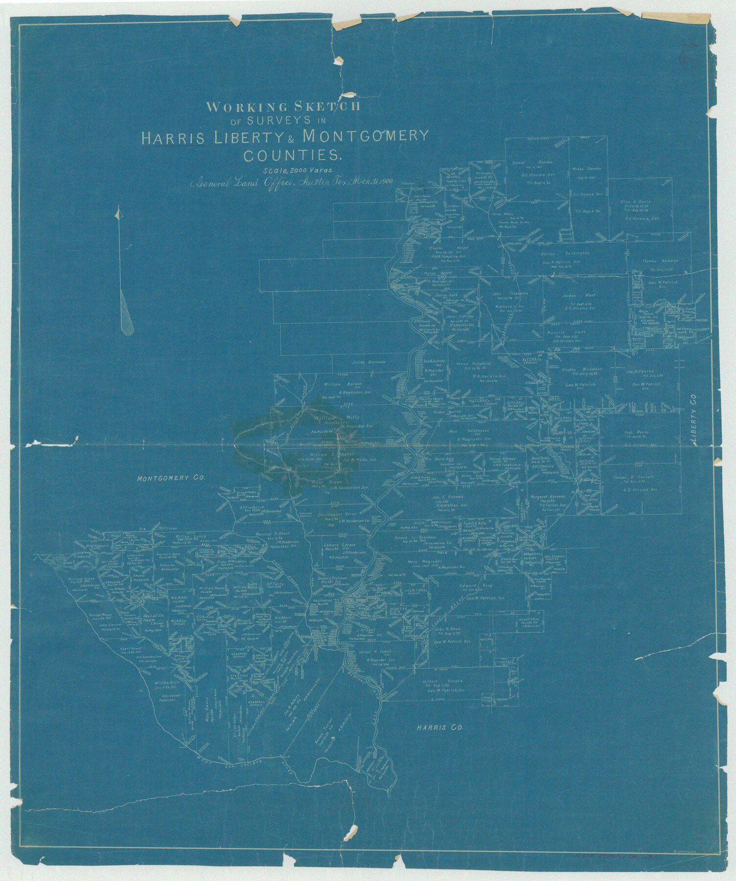
Harris County Working Sketch 7
-
Map/Doc
65899
-
Collection
General Map Collection
-
Object Dates
3/31/1900 (Creation Date)
-
Counties
Harris Liberty Montgomery
-
Subjects
Surveying Working Sketch
-
Height x Width
34.2 x 28.6 inches
86.9 x 72.6 cm
-
Scale
1" = 2000 varas
Part of: General Map Collection
Flight Mission No. CRC-3R, Frame 7, Chambers County

Print $20.00
- Digital $50.00
Flight Mission No. CRC-3R, Frame 7, Chambers County
1956
Size 18.6 x 22.3 inches
Map/Doc 84781
Flight Mission No. CRC-2R, Frame 2, Chambers County

Print $20.00
- Digital $50.00
Flight Mission No. CRC-2R, Frame 2, Chambers County
1956
Size 18.6 x 22.4 inches
Map/Doc 84721
Colorado River, Wharton Sheet

Print $6.00
- Digital $50.00
Colorado River, Wharton Sheet
1941
Size 27.3 x 35.7 inches
Map/Doc 65314
Flight Mission No. BRA-7M, Frame 125, Jefferson County

Print $20.00
- Digital $50.00
Flight Mission No. BRA-7M, Frame 125, Jefferson County
1953
Size 16.3 x 16.1 inches
Map/Doc 85519
Pecos County Boundary File 1

Print $2.00
- Digital $50.00
Pecos County Boundary File 1
Size 10.1 x 8.0 inches
Map/Doc 57854
Right of Way & Track Map, St. Louis, Brownsville & Mexico Ry. operated by St. Louis, Brownsville & Mexico Ry. Co.

Print $40.00
- Digital $50.00
Right of Way & Track Map, St. Louis, Brownsville & Mexico Ry. operated by St. Louis, Brownsville & Mexico Ry. Co.
1919
Size 25.2 x 57.1 inches
Map/Doc 64613
Brazos River, Clemens State Farm Sheet

Print $20.00
- Digital $50.00
Brazos River, Clemens State Farm Sheet
1915
Size 37.5 x 34.6 inches
Map/Doc 69673
Map of Concho County

Print $20.00
- Digital $50.00
Map of Concho County
1897
Size 47.0 x 39.5 inches
Map/Doc 4733
Uvalde County

Print $20.00
- Digital $50.00
Uvalde County
1976
Size 42.0 x 45.4 inches
Map/Doc 77444
Real County Sketch File 19

Print $22.00
- Digital $50.00
Real County Sketch File 19
1967
Size 11.5 x 9.0 inches
Map/Doc 35080
El Paso County Sketch File 12

Print $22.00
- Digital $50.00
El Paso County Sketch File 12
1887
Size 8.1 x 5.9 inches
Map/Doc 22004
Hutchinson County Rolled Sketch 40

Print $20.00
- Digital $50.00
Hutchinson County Rolled Sketch 40
1981
Size 26.5 x 37.5 inches
Map/Doc 6306
You may also like
[Railroad Map of Falfurias to Hidalgo, Hidalgo County]
![89422, [Railroad Map of Falfurias to Hidalgo, Hidalgo County], Barnes Railroad Collection](https://historictexasmaps.com/wmedia_w700/maps/89422-1.tif.jpg)
Print $40.00
- Digital $50.00
[Railroad Map of Falfurias to Hidalgo, Hidalgo County]
Size 25.0 x 146.5 inches
Map/Doc 89422
[Blocks R31E-R34E Township 11-13]
![92039, [Blocks R31E-R34E Township 11-13], Twichell Survey Records](https://historictexasmaps.com/wmedia_w700/maps/92039-1.tif.jpg)
Print $20.00
- Digital $50.00
[Blocks R31E-R34E Township 11-13]
Size 21.7 x 16.7 inches
Map/Doc 92039
The Republic County of San Augustine. Boundaries Defined, December 14, 1837

Print $20.00
The Republic County of San Augustine. Boundaries Defined, December 14, 1837
2020
Size 18.8 x 21.7 inches
Map/Doc 96271
[Pencil sketch and calculations regarding section 34, Block 194]
![91663, [Pencil sketch and calculations regarding section 34, Block 194], Twichell Survey Records](https://historictexasmaps.com/wmedia_w700/maps/91663-1.tif.jpg)
Print $20.00
- Digital $50.00
[Pencil sketch and calculations regarding section 34, Block 194]
Size 23.0 x 12.1 inches
Map/Doc 91663
Burnet County Working Sketch 22

Print $40.00
- Digital $50.00
Burnet County Working Sketch 22
1986
Size 40.5 x 50.9 inches
Map/Doc 67865
McMullen County Working Sketch 13

Print $20.00
- Digital $50.00
McMullen County Working Sketch 13
1938
Size 27.2 x 21.6 inches
Map/Doc 70714
[G. H. & H. RR. Co. Block 5 and surrounding surveys]
![90877, [G. H. & H. RR. Co. Block 5 and surrounding surveys], Twichell Survey Records](https://historictexasmaps.com/wmedia_w700/maps/90877-2.tif.jpg)
Print $20.00
- Digital $50.00
[G. H. & H. RR. Co. Block 5 and surrounding surveys]
1901
Size 28.0 x 15.2 inches
Map/Doc 90877
Limestone County Working Sketch 5

Print $20.00
- Digital $50.00
Limestone County Working Sketch 5
1922
Size 21.2 x 28.9 inches
Map/Doc 70555
Runnels County Working Sketch Graphic Index

Print $20.00
- Digital $50.00
Runnels County Working Sketch Graphic Index
1948
Size 46.8 x 36.9 inches
Map/Doc 76687
Culberson County Working Sketch 62

Print $20.00
- Digital $50.00
Culberson County Working Sketch 62
1975
Size 32.2 x 24.6 inches
Map/Doc 68516
Coleman County Sketch File 20

Print $4.00
- Digital $50.00
Coleman County Sketch File 20
1871
Size 12.9 x 8.0 inches
Map/Doc 18694
Prison Property, Walker County

Print $20.00
- Digital $50.00
Prison Property, Walker County
Size 16.3 x 15.9 inches
Map/Doc 94280