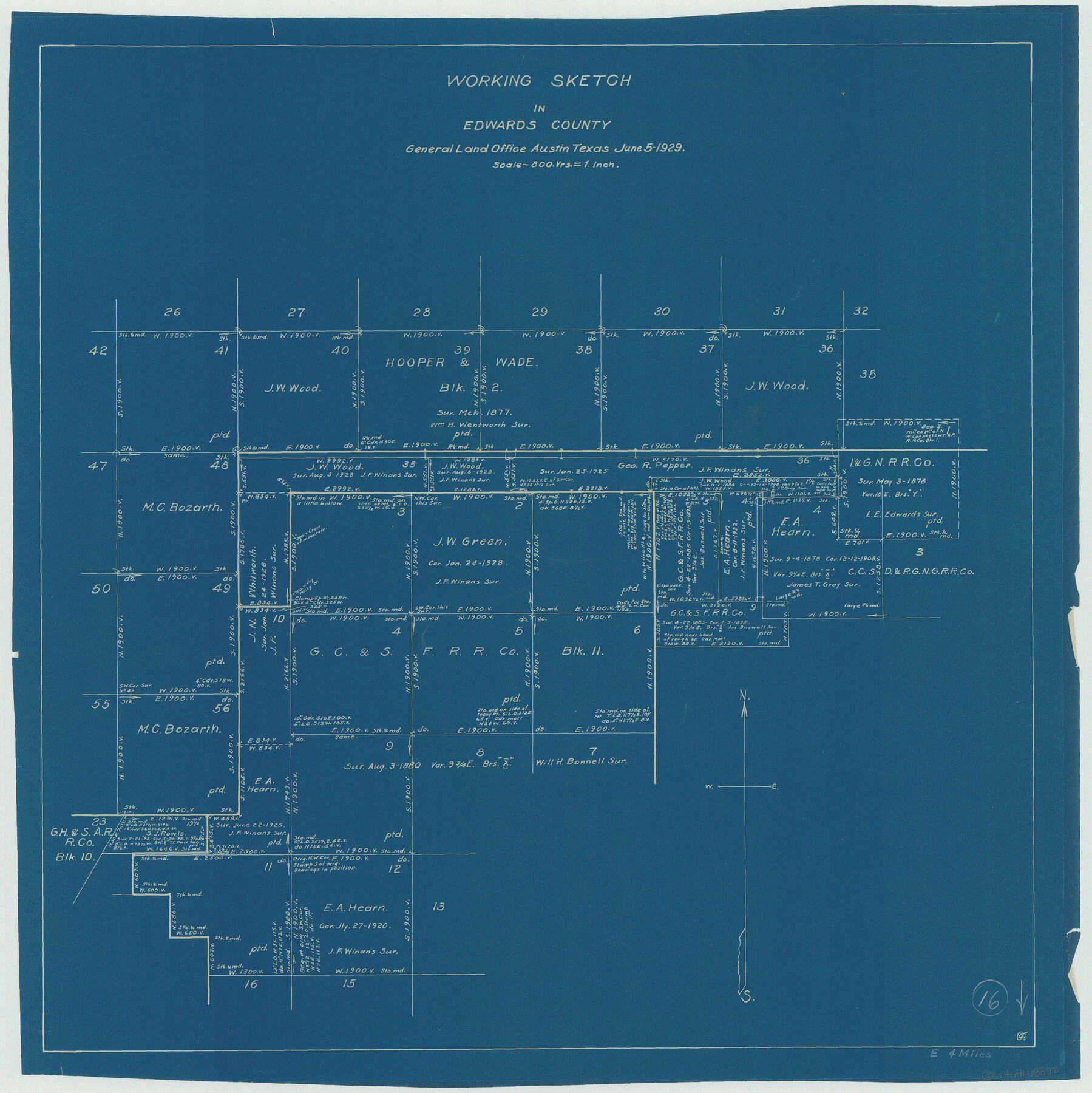
Edwards County Working Sketch 16
-
Map/Doc
68892
-
Collection
General Map Collection
-
Object Dates
6/5/1929 (Creation Date)
-
Counties
Edwards
-
Subjects
Surveying Working Sketch
-
Height x Width
21.5 x 21.5 inches
54.6 x 54.6 cm
-
Scale
1" = 800 varas
Part of: General Map Collection
Bowie County Working Sketch 26

Print $20.00
- Digital $50.00
Bowie County Working Sketch 26
1980
Size 29.1 x 24.7 inches
Map/Doc 67430
Intracoastal Waterway in Texas - Corpus Christi to Point Isabel including Arroyo Colorado to Mo. Pac. R.R. Bridge Near Harlingen

Print $20.00
- Digital $50.00
Intracoastal Waterway in Texas - Corpus Christi to Point Isabel including Arroyo Colorado to Mo. Pac. R.R. Bridge Near Harlingen
1933
Size 28.0 x 41.0 inches
Map/Doc 61875
Township No. 4 South Range No. 14 West of the Indian Meridian

Print $4.00
- Digital $50.00
Township No. 4 South Range No. 14 West of the Indian Meridian
1875
Size 18.0 x 22.4 inches
Map/Doc 75144
Fayette County Working Sketch 10

Print $20.00
- Digital $50.00
Fayette County Working Sketch 10
1985
Size 27.1 x 38.5 inches
Map/Doc 69174
Val Verde County Working Sketch 77

Print $20.00
- Digital $50.00
Val Verde County Working Sketch 77
1972
Size 45.9 x 38.5 inches
Map/Doc 72212
Montague County Sketch File 10

Print $4.00
- Digital $50.00
Montague County Sketch File 10
1873
Size 7.9 x 11.8 inches
Map/Doc 31732
Goliad County Sketch File 41a

Print $4.00
- Digital $50.00
Goliad County Sketch File 41a
1958
Size 11.3 x 8.8 inches
Map/Doc 24347
Floyd County Sketch File 6

Print $2.00
- Digital $50.00
Floyd County Sketch File 6
Size 9.1 x 14.4 inches
Map/Doc 22696
Crockett County Sketch File 51a

Print $10.00
- Digital $50.00
Crockett County Sketch File 51a
1922
Size 14.3 x 8.8 inches
Map/Doc 19812
Potter County Rolled Sketch 11

Print $20.00
- Digital $50.00
Potter County Rolled Sketch 11
1986
Size 21.6 x 27.4 inches
Map/Doc 7324
Reagan County Sketch File 28

Print $20.00
- Digital $50.00
Reagan County Sketch File 28
1951
Size 29.6 x 21.7 inches
Map/Doc 12224
Newton County Rolled Sketch 21

Print $40.00
- Digital $50.00
Newton County Rolled Sketch 21
1957
Size 29.9 x 52.5 inches
Map/Doc 9582
You may also like
Red River, Bois D'Arc Creek Floodway Sheet No. 3

Print $20.00
- Digital $50.00
Red River, Bois D'Arc Creek Floodway Sheet No. 3
1917
Size 28.8 x 22.0 inches
Map/Doc 69658
Texas showing counties, cities, towns, villages and post offices, railways with stations and distances between stations

Print $40.00
- Digital $50.00
Texas showing counties, cities, towns, villages and post offices, railways with stations and distances between stations
1940
Size 45.6 x 49.4 inches
Map/Doc 4335
Calhoun County Rolled Sketch 30

Print $20.00
- Digital $50.00
Calhoun County Rolled Sketch 30
1974
Size 18.5 x 27.6 inches
Map/Doc 5490
Railroad Track Map, H&TCRRCo., Falls County, Texas

Print $4.00
- Digital $50.00
Railroad Track Map, H&TCRRCo., Falls County, Texas
1918
Size 11.4 x 18.7 inches
Map/Doc 62849
Robertson County Sketch File 5

Print $6.00
Robertson County Sketch File 5
1863
Size 12.0 x 9.0 inches
Map/Doc 35358
Pecos County Boundary File 1c

Print $12.00
- Digital $50.00
Pecos County Boundary File 1c
Size 14.2 x 8.5 inches
Map/Doc 57865
Atascosa County Rolled Sketch 23

Print $20.00
- Digital $50.00
Atascosa County Rolled Sketch 23
1940
Size 36.4 x 24.3 inches
Map/Doc 5102
Van Zandt County

Print $20.00
- Digital $50.00
Van Zandt County
1921
Size 45.5 x 41.0 inches
Map/Doc 16914
A New Chart of the World on Mercator's Projection: Exhibiting the Tracks & Discoveries of the most Eminent Navigators, to the Present Period

Print $20.00
- Digital $50.00
A New Chart of the World on Mercator's Projection: Exhibiting the Tracks & Discoveries of the most Eminent Navigators, to the Present Period
1801
Size 20.0 x 22.4 inches
Map/Doc 97249
Dawson County

Print $20.00
- Digital $50.00
Dawson County
1932
Size 47.1 x 40.9 inches
Map/Doc 66799
Hudspeth County Sketch File 36

Print $12.00
- Digital $50.00
Hudspeth County Sketch File 36
1901
Size 10.5 x 8.2 inches
Map/Doc 27003
Cherokee County Sketch File 22b

Print $20.00
- Digital $50.00
Cherokee County Sketch File 22b
1906
Size 15.5 x 14.0 inches
Map/Doc 82019