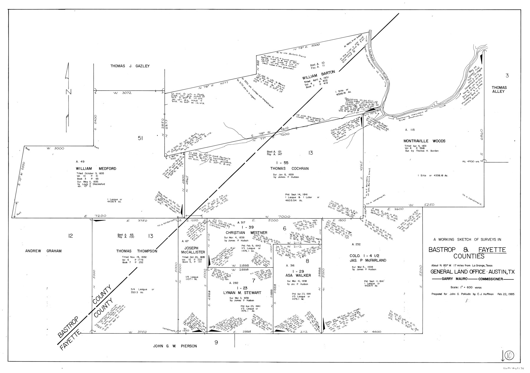
Fayette County Working Sketch 10
-
Map/Doc
69174
-
Collection
General Map Collection
-
Object Dates
2/22/1985 (Creation Date)
-
People and Organizations
Huffman, Cynthia J. (Draftsman)
-
Counties
Fayette Bastrop
-
Subjects
Surveying Working Sketch
-
Height x Width
27.1 x 38.5 inches
68.8 x 97.8 cm
-
Scale
1" = 600 varas
Part of: General Map Collection
Flight Mission No. CRE-2R, Frame 159, Jackson County

Print $20.00
- Digital $50.00
Flight Mission No. CRE-2R, Frame 159, Jackson County
1956
Size 18.5 x 22.2 inches
Map/Doc 85370
Cameron County Rolled Sketch 24

Print $40.00
- Digital $50.00
Cameron County Rolled Sketch 24
1968
Size 30.4 x 66.7 inches
Map/Doc 8574
Ward County Rolled Sketch 16

Print $20.00
- Digital $50.00
Ward County Rolled Sketch 16
1942
Size 30.5 x 21.7 inches
Map/Doc 8159
Gulf of Mexico

Print $20.00
- Digital $50.00
Gulf of Mexico
1900
Size 18.3 x 28.1 inches
Map/Doc 72650
Ellis County Sketch File 19

Print $6.00
- Digital $50.00
Ellis County Sketch File 19
1863
Size 12.4 x 7.8 inches
Map/Doc 21866
Briscoe County Sketch File 6

Print $40.00
- Digital $50.00
Briscoe County Sketch File 6
Size 29.8 x 24.6 inches
Map/Doc 10995
Kerr County Boundary File 4a

Print $16.00
- Digital $50.00
Kerr County Boundary File 4a
Size 6.1 x 8.2 inches
Map/Doc 64801
Presidio County Rolled Sketch 30

Print $40.00
- Digital $50.00
Presidio County Rolled Sketch 30
Size 40.8 x 84.9 inches
Map/Doc 9767
Supreme Court of the United States, October Term, 1923, No. 15, Original - The State of Oklahoma, Complainant vs. The State of Texas, Defendant, The United States, Intervener; Report of the Boundary Commissioners

Print $20.00
- Digital $50.00
Supreme Court of the United States, October Term, 1923, No. 15, Original - The State of Oklahoma, Complainant vs. The State of Texas, Defendant, The United States, Intervener; Report of the Boundary Commissioners
1923
Size 39.4 x 39.6 inches
Map/Doc 75116
McCulloch County Sketch File 1

Print $4.00
- Digital $50.00
McCulloch County Sketch File 1
1854
Size 8.7 x 6.8 inches
Map/Doc 31165
Childress County Working Sketch 6

Print $20.00
- Digital $50.00
Childress County Working Sketch 6
1954
Size 19.1 x 24.3 inches
Map/Doc 68022
Polk County Working Sketch 26

Print $20.00
- Digital $50.00
Polk County Working Sketch 26
1958
Size 19.0 x 24.8 inches
Map/Doc 71642
You may also like
The Chief Justice County of San Patricio. Lands in Conflict with Bexar County

Print $20.00
The Chief Justice County of San Patricio. Lands in Conflict with Bexar County
2020
Size 20.0 x 21.7 inches
Map/Doc 96073
Map of the State of Texas

Print $40.00
- Digital $50.00
Map of the State of Texas
1879
Size 102.7 x 106.6 inches
Map/Doc 16973
[Blocks 3, Q, and Vicinity]
![91276, [Blocks 3, Q, and Vicinity], Twichell Survey Records](https://historictexasmaps.com/wmedia_w700/maps/91276.tif.jpg)
Print $20.00
- Digital $50.00
[Blocks 3, Q, and Vicinity]
Size 19.1 x 9.2 inches
Map/Doc 91276
Texas Official Highway Travel Map

Digital $50.00
Texas Official Highway Travel Map
Size 27.1 x 36.2 inches
Map/Doc 94311
[Texas Boundary Line]
![92070, [Texas Boundary Line], Twichell Survey Records](https://historictexasmaps.com/wmedia_w700/maps/92070-1.tif.jpg)
Print $20.00
- Digital $50.00
[Texas Boundary Line]
Size 21.5 x 12.0 inches
Map/Doc 92070


Territory of New Mexico

Print $20.00
- Digital $50.00
Territory of New Mexico
1903
Size 23.8 x 19.6 inches
Map/Doc 82011
General Land Office and State Reclamation Department - Topographic Sheets

Print $20.00
- Digital $50.00
General Land Office and State Reclamation Department - Topographic Sheets
1930
Size 26.2 x 16.7 inches
Map/Doc 65264
[E.L.R.R.R.R.Co. Blocks A-1, 1, H, Y, Public School Land Blocks C-40, C-41, C-39, C-42]
![92904, [E.L.R.R.R.R.Co. Blocks A-1, 1, H, Y, Public School Land Blocks C-40, C-41, C-39, C-42], Twichell Survey Records](https://historictexasmaps.com/wmedia_w700/maps/92904-1.tif.jpg)
Print $20.00
- Digital $50.00
[E.L.R.R.R.R.Co. Blocks A-1, 1, H, Y, Public School Land Blocks C-40, C-41, C-39, C-42]
Size 21.6 x 21.2 inches
Map/Doc 92904
Kinney County Working Sketch 46

Print $20.00
- Digital $50.00
Kinney County Working Sketch 46
1978
Size 44.3 x 35.1 inches
Map/Doc 70228
McLennan County Working Sketch 6

Print $20.00
- Digital $50.00
McLennan County Working Sketch 6
1957
Size 26.7 x 24.8 inches
Map/Doc 70699