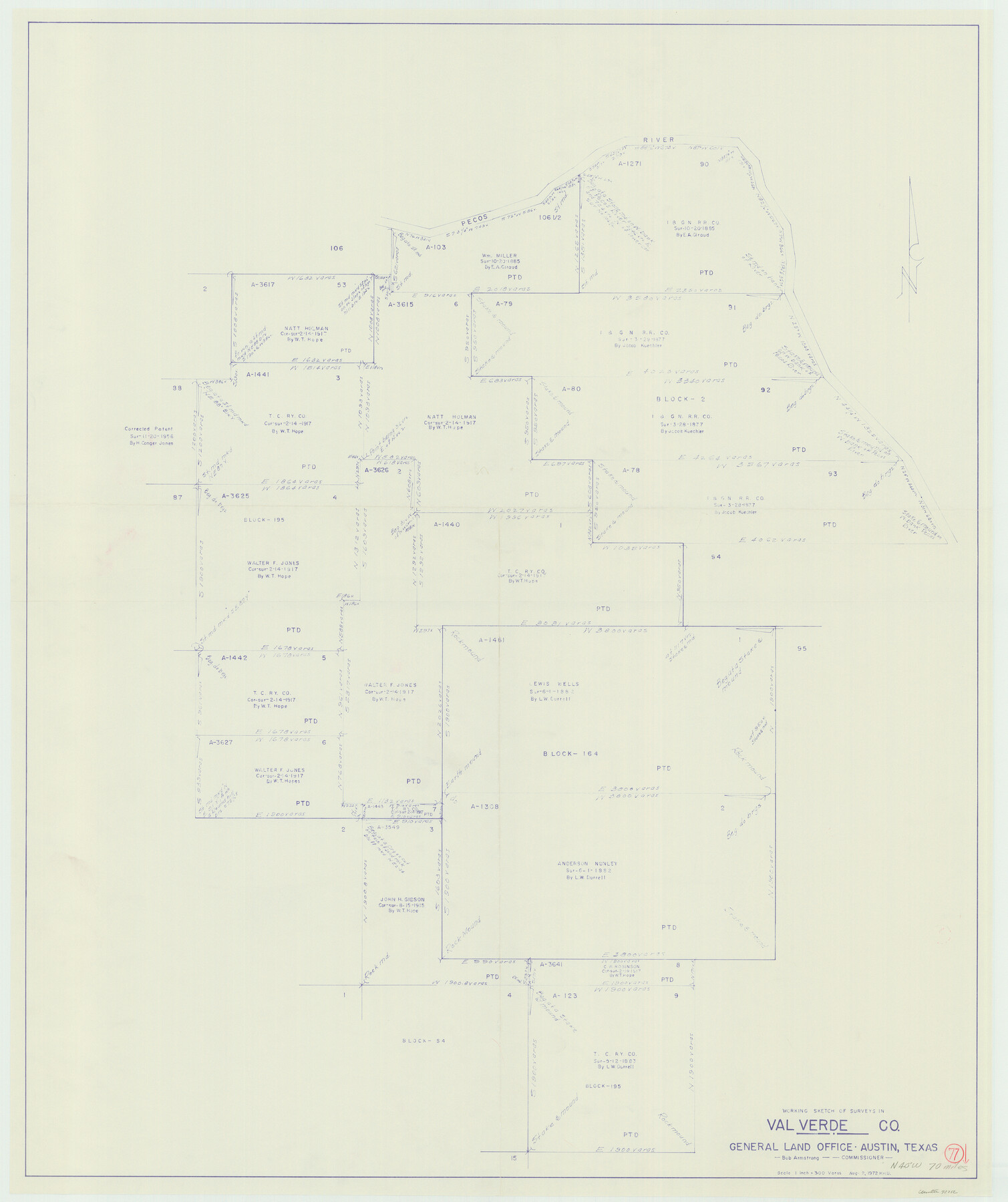
Val Verde County Working Sketch 77
-
Map/Doc
72212
-
Collection
General Map Collection
-
Object Dates
8/2/1972 (Creation Date)
-
People and Organizations
Herbert H. Ulbricht (Draftsman)
-
Counties
Val Verde
-
Subjects
Surveying Working Sketch
-
Height x Width
45.9 x 38.5 inches
116.6 x 97.8 cm
-
Scale
1" = 300 varas
Part of: General Map Collection
Panola County Sketch File 10

Print $4.00
- Digital $50.00
Panola County Sketch File 10
Size 8.0 x 10.0 inches
Map/Doc 33465
Trinity County Sketch File 39

Print $20.00
- Digital $50.00
Trinity County Sketch File 39
1959
Size 26.8 x 23.4 inches
Map/Doc 12493
Ector County Rolled Sketch RE

Print $20.00
- Digital $50.00
Ector County Rolled Sketch RE
1928
Size 41.2 x 38.7 inches
Map/Doc 8833
Kerr County Working Sketch 14

Print $20.00
- Digital $50.00
Kerr County Working Sketch 14
1952
Size 26.5 x 24.5 inches
Map/Doc 70045
Gillespie County Working Sketch 14

Print $20.00
- Digital $50.00
Gillespie County Working Sketch 14
2011
Size 36.6 x 36.6 inches
Map/Doc 90096
Hudspeth County Rolled Sketch 23

Print $40.00
- Digital $50.00
Hudspeth County Rolled Sketch 23
Size 43.7 x 70.3 inches
Map/Doc 9207

Matagorda County Sketch File 33

Print $6.00
- Digital $50.00
Matagorda County Sketch File 33
1938
Size 14.2 x 8.8 inches
Map/Doc 30817
Hudspeth County Rolled Sketch 40

Print $20.00
- Digital $50.00
Hudspeth County Rolled Sketch 40
1937
Size 11.5 x 38.9 inches
Map/Doc 9213
Houston County Sketch File 7

Print $6.00
- Digital $50.00
Houston County Sketch File 7
1861
Size 12.0 x 11.1 inches
Map/Doc 26764
Crockett County Sketch File 17

Print $10.00
- Digital $50.00
Crockett County Sketch File 17
1881
Size 12.7 x 8.0 inches
Map/Doc 19678
Jack County Working Sketch 19

Print $20.00
- Digital $50.00
Jack County Working Sketch 19
1989
Size 21.5 x 29.4 inches
Map/Doc 66445
You may also like
Flight Mission No. BRA-7M, Frame 131, Jefferson County

Print $20.00
- Digital $50.00
Flight Mission No. BRA-7M, Frame 131, Jefferson County
1953
Size 16.2 x 16.0 inches
Map/Doc 85525
Refugio County

Print $20.00
- Digital $50.00
Refugio County
1883
Size 20.1 x 28.9 inches
Map/Doc 3984
Liberty County Sketch File 12

Print $6.00
- Digital $50.00
Liberty County Sketch File 12
1858
Size 9.6 x 12.5 inches
Map/Doc 29907
General Highway Map, Gonzales County, Texas

Print $20.00
General Highway Map, Gonzales County, Texas
1940
Size 18.6 x 25.0 inches
Map/Doc 79102
Duval County Sketch File 58

Print $20.00
- Digital $50.00
Duval County Sketch File 58
1940
Size 18.3 x 19.0 inches
Map/Doc 11406
General Highway Map, Irion County, Texas

Print $20.00
General Highway Map, Irion County, Texas
1961
Size 18.2 x 24.5 inches
Map/Doc 79531
Dallas County Working Sketch 10

Print $20.00
- Digital $50.00
Dallas County Working Sketch 10
1971
Size 22.6 x 22.7 inches
Map/Doc 68576
Gray County Working Sketch 6

Print $20.00
- Digital $50.00
Gray County Working Sketch 6
1960
Size 28.8 x 23.2 inches
Map/Doc 63237
Sketch Showing Reed and Meeker Vacancy, Cochran County, Texas

Print $20.00
- Digital $50.00
Sketch Showing Reed and Meeker Vacancy, Cochran County, Texas
Size 28.9 x 20.3 inches
Map/Doc 92514
City of San Antonio, Texas

Print $20.00
City of San Antonio, Texas
1889
Size 34.2 x 34.1 inches
Map/Doc 76187
[Sketch of sections 33 and 34]
![91575, [Sketch of sections 33 and 34], Twichell Survey Records](https://historictexasmaps.com/wmedia_w700/maps/91575-1.tif.jpg)
Print $2.00
- Digital $50.00
[Sketch of sections 33 and 34]
Size 5.0 x 8.7 inches
Map/Doc 91575
Flight Mission No. BRE-3P, Frame 37, Nueces County

Print $20.00
- Digital $50.00
Flight Mission No. BRE-3P, Frame 37, Nueces County
1956
Size 18.4 x 22.4 inches
Map/Doc 86815