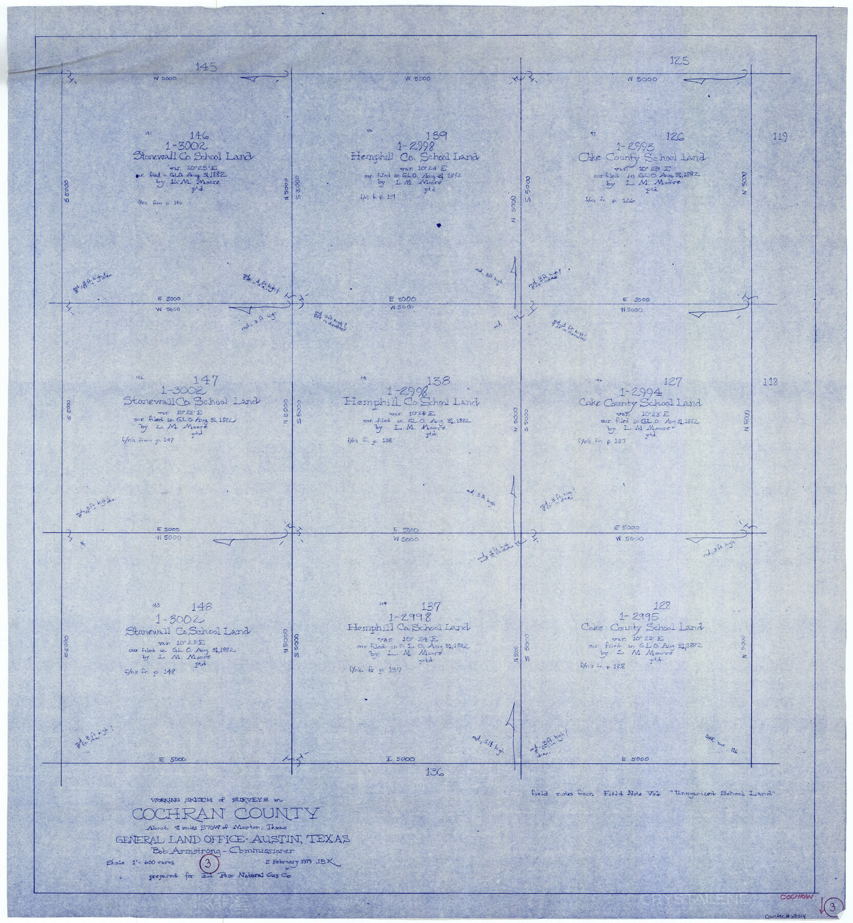
Cochran County Working Sketch 3
-
Map/Doc
68014
-
Collection
General Map Collection
-
Object Dates
2/2/1979 (Creation Date)
-
People and Organizations
Joan Kilpatrick (Draftsman)
-
Counties
Cochran
-
Subjects
Surveying Working Sketch
-
Height x Width
33.4 x 30.9 inches
84.8 x 78.5 cm
-
Scale
1" = 600 varas
Part of: General Map Collection
Bandera County Working Sketch 49

Print $20.00
- Digital $50.00
Bandera County Working Sketch 49
1983
Size 28.2 x 43.3 inches
Map/Doc 67645
Bexar County Sketch File 29

Print $40.00
- Digital $50.00
Bexar County Sketch File 29
Size 11.3 x 36.7 inches
Map/Doc 10919
Victoria County Working Sketch 9

Print $40.00
- Digital $50.00
Victoria County Working Sketch 9
1963
Size 49.7 x 31.8 inches
Map/Doc 69763
Upton County Sketch File 4

Print $40.00
- Digital $50.00
Upton County Sketch File 4
1886
Size 19.5 x 9.0 inches
Map/Doc 12510
Jackson County Rolled Sketch 15

Print $40.00
- Digital $50.00
Jackson County Rolled Sketch 15
1945
Size 53.7 x 30.3 inches
Map/Doc 9261
Eastland County Rolled Sketch 23

Print $20.00
- Digital $50.00
Eastland County Rolled Sketch 23
1982
Size 44.3 x 43.3 inches
Map/Doc 8829
Milam County Working Sketch 4

Print $20.00
- Digital $50.00
Milam County Working Sketch 4
1954
Size 26.1 x 32.4 inches
Map/Doc 71019
Webb County Sketch File 69

Print $6.00
- Digital $50.00
Webb County Sketch File 69
1975
Size 15.1 x 9.9 inches
Map/Doc 39873
Flight Mission No. BQR-7K, Frame 31, Brazoria County

Print $20.00
- Digital $50.00
Flight Mission No. BQR-7K, Frame 31, Brazoria County
1952
Size 18.6 x 22.1 inches
Map/Doc 84029

Frio County Rolled Sketch 13

Print $20.00
- Digital $50.00
Frio County Rolled Sketch 13
1949
Size 36.8 x 26.7 inches
Map/Doc 5920

You may also like
Garza County Sketch File C1

Print $10.00
- Digital $50.00
Garza County Sketch File C1
1900
Size 12.9 x 8.1 inches
Map/Doc 24015
[D. & P. Blk. G6 in SE Armstrong and SW Donley Counties]
![90269, [D. & P. Blk. G6 in SE Armstrong and SW Donley Counties], Twichell Survey Records](https://historictexasmaps.com/wmedia_w700/maps/90269-1.tif.jpg)
Print $3.00
- Digital $50.00
[D. & P. Blk. G6 in SE Armstrong and SW Donley Counties]
Size 11.7 x 9.4 inches
Map/Doc 90269
Gillespie County Sketch File 15

Print $20.00
- Digital $50.00
Gillespie County Sketch File 15
1847
Size 17.7 x 19.3 inches
Map/Doc 11556

Flight Mission No. DAG-23K, Frame 59, Matagorda County

Print $20.00
- Digital $50.00
Flight Mission No. DAG-23K, Frame 59, Matagorda County
1953
Size 18.5 x 22.3 inches
Map/Doc 86486
Flight Mission No. BRA-7M, Frame 202, Jefferson County

Print $20.00
- Digital $50.00
Flight Mission No. BRA-7M, Frame 202, Jefferson County
1953
Size 18.6 x 22.3 inches
Map/Doc 85570
Map of part of Waller County

Print $20.00
- Digital $50.00
Map of part of Waller County
Size 16.3 x 13.5 inches
Map/Doc 685
North Part of El Paso Co.

Print $20.00
- Digital $50.00
North Part of El Paso Co.
1977
Size 36.5 x 47.8 inches
Map/Doc 95490
Live Oak County Working Sketch Graphic Index

Print $40.00
- Digital $50.00
Live Oak County Working Sketch Graphic Index
1947
Size 53.7 x 39.4 inches
Map/Doc 76623
San Augustine County School Land for sale by Lubbock Irrigation Company

Print $20.00
- Digital $50.00
San Augustine County School Land for sale by Lubbock Irrigation Company
Size 23.4 x 24.8 inches
Map/Doc 92826
Henderson County Working Sketch 28

Print $20.00
- Digital $50.00
Henderson County Working Sketch 28
1955
Size 27.3 x 24.9 inches
Map/Doc 66161
Garden City Townsite, Section 5, Range 4 South, Block 33

Print $2.00
- Digital $50.00
Garden City Townsite, Section 5, Range 4 South, Block 33
1886
Size 9.0 x 15.4 inches
Map/Doc 90763