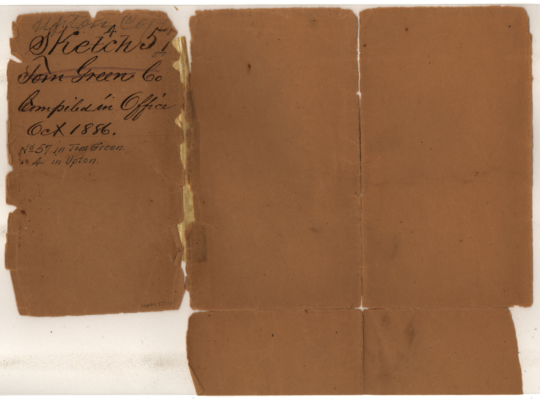
Upton County Sketch File 4
[Office sketch to locate survey 1947 south of T. C. Ry. Co. Block M in Reagan County]
-
Map/Doc
12510
-
Collection
General Map Collection
-
Object Dates
10/1886 (Creation Date)
-
Counties
Reagan
-
Subjects
Surveying Sketch File
-
Height x Width
19.5 x 9.0 inches
49.5 x 22.9 cm
-
Medium
paper, manuscript
-
Comments
Sketch actually shows surveys in Reagan County.
Part of: General Map Collection
Reagan County Rolled Sketch 32

Print $20.00
- Digital $50.00
Reagan County Rolled Sketch 32
Size 46.3 x 38.5 inches
Map/Doc 9827
Refugio County Working Sketch 17

Print $20.00
- Digital $50.00
Refugio County Working Sketch 17
1980
Size 17.7 x 30.1 inches
Map/Doc 63526
Houston Ship Channel, Alexander Island to Carpenter Bayou

Print $40.00
- Digital $50.00
Houston Ship Channel, Alexander Island to Carpenter Bayou
1989
Size 35.5 x 49.4 inches
Map/Doc 69916
Foard County Working Sketch 11

Print $20.00
- Digital $50.00
Foard County Working Sketch 11
1977
Size 26.7 x 35.6 inches
Map/Doc 69202
Map of the 1st, 2nd and 3rd Sections of Houston & Texas Central Railroad

Print $40.00
- Digital $50.00
Map of the 1st, 2nd and 3rd Sections of Houston & Texas Central Railroad
Size 30.7 x 64.6 inches
Map/Doc 64478
Hardeman County Sketch File 13

Print $20.00
- Digital $50.00
Hardeman County Sketch File 13
Size 26.3 x 23.7 inches
Map/Doc 11625
Geographical, Statistical, and Historical Map of the District of Columbia

Print $20.00
- Digital $50.00
Geographical, Statistical, and Historical Map of the District of Columbia
Size 18.0 x 22.4 inches
Map/Doc 97102
Flight Mission No. BRA-7M, Frame 128, Jefferson County

Print $20.00
- Digital $50.00
Flight Mission No. BRA-7M, Frame 128, Jefferson County
1953
Size 18.8 x 22.5 inches
Map/Doc 85522
Flight Mission No. BRE-1P, Frame 44, Nueces County

Print $20.00
- Digital $50.00
Flight Mission No. BRE-1P, Frame 44, Nueces County
1956
Size 18.3 x 22.1 inches
Map/Doc 86633
[Surveys along Mud Creek, Nacogdoches District]
![250, [Surveys along Mud Creek, Nacogdoches District], General Map Collection](https://historictexasmaps.com/wmedia_w700/maps/250.tif.jpg)
Print $2.00
- Digital $50.00
[Surveys along Mud Creek, Nacogdoches District]
Size 7.7 x 8.1 inches
Map/Doc 250
Brazoria County Rolled Sketch 45

Print $4.00
- Digital $50.00
Brazoria County Rolled Sketch 45
1885
Size 23.0 x 28.5 inches
Map/Doc 5179
Ward County Working Sketch 30

Print $40.00
- Digital $50.00
Ward County Working Sketch 30
1964
Size 118.5 x 43.4 inches
Map/Doc 72336
You may also like
The Judicial District/County of Madison. Created, February 2, 1842

Print $20.00
The Judicial District/County of Madison. Created, February 2, 1842
2020
Size 18.2 x 21.7 inches
Map/Doc 96333
[Blocks H, Z, Rodriguez League, and vicinity]
![91174, [Blocks H, Z, Rodriguez League, and vicinity], Twichell Survey Records](https://historictexasmaps.com/wmedia_w700/maps/91174-1.tif.jpg)
Print $20.00
- Digital $50.00
[Blocks H, Z, Rodriguez League, and vicinity]
Size 20.5 x 26.1 inches
Map/Doc 91174
Panola County Sketch File 28

Print $20.00
- Digital $50.00
Panola County Sketch File 28
1859
Size 22.8 x 22.2 inches
Map/Doc 12142
Van Zandt County Sketch File A45

Print $40.00
- Digital $50.00
Van Zandt County Sketch File A45
Size 14.2 x 13.7 inches
Map/Doc 39501
Montague County Rolled Sketch 9

Print $20.00
- Digital $50.00
Montague County Rolled Sketch 9
Size 29.1 x 39.4 inches
Map/Doc 6793
Goliad County Working Sketch 17

Print $20.00
- Digital $50.00
Goliad County Working Sketch 17
1949
Size 21.8 x 22.2 inches
Map/Doc 63207
Kerr County Working Sketch 23

Print $20.00
- Digital $50.00
Kerr County Working Sketch 23
1966
Size 33.4 x 41.0 inches
Map/Doc 70054
South Part Pecos County

Print $20.00
- Digital $50.00
South Part Pecos County
1976
Size 37.9 x 45.3 inches
Map/Doc 95613

Newton County Working Sketch 14

Print $20.00
- Digital $50.00
Newton County Working Sketch 14
1947
Size 22.3 x 21.9 inches
Map/Doc 71260
Webb County Working Sketch 62

Print $20.00
- Digital $50.00
Webb County Working Sketch 62
1962
Size 24.8 x 29.9 inches
Map/Doc 72428
Harris County Working Sketch 92

Print $40.00
- Digital $50.00
Harris County Working Sketch 92
1974
Size 31.7 x 55.4 inches
Map/Doc 65984