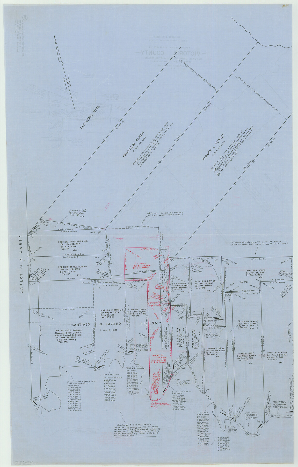
Victoria County Working Sketch 9
-
Map/Doc
69763
-
Collection
General Map Collection
-
Object Dates
5/7/1963 (Creation Date)
-
People and Organizations
Roy Buckholts (Draftsman)
-
Counties
Victoria
-
Subjects
Surveying Working Sketch
-
Height x Width
49.7 x 31.8 inches
126.2 x 80.8 cm
-
Scale
1" = 400 varas
-
Comments
Segment 1, for segment 2 see map 72279.
Related maps
Victoria County Working Sketch 9

Print $40.00
- Digital $50.00
Victoria County Working Sketch 9
1963
Size 49.9 x 35.8 inches
Map/Doc 72279
Part of: General Map Collection
Trinity River, Dallas Elevation Sheet

Print $20.00
- Digital $50.00
Trinity River, Dallas Elevation Sheet
1913
Size 26.6 x 24.1 inches
Map/Doc 65258
Calhoun County Boundary File 5

Print $10.00
- Digital $50.00
Calhoun County Boundary File 5
Size 14.2 x 8.8 inches
Map/Doc 51009
Panola County Sketch File 18

Print $20.00
- Digital $50.00
Panola County Sketch File 18
1909
Size 24.2 x 18.7 inches
Map/Doc 12138
Pecos County Working Sketch 10

Print $20.00
- Digital $50.00
Pecos County Working Sketch 10
1907
Size 25.9 x 23.9 inches
Map/Doc 71480
Navarro County Working Sketch 15

Print $20.00
- Digital $50.00
Navarro County Working Sketch 15
1993
Size 16.1 x 17.8 inches
Map/Doc 71245
Nolan County Sketch File 17

Print $6.00
- Digital $50.00
Nolan County Sketch File 17
1940
Size 17.9 x 10.1 inches
Map/Doc 32487
DeWitt County Working Sketch 16

Print $20.00
- Digital $50.00
DeWitt County Working Sketch 16
1920
Size 23.0 x 25.1 inches
Map/Doc 69016
Map of the City of Austin

Print $20.00
- Digital $50.00
Map of the City of Austin
1876
Size 36.5 x 30.4 inches
Map/Doc 78477
Andrews County Boundary File 1

Print $133.00
- Digital $50.00
Andrews County Boundary File 1
Size 14.6 x 9.0 inches
Map/Doc 49664
Flight Mission No. BQR-4K, Frame 66, Brazoria County

Print $20.00
- Digital $50.00
Flight Mission No. BQR-4K, Frame 66, Brazoria County
1952
Size 18.8 x 22.5 inches
Map/Doc 83999
Montague County Working Sketch 41

Print $40.00
- Digital $50.00
Montague County Working Sketch 41
1923
Size 43.3 x 70.1 inches
Map/Doc 65350
Shelby County Sketch File 9

Print $4.00
- Digital $50.00
Shelby County Sketch File 9
1858
Size 9.4 x 8.2 inches
Map/Doc 36609
You may also like
[Nathaniel H. Cochran Survey and Vicinity]
![91496, [Nathaniel H. Cochran Survey and Vicinity], Twichell Survey Records](https://historictexasmaps.com/wmedia_w700/maps/91496-1.tif.jpg)
Print $20.00
- Digital $50.00
[Nathaniel H. Cochran Survey and Vicinity]
1922
Size 22.5 x 21.9 inches
Map/Doc 91496
Flight Mission No. CRK-3P, Frame 129, Refugio County

Print $20.00
- Digital $50.00
Flight Mission No. CRK-3P, Frame 129, Refugio County
1956
Size 18.5 x 22.4 inches
Map/Doc 86917
Hood County Working Sketch 2

Print $20.00
- Digital $50.00
Hood County Working Sketch 2
1956
Size 20.5 x 25.5 inches
Map/Doc 66196
Potter County Boundary File 2b

Print $10.00
- Digital $50.00
Potter County Boundary File 2b
Size 13.4 x 8.4 inches
Map/Doc 57969
Childress County

Print $20.00
- Digital $50.00
Childress County
1921
Size 44.1 x 32.2 inches
Map/Doc 4746
Garza County Working Sketch 14

Print $20.00
- Digital $50.00
Garza County Working Sketch 14
1957
Size 24.3 x 35.0 inches
Map/Doc 63161

Working Sketch in Hockley, Lamb, and Lubbock Counties

Print $20.00
- Digital $50.00
Working Sketch in Hockley, Lamb, and Lubbock Counties
1911
Size 16.7 x 26.6 inches
Map/Doc 92213
Falls County Working Sketch 5

Print $40.00
- Digital $50.00
Falls County Working Sketch 5
2008
Size 34.3 x 56.6 inches
Map/Doc 88885
Guadalupe County

Print $20.00
- Digital $50.00
Guadalupe County
1977
Size 35.9 x 46.4 inches
Map/Doc 73165
Gregg County Rolled Sketch 16A

Print $20.00
- Digital $50.00
Gregg County Rolled Sketch 16A
1942
Size 30.1 x 40.4 inches
Map/Doc 6039
Runnels County Rolled Sketch A

Print $20.00
- Digital $50.00
Runnels County Rolled Sketch A
1891
Size 13.4 x 15.0 inches
Map/Doc 7539