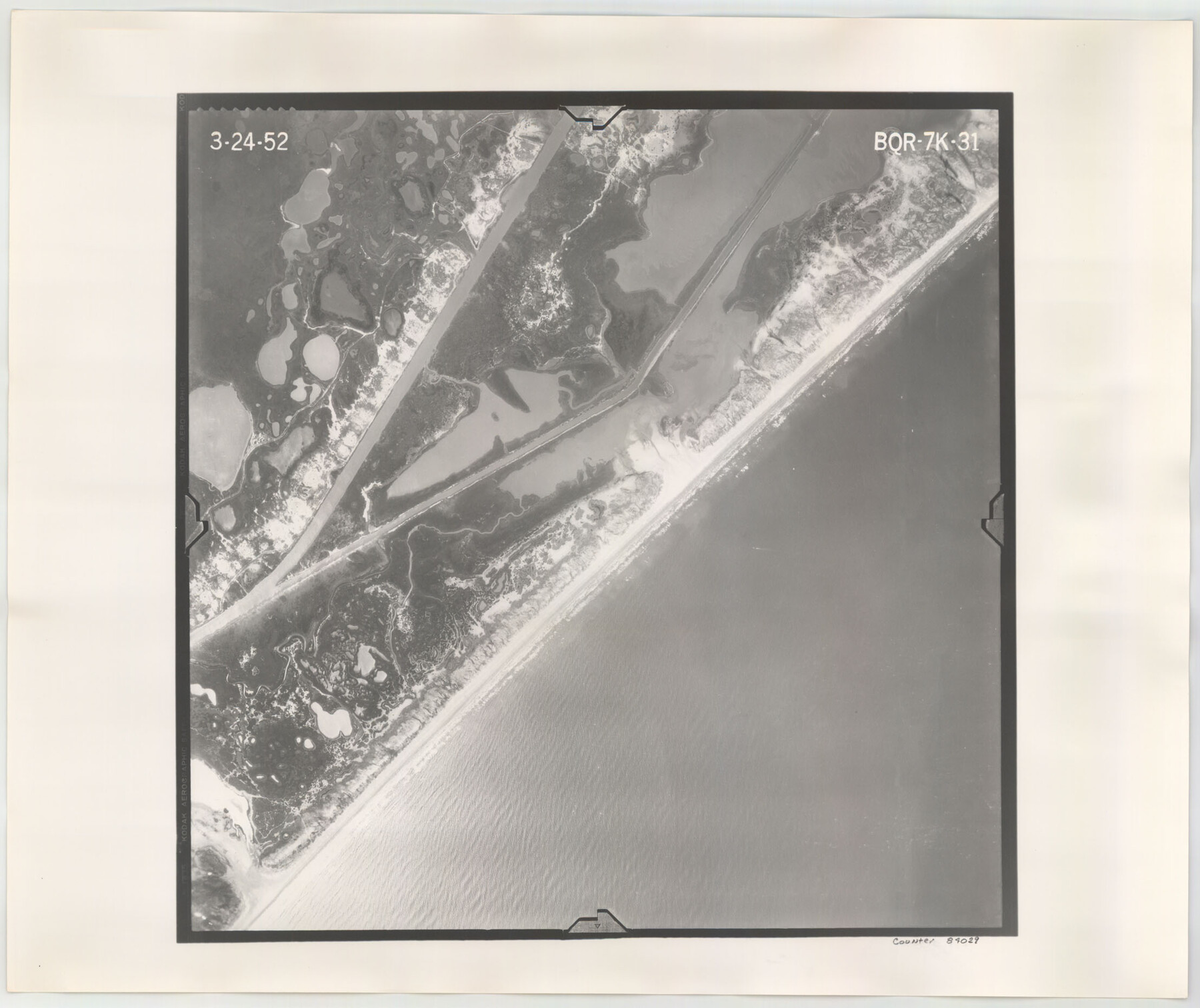
Flight Mission No. BQR-7K, Frame 31, Brazoria County
BQR-7K-31
-
Map/Doc
84029
-
Collection
General Map Collection
-
Object Dates
1952/3/24 (Creation Date)
-
People and Organizations
U. S. Department of Agriculture (Publisher)
-
Counties
Brazoria
-
Subjects
Aerial Photograph
-
Height x Width
18.6 x 22.1 inches
47.2 x 56.1 cm
-
Comments
Flown by Aero Exploration Company of Tulsa, Oklahoma.
Part of: General Map Collection
Flight Mission No. DQN-2K, Frame 94, Calhoun County

Print $20.00
- Digital $50.00
Flight Mission No. DQN-2K, Frame 94, Calhoun County
1953
Size 16.6 x 16.2 inches
Map/Doc 84284
Pecos County Rolled Sketch 28

Print $20.00
- Digital $50.00
Pecos County Rolled Sketch 28
1890
Size 18.9 x 38.5 inches
Map/Doc 7213
Pecos County Working Sketch 117

Print $40.00
- Digital $50.00
Pecos County Working Sketch 117
1973
Size 57.7 x 36.8 inches
Map/Doc 71590
Floyd County Working Sketch 10

Print $20.00
- Digital $50.00
Floyd County Working Sketch 10
1916
Size 15.4 x 27.3 inches
Map/Doc 69189
Current Miscellaneous File 120

Print $14.00
- Digital $50.00
Current Miscellaneous File 120
Size 8.5 x 11.0 inches
Map/Doc 88754
Brazos River, Sandpit Extension Sheet

Print $20.00
- Digital $50.00
Brazos River, Sandpit Extension Sheet
1926
Size 31.3 x 36.5 inches
Map/Doc 69663
Sketch Showing Beach Groins 6th St to 39th St - Galveston, Tex.

Print $20.00
- Digital $50.00
Sketch Showing Beach Groins 6th St to 39th St - Galveston, Tex.
1928
Size 21.0 x 36.4 inches
Map/Doc 73626
Layout of the porciones as described in the Visita General of Camargo, 1767

Layout of the porciones as described in the Visita General of Camargo, 1767
2009
Size 11.0 x 8.5 inches
Map/Doc 94041
Culberson County Working Sketch 84

Print $20.00
- Digital $50.00
Culberson County Working Sketch 84
1980
Size 43.5 x 42.9 inches
Map/Doc 68538
Erath County Working Sketch 6

Print $20.00
- Digital $50.00
Erath County Working Sketch 6
1920
Size 40.9 x 33.1 inches
Map/Doc 69087
Flight Mission No. DAH-17M, Frame 28, Orange County

Print $20.00
- Digital $50.00
Flight Mission No. DAH-17M, Frame 28, Orange County
1953
Size 18.5 x 22.3 inches
Map/Doc 86891
Maverick County Sketch File 23a

Print $20.00
- Digital $50.00
Maverick County Sketch File 23a
Size 41.0 x 41.1 inches
Map/Doc 10537
You may also like
El Paso County Working Sketch 25

Print $20.00
- Digital $50.00
El Paso County Working Sketch 25
1962
Size 42.7 x 41.9 inches
Map/Doc 69047
Cottle County Working Sketch 3

Print $20.00
- Digital $50.00
Cottle County Working Sketch 3
1900
Size 13.6 x 11.4 inches
Map/Doc 68313
Hardin County Sketch File 30a

Print $4.00
- Digital $50.00
Hardin County Sketch File 30a
Size 12.1 x 7.7 inches
Map/Doc 25160
Flight Mission No. DQN-1K, Frame 118, Calhoun County

Print $20.00
- Digital $50.00
Flight Mission No. DQN-1K, Frame 118, Calhoun County
1953
Size 18.5 x 22.2 inches
Map/Doc 84184
Harris County Rolled Sketch 86

Print $40.00
- Digital $50.00
Harris County Rolled Sketch 86
Size 50.4 x 43.9 inches
Map/Doc 73581
Sketch for Mineral Application 26543 (D. H. Sanford) - 243.37 Acres

Print $3.00
- Digital $50.00
Sketch for Mineral Application 26543 (D. H. Sanford) - 243.37 Acres
1931
Size 16.6 x 3.7 inches
Map/Doc 65679
[Travis District]
![88739, [Travis District], General Map Collection](https://historictexasmaps.com/wmedia_w700/maps/88739.tif.jpg)
Print $40.00
- Digital $50.00
[Travis District]
1840
Size 54.7 x 42.0 inches
Map/Doc 88739
Galveston County Sketch File 4

Print $6.00
- Digital $50.00
Galveston County Sketch File 4
1850
Size 12.8 x 8.0 inches
Map/Doc 23355
Galveston Entrance

Print $20.00
- Digital $50.00
Galveston Entrance
1856
Size 16.4 x 20.3 inches
Map/Doc 69857
Map of the Fort Worth & Denver City Railway

Print $40.00
- Digital $50.00
Map of the Fort Worth & Denver City Railway
1887
Size 21.7 x 72.8 inches
Map/Doc 64479
Carson County Sketch File 3

Print $32.00
- Digital $50.00
Carson County Sketch File 3
1888
Size 5.4 x 8.4 inches
Map/Doc 17335
Flight Mission No. DIX-7P, Frame 90, Aransas County

Print $20.00
- Digital $50.00
Flight Mission No. DIX-7P, Frame 90, Aransas County
1956
Size 18.8 x 22.4 inches
Map/Doc 83884