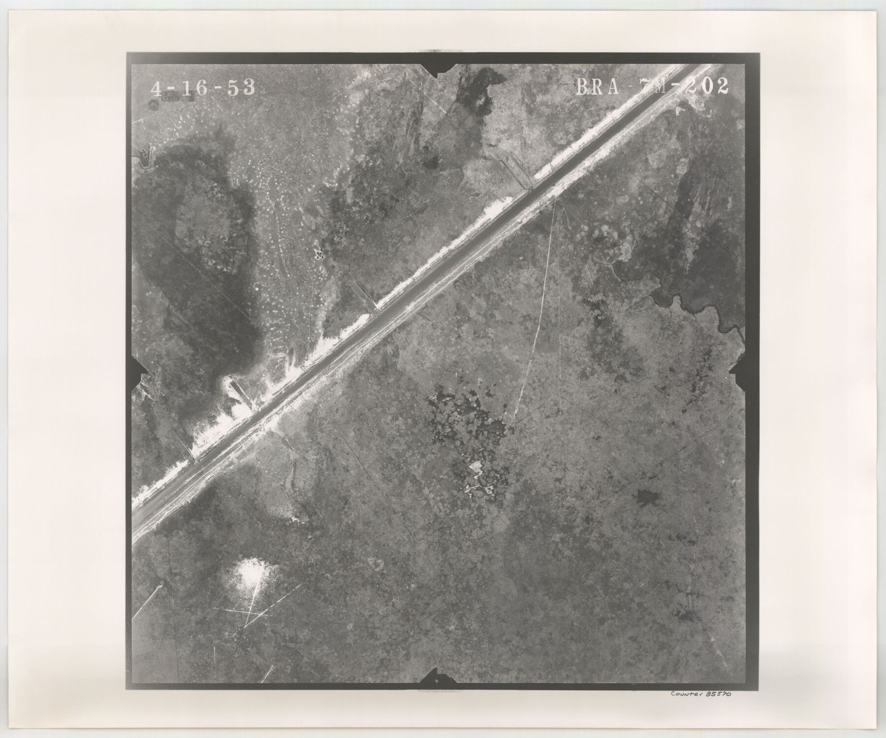
Flight Mission No. BRA-7M, Frame 202, Jefferson County
BRA-7M-202
-
Map/Doc
85570
-
Collection
General Map Collection
-
Object Dates
1953/4/16 (Creation Date)
-
People and Organizations
U. S. Department of Agriculture (Publisher)
-
Counties
Jefferson
-
Subjects
Aerial Photograph
-
Height x Width
18.6 x 22.3 inches
47.2 x 56.6 cm
-
Comments
Flown by Jack Ammann Photogrammetric Engineers of San Antonio, Texas.
Part of: General Map Collection
Navigation Maps of Gulf Intracoastal Waterway, Port Arthur to Brownsville, Texas

Print $4.00
- Digital $50.00
Navigation Maps of Gulf Intracoastal Waterway, Port Arthur to Brownsville, Texas
1951
Size 16.6 x 21.3 inches
Map/Doc 65438
[Surveys in Austin's Colony along the east bank of the Navidad River]
![78488, [Surveys in Austin's Colony along the east bank of the Navidad River], General Map Collection](https://historictexasmaps.com/wmedia_w700/maps/78488.tif.jpg)
Print $20.00
- Digital $50.00
[Surveys in Austin's Colony along the east bank of the Navidad River]
1827
Size 20.3 x 16.1 inches
Map/Doc 78488
[Surveys along Cypress Creek]
![155, [Surveys along Cypress Creek], General Map Collection](https://historictexasmaps.com/wmedia_w700/maps/155.tif.jpg)
Print $2.00
- Digital $50.00
[Surveys along Cypress Creek]
1844
Size 6.0 x 6.1 inches
Map/Doc 155
Schleicher County Sketch File 33

Print $8.00
- Digital $50.00
Schleicher County Sketch File 33
1948
Size 11.3 x 8.9 inches
Map/Doc 36534
Limestone County Sketch File 20

Print $44.00
- Digital $50.00
Limestone County Sketch File 20
1922
Size 11.2 x 8.5 inches
Map/Doc 30195
La Salle County Working Sketch 4

Print $20.00
- Digital $50.00
La Salle County Working Sketch 4
1915
Size 31.6 x 36.6 inches
Map/Doc 70305
Flight Mission No. BRA-7M, Frame 25, Jefferson County

Print $20.00
- Digital $50.00
Flight Mission No. BRA-7M, Frame 25, Jefferson County
1953
Size 18.6 x 22.2 inches
Map/Doc 85476
Right of Way Map, Belton Branch of the M.K.&T. RR.

Print $20.00
- Digital $50.00
Right of Way Map, Belton Branch of the M.K.&T. RR.
1896
Size 14.5 x 42.1 inches
Map/Doc 64219
Briscoe County Sketch File 8

Print $6.00
- Digital $50.00
Briscoe County Sketch File 8
1896
Size 10.5 x 8.3 inches
Map/Doc 16417
[Surveys in Power and Hewetson's Colony along the Aransas River, Middle Creek, Papalose Creek, and Blanco Creek]
![81, [Surveys in Power and Hewetson's Colony along the Aransas River, Middle Creek, Papalose Creek, and Blanco Creek], General Map Collection](https://historictexasmaps.com/wmedia_w700/maps/81.tif.jpg)
Print $20.00
- Digital $50.00
[Surveys in Power and Hewetson's Colony along the Aransas River, Middle Creek, Papalose Creek, and Blanco Creek]
1830
Size 21.6 x 21.2 inches
Map/Doc 81

Zapata County

Print $40.00
- Digital $50.00
Zapata County
1935
Size 56.7 x 43.2 inches
Map/Doc 63145
You may also like
Intracoastal Waterway in Texas - Corpus Christi to Point Isabel including Arroyo Colorado to Mo. Pac. R.R. Bridge Near Harlingen

Print $20.00
- Digital $50.00
Intracoastal Waterway in Texas - Corpus Christi to Point Isabel including Arroyo Colorado to Mo. Pac. R.R. Bridge Near Harlingen
1933
Size 27.5 x 40.6 inches
Map/Doc 61869
Map of Hamilton County

Print $20.00
- Digital $50.00
Map of Hamilton County
1872
Size 15.0 x 21.9 inches
Map/Doc 4557
Map of the Denison & South Eastern Rwy. showing the Location & Land Lines of the First Twenty-One Miles

Print $40.00
- Digital $50.00
Map of the Denison & South Eastern Rwy. showing the Location & Land Lines of the First Twenty-One Miles
1878
Size 24.1 x 70.4 inches
Map/Doc 64023
Jefferson County Sketch File 42

Print $20.00
- Digital $50.00
Jefferson County Sketch File 42
1945
Size 25.5 x 35.1 inches
Map/Doc 11876
Pecos County Rolled Sketch 169

Print $40.00
- Digital $50.00
Pecos County Rolled Sketch 169
1927
Size 63.8 x 30.0 inches
Map/Doc 9749
Lubbock County Sketch File 1

Print $20.00
- Digital $50.00
Lubbock County Sketch File 1
1884
Size 22.5 x 27.6 inches
Map/Doc 12015
The Judicial District/Counties, Late Spring 1842

Print $20.00
The Judicial District/Counties, Late Spring 1842
2020
Size 24.5 x 21.7 inches
Map/Doc 96356
Kinney County Rolled Sketch 10

Print $20.00
- Digital $50.00
Kinney County Rolled Sketch 10
1942
Size 22.9 x 20.4 inches
Map/Doc 6539
Wilbarger County Rolled Sketch 9

Print $20.00
- Digital $50.00
Wilbarger County Rolled Sketch 9
Size 23.8 x 28.1 inches
Map/Doc 8258
Ward County Working Sketch 16

Print $20.00
- Digital $50.00
Ward County Working Sketch 16
1948
Size 29.6 x 33.9 inches
Map/Doc 72322
Plat of Ingleside and Garden Tracts

Print $20.00
- Digital $50.00
Plat of Ingleside and Garden Tracts
1890
Size 25.4 x 30.4 inches
Map/Doc 661
Amistad International Reservoir on Rio Grande 106

Print $20.00
- Digital $50.00
Amistad International Reservoir on Rio Grande 106
1950
Size 28.5 x 41.0 inches
Map/Doc 75537