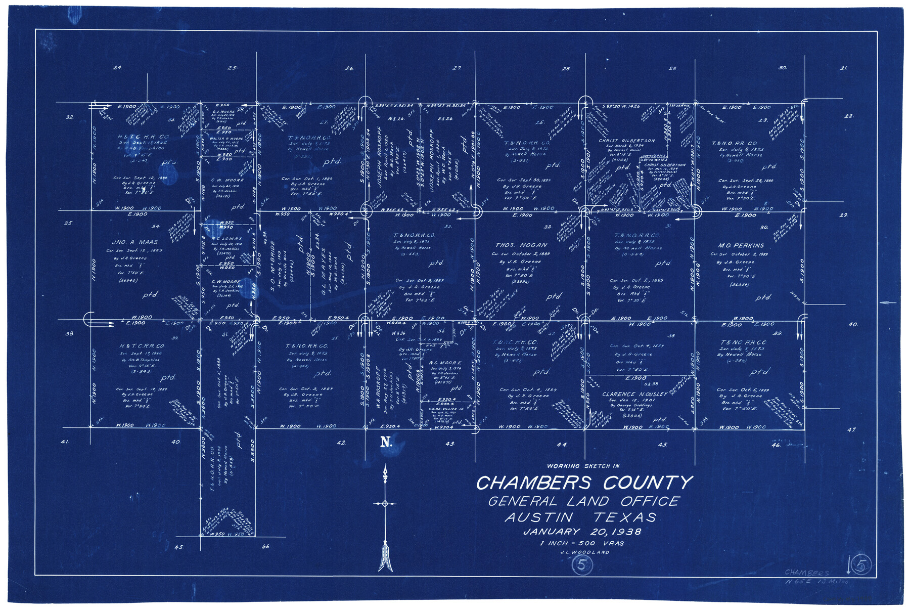
Chambers County Working Sketch 5
-
Map/Doc
67988
-
Collection
General Map Collection
-
Object Dates
1/20/1938 (Creation Date)
-
People and Organizations
J.L. Woodland (Draftsman)
-
Counties
Chambers
-
Subjects
Surveying Working Sketch
-
Height x Width
20.9 x 31.6 inches
53.1 x 80.3 cm
-
Scale
1" = 500 varas
Part of: General Map Collection
[Surveys in Williamson County]
![78374, [Surveys in Williamson County], General Map Collection](https://historictexasmaps.com/wmedia_w700/maps/78374.tif.jpg)
Print $2.00
- Digital $50.00
[Surveys in Williamson County]
1846
Size 9.2 x 11.8 inches
Map/Doc 78374
Zavala County Sketch File 22

Print $4.00
- Digital $50.00
Zavala County Sketch File 22
1885
Size 11.0 x 8.4 inches
Map/Doc 41378
Guadalupe County Sketch File 7

Print $20.00
- Digital $50.00
Guadalupe County Sketch File 7
Size 15.6 x 19.5 inches
Map/Doc 11590
Galveston County Rolled Sketch 43A

Print $20.00
- Digital $50.00
Galveston County Rolled Sketch 43A
Size 16.2 x 20.3 inches
Map/Doc 76005
Bee County Sketch File 23

Print $8.00
- Digital $50.00
Bee County Sketch File 23
1878
Size 10.0 x 8.1 inches
Map/Doc 14318
Taylor County Rolled Sketch 22

Print $20.00
- Digital $50.00
Taylor County Rolled Sketch 22
1950
Size 23.3 x 26.7 inches
Map/Doc 7915
A Topographical Map of the City of Austin

Print $20.00
- Digital $50.00
A Topographical Map of the City of Austin
1872
Size 21.0 x 14.7 inches
Map/Doc 4821
El Paso County Sketch File 21

Print $35.00
- Digital $50.00
El Paso County Sketch File 21
1916
Size 14.5 x 9.1 inches
Map/Doc 22014
Matagorda County Sketch File 6

Print $4.00
- Digital $50.00
Matagorda County Sketch File 6
Size 8.0 x 4.9 inches
Map/Doc 30738

Dallas County Boundary File 6e

Print $70.00
- Digital $50.00
Dallas County Boundary File 6e
Size 16.6 x 22.5 inches
Map/Doc 52254
Crane County Rolled Sketch 23

Print $20.00
- Digital $50.00
Crane County Rolled Sketch 23
2002
Size 23.9 x 34.3 inches
Map/Doc 76426
You may also like
Carta Marina Nvova Tavola

Print $20.00
- Digital $50.00
Carta Marina Nvova Tavola
1574
Size 9.0 x 12.4 inches
Map/Doc 97081
Culberson County Sketch File 21

Print $20.00
- Digital $50.00
Culberson County Sketch File 21
1937
Size 11.2 x 8.8 inches
Map/Doc 20224
Sketch H Showing the progress of the Survey in Section No. 8

Print $20.00
- Digital $50.00
Sketch H Showing the progress of the Survey in Section No. 8
1846
Size 17.1 x 20.6 inches
Map/Doc 97222
Cass County Working Sketch 22

Print $20.00
- Digital $50.00
Cass County Working Sketch 22
1961
Size 21.7 x 34.0 inches
Map/Doc 67925
Flight Mission No. BRA-7M, Frame 201, Jefferson County

Print $20.00
- Digital $50.00
Flight Mission No. BRA-7M, Frame 201, Jefferson County
1953
Size 18.6 x 22.4 inches
Map/Doc 85569
Flight Mission No. DQN-6K, Frame 10, Calhoun County

Print $20.00
- Digital $50.00
Flight Mission No. DQN-6K, Frame 10, Calhoun County
1953
Size 18.5 x 22.3 inches
Map/Doc 84432
General Highway Map, Hidalgo County, Texas

Print $20.00
General Highway Map, Hidalgo County, Texas
1961
Size 18.2 x 24.8 inches
Map/Doc 79519
W. S. Mabry Land Corners and Connections, Potter County

Print $20.00
- Digital $50.00
W. S. Mabry Land Corners and Connections, Potter County
Size 22.4 x 17.4 inches
Map/Doc 91805
[Leagues 247, 320, and 321]
![91290, [Leagues 247, 320, and 321], Twichell Survey Records](https://historictexasmaps.com/wmedia_w700/maps/91290-1.tif.jpg)
Print $2.00
- Digital $50.00
[Leagues 247, 320, and 321]
Size 7.8 x 14.5 inches
Map/Doc 91290
Terrell County Rolled Sketch 56

Print $20.00
- Digital $50.00
Terrell County Rolled Sketch 56
1986
Size 36.6 x 42.0 inches
Map/Doc 9992
Uvalde County Working Sketch 54

Print $20.00
- Digital $50.00
Uvalde County Working Sketch 54
1983
Size 39.6 x 32.3 inches
Map/Doc 72124
Brazoria County Working Sketch 36

Print $40.00
- Digital $50.00
Brazoria County Working Sketch 36
1981
Size 43.4 x 71.4 inches
Map/Doc 67521