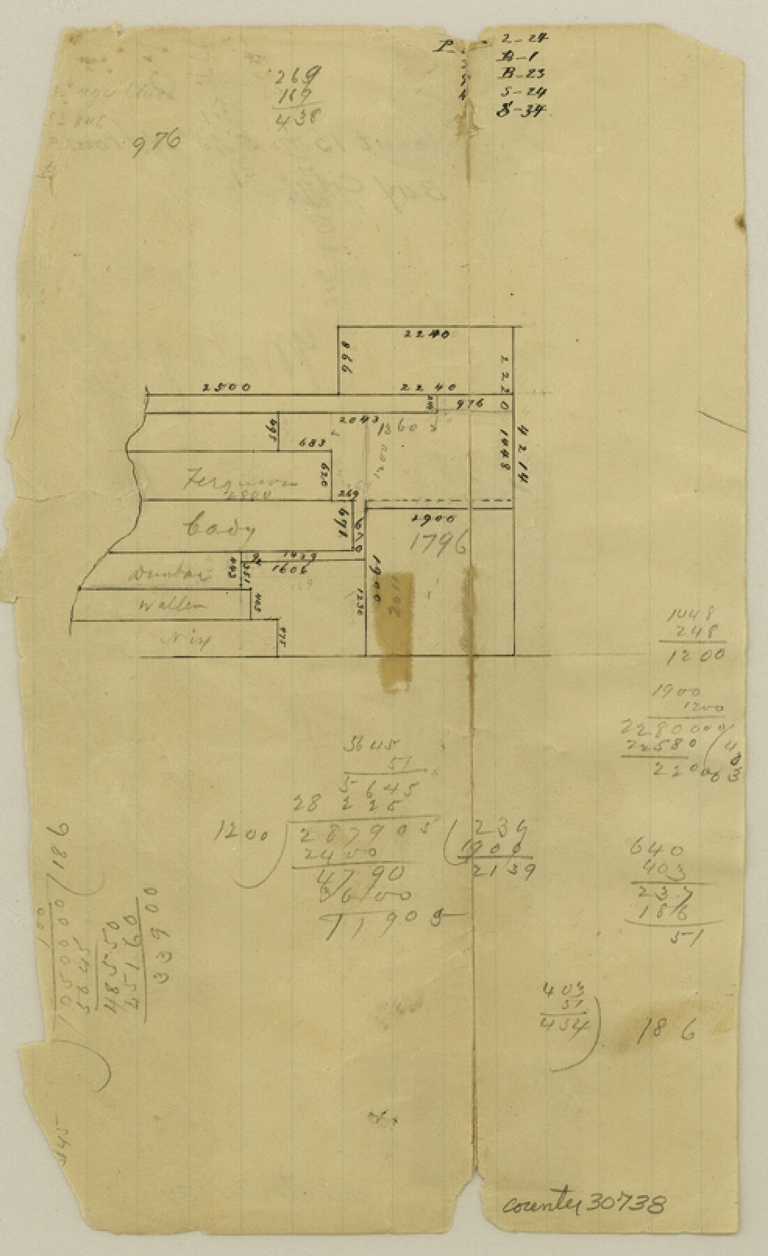
Matagorda County Sketch File 6
[Sketch southwest from Bay City]
-
Map/Doc
30738
-
Collection
General Map Collection
-
Counties
Matagorda
-
Subjects
Surveying Sketch File
-
Height x Width
8.0 x 4.9 inches
20.3 x 12.5 cm
-
Medium
paper, manuscript
Part of: General Map Collection
San Jacinto County Working Sketch 4

Print $20.00
- Digital $50.00
San Jacinto County Working Sketch 4
1934
Size 16.2 x 20.8 inches
Map/Doc 63717

Lubbock County Boundary File 8

Print $46.00
- Digital $50.00
Lubbock County Boundary File 8
Size 7.3 x 8.7 inches
Map/Doc 56525
Sutton County Rolled Sketch 62

Print $40.00
- Digital $50.00
Sutton County Rolled Sketch 62
Size 69.8 x 45.2 inches
Map/Doc 9978
[Gulf, Colorado & Santa Fe]
![64590, [Gulf, Colorado & Santa Fe], General Map Collection](https://historictexasmaps.com/wmedia_w700/maps/64590.tif.jpg)
Print $40.00
- Digital $50.00
[Gulf, Colorado & Santa Fe]
1918
Size 31.4 x 117.0 inches
Map/Doc 64590
Chambers County Rolled Sketch 25

Print $20.00
- Digital $50.00
Chambers County Rolled Sketch 25
1944
Size 33.9 x 31.5 inches
Map/Doc 8618
Flight Mission No. DIX-6P, Frame 117, Aransas County

Print $20.00
- Digital $50.00
Flight Mission No. DIX-6P, Frame 117, Aransas County
1956
Size 19.2 x 22.8 inches
Map/Doc 83823
Hardeman County Working Sketch 9

Print $20.00
- Digital $50.00
Hardeman County Working Sketch 9
1953
Size 44.4 x 27.2 inches
Map/Doc 63390
Flight Mission No. DQN-2K, Frame 34, Calhoun County

Print $20.00
- Digital $50.00
Flight Mission No. DQN-2K, Frame 34, Calhoun County
1953
Size 18.5 x 22.2 inches
Map/Doc 84241
Bosque County Sketch File 27

Print $40.00
- Digital $50.00
Bosque County Sketch File 27
Size 14.7 x 17.5 inches
Map/Doc 10937
National Map Company's New Road Survey of the United States Showing Main Highways

Print $20.00
- Digital $50.00
National Map Company's New Road Survey of the United States Showing Main Highways
Size 44.3 x 38.2 inches
Map/Doc 4674
Old Miscellaneous File 32

Print $4.00
- Digital $50.00
Old Miscellaneous File 32
1854
Size 11.0 x 8.6 inches
Map/Doc 75751
You may also like
[Blocks C, M and B, north of Morris County School Land]
![90488, [Blocks C, M and B, north of Morris County School Land], Twichell Survey Records](https://historictexasmaps.com/wmedia_w700/maps/90488-1.tif.jpg)
Print $20.00
- Digital $50.00
[Blocks C, M and B, north of Morris County School Land]
Size 20.0 x 15.0 inches
Map/Doc 90488
Reagan County

Print $40.00
- Digital $50.00
Reagan County
1940
Size 48.4 x 37.5 inches
Map/Doc 73270
Blanco County Rolled Sketch 14

Print $20.00
- Digital $50.00
Blanco County Rolled Sketch 14
Size 26.0 x 19.7 inches
Map/Doc 5150
Nueces County Rolled Sketch 63

Print $20.00
- Digital $50.00
Nueces County Rolled Sketch 63
1979
Size 25.5 x 38.1 inches
Map/Doc 6909
The Wonderful Lower Rio Grande Valley

Print $20.00
- Digital $50.00
The Wonderful Lower Rio Grande Valley
1909
Size 21.6 x 22.9 inches
Map/Doc 95798
Presidio County Working Sketch 39

Print $20.00
- Digital $50.00
Presidio County Working Sketch 39
1948
Size 44.6 x 43.4 inches
Map/Doc 71716
Val Verde County Working Sketch 81

Print $20.00
- Digital $50.00
Val Verde County Working Sketch 81
1973
Size 24.6 x 41.7 inches
Map/Doc 72216
Flight Mission No. DQO-8K, Frame 50, Galveston County

Print $20.00
- Digital $50.00
Flight Mission No. DQO-8K, Frame 50, Galveston County
1952
Size 18.7 x 22.4 inches
Map/Doc 85157
San Augustine County Working Sketch 9

Print $20.00
- Digital $50.00
San Augustine County Working Sketch 9
1935
Size 41.2 x 39.7 inches
Map/Doc 63696
Webb County Rolled Sketch 11

Print $20.00
- Digital $50.00
Webb County Rolled Sketch 11
1911
Size 37.1 x 34.7 inches
Map/Doc 10118
McLaughlin Farm, Crosby County, Texas

Print $20.00
- Digital $50.00
McLaughlin Farm, Crosby County, Texas
1952
Size 14.3 x 14.1 inches
Map/Doc 92615
Erath County Working Sketch 31

Print $20.00
- Digital $50.00
Erath County Working Sketch 31
1970
Size 23.2 x 26.2 inches
Map/Doc 69112