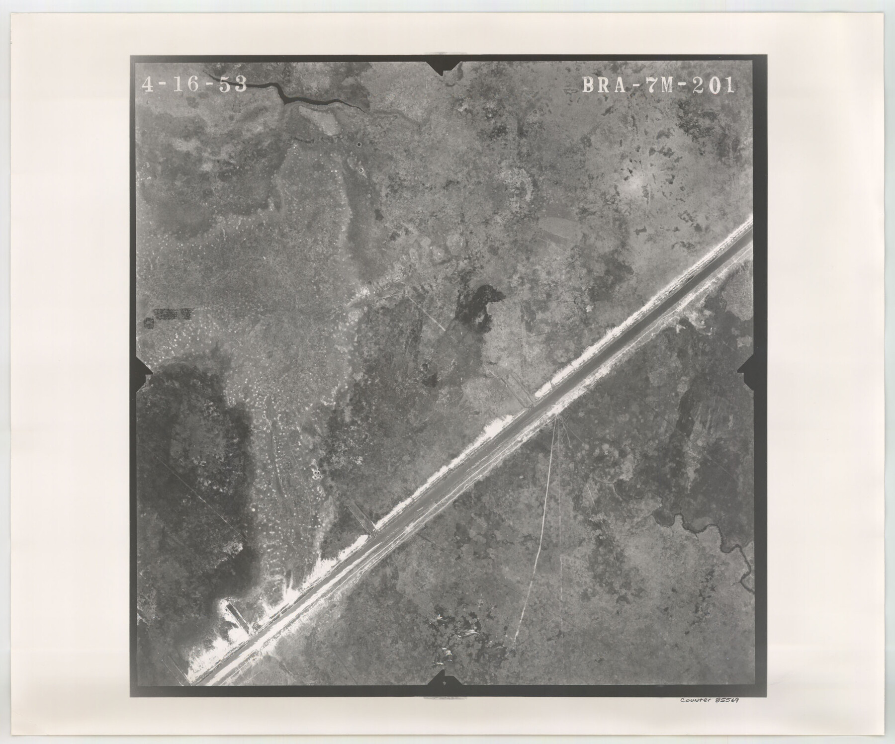
Flight Mission No. BRA-7M, Frame 201, Jefferson County
BRA-7M-201
-
Map/Doc
85569
-
Collection
General Map Collection
-
Object Dates
1953/4/16 (Creation Date)
-
People and Organizations
U. S. Department of Agriculture (Publisher)
-
Counties
Jefferson
-
Subjects
Aerial Photograph
-
Height x Width
18.6 x 22.4 inches
47.2 x 56.9 cm
-
Comments
Flown by Jack Ammann Photogrammetric Engineers of San Antonio, Texas.
Part of: General Map Collection

Map of north end of Brazos Island

Print $20.00
- Digital $50.00
Map of north end of Brazos Island
Size 27.5 x 18.4 inches
Map/Doc 72905
Knox County Working Sketch 9

Print $20.00
- Digital $50.00
Knox County Working Sketch 9
1945
Size 33.8 x 43.3 inches
Map/Doc 70251
Map of Nacogdoches County

Print $40.00
- Digital $50.00
Map of Nacogdoches County
1896
Size 64.0 x 59.7 inches
Map/Doc 16776
Edwards County Working Sketch 133

Print $20.00
- Digital $50.00
Edwards County Working Sketch 133
1985
Size 29.7 x 38.9 inches
Map/Doc 69009
Atascosa County Rolled Sketch 22

Print $40.00
- Digital $50.00
Atascosa County Rolled Sketch 22
1917
Size 26.3 x 57.2 inches
Map/Doc 8434
Flight Mission No. BQR-20K, Frame 3, Brazoria County

Print $20.00
- Digital $50.00
Flight Mission No. BQR-20K, Frame 3, Brazoria County
1952
Size 18.6 x 22.2 inches
Map/Doc 84105
Flight Mission No. CLL-1N, Frame 87, Willacy County

Print $20.00
- Digital $50.00
Flight Mission No. CLL-1N, Frame 87, Willacy County
1954
Size 18.3 x 22.0 inches
Map/Doc 87033
Travis County Appraisal District Plat Map 2_0905

Print $20.00
- Digital $50.00
Travis County Appraisal District Plat Map 2_0905
Size 21.4 x 26.4 inches
Map/Doc 94232
Lamb County Sketch File 13

Print $42.00
- Digital $50.00
Lamb County Sketch File 13
1914
Size 9.1 x 8.6 inches
Map/Doc 29371
Jasper County Sketch File 13

Print $4.00
- Digital $50.00
Jasper County Sketch File 13
1880
Size 12.1 x 8.7 inches
Map/Doc 27804
Flight Mission No. DCL-7C, Frame 97, Kenedy County

Print $20.00
- Digital $50.00
Flight Mission No. DCL-7C, Frame 97, Kenedy County
1943
Size 15.3 x 15.2 inches
Map/Doc 86069
You may also like

South Umbarger in Randall County, Texas

Print $20.00
- Digital $50.00
South Umbarger in Randall County, Texas
1905
Size 31.2 x 30.7 inches
Map/Doc 92153
[Office Sketch of Jesse McGee survey in Sabine and Newton Counties]
![543, [Office Sketch of Jesse McGee survey in Sabine and Newton Counties], Maddox Collection](https://historictexasmaps.com/wmedia_w700/maps/543.tif.jpg)
Print $20.00
- Digital $50.00
[Office Sketch of Jesse McGee survey in Sabine and Newton Counties]
1910
Size 13.4 x 15.1 inches
Map/Doc 543
Carte de la Louisiane et du Cours du Mississipi

Print $20.00
- Digital $50.00
Carte de la Louisiane et du Cours du Mississipi
1718
Size 20.6 x 27.3 inches
Map/Doc 93821
![91292, [League 321], Twichell Survey Records](https://historictexasmaps.com/wmedia_w700/maps/91292-1.tif.jpg)
[West Half of the State of Kansas]
![93159, [West Half of the State of Kansas], Twichell Survey Records](https://historictexasmaps.com/wmedia_w700/maps/93159-1.tif.jpg)
Print $40.00
- Digital $50.00
[West Half of the State of Kansas]
Size 60.8 x 54.0 inches
Map/Doc 93159
Flight Mission No. DCL-7C, Frame 10, Kenedy County

Print $20.00
- Digital $50.00
Flight Mission No. DCL-7C, Frame 10, Kenedy County
1943
Size 15.3 x 15.2 inches
Map/Doc 86002
![94160, Austin and Vicinity [Recto], General Map Collection](https://historictexasmaps.com/wmedia_w700/maps/94160.tif.jpg)
Flight Mission No. BRA-6M, Frame 80, Jefferson County

Print $20.00
- Digital $50.00
Flight Mission No. BRA-6M, Frame 80, Jefferson County
1953
Size 18.6 x 22.3 inches
Map/Doc 85424
Pecos County Boundary File 1

Print $2.00
- Digital $50.00
Pecos County Boundary File 1
Size 10.1 x 8.0 inches
Map/Doc 57854
Sutton County Sketch File 46

Print $4.00
- Digital $50.00
Sutton County Sketch File 46
1939
Size 11.3 x 8.8 inches
Map/Doc 37517
Refugio County Sketch File 1

Print $8.00
- Digital $50.00
Refugio County Sketch File 1
1846
Size 12.6 x 7.8 inches
Map/Doc 35235