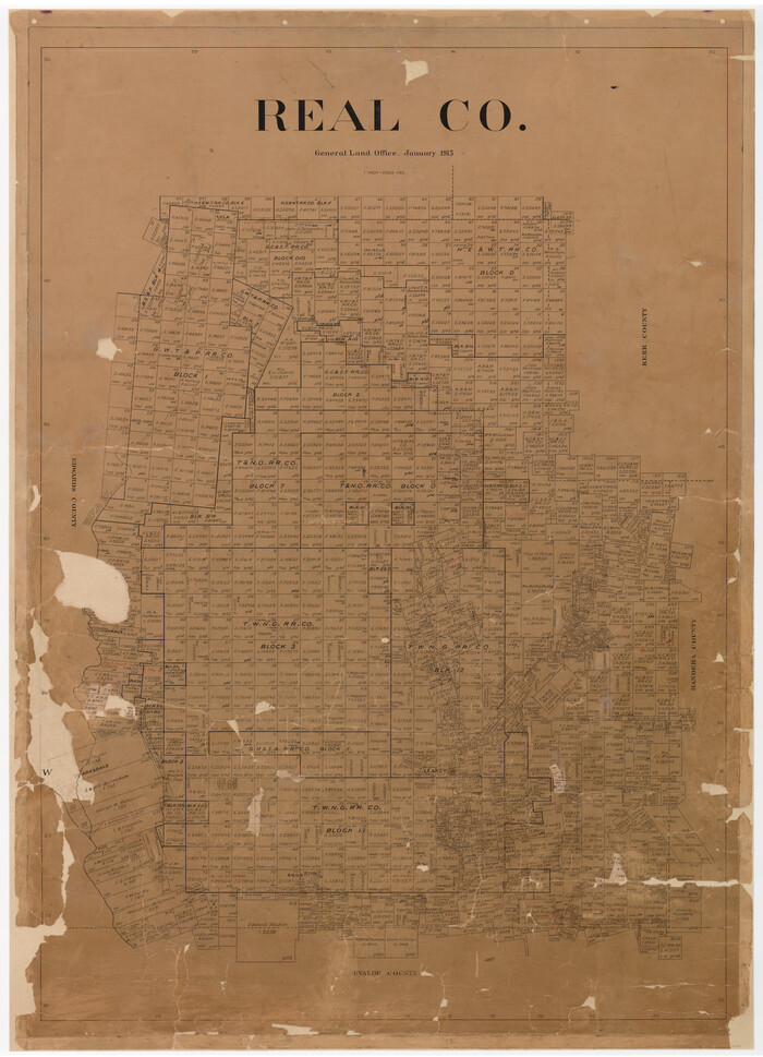
[Surveys in Williamson County]
Atlas G, Page 5, Sketch 33 (G-5-33)
G-5-33
-
Map/Doc
78374
-
Collection
General Map Collection
-
Object Dates
1846 (Creation Date)
-
People and Organizations
Matthias Wilbarger (Surveyor/Engineer)
-
Counties
Williamson
-
Subjects
Atlas
-
Height x Width
9.2 x 11.8 inches
23.4 x 30.0 cm
-
Medium
paper, manuscript
-
Comments
Conserved in 2004.
Part of: General Map Collection
Map of Hamilton County


Print $20.00
- Digital $50.00
Map of Hamilton County
1872
Size 15.1 x 22.1 inches
Map/Doc 4555
Hudspeth County Working Sketch 53-2


Print $40.00
- Digital $50.00
Hudspeth County Working Sketch 53-2
1988
Size 49.9 x 43.3 inches
Map/Doc 78210
Foard County Sketch File 32
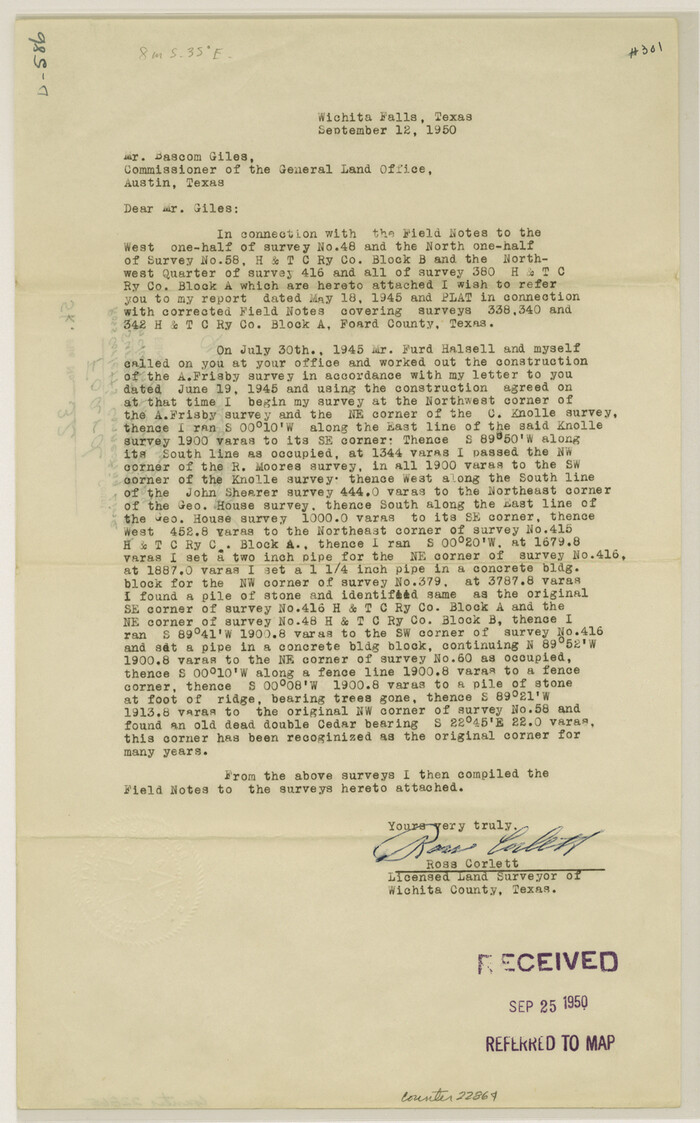

Print $4.00
- Digital $50.00
Foard County Sketch File 32
1950
Size 14.5 x 9.0 inches
Map/Doc 22864
Hutchinson County Rolled Sketch 42
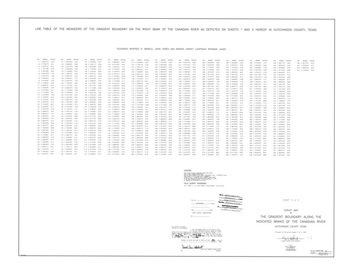

Print $40.00
- Digital $50.00
Hutchinson County Rolled Sketch 42
1993
Size 38.0 x 49.5 inches
Map/Doc 6310
Current Miscellaneous File 114


Print $16.00
- Digital $50.00
Current Miscellaneous File 114
1985
Size 8.9 x 11.3 inches
Map/Doc 74803
Frio County Working Sketch 9
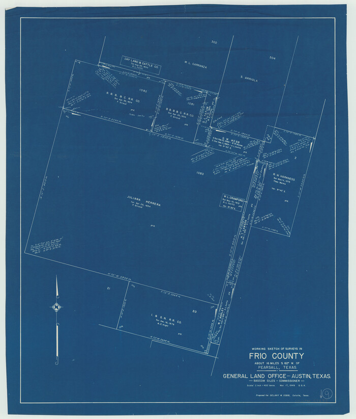

Print $20.00
- Digital $50.00
Frio County Working Sketch 9
1949
Size 30.1 x 25.6 inches
Map/Doc 69283
Val Verde County Sketch File A3
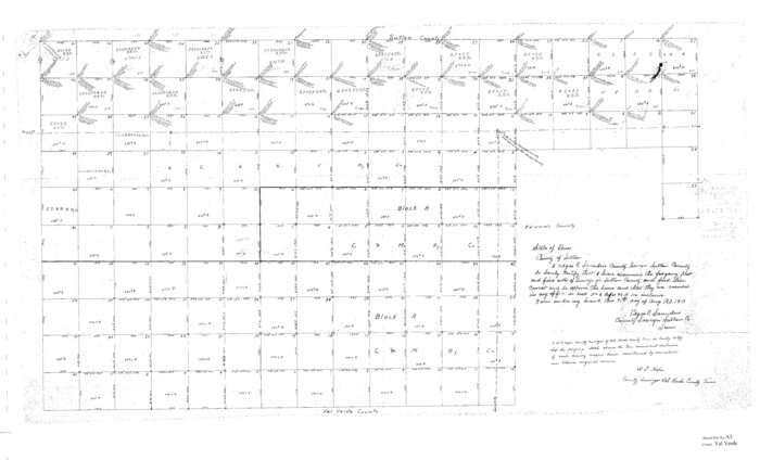

Print $20.00
- Digital $50.00
Val Verde County Sketch File A3
1917
Size 25.6 x 42.3 inches
Map/Doc 10418
The Latest Map of Texas
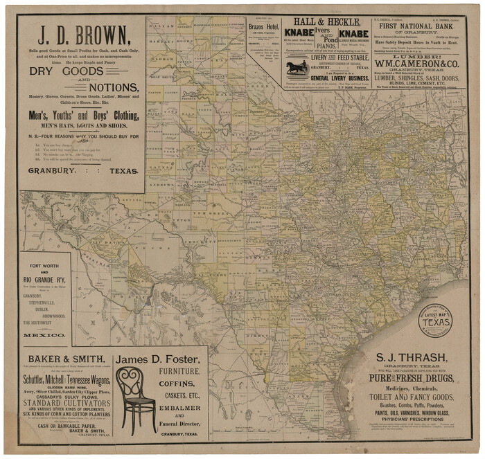

Print $20.00
- Digital $50.00
The Latest Map of Texas
1889
Size 32.0 x 34.0 inches
Map/Doc 93422
Hale County Sketch File 14


Print $8.00
- Digital $50.00
Hale County Sketch File 14
Size 14.1 x 8.7 inches
Map/Doc 24743
Presidio County Sketch File P1
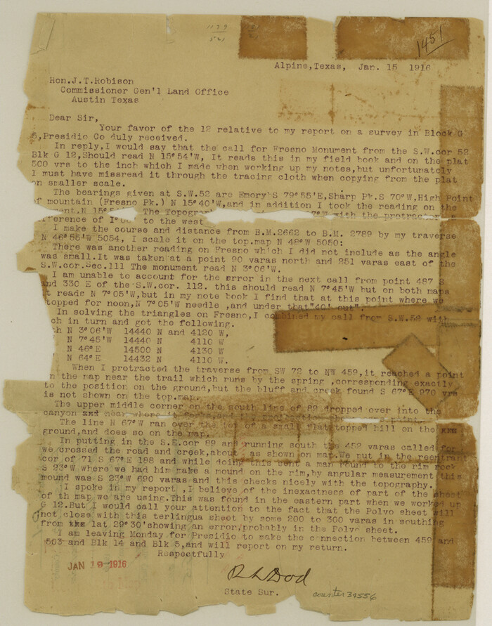

Print $4.00
- Digital $50.00
Presidio County Sketch File P1
Size 11.2 x 8.8 inches
Map/Doc 34556
Armstrong County


Print $20.00
- Digital $50.00
Armstrong County
1904
Size 40.4 x 33.8 inches
Map/Doc 3247
You may also like
San Patricio County Boundary File 77


Digital $50.00
San Patricio County Boundary File 77
Map/Doc 81963
Kendall County Working Sketch 20


Print $20.00
- Digital $50.00
Kendall County Working Sketch 20
1970
Size 37.7 x 44.8 inches
Map/Doc 66692
Chambers County Working Sketch 21
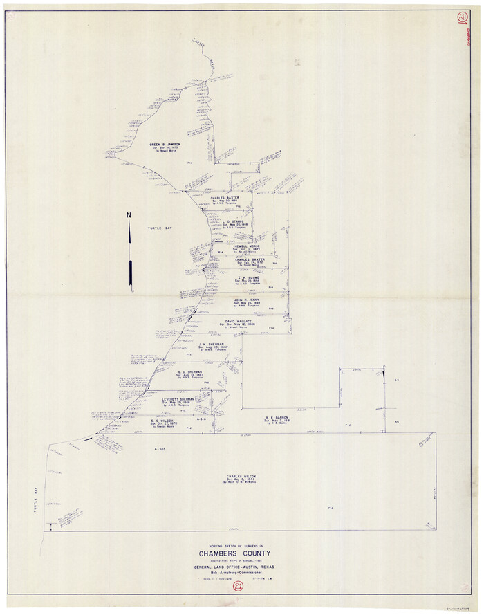

Print $20.00
- Digital $50.00
Chambers County Working Sketch 21
1974
Size 44.1 x 34.8 inches
Map/Doc 68004
Crockett County Sketch File 21
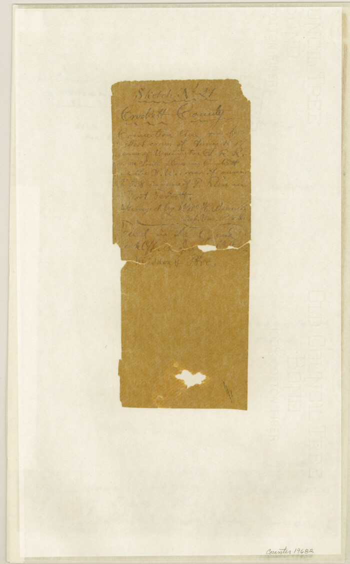

Print $18.00
- Digital $50.00
Crockett County Sketch File 21
Size 13.6 x 8.4 inches
Map/Doc 19682
Dawson County Working Sketch Graphic Index
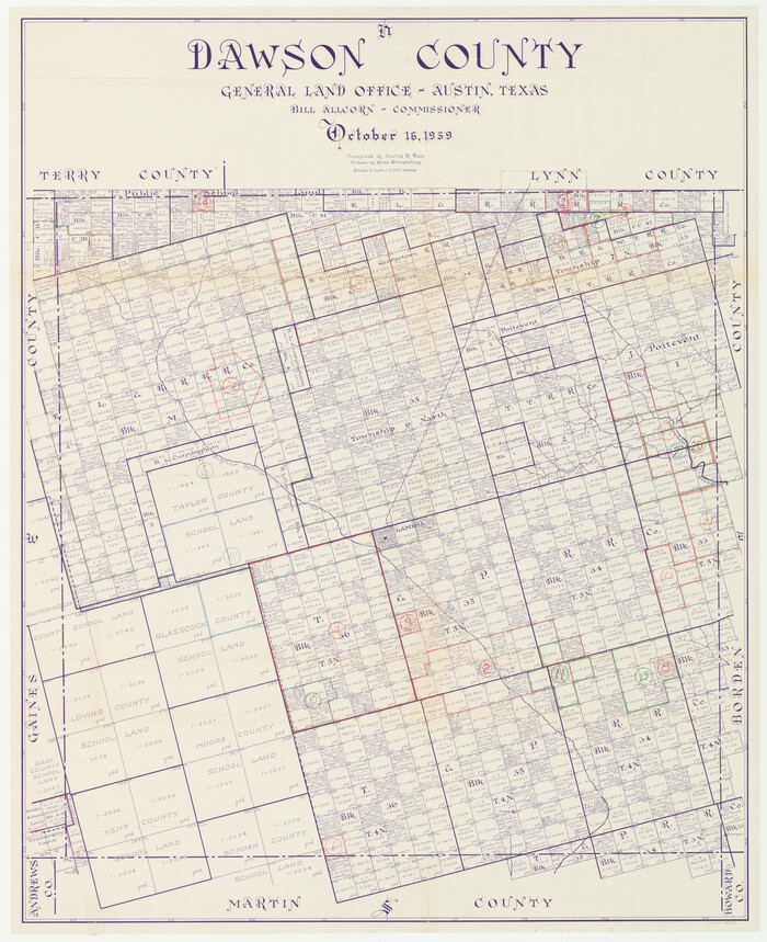

Print $20.00
- Digital $50.00
Dawson County Working Sketch Graphic Index
1959
Size 40.7 x 33.4 inches
Map/Doc 76518
Flight Mission No. CRK-3P, Frame 131, Refugio County


Print $20.00
- Digital $50.00
Flight Mission No. CRK-3P, Frame 131, Refugio County
1956
Size 18.5 x 22.4 inches
Map/Doc 86919
Ector County Sketch File 5


Print $6.00
- Digital $50.00
Ector County Sketch File 5
1939
Size 9.1 x 14.5 inches
Map/Doc 21637
San Patricio County Sketch File 19
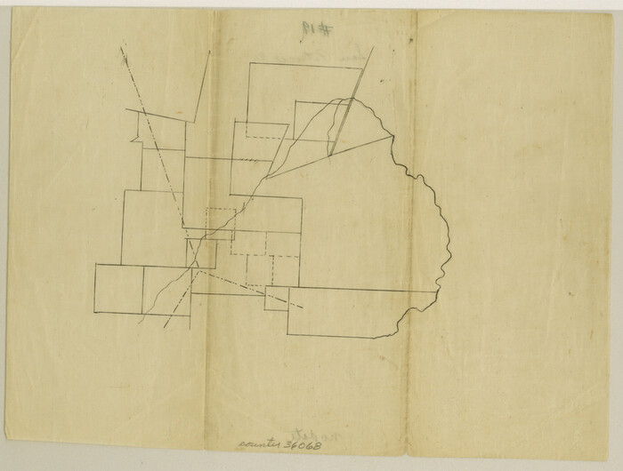

Print $2.00
San Patricio County Sketch File 19
Size 8.0 x 10.5 inches
Map/Doc 36068
Sutton County Sketch File A
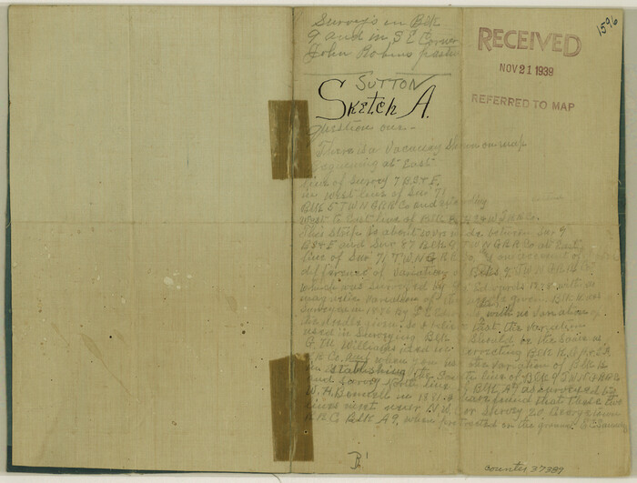

Print $5.00
- Digital $50.00
Sutton County Sketch File A
Size 9.1 x 11.9 inches
Map/Doc 37389
Edwards County Working Sketch 52

Print $20.00
- Digital $50.00
Edwards County Working Sketch 52
1950
Size 46.8 x 34.1 inches
Map/Doc 68928
Harris County Sketch File AA3


Print $8.00
- Digital $50.00
Harris County Sketch File AA3
Size 8.2 x 8.5 inches
Map/Doc 25326
Brazoria County Rolled Sketch 39

Print $20.00
- Digital $50.00
Brazoria County Rolled Sketch 39
1949
Size 22.8 x 34.8 inches
Map/Doc 5174
![78374, [Surveys in Williamson County], General Map Collection](https://historictexasmaps.com/wmedia_w1800h1800/maps/78374.tif.jpg)
