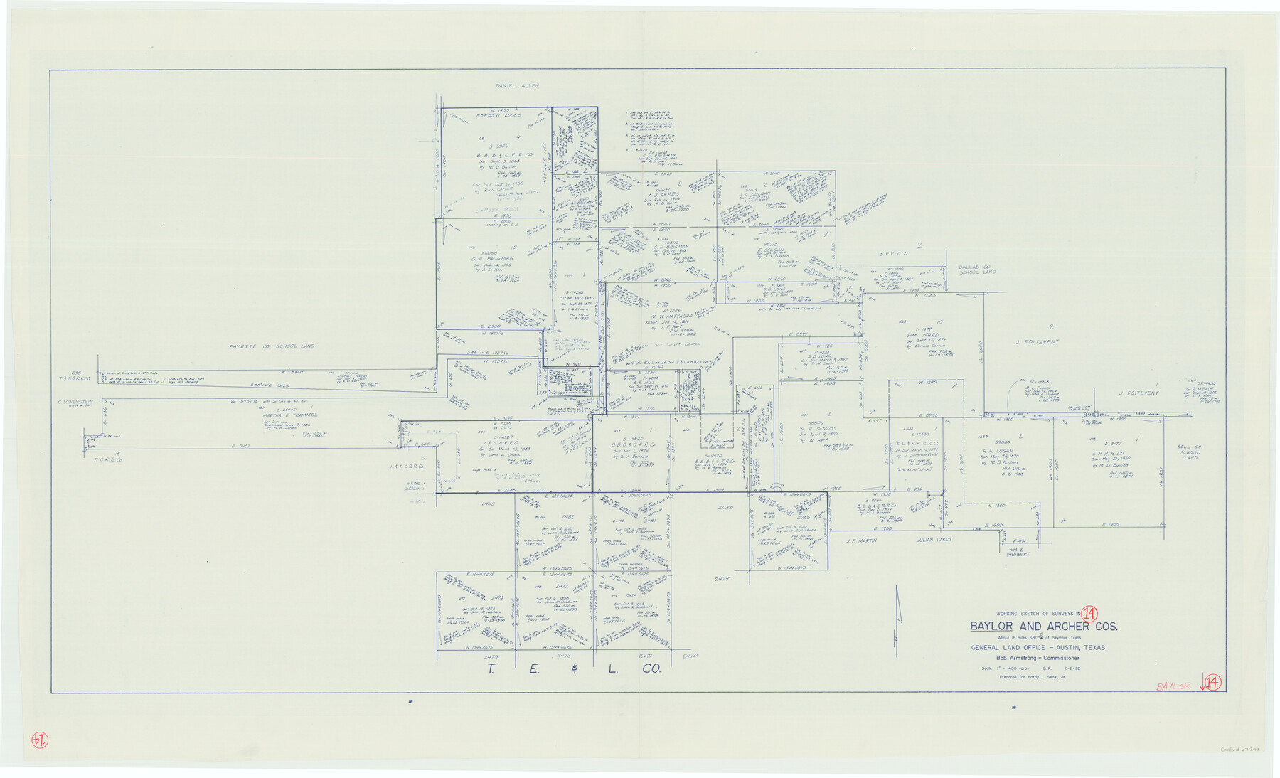
Baylor County Working Sketch 14
-
Map/Doc
67299
-
Collection
General Map Collection
-
Object Dates
2/2/1982 (Creation Date)
-
People and Organizations
Beverly Robison (Draftsman)
Bob Armstrong (GLO Commissioner)
-
Counties
Baylor Archer
-
Subjects
Surveying Working Sketch
-
Height x Width
33.5 x 55.1 inches
85.1 x 140.0 cm
-
Scale
1" = 400 varas
-
Comments
Surveys located about 18 miles South 80 degrees East of Seymour, Texas.
Part of: General Map Collection
Liberty County Working Sketch 21

Print $20.00
- Digital $50.00
Liberty County Working Sketch 21
1940
Size 20.1 x 15.0 inches
Map/Doc 70480
Texas Land Commissioner George P. Bush's Energy Map of Texas Showing Significant Events and Well & Pipeline Locations Between 1543 and 2015

Print $20.00
- Digital $50.00
Texas Land Commissioner George P. Bush's Energy Map of Texas Showing Significant Events and Well & Pipeline Locations Between 1543 and 2015
2015
Size 33.3 x 36.3 inches
Map/Doc 93978
Bell County Sketch File 26

Print $14.00
- Digital $50.00
Bell County Sketch File 26
1886
Size 14.2 x 8.8 inches
Map/Doc 14426
Somervell County Sketch File 7

Print $8.00
- Digital $50.00
Somervell County Sketch File 7
1987
Size 11.4 x 8.9 inches
Map/Doc 36850
Tarrant County Working Sketch 20

Print $20.00
- Digital $50.00
Tarrant County Working Sketch 20
1999
Size 15.4 x 16.8 inches
Map/Doc 62437
Duval County Sketch File 25

Print $8.00
- Digital $50.00
Duval County Sketch File 25
Size 11.4 x 9.1 inches
Map/Doc 21328
Jefferson County Rolled Sketch 64

Print $20.00
- Digital $50.00
Jefferson County Rolled Sketch 64
1982
Size 26.7 x 37.4 inches
Map/Doc 9319
Controlled Mosaic by Jack Amman Photogrammetric Engineers, Inc - Sheet 28

Print $20.00
- Digital $50.00
Controlled Mosaic by Jack Amman Photogrammetric Engineers, Inc - Sheet 28
1954
Size 21.1 x 24.1 inches
Map/Doc 83480
Nueces County Sketch File 64

Print $10.00
- Digital $50.00
Nueces County Sketch File 64
1979
Size 11.2 x 8.6 inches
Map/Doc 32975
Amistad International Reservoir on Rio Grande 70

Print $20.00
- Digital $50.00
Amistad International Reservoir on Rio Grande 70
1949
Size 28.4 x 39.7 inches
Map/Doc 73356
Gray County Boundary File 2

Print $8.00
- Digital $50.00
Gray County Boundary File 2
Size 14.2 x 8.6 inches
Map/Doc 53850
Blanco County Sketch File 31a

Print $4.00
- Digital $50.00
Blanco County Sketch File 31a
1889
Size 8.6 x 14.1 inches
Map/Doc 14631
You may also like
West Part of Liberty Co.

Print $20.00
- Digital $50.00
West Part of Liberty Co.
1977
Size 46.2 x 35.5 inches
Map/Doc 73220
New Map of San Antonio, Texas

Print $20.00
- Digital $50.00
New Map of San Antonio, Texas
1920
Size 17.2 x 14.2 inches
Map/Doc 97156
Williams Ranch Block D

Print $20.00
- Digital $50.00
Williams Ranch Block D
1953
Size 19.3 x 19.6 inches
Map/Doc 92850
Gaines County Working Sketch 11

Print $40.00
- Digital $50.00
Gaines County Working Sketch 11
1953
Size 68.4 x 33.4 inches
Map/Doc 69311
Orange County Sketch File 37

Print $8.00
- Digital $50.00
Orange County Sketch File 37
1950
Size 14.2 x 8.8 inches
Map/Doc 33374
San Patricio County

Print $40.00
- Digital $50.00
San Patricio County
1939
Size 39.3 x 48.3 inches
Map/Doc 73283
Donley County Sketch File 19

Print $20.00
- Digital $50.00
Donley County Sketch File 19
Size 20.4 x 8.4 inches
Map/Doc 11366

Map of Jefferson County

Print $20.00
- Digital $50.00
Map of Jefferson County
1840
Size 32.7 x 23.4 inches
Map/Doc 3725
Goliad County Sketch File 30

Print $40.00
- Digital $50.00
Goliad County Sketch File 30
Size 13.0 x 15.0 inches
Map/Doc 24327
Brewster County Working Sketch 36

Print $20.00
- Digital $50.00
Brewster County Working Sketch 36
1944
Size 22.7 x 42.3 inches
Map/Doc 67570
Lipscomb County Boundary File 2

Print $6.00
- Digital $50.00
Lipscomb County Boundary File 2
Size 11.1 x 8.6 inches
Map/Doc 56315