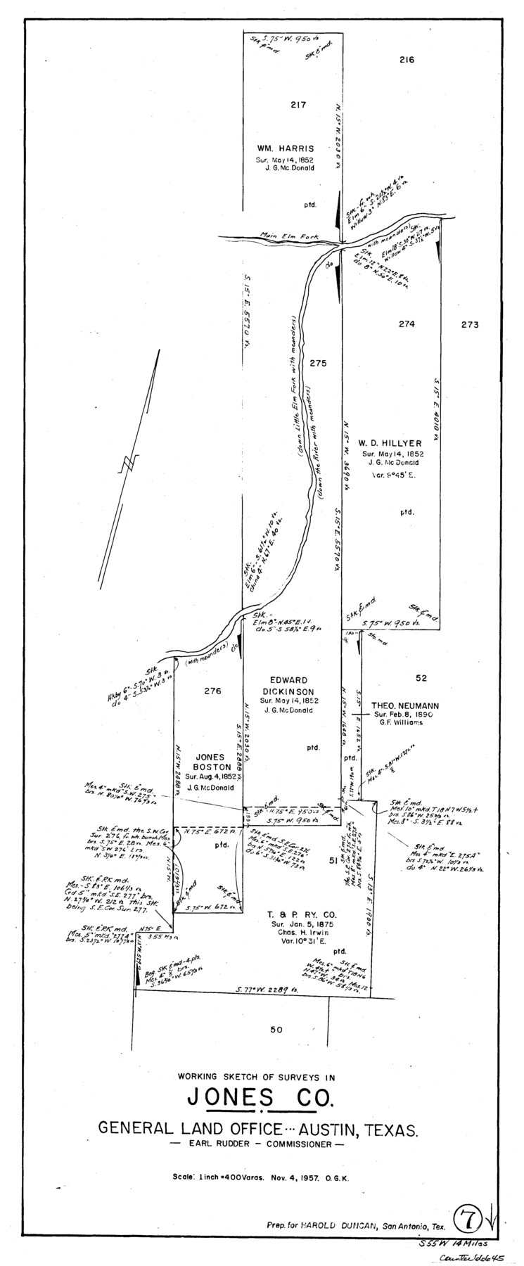
Jones County Working Sketch 7
-
Map/Doc
66645
-
Collection
General Map Collection
-
Object Dates
11/4/1957 (Creation Date)
-
People and Organizations
Otto G. Kurio (Draftsman)
-
Counties
Jones
-
Subjects
Surveying Working Sketch
-
Height x Width
30.8 x 12.7 inches
78.2 x 32.3 cm
-
Scale
1" = 400 varas
Part of: General Map Collection
Flight Mission No. DQO-7K, Frame 106, Galveston County

Print $20.00
- Digital $50.00
Flight Mission No. DQO-7K, Frame 106, Galveston County
1952
Size 18.5 x 22.6 inches
Map/Doc 85121
Upton County Working Sketch 8

Print $20.00
- Digital $50.00
Upton County Working Sketch 8
1916
Size 21.9 x 16.8 inches
Map/Doc 69504
Midland County Boundary File 3

Print $4.00
- Digital $50.00
Midland County Boundary File 3
Size 8.2 x 8.3 inches
Map/Doc 57174
Right of Way and Track Map Houston & Texas Central R.R. operated by the T. & N.O. R.R. Co., Austin Branch

Print $40.00
- Digital $50.00
Right of Way and Track Map Houston & Texas Central R.R. operated by the T. & N.O. R.R. Co., Austin Branch
1918
Size 26.0 x 57.9 inches
Map/Doc 64557
Presidio County Working Sketch 123

Print $20.00
- Digital $50.00
Presidio County Working Sketch 123
1984
Size 39.5 x 17.7 inches
Map/Doc 71801
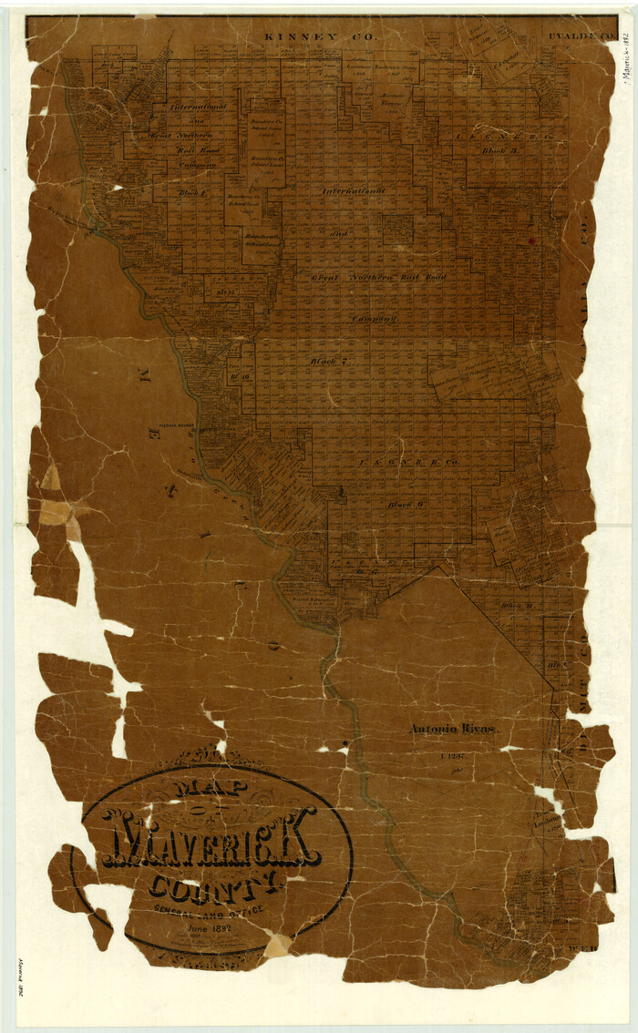
Map of Maverick County
Print $20.00
- Digital $50.00
Map of Maverick County
1892
Size 34.4 x 21.2 inches
Map/Doc 3852
Chambers County Rolled Sketch 25A

Print $20.00
- Digital $50.00
Chambers County Rolled Sketch 25A
1944
Size 41.2 x 34.5 inches
Map/Doc 8617
Yoakum County Boundary File 1b

Print $2.00
- Digital $50.00
Yoakum County Boundary File 1b
Size 14.4 x 9.0 inches
Map/Doc 60197
Fisher County Sketch File 7

Print $4.00
- Digital $50.00
Fisher County Sketch File 7
1893
Size 14.6 x 9.1 inches
Map/Doc 22565
Township 1 North Range 11 West, North Western District, Louisiana

Print $3.00
- Digital $50.00
Township 1 North Range 11 West, North Western District, Louisiana
1884
Size 17.5 x 21.5 inches
Map/Doc 65892
Neches River, Blackburn Bridge Sheet

Print $4.00
- Digital $50.00
Neches River, Blackburn Bridge Sheet
1938
Size 27.6 x 20.5 inches
Map/Doc 65083
Flight Mission No. BQR-16K, Frame 34, Brazoria County

Print $20.00
- Digital $50.00
Flight Mission No. BQR-16K, Frame 34, Brazoria County
1952
Size 18.7 x 22.4 inches
Map/Doc 84101
You may also like
Polk County Rolled Sketch 27

Print $20.00
- Digital $50.00
Polk County Rolled Sketch 27
1944
Size 21.1 x 26.6 inches
Map/Doc 7315
Edwards County Working Sketch 23

Print $20.00
- Digital $50.00
Edwards County Working Sketch 23
1940
Size 24.0 x 25.6 inches
Map/Doc 68899
Plat of Resurvey of Section 36, T. 4S., R. 14W., Indian Meridian, Oklahoma

Print $4.00
- Digital $50.00
Plat of Resurvey of Section 36, T. 4S., R. 14W., Indian Meridian, Oklahoma
1917
Size 18.1 x 22.6 inches
Map/Doc 75152
Pecos County Rolled Sketch 143

Print $74.00
- Digital $50.00
Pecos County Rolled Sketch 143
1935
Size 14.8 x 9.4 inches
Map/Doc 48359
Val Verde County Working Sketch 108

Print $20.00
- Digital $50.00
Val Verde County Working Sketch 108
1988
Size 31.1 x 41.3 inches
Map/Doc 72243
Flight Mission No. CRC-4R, Frame 75, Chambers County

Print $20.00
- Digital $50.00
Flight Mission No. CRC-4R, Frame 75, Chambers County
1956
Size 18.6 x 22.3 inches
Map/Doc 84879
Flight Mission No. DQO-11K, Frame 17, Galveston County

Print $20.00
- Digital $50.00
Flight Mission No. DQO-11K, Frame 17, Galveston County
1952
Size 18.7 x 22.4 inches
Map/Doc 85210
A new map for travellers through the United States of America showing the railroads, canals & stageroads with the distances

Print $20.00
- Digital $50.00
A new map for travellers through the United States of America showing the railroads, canals & stageroads with the distances
1846
Size 22.4 x 27.9 inches
Map/Doc 95921
Kenedy County Boundary File 2a

Print $22.00
- Digital $50.00
Kenedy County Boundary File 2a
Size 14.7 x 40.9 inches
Map/Doc 55793
Map of Texas Gulf Coast and Continental Shelf showing Natural Gas Pipe Lines

Print $40.00
- Digital $50.00
Map of Texas Gulf Coast and Continental Shelf showing Natural Gas Pipe Lines
1979
Size 40.9 x 59.3 inches
Map/Doc 75905
Chambers County Working Sketch 7

Print $20.00
- Digital $50.00
Chambers County Working Sketch 7
1939
Size 30.6 x 39.6 inches
Map/Doc 67990
Deaf Smith County Sketch File D

Print $20.00
- Digital $50.00
Deaf Smith County Sketch File D
Size 12.6 x 27.7 inches
Map/Doc 11306