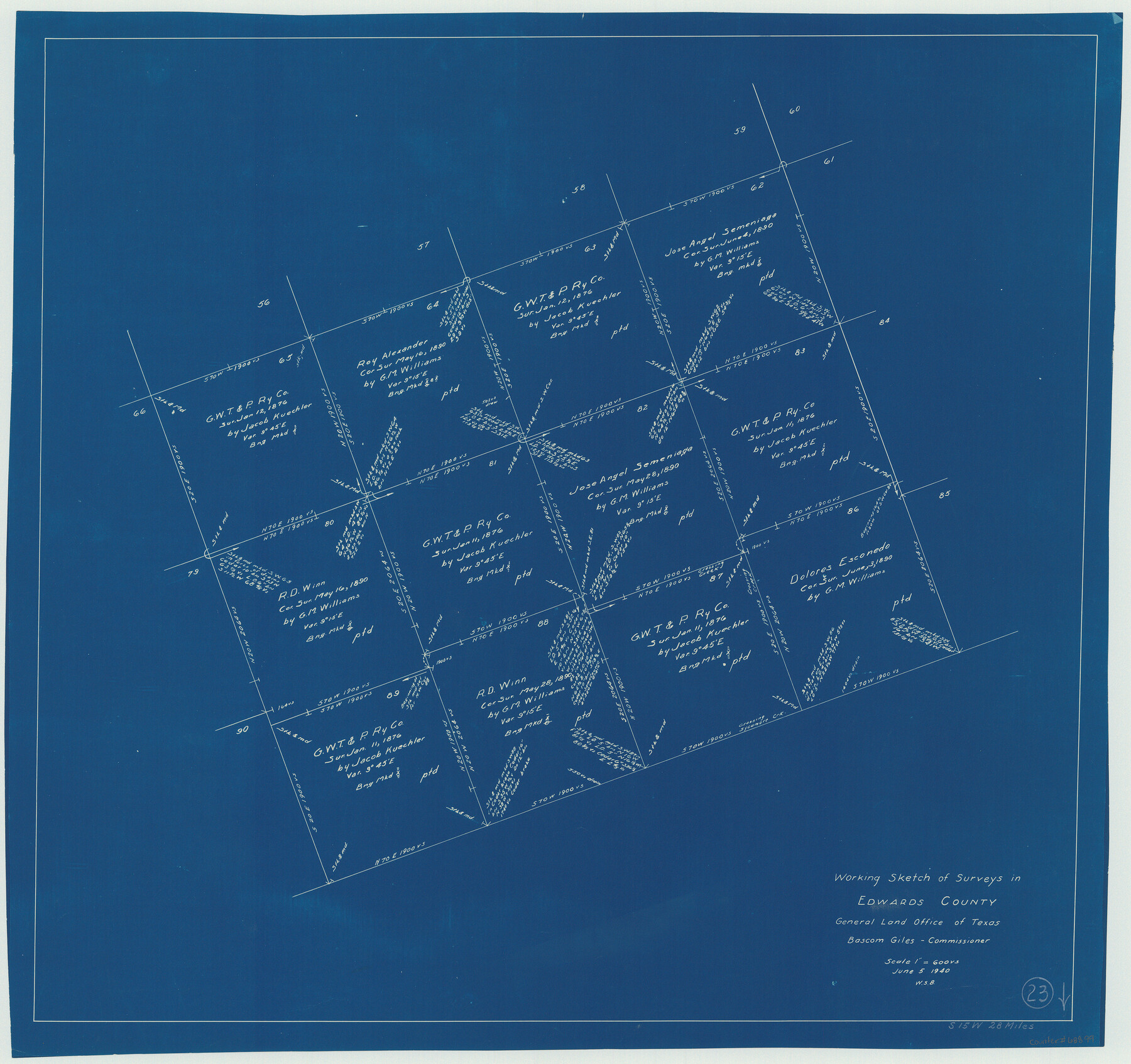
Edwards County Working Sketch 23
-
Map/Doc
68899
-
Collection
General Map Collection
-
Object Dates
6/5/1940 (Creation Date)
-
People and Organizations
W. S. Brewington (Draftsman)
-
Counties
Edwards
-
Subjects
Surveying Working Sketch
-
Height x Width
24.0 x 25.6 inches
61.0 x 65.0 cm
-
Scale
1" = 600 varas
Part of: General Map Collection
La Salle County Working Sketch 23

Print $20.00
- Digital $50.00
La Salle County Working Sketch 23
1947
Size 30.5 x 31.6 inches
Map/Doc 70324
Guadalupe County Sketch File 8

Print $7.00
- Digital $50.00
Guadalupe County Sketch File 8
1871
Size 10.4 x 8.3 inches
Map/Doc 24674
Kimble County Sketch File L1

Print $22.00
- Digital $50.00
Kimble County Sketch File L1
Size 7.1 x 13.1 inches
Map/Doc 28967
Harris County Working Sketch 27

Print $20.00
- Digital $50.00
Harris County Working Sketch 27
1933
Size 36.9 x 43.0 inches
Map/Doc 65919
Chambers County Sketch File 24

Print $20.00
- Digital $50.00
Chambers County Sketch File 24
1909
Size 34.1 x 14.5 inches
Map/Doc 11065
Gregg County Rolled Sketch 12

Print $40.00
- Digital $50.00
Gregg County Rolled Sketch 12
1939
Size 49.5 x 55.5 inches
Map/Doc 9065
Galveston County Working Sketch 8

Print $20.00
- Digital $50.00
Galveston County Working Sketch 8
1939
Size 43.4 x 39.6 inches
Map/Doc 69345
Fannin County Sketch File 4

Print $4.00
- Digital $50.00
Fannin County Sketch File 4
Size 9.9 x 8.0 inches
Map/Doc 22449
Flight Mission No. BRA-16M, Frame 148, Jefferson County

Print $20.00
- Digital $50.00
Flight Mission No. BRA-16M, Frame 148, Jefferson County
1953
Size 18.5 x 22.2 inches
Map/Doc 85754
Dallas County Sketch File 19

Print $20.00
- Digital $50.00
Dallas County Sketch File 19
Size 17.1 x 17.9 inches
Map/Doc 11287
Sterling County Rolled Sketch 35

Print $20.00
- Digital $50.00
Sterling County Rolled Sketch 35
1960
Size 20.8 x 21.8 inches
Map/Doc 7859
Tarrant County Sketch File 1a

Print $4.00
- Digital $50.00
Tarrant County Sketch File 1a
1851
Size 10.2 x 7.8 inches
Map/Doc 37670
You may also like
Montague County Sketch File 1

Print $40.00
- Digital $50.00
Montague County Sketch File 1
1852
Size 19.4 x 12.4 inches
Map/Doc 31709
[Jack District Map]
![1991, [Jack District Map], General Map Collection](https://historictexasmaps.com/wmedia_w700/maps/1991.tif.jpg)
Print $20.00
- Digital $50.00
[Jack District Map]
1877
Size 46.4 x 35.8 inches
Map/Doc 1991
Zavala County Sketch File 1

Print $20.00
- Digital $50.00
Zavala County Sketch File 1
Size 28.5 x 22.7 inches
Map/Doc 12725
Galveston County NRC Article 33.136 Location Key Sheet

Print $20.00
- Digital $50.00
Galveston County NRC Article 33.136 Location Key Sheet
1974
Size 27.0 x 23.0 inches
Map/Doc 77022
Uvalde County Rolled Sketch 19

Print $20.00
- Digital $50.00
Uvalde County Rolled Sketch 19
Size 21.9 x 20.2 inches
Map/Doc 8103

Angelina County Working Sketch 48

Print $20.00
- Digital $50.00
Angelina County Working Sketch 48
1980
Size 33.5 x 38.9 inches
Map/Doc 67131
McLennan County Sketch File 14

Print $4.00
- Digital $50.00
McLennan County Sketch File 14
1872
Size 12.4 x 7.9 inches
Map/Doc 31272
Gaines County Sketch File 1

Print $20.00
- Digital $50.00
Gaines County Sketch File 1
Size 19.1 x 30.7 inches
Map/Doc 11521
Republic of Texas and Boundaries as Claimed by Texas from Decr. 19th, 1836 to Novr. 25th, 1850

Print $20.00
- Digital $50.00
Republic of Texas and Boundaries as Claimed by Texas from Decr. 19th, 1836 to Novr. 25th, 1850
Size 18.4 x 20.8 inches
Map/Doc 92063
El Paso County State Real Property Sketch 3

Print $20.00
- Digital $50.00
El Paso County State Real Property Sketch 3
2012
Size 25.1 x 36.4 inches
Map/Doc 93700
Flight Mission No. CUG-3P, Frame 139, Kleberg County

Print $20.00
- Digital $50.00
Flight Mission No. CUG-3P, Frame 139, Kleberg County
1956
Size 18.6 x 22.4 inches
Map/Doc 86274