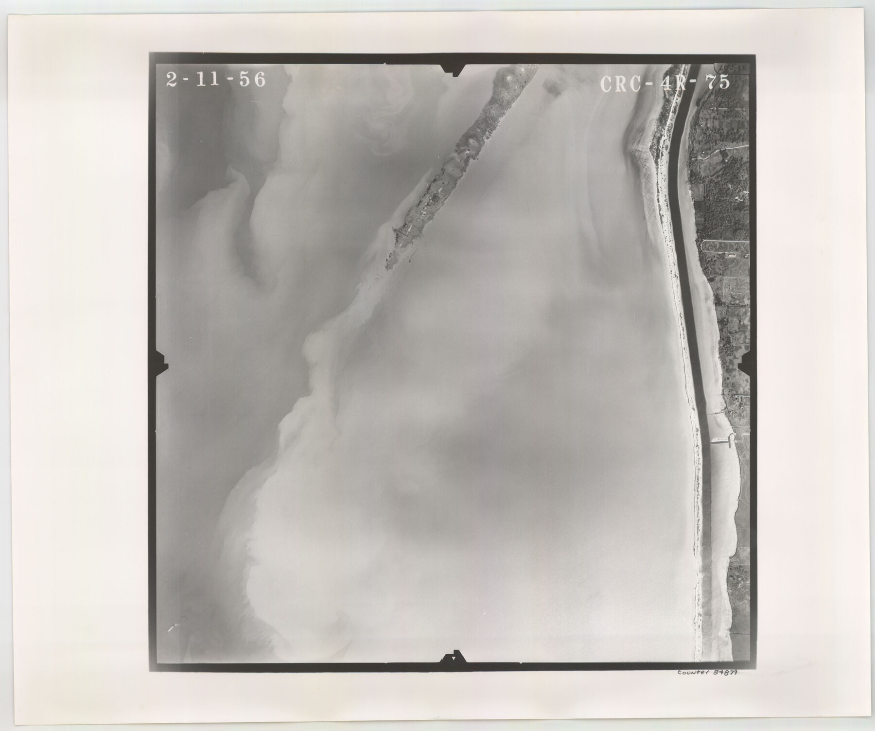
Flight Mission No. CRC-4R, Frame 75, Chambers County
CRC-4R-75
-
Map/Doc
84879
-
Collection
General Map Collection
-
Object Dates
1956/2/11 (Creation Date)
-
People and Organizations
U. S. Department of Agriculture (Publisher)
-
Counties
Chambers
-
Subjects
Aerial Photograph
-
Height x Width
18.6 x 22.3 inches
47.2 x 56.6 cm
-
Comments
Flown by Jack Ammann Photogrammetric Engineers, Inc. of San Antonio, Texas.
Part of: General Map Collection
McMullen County Working Sketch 23

Print $20.00
- Digital $50.00
McMullen County Working Sketch 23
1950
Size 37.6 x 33.2 inches
Map/Doc 70724
Jeff Davis County Rolled Sketch 8

Print $20.00
- Digital $50.00
Jeff Davis County Rolled Sketch 8
Size 40.0 x 41.6 inches
Map/Doc 9264
Tarrant County Sketch File 21a

Print $4.00
- Digital $50.00
Tarrant County Sketch File 21a
1859
Size 8.0 x 8.1 inches
Map/Doc 37727
Irion County Rolled Sketch 9

Print $20.00
- Digital $50.00
Irion County Rolled Sketch 9
1940
Size 31.9 x 30.6 inches
Map/Doc 6321
Flight Mission No. BRE-1P, Frame 45, Nueces County

Print $20.00
- Digital $50.00
Flight Mission No. BRE-1P, Frame 45, Nueces County
1956
Size 16.5 x 16.1 inches
Map/Doc 86634
Lampasas County Boundary File 15

Print $14.00
- Digital $50.00
Lampasas County Boundary File 15
Size 8.8 x 6.6 inches
Map/Doc 56203
Flight Mission No. DQN-2K, Frame 4, Calhoun County

Print $20.00
- Digital $50.00
Flight Mission No. DQN-2K, Frame 4, Calhoun County
1953
Size 18.4 x 22.2 inches
Map/Doc 84221
[Sketch for Mineral Application 13436 - 13441]
![65582, [Sketch for Mineral Application 13436 - 13441], General Map Collection](https://historictexasmaps.com/wmedia_w700/maps/65582.tif.jpg)
Print $40.00
- Digital $50.00
[Sketch for Mineral Application 13436 - 13441]
1925
Size 56.8 x 42.5 inches
Map/Doc 65582
Collin County State Real Property Sketch 1

Print $20.00
- Digital $50.00
Collin County State Real Property Sketch 1
2006
Size 24.1 x 35.1 inches
Map/Doc 88634
Map of Leon County

Print $20.00
- Digital $50.00
Map of Leon County
1871
Size 23.6 x 21.2 inches
Map/Doc 3808
San Patricio County Aerial Photograph Index Sheet 3

Print $20.00
- Digital $50.00
San Patricio County Aerial Photograph Index Sheet 3
1957
Size 19.1 x 24.0 inches
Map/Doc 83745
Hemphill County

Print $20.00
- Digital $50.00
Hemphill County
1932
Size 39.9 x 36.6 inches
Map/Doc 73177
You may also like
[E. L. & R.R. Block 1, G. C. & S. F. Blocks 1 & 2, T. R. R. Block 4]
![91280, [E. L. & R.R. Block 1, G. C. & S. F. Blocks 1 & 2, T. R. R. Block 4], Twichell Survey Records](https://historictexasmaps.com/wmedia_w700/maps/91280-1.tif.jpg)
Print $20.00
- Digital $50.00
[E. L. & R.R. Block 1, G. C. & S. F. Blocks 1 & 2, T. R. R. Block 4]
Size 8.7 x 19.3 inches
Map/Doc 91280
Harris County Sketch File 23

Print $4.00
- Digital $50.00
Harris County Sketch File 23
Size 8.5 x 6.2 inches
Map/Doc 25377
Denton County Sketch File 24

Print $40.00
- Digital $50.00
Denton County Sketch File 24
1862
Size 12.2 x 15.1 inches
Map/Doc 20750
Schleicher County Rolled Sketch 3

Print $20.00
- Digital $50.00
Schleicher County Rolled Sketch 3
1890
Size 41.5 x 31.2 inches
Map/Doc 8362
Township No. 1 North Range No. 27 West Indian Meridian

Print $20.00
- Digital $50.00
Township No. 1 North Range No. 27 West Indian Meridian
1875
Size 19.3 x 24.6 inches
Map/Doc 75170

Tom Green County Boundary File 87

Print $10.00
- Digital $50.00
Tom Green County Boundary File 87
Size 9.1 x 4.0 inches
Map/Doc 59393
Midland County

Print $20.00
- Digital $50.00
Midland County
1930
Size 45.7 x 39.6 inches
Map/Doc 66930
Brewster County Rolled Sketch 47

Print $20.00
- Digital $50.00
Brewster County Rolled Sketch 47
1930
Size 18.1 x 41.0 inches
Map/Doc 5223
Henderson County Working Sketch 34

Print $20.00
- Digital $50.00
Henderson County Working Sketch 34
1965
Size 22.9 x 35.8 inches
Map/Doc 66167
Atascosa County Boundary File 4

Print $80.00
- Digital $50.00
Atascosa County Boundary File 4
Size 30.6 x 59.2 inches
Map/Doc 50177
Hamilton County Working Sketch 24

Print $20.00
- Digital $50.00
Hamilton County Working Sketch 24
1979
Size 34.7 x 33.6 inches
Map/Doc 63362