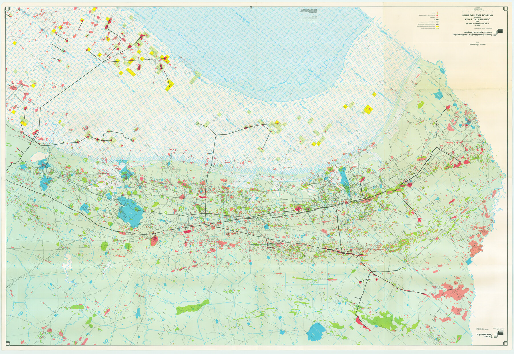
Map of Texas Gulf Coast and Continental Shelf showing Natural Gas Pipe Lines
-
Map/Doc
75905
-
Collection
General Map Collection
-
Object Dates
1979 (Creation Date)
-
Subjects
Energy Offshore Submerged Area
-
Height x Width
40.9 x 59.3 inches
103.9 x 150.6 cm
-
Comments
Prepared by Miles F. Stanley and Robert W. Evans.
Part of: General Map Collection
Bandera County Sketch File 33

Print $40.00
- Digital $50.00
Bandera County Sketch File 33
1975
Size 14.4 x 17.5 inches
Map/Doc 14028
Lynn County Sketch File 1

Print $8.00
- Digital $50.00
Lynn County Sketch File 1
1892
Size 14.0 x 8.8 inches
Map/Doc 30443
San Jacinto County Sketch File 1

Print $22.00
San Jacinto County Sketch File 1
1852
Size 7.9 x 12.4 inches
Map/Doc 35694
Flight Mission No. DAG-17K, Frame 123, Matagorda County

Print $20.00
- Digital $50.00
Flight Mission No. DAG-17K, Frame 123, Matagorda County
1952
Size 18.6 x 22.3 inches
Map/Doc 86343
[Location Survey of the Southern Kansas Railway, Kiowa Extension from a point in Drake's Location, in Indian Territory 100 miles from south line of Kansas, continuing up Wolf Creek and South Canadian River to Cottonwood Creek in Hutchinson County]
![88841, [Location Survey of the Southern Kansas Railway, Kiowa Extension from a point in Drake's Location, in Indian Territory 100 miles from south line of Kansas, continuing up Wolf Creek and South Canadian River to Cottonwood Creek in Hutchinson County], General Map Collection](https://historictexasmaps.com/wmedia_w700/maps/88841.tif.jpg)
Print $20.00
- Digital $50.00
[Location Survey of the Southern Kansas Railway, Kiowa Extension from a point in Drake's Location, in Indian Territory 100 miles from south line of Kansas, continuing up Wolf Creek and South Canadian River to Cottonwood Creek in Hutchinson County]
1886
Size 39.1 x 42.0 inches
Map/Doc 88841
Tyler County Sketch File 22

Print $4.00
- Digital $50.00
Tyler County Sketch File 22
Size 8.5 x 9.3 inches
Map/Doc 38679
A Geographically Correct Map of the State of Texas

Print $20.00
- Digital $50.00
A Geographically Correct Map of the State of Texas
1876
Size 20.0 x 21.5 inches
Map/Doc 93397
Jefferson County Working Sketch 24

Print $20.00
- Digital $50.00
Jefferson County Working Sketch 24
1977
Size 28.4 x 44.5 inches
Map/Doc 66567
[Surveys along Richland Creek]
![322, [Surveys along Richland Creek], General Map Collection](https://historictexasmaps.com/wmedia_w700/maps/322.tif.jpg)
Print $2.00
- Digital $50.00
[Surveys along Richland Creek]
Size 6.0 x 5.0 inches
Map/Doc 322
Flight Mission No. DIX-3P, Frame 134, Aransas County

Print $20.00
- Digital $50.00
Flight Mission No. DIX-3P, Frame 134, Aransas County
1956
Size 17.8 x 19.0 inches
Map/Doc 83764
Scurry County Working Sketch 10

Print $20.00
- Digital $50.00
Scurry County Working Sketch 10
1990
Size 25.7 x 28.7 inches
Map/Doc 63839
Gulf Intracoastal Waterway - Texas Erosion at the West End of Bolivar Peninsula Comparative Shorelines

Print $20.00
- Digital $50.00
Gulf Intracoastal Waterway - Texas Erosion at the West End of Bolivar Peninsula Comparative Shorelines
1950
Size 29.0 x 40.3 inches
Map/Doc 61826
You may also like
Kimble County Rolled Sketch 33

Print $20.00
- Digital $50.00
Kimble County Rolled Sketch 33
1973
Size 26.7 x 20.1 inches
Map/Doc 6523
Flight Mission No. BRE-2P, Frame 64, Nueces County

Print $20.00
- Digital $50.00
Flight Mission No. BRE-2P, Frame 64, Nueces County
1956
Size 18.5 x 22.6 inches
Map/Doc 86759
Crane County Working Sketch 16

Print $20.00
- Digital $50.00
Crane County Working Sketch 16
1955
Size 42.8 x 22.0 inches
Map/Doc 68293
Flight Mission No. DQO-2K, Frame 98, Galveston County

Print $20.00
- Digital $50.00
Flight Mission No. DQO-2K, Frame 98, Galveston County
1952
Size 18.9 x 22.4 inches
Map/Doc 85025
A general map of Great Britain and Ireland with part of Holland, Flanders, France & agreable to modern history

Print $20.00
A general map of Great Britain and Ireland with part of Holland, Flanders, France & agreable to modern history
1750
Size 21.6 x 25.7 inches
Map/Doc 97435
Culberson County Sketch File 4a

Print $10.00
- Digital $50.00
Culberson County Sketch File 4a
Size 9.2 x 7.9 inches
Map/Doc 20131
Hartley County Sketch File 1

Print $40.00
- Digital $50.00
Hartley County Sketch File 1
Size 9.7 x 18.4 inches
Map/Doc 11696
Wilbarger County Sketch File 26

Print $4.00
- Digital $50.00
Wilbarger County Sketch File 26
1885
Size 14.3 x 8.6 inches
Map/Doc 40227
Bosque County Sketch File 3

Print $40.00
- Digital $50.00
Bosque County Sketch File 3
1848
Size 16.1 x 12.4 inches
Map/Doc 14742
El Paso County Rolled Sketch 48

Print $20.00
- Digital $50.00
El Paso County Rolled Sketch 48
1960
Size 15.4 x 18.3 inches
Map/Doc 5834
Map of Public Land on Mustang Island

Print $20.00
- Digital $50.00
Map of Public Land on Mustang Island
Size 21.9 x 17.5 inches
Map/Doc 82315
[Sketch for Mineral Application 27670 - Strip between Simon Sanchez leagues and Trinity River]
![65646, [Sketch for Mineral Application 27670 - Strip between Simon Sanchez leagues and Trinity River], General Map Collection](https://historictexasmaps.com/wmedia_w700/maps/65646.tif.jpg)
Print $40.00
- Digital $50.00
[Sketch for Mineral Application 27670 - Strip between Simon Sanchez leagues and Trinity River]
Size 55.5 x 17.8 inches
Map/Doc 65646