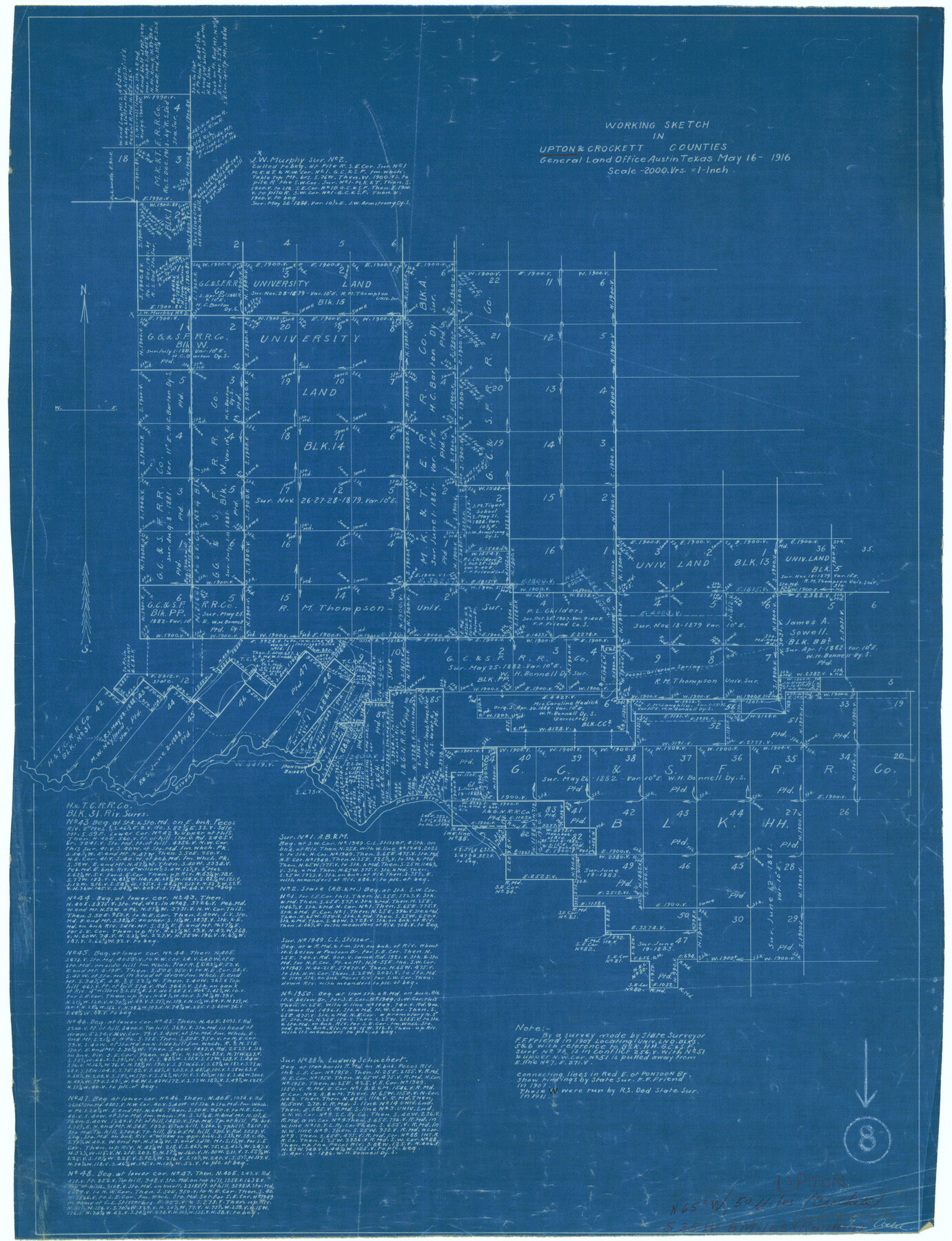
Upton County Working Sketch 8
-
Map/Doc
69504
-
Collection
General Map Collection
-
Object Dates
5/16/1916 (Creation Date)
-
Counties
Upton Crockett
-
Subjects
Surveying Working Sketch
-
Height x Width
21.9 x 16.8 inches
55.6 x 42.7 cm
-
Scale
1" = 2000 varas
Part of: General Map Collection
Upton County Sketch File 40a

Print $40.00
- Digital $50.00
Upton County Sketch File 40a
1963
Size 11.2 x 18.3 inches
Map/Doc 38917
Bailey County Sketch File B

Print $40.00
- Digital $50.00
Bailey County Sketch File B
Size 14.5 x 20.4 inches
Map/Doc 10891
Hardeman County Rolled Sketch 14

Print $40.00
- Digital $50.00
Hardeman County Rolled Sketch 14
1884
Size 23.9 x 59.2 inches
Map/Doc 9099
Map of Copano, St. Charles, Aransas & Red Fish Bays in Aransas & Nueces Counties showing subdivision thereof for Mineral Development

Print $20.00
- Digital $50.00
Map of Copano, St. Charles, Aransas & Red Fish Bays in Aransas & Nueces Counties showing subdivision thereof for Mineral Development
1948
Size 35.9 x 34.0 inches
Map/Doc 2923
Flight Mission No. DAG-21K, Frame 107, Matagorda County

Print $20.00
- Digital $50.00
Flight Mission No. DAG-21K, Frame 107, Matagorda County
1952
Size 18.6 x 22.4 inches
Map/Doc 86435
Flight Mission No. CRC-2R, Frame 184, Chambers County

Print $20.00
- Digital $50.00
Flight Mission No. CRC-2R, Frame 184, Chambers County
1956
Size 18.6 x 22.2 inches
Map/Doc 84762
[Surveys in Liberty County]
![69750, [Surveys in Liberty County], General Map Collection](https://historictexasmaps.com/wmedia_w700/maps/69750.tif.jpg)
Print $2.00
- Digital $50.00
[Surveys in Liberty County]
Size 5.8 x 9.3 inches
Map/Doc 69750
Flight Mission No. DJV-3P, Frame 13, Ellis County

Print $20.00
- Digital $50.00
Flight Mission No. DJV-3P, Frame 13, Ellis County
1956
Size 18.6 x 22.2 inches
Map/Doc 84975

Flight Mission No. CUG-3P, Frame 39, Kleberg County

Print $20.00
- Digital $50.00
Flight Mission No. CUG-3P, Frame 39, Kleberg County
1956
Size 18.4 x 22.2 inches
Map/Doc 86244
Hood County Boundary File 40

Print $44.00
- Digital $50.00
Hood County Boundary File 40
Size 14.4 x 8.8 inches
Map/Doc 55019
Stonewall County Working Sketch 10

Print $20.00
- Digital $50.00
Stonewall County Working Sketch 10
1950
Size 16.8 x 22.8 inches
Map/Doc 62317
You may also like
Map of Central Europe engraved to illustrate Mitchell's new intermediate geography

Print $20.00
- Digital $50.00
Map of Central Europe engraved to illustrate Mitchell's new intermediate geography
1885
Size 9.0 x 12.2 inches
Map/Doc 93528
Burnet County Sketch File 23

Print $8.00
- Digital $50.00
Burnet County Sketch File 23
1853
Size 9.0 x 10.9 inches
Map/Doc 16718
Pecos County Rolled Sketch 64

Print $20.00
- Digital $50.00
Pecos County Rolled Sketch 64
Size 16.4 x 26.5 inches
Map/Doc 7235
Fayette County

Print $40.00
- Digital $50.00
Fayette County
1978
Size 43.6 x 56.1 inches
Map/Doc 95496
La Salle County Working Sketch 22

Print $20.00
- Digital $50.00
La Salle County Working Sketch 22
1942
Size 36.2 x 29.2 inches
Map/Doc 70323
Kendall County Working Sketch 11

Print $20.00
- Digital $50.00
Kendall County Working Sketch 11
1954
Size 34.0 x 24.8 inches
Map/Doc 66683
Brewster County Working Sketch 57

Print $20.00
- Digital $50.00
Brewster County Working Sketch 57
1954
Size 19.6 x 20.8 inches
Map/Doc 67658
Dawson County Rolled Sketch 13

Print $20.00
- Digital $50.00
Dawson County Rolled Sketch 13
1951
Size 18.9 x 25.4 inches
Map/Doc 5696
General Highway Map, Hale County, Texas

Print $20.00
General Highway Map, Hale County, Texas
1940
Size 24.8 x 18.4 inches
Map/Doc 79108
Hockley County Sketch Mineral Application Number 38245

Print $20.00
- Digital $50.00
Hockley County Sketch Mineral Application Number 38245
1946
Size 40.6 x 18.5 inches
Map/Doc 92243
Martin County Working Sketch 7

Print $20.00
- Digital $50.00
Martin County Working Sketch 7
1971
Size 43.0 x 31.3 inches
Map/Doc 70825
