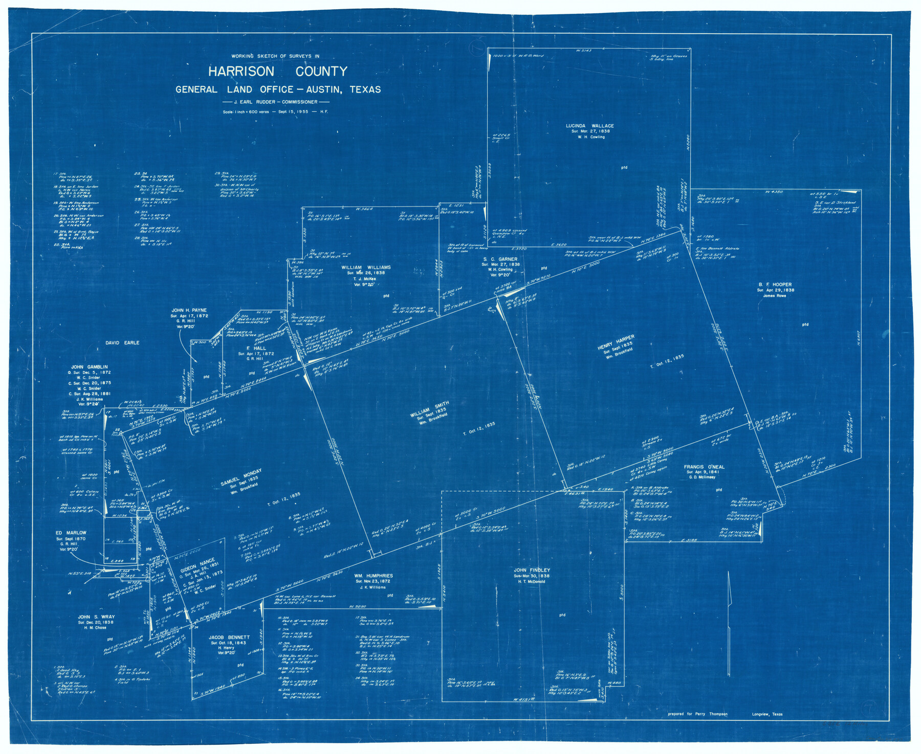
Harrison County Working Sketch 7
-
Map/Doc
66027
-
Collection
General Map Collection
-
Object Dates
9/15/1955 (Creation Date)
-
People and Organizations
Herman Forbes (Draftsman)
-
Counties
Harrison
-
Subjects
Surveying Working Sketch
-
Height x Width
32.0 x 39.0 inches
81.3 x 99.1 cm
-
Scale
1" = 600 varas
Part of: General Map Collection
Lee County Rolled Sketch 2

Print $20.00
- Digital $50.00
Lee County Rolled Sketch 2
1976
Size 25.9 x 34.4 inches
Map/Doc 6593
Runnels County Working Sketch 1

Print $20.00
- Digital $50.00
Runnels County Working Sketch 1
Size 15.9 x 14.4 inches
Map/Doc 63597
Capitol Land Reservation

Print $20.00
- Digital $50.00
Capitol Land Reservation
1880
Size 43.7 x 34.2 inches
Map/Doc 10745
Brazoria County Sketch File 10a

Print $50.00
- Digital $50.00
Brazoria County Sketch File 10a
1912
Size 7.1 x 8.7 inches
Map/Doc 14940
Presidio County Sketch File 5

Print $4.00
- Digital $50.00
Presidio County Sketch File 5
1872
Size 12.9 x 8.2 inches
Map/Doc 34433
Flight Mission No. CRC-4R, Frame 151, Chambers County

Print $20.00
- Digital $50.00
Flight Mission No. CRC-4R, Frame 151, Chambers County
1956
Size 18.8 x 22.4 inches
Map/Doc 84914
Map of Henderson County

Print $20.00
- Digital $50.00
Map of Henderson County
1877
Size 17.7 x 29.2 inches
Map/Doc 3666
Trinity River, Branch Sheet/East Fork of Trinity River

Print $20.00
- Digital $50.00
Trinity River, Branch Sheet/East Fork of Trinity River
1931
Size 41.4 x 19.6 inches
Map/Doc 65240
No. 1 - Survey for a road from the Brazo Santiago to the Rio Grande

Print $20.00
- Digital $50.00
No. 1 - Survey for a road from the Brazo Santiago to the Rio Grande
1847
Size 18.3 x 27.1 inches
Map/Doc 72876
Jim Hogg County Rolled Sketch F

Print $20.00
- Digital $50.00
Jim Hogg County Rolled Sketch F
1930
Size 24.5 x 28.9 inches
Map/Doc 6445
Presidio County Working Sketch 51

Print $20.00
- Digital $50.00
Presidio County Working Sketch 51
1953
Size 33.4 x 43.1 inches
Map/Doc 71728
Cottle County

Print $20.00
- Digital $50.00
Cottle County
1908
Size 45.0 x 41.0 inches
Map/Doc 66789
You may also like
Rockwall County

Print $20.00
- Digital $50.00
Rockwall County
1941
Size 28.7 x 23.0 inches
Map/Doc 73277
Runnels County

Print $40.00
- Digital $50.00
Runnels County
1948
Size 48.8 x 38.8 inches
Map/Doc 73278
Flight Mission No. DCL-5C, Frame 25, Kenedy County

Print $20.00
- Digital $50.00
Flight Mission No. DCL-5C, Frame 25, Kenedy County
1943
Size 18.4 x 22.3 inches
Map/Doc 85837
Brazoria County Working Sketch 35

Print $40.00
- Digital $50.00
Brazoria County Working Sketch 35
1981
Size 43.5 x 66.2 inches
Map/Doc 67520
Flight Mission No. DQO-8K, Frame 80, Galveston County

Print $20.00
- Digital $50.00
Flight Mission No. DQO-8K, Frame 80, Galveston County
1952
Size 18.8 x 22.5 inches
Map/Doc 85184
[H. & T. C. Block 47, East Line and Red River RR. Co. Block Z and vicinity]
![92974, [H. & T. C. Block 47, East Line and Red River RR. Co. Block Z and vicinity], Twichell Survey Records](https://historictexasmaps.com/wmedia_w700/maps/92974-1.tif.jpg)
Print $20.00
- Digital $50.00
[H. & T. C. Block 47, East Line and Red River RR. Co. Block Z and vicinity]
Size 17.4 x 14.0 inches
Map/Doc 92974
Flight Mission No. CGI-3N, Frame 123, Cameron County

Print $20.00
- Digital $50.00
Flight Mission No. CGI-3N, Frame 123, Cameron County
1954
Size 18.6 x 22.2 inches
Map/Doc 84596
Galveston County Sketch File 2a

Print $4.00
- Digital $50.00
Galveston County Sketch File 2a
1848
Size 14.3 x 8.8 inches
Map/Doc 23350
[Location St. L. & S. W. R. R. Through Cherokee County]
![64042, [Location St. L. & S. W. R. R. Through Cherokee County], General Map Collection](https://historictexasmaps.com/wmedia_w700/maps/64042-1.tif.jpg)
Print $40.00
- Digital $50.00
[Location St. L. & S. W. R. R. Through Cherokee County]
Size 92.0 x 39.9 inches
Map/Doc 64042
[Map of Tom Green County]
![82061, [Map of Tom Green County], General Map Collection](https://historictexasmaps.com/wmedia_w700/maps/82061.tif.jpg)
Print $40.00
- Digital $50.00
[Map of Tom Green County]
1933
Size 50.0 x 60.6 inches
Map/Doc 82061
Brazoria County Sketch File 1a

Print $6.00
- Digital $50.00
Brazoria County Sketch File 1a
1861
Size 12.5 x 11.5 inches
Map/Doc 14918
Liberty County Rolled Sketch Q

Print $20.00
- Digital $50.00
Liberty County Rolled Sketch Q
1890
Size 31.7 x 25.1 inches
Map/Doc 6625