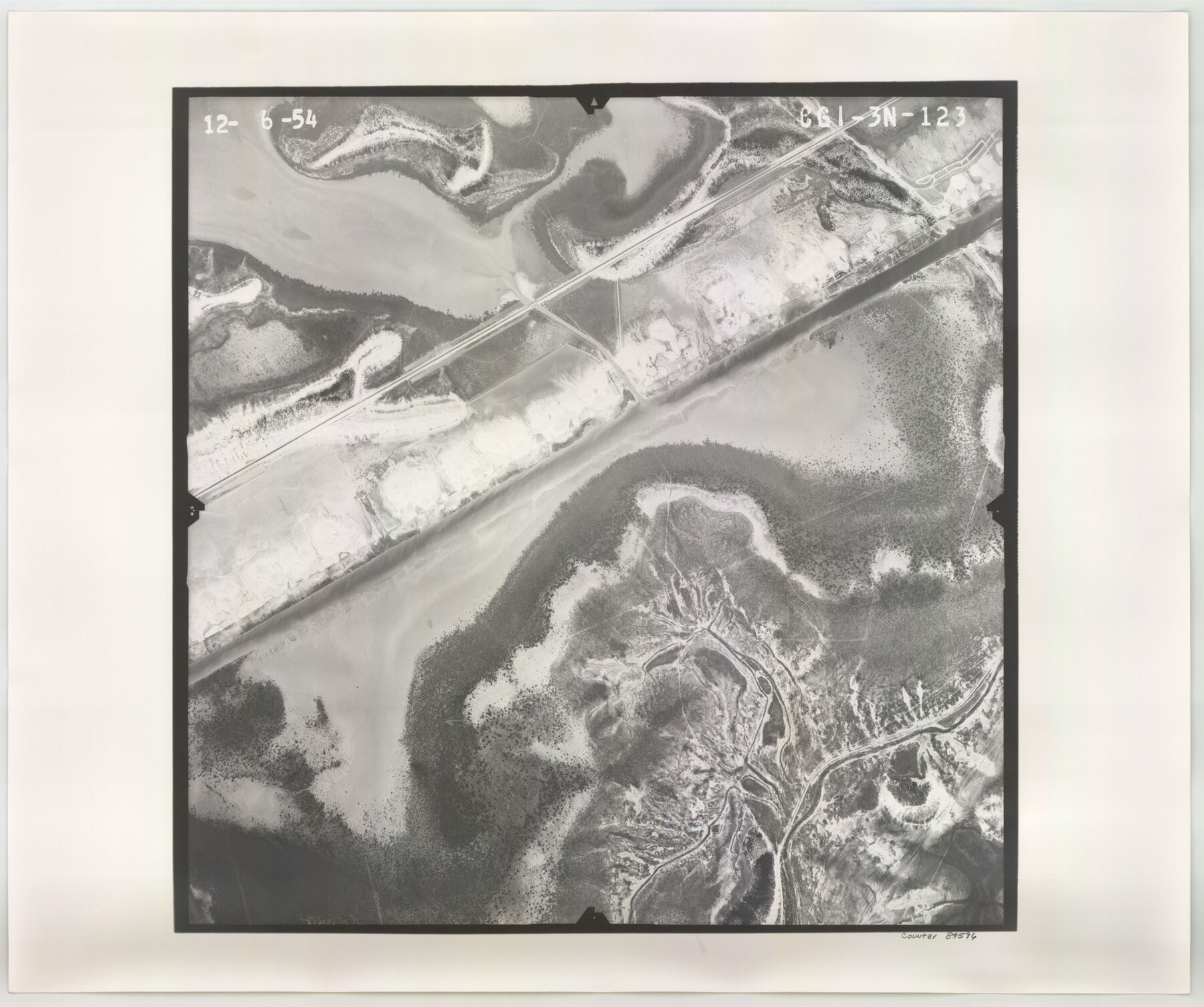
Flight Mission No. CGI-3N, Frame 123, Cameron County
CGI-3N-123
-
Map/Doc
84596
-
Collection
General Map Collection
-
Object Dates
1954/12/6 (Creation Date)
-
People and Organizations
U. S. Department of Agriculture (Publisher)
-
Counties
Cameron
-
Subjects
Aerial Photograph
-
Height x Width
18.6 x 22.2 inches
47.2 x 56.4 cm
-
Comments
Flown by Puckett Aerial Surveys, Inc. of Jackson, Mississippi.
Part of: General Map Collection
San Saba County

Print $20.00
- Digital $50.00
San Saba County
1987
Size 43.5 x 47.3 inches
Map/Doc 95635
Wichita County Boundary File 2a

Print $28.00
- Digital $50.00
Wichita County Boundary File 2a
Size 14.0 x 8.9 inches
Map/Doc 59906
Flight Mission No. DQN-5K, Frame 80, Calhoun County

Print $20.00
- Digital $50.00
Flight Mission No. DQN-5K, Frame 80, Calhoun County
1953
Size 18.5 x 22.1 inches
Map/Doc 84413
Aransas County NRC Article 33.136 Location Key Sheet

Print $20.00
- Digital $50.00
Aransas County NRC Article 33.136 Location Key Sheet
1975
Size 27.0 x 23.0 inches
Map/Doc 77004

Map and Profile of the Denison and Pacific Railway from Denison to Whitesboro

Print $40.00
- Digital $50.00
Map and Profile of the Denison and Pacific Railway from Denison to Whitesboro
1878
Size 42.5 x 57.5 inches
Map/Doc 64284
Fort Bend County Boundary File 3

Print $2.00
- Digital $50.00
Fort Bend County Boundary File 3
Size 8.8 x 11.3 inches
Map/Doc 53566
Montague County

Print $20.00
- Digital $50.00
Montague County
1924
Size 46.9 x 33.7 inches
Map/Doc 73243
Leon County Rolled Sketch 3

Print $20.00
- Digital $50.00
Leon County Rolled Sketch 3
Size 16.8 x 22.5 inches
Map/Doc 6595
Jefferson County Working Sketch 23

Print $20.00
- Digital $50.00
Jefferson County Working Sketch 23
1970
Size 23.9 x 29.2 inches
Map/Doc 66566
Map of a part of Laguna Madre showing subdivision for mineral development

Print $20.00
- Digital $50.00
Map of a part of Laguna Madre showing subdivision for mineral development
1950
Size 40.7 x 26.9 inches
Map/Doc 2917
Oldham County Rolled Sketch T

Print $20.00
- Digital $50.00
Oldham County Rolled Sketch T
1903
Size 42.3 x 46.2 inches
Map/Doc 9642
You may also like
Grayson County Sketch File 7

Print $40.00
- Digital $50.00
Grayson County Sketch File 7
1856
Size 12.3 x 12.1 inches
Map/Doc 24470
Jefferson County Rolled Sketch GA

Print $20.00
- Digital $50.00
Jefferson County Rolled Sketch GA
1937
Size 29.5 x 36.7 inches
Map/Doc 6437
Real County Working Sketch 48

Print $20.00
- Digital $50.00
Real County Working Sketch 48
1956
Size 29.4 x 18.5 inches
Map/Doc 71940
Oldham County Sketch File 18

Print $6.00
- Digital $50.00
Oldham County Sketch File 18
1910
Size 8.9 x 8.5 inches
Map/Doc 33272
Presidio County Boundary File 2

Print $8.00
- Digital $50.00
Presidio County Boundary File 2
Size 14.0 x 8.6 inches
Map/Doc 58054
University Lands Blocks 27 & 28, Pecos County

Print $20.00
- Digital $50.00
University Lands Blocks 27 & 28, Pecos County
1940
Size 33.6 x 21.1 inches
Map/Doc 2449
Crockett County Working Sketch 97

Print $20.00
- Digital $50.00
Crockett County Working Sketch 97
1979
Size 39.4 x 37.4 inches
Map/Doc 68430
Lampasas County Sketch File A

Print $4.00
- Digital $50.00
Lampasas County Sketch File A
1887
Size 11.3 x 9.0 inches
Map/Doc 29383
Natural provinces : [Texas].
![93576, Natural provinces : [Texas]., Library of Congress](https://historictexasmaps.com/wmedia_w700/maps/93576.tif.jpg)
Print $20.00
Natural provinces : [Texas].
1899
Size 14.2 x 15.4 inches
Map/Doc 93576
United States Gulf Coast - from Galveston to the Rio Grande

Print $20.00
- Digital $50.00
United States Gulf Coast - from Galveston to the Rio Grande
1915
Size 26.6 x 18.3 inches
Map/Doc 72734

Cooke County Working Sketch 14

Print $40.00
- Digital $50.00
Cooke County Working Sketch 14
1944
Size 34.1 x 49.7 inches
Map/Doc 68251