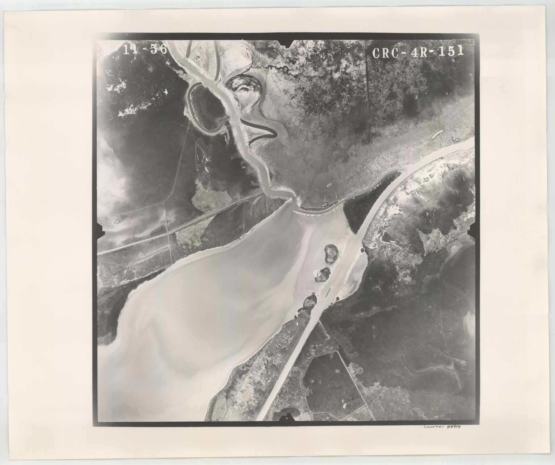
Flight Mission No. CRC-4R, Frame 151, Chambers County
CRC-4R-151
-
Map/Doc
84914
-
Collection
General Map Collection
-
Object Dates
1956/2/11 (Creation Date)
-
People and Organizations
U. S. Department of Agriculture (Publisher)
-
Counties
Chambers
-
Subjects
Aerial Photograph
-
Height x Width
18.8 x 22.4 inches
47.8 x 56.9 cm
-
Comments
Flown by Jack Ammann Photogrammetric Engineers, Inc. of San Antonio, Texas.
Part of: General Map Collection
Flight Mission No. DCL-4C, Frame 64, Kenedy County

Print $20.00
- Digital $50.00
Flight Mission No. DCL-4C, Frame 64, Kenedy County
1943
Size 18.6 x 22.4 inches
Map/Doc 85809
Flight Mission No. DQN-3K, Frame 66, Calhoun County

Print $20.00
- Digital $50.00
Flight Mission No. DQN-3K, Frame 66, Calhoun County
1953
Size 18.7 x 22.5 inches
Map/Doc 84357
Burleson County Working Sketch 36

Print $20.00
- Digital $50.00
Burleson County Working Sketch 36
1982
Size 31.0 x 33.3 inches
Map/Doc 67755
Flight Mission No. CLL-3N, Frame 11, Willacy County

Print $20.00
- Digital $50.00
Flight Mission No. CLL-3N, Frame 11, Willacy County
1954
Size 18.6 x 22.3 inches
Map/Doc 87077
Orange County Working Sketch 15

Print $20.00
- Digital $50.00
Orange County Working Sketch 15
1928
Size 19.3 x 24.6 inches
Map/Doc 71347
San Jacinto County Rolled Sketch 9

Print $20.00
- Digital $50.00
San Jacinto County Rolled Sketch 9
1944
Size 39.9 x 36.8 inches
Map/Doc 9881
Stephens County

Print $20.00
- Digital $50.00
Stephens County
1940
Size 42.5 x 40.4 inches
Map/Doc 73293
Presidio County Sketch File 113

Print $6.00
- Digital $50.00
Presidio County Sketch File 113
Size 11.9 x 8.8 inches
Map/Doc 34829
Uvalde County Sketch File 18

Print $6.00
- Digital $50.00
Uvalde County Sketch File 18
1883
Size 10.9 x 8.2 inches
Map/Doc 38997
Travis County Sketch File 53

Print $6.00
- Digital $50.00
Travis County Sketch File 53
1945
Size 14.2 x 9.0 inches
Map/Doc 38395
Jefferson County NRC Article 33.136 Sketch 15

Print $38.00
Jefferson County NRC Article 33.136 Sketch 15
2020
Map/Doc 97253
Upton County Rolled Sketch 58

Print $20.00
- Digital $50.00
Upton County Rolled Sketch 58
1988
Size 38.6 x 36.2 inches
Map/Doc 10061
You may also like
Dickens County Sketch File H

Print $28.00
- Digital $50.00
Dickens County Sketch File H
Size 13.2 x 8.9 inches
Map/Doc 20861
Flight Mission No. DCL-6C, Frame 25, Kenedy County

Print $20.00
- Digital $50.00
Flight Mission No. DCL-6C, Frame 25, Kenedy County
1943
Size 18.4 x 22.4 inches
Map/Doc 85882
Greer County Sketch File 1

Print $20.00
- Digital $50.00
Greer County Sketch File 1
Size 27.8 x 19.7 inches
Map/Doc 11581
Dominguez Empresario Colony. February 6, 1829

Print $20.00
Dominguez Empresario Colony. February 6, 1829
2020
Size 17.2 x 21.7 inches
Map/Doc 95992
Orange County Sketch File 9a

Print $4.00
- Digital $50.00
Orange County Sketch File 9a
1873
Size 8.1 x 7.5 inches
Map/Doc 33313
Flight Mission No. CGI-1N, Frame 174, Cameron County

Print $20.00
- Digital $50.00
Flight Mission No. CGI-1N, Frame 174, Cameron County
1955
Size 18.5 x 22.1 inches
Map/Doc 84509
Ward County Rolled Sketch 25

Print $20.00
- Digital $50.00
Ward County Rolled Sketch 25
1970
Size 38.7 x 19.9 inches
Map/Doc 8165
Atascosa County Rolled Sketch 24

Print $20.00
- Digital $50.00
Atascosa County Rolled Sketch 24
Size 38.3 x 45.2 inches
Map/Doc 5101
[Surveys in the Bexar District along the Leona River]
![135, [Surveys in the Bexar District along the Leona River], General Map Collection](https://historictexasmaps.com/wmedia_w700/maps/135.tif.jpg)
Print $20.00
- Digital $50.00
[Surveys in the Bexar District along the Leona River]
1841
Size 19.9 x 10.9 inches
Map/Doc 135
Potter County Rolled Sketch 12

Print $20.00
- Digital $50.00
Potter County Rolled Sketch 12
2004
Size 18.8 x 24.7 inches
Map/Doc 82480
Aransas County Sketch File 19

Print $4.00
- Digital $50.00
Aransas County Sketch File 19
Size 11.7 x 8.9 inches
Map/Doc 13153
Flight Mission No. BRA-16M, Frame 165, Jefferson County

Print $20.00
- Digital $50.00
Flight Mission No. BRA-16M, Frame 165, Jefferson County
1953
Size 18.6 x 22.4 inches
Map/Doc 85763