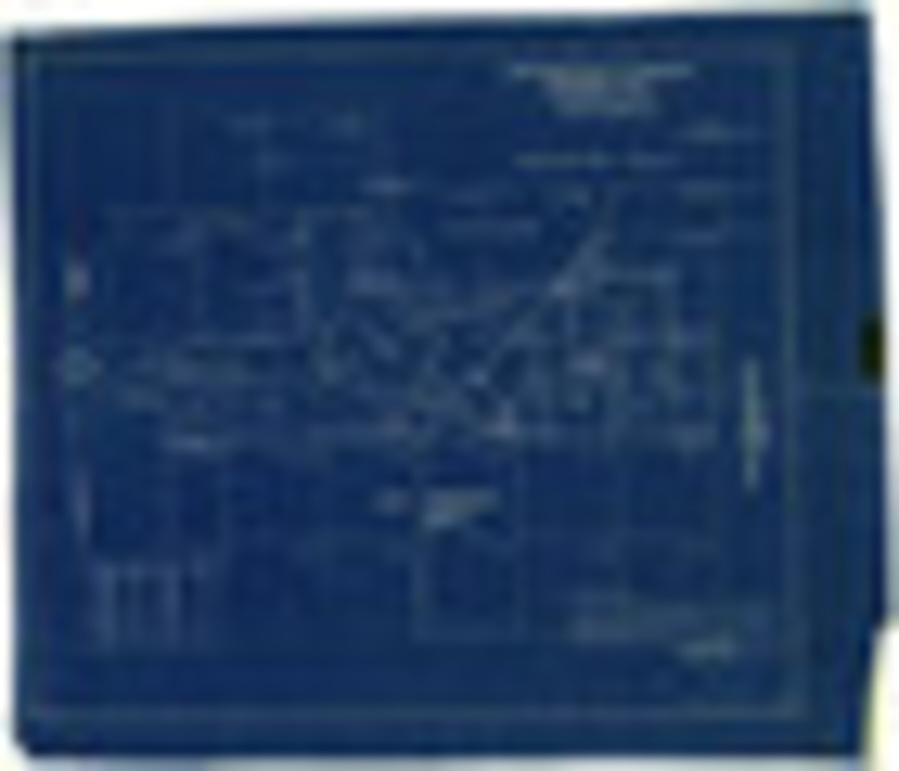
Jim Hogg County Rolled Sketch F
Jim Hogg County sketch showing Geo. Edds land
-
Map/Doc
6445
-
Collection
General Map Collection
-
Object Dates
10/31/1930 (Creation Date)
12/20/1930 (File Date)
10/4/1930 (Survey Date)
-
People and Organizations
E.J. Foster (Surveyor/Engineer)
-
Counties
Jim Hogg
-
Subjects
Surveying Rolled Sketch
-
Height x Width
24.5 x 28.9 inches
62.2 x 73.4 cm
-
Medium
blueprint/diazo
-
Scale
1" = 600 varas
Part of: General Map Collection
Presidio County Working Sketch 6

Print $20.00
- Digital $50.00
Presidio County Working Sketch 6
1920
Size 19.1 x 37.2 inches
Map/Doc 71680
Wilbarger County Sketch File 29

Print $18.00
- Digital $50.00
Wilbarger County Sketch File 29
2016
Size 11.0 x 8.5 inches
Map/Doc 95325
Liberty County Working Sketch Graphic Index - west part

Print $20.00
- Digital $50.00
Liberty County Working Sketch Graphic Index - west part
1977
Size 45.7 x 34.5 inches
Map/Doc 76619
Marion County Rolled Sketch S

Print $20.00
- Digital $50.00
Marion County Rolled Sketch S
1937
Size 18.8 x 18.1 inches
Map/Doc 6663
Stephens County Working Sketch 11

Print $20.00
- Digital $50.00
Stephens County Working Sketch 11
1921
Size 21.0 x 16.5 inches
Map/Doc 63954
Webb County Sketch File 46

Print $20.00
- Digital $50.00
Webb County Sketch File 46
1879
Size 19.6 x 14.9 inches
Map/Doc 12644
San Patricio County Sketch File 27

Print $4.00
San Patricio County Sketch File 27
Size 14.5 x 8.8 inches
Map/Doc 36085
Swisher County Rolled Sketch 3

Print $20.00
- Digital $50.00
Swisher County Rolled Sketch 3
Size 21.3 x 19.4 inches
Map/Doc 7904
Trinity County Sketch File 38

Print $8.00
- Digital $50.00
Trinity County Sketch File 38
1948
Size 14.5 x 8.9 inches
Map/Doc 38593
Dimmit County Rolled Sketch 5

Print $20.00
- Digital $50.00
Dimmit County Rolled Sketch 5
1904
Size 42.7 x 18.2 inches
Map/Doc 5715
Andrews County Working Sketch 13

Print $20.00
- Digital $50.00
Andrews County Working Sketch 13
1956
Size 37.3 x 30.6 inches
Map/Doc 67059
Lampasas County Working Sketch 19

Print $40.00
- Digital $50.00
Lampasas County Working Sketch 19
1979
Size 43.8 x 48.3 inches
Map/Doc 70296
You may also like
Potter County Working Sketch 2

Print $40.00
- Digital $50.00
Potter County Working Sketch 2
1919
Size 43.3 x 54.4 inches
Map/Doc 71662
[Sketch of Hicks Strip No. 2 between M. H. Hagaman and Z. C. Collier Surveys]
![91893, [Sketch of Hicks Strip No. 2 between M. H. Hagaman and Z. C. Collier Surveys], Twichell Survey Records](https://historictexasmaps.com/wmedia_w700/maps/91893-1.tif.jpg)
Print $20.00
- Digital $50.00
[Sketch of Hicks Strip No. 2 between M. H. Hagaman and Z. C. Collier Surveys]
Size 15.1 x 14.9 inches
Map/Doc 91893
Irion County Rolled Sketch 13

Print $20.00
- Digital $50.00
Irion County Rolled Sketch 13
1948
Size 27.0 x 30.7 inches
Map/Doc 6323
Flight Mission No. DQN-1K, Frame 45, Calhoun County

Print $20.00
- Digital $50.00
Flight Mission No. DQN-1K, Frame 45, Calhoun County
1953
Size 15.8 x 15.6 inches
Map/Doc 84145
Flight Mission No. BQY-4M, Frame 35, Harris County

Print $20.00
- Digital $50.00
Flight Mission No. BQY-4M, Frame 35, Harris County
1953
Size 18.7 x 22.5 inches
Map/Doc 85250
General Highway Map, Winkler County, Texas

Print $20.00
General Highway Map, Winkler County, Texas
1940
Size 18.4 x 24.7 inches
Map/Doc 79283
General Highway Map. Detail of Cities and Towns in Bowie County, Texas

Print $20.00
General Highway Map. Detail of Cities and Towns in Bowie County, Texas
1961
Size 18.0 x 24.8 inches
Map/Doc 79381
Travis County Rolled Sketch 22

Print $20.00
- Digital $50.00
Travis County Rolled Sketch 22
1937
Size 23.4 x 26.1 inches
Map/Doc 8023
Terrell County Sketch File 13

Print $20.00
- Digital $50.00
Terrell County Sketch File 13
1911
Size 13.7 x 20.4 inches
Map/Doc 12420
Flight Mission No. DCL-6C, Frame 120, Kenedy County

Print $20.00
- Digital $50.00
Flight Mission No. DCL-6C, Frame 120, Kenedy County
1943
Size 18.4 x 22.3 inches
Map/Doc 85950
Baylor County Boundary File 4

Print $6.00
- Digital $50.00
Baylor County Boundary File 4
Size 11.2 x 8.6 inches
Map/Doc 50389
McMullen County Working Sketch 16

Print $20.00
- Digital $50.00
McMullen County Working Sketch 16
1940
Size 23.8 x 19.8 inches
Map/Doc 70717