[Location St. L. & S. W. R. R. Through Cherokee County]
Z-2-10
-
Map/Doc
64042
-
Collection
General Map Collection
-
Object Dates
7/16/1895 (File Date)
-
People and Organizations
J. J. Groos (GLO Commissioner)
-
Counties
Cherokee
-
Subjects
Railroads
-
Height x Width
92.0 x 39.9 inches
233.7 x 101.4 cm
-
Medium
linen, manuscript
-
Scale
1" = 200 feet
-
Comments
Segment 1; see counter no. 64045 for segment 2 and counter nos. 64042 through 64043 for sheets 1 and 2.
Part of: General Map Collection
Maverick County Sketch File 22
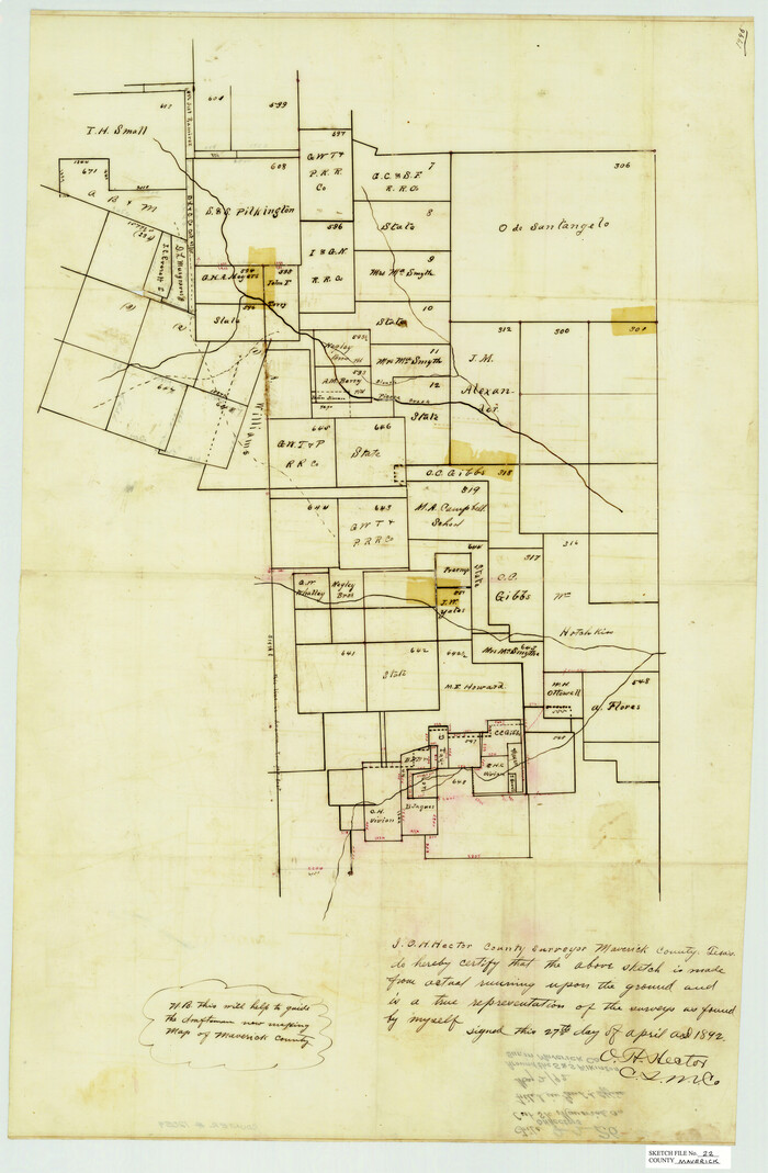

Print $32.00
- Digital $50.00
Maverick County Sketch File 22
1892
Size 5.5 x 6.3 inches
Map/Doc 31136
Brown County Rolled Sketch 2C
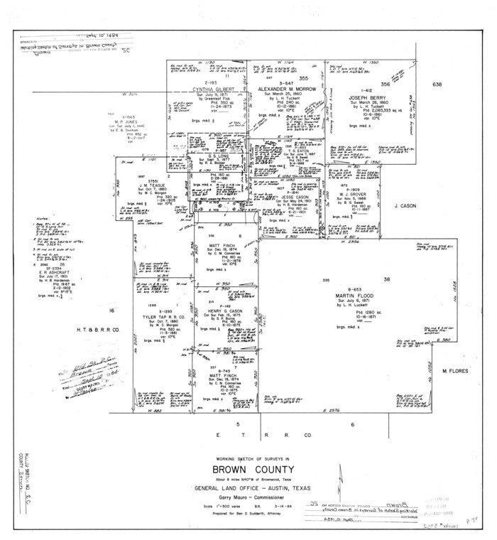

Print $20.00
- Digital $50.00
Brown County Rolled Sketch 2C
1984
Size 26.7 x 24.6 inches
Map/Doc 5352
[Surveys along the Trinity River and below]
![101, [Surveys along the Trinity River and below], General Map Collection](https://historictexasmaps.com/wmedia_w700/maps/101.tif.jpg)
![101, [Surveys along the Trinity River and below], General Map Collection](https://historictexasmaps.com/wmedia_w700/maps/101.tif.jpg)
Print $20.00
- Digital $50.00
[Surveys along the Trinity River and below]
1840
Size 22.6 x 17.6 inches
Map/Doc 101
Navarro County Sketch File 16


Print $24.00
- Digital $50.00
Navarro County Sketch File 16
1902
Size 9.7 x 6.3 inches
Map/Doc 32330
Map of Copano, St. Charles, Aransas & Red Fish Bays in Aransas & Nueces Counties showing subdivision thereof for Mineral Development
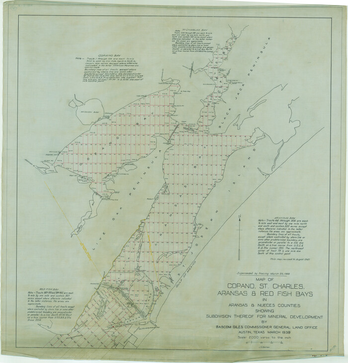

Print $20.00
- Digital $50.00
Map of Copano, St. Charles, Aransas & Red Fish Bays in Aransas & Nueces Counties showing subdivision thereof for Mineral Development
1939
Size 35.9 x 34.4 inches
Map/Doc 2296
Crockett County Sketch File 45


Print $14.00
- Digital $50.00
Crockett County Sketch File 45
Size 12.7 x 8.8 inches
Map/Doc 19772
Harris County Sketch File 71a
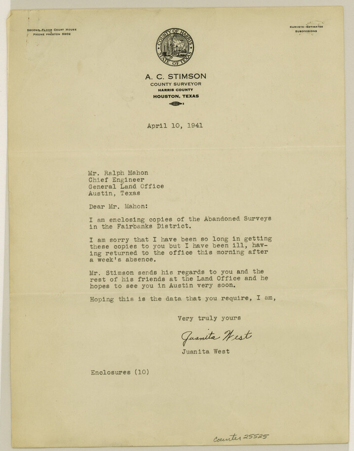

Print $24.00
- Digital $50.00
Harris County Sketch File 71a
1941
Size 11.4 x 8.9 inches
Map/Doc 25525
Orange County Rolled Sketch 29


Print $20.00
- Digital $50.00
Orange County Rolled Sketch 29
1960
Size 25.9 x 37.2 inches
Map/Doc 7187
Railroad Track Map, H&TCRRCo., Falls County, Texas
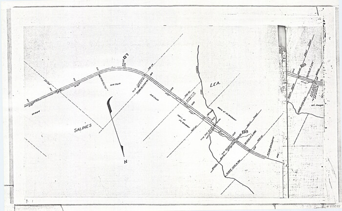

Print $4.00
- Digital $50.00
Railroad Track Map, H&TCRRCo., Falls County, Texas
1918
Size 11.4 x 18.5 inches
Map/Doc 62859
Current Miscellaneous File 82

Print $4.00
- Digital $50.00
Current Miscellaneous File 82
Size 12.0 x 8.8 inches
Map/Doc 74224
Hays County Sketch File 30
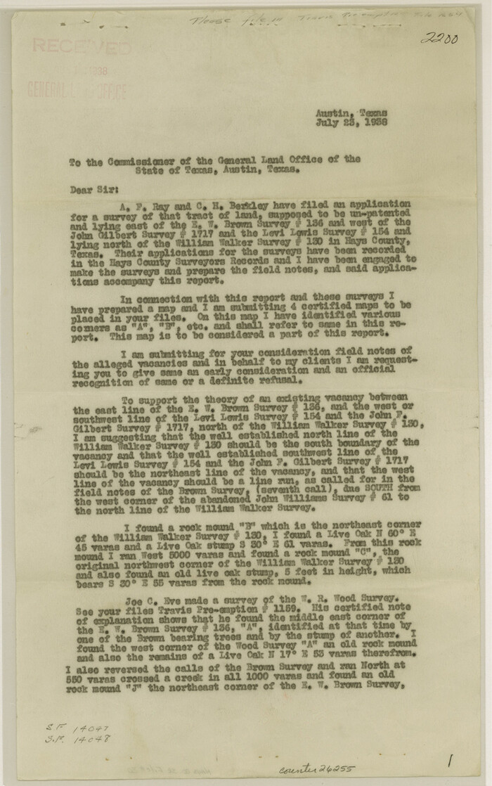

Print $12.00
- Digital $50.00
Hays County Sketch File 30
1938
Size 14.3 x 9.0 inches
Map/Doc 26255
Flight Mission No. CUG-1P, Frame 110, Kleberg County


Print $20.00
- Digital $50.00
Flight Mission No. CUG-1P, Frame 110, Kleberg County
1956
Size 18.5 x 22.2 inches
Map/Doc 86160
You may also like
Hidalgo County Sketch File 1

Print $40.00
- Digital $50.00
Hidalgo County Sketch File 1
Size 20.2 x 12.0 inches
Map/Doc 26392
Reeves County Rolled Sketch 33

Print $20.00
- Digital $50.00
Reeves County Rolled Sketch 33
Size 24.6 x 36.9 inches
Map/Doc 7504
Fisher County Sketch File 13

Print $20.00
- Digital $50.00
Fisher County Sketch File 13
Size 18.3 x 17.7 inches
Map/Doc 11480
Brown County Sketch File 4

Print $4.00
- Digital $50.00
Brown County Sketch File 4
1858
Size 12.7 x 8.1 inches
Map/Doc 16585
Map of section no. 12 of a survey of Padre Island made for the Office of the Attorney General of the State of Texas


Print $40.00
- Digital $50.00
Map of section no. 12 of a survey of Padre Island made for the Office of the Attorney General of the State of Texas
1941
Size 75.9 x 41.0 inches
Map/Doc 2268
Sutton County Sketch File C


Print $6.00
- Digital $50.00
Sutton County Sketch File C
1900
Size 14.0 x 8.6 inches
Map/Doc 37379
Harris County NRC Article 33.136 Sketch 14

Print $50.00
- Digital $50.00
Harris County NRC Article 33.136 Sketch 14
Size 24.0 x 36.0 inches
Map/Doc 94816
Red River County Working Sketch 14
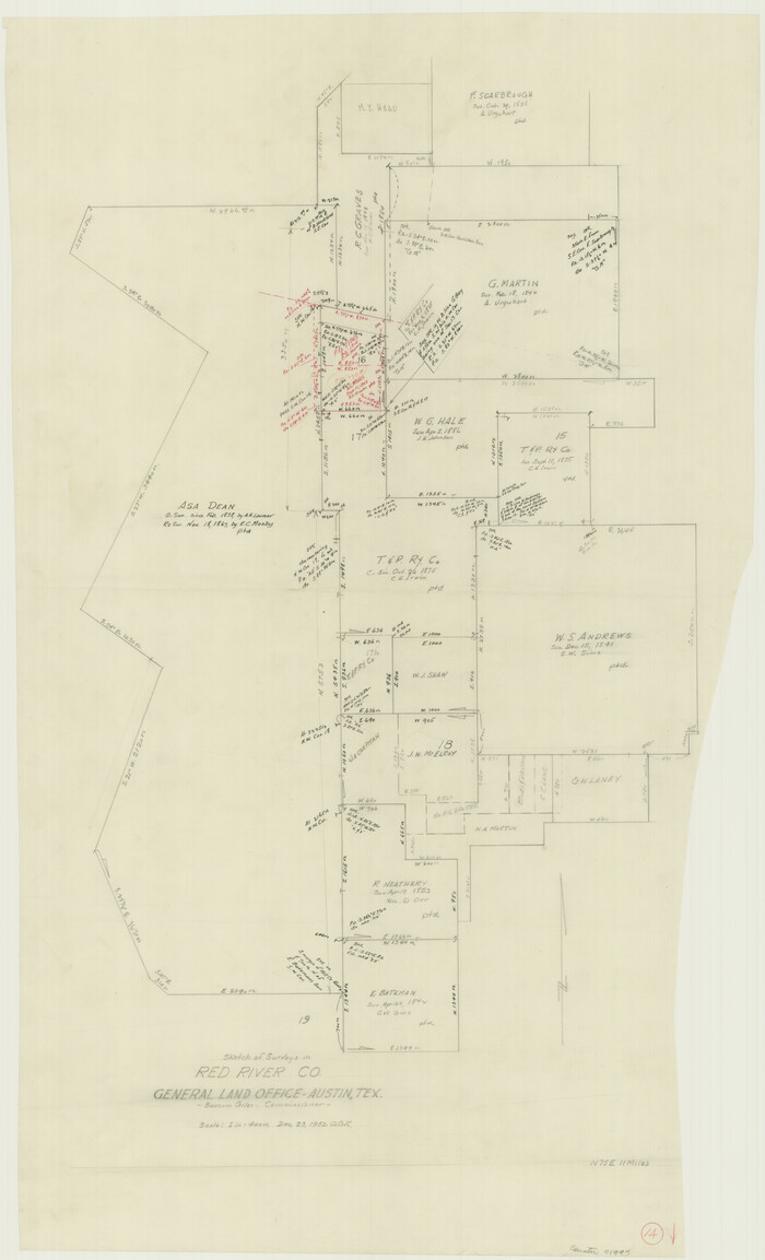

Print $20.00
- Digital $50.00
Red River County Working Sketch 14
1952
Size 37.8 x 22.9 inches
Map/Doc 71997
Matagorda County Sketch File 30
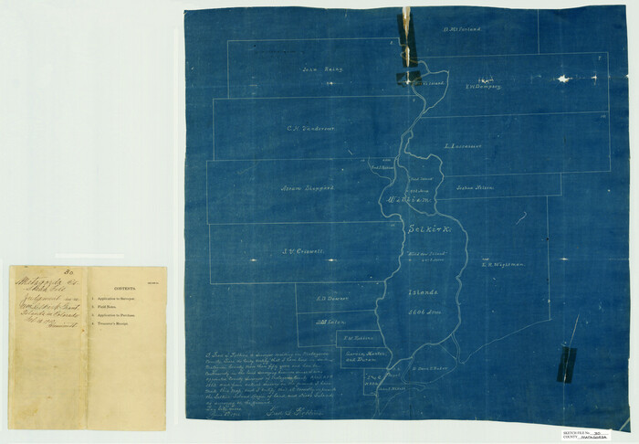

Print $20.00
- Digital $50.00
Matagorda County Sketch File 30
1911
Size 22.2 x 31.9 inches
Map/Doc 12045
Stonewall County Rolled Sketch 29
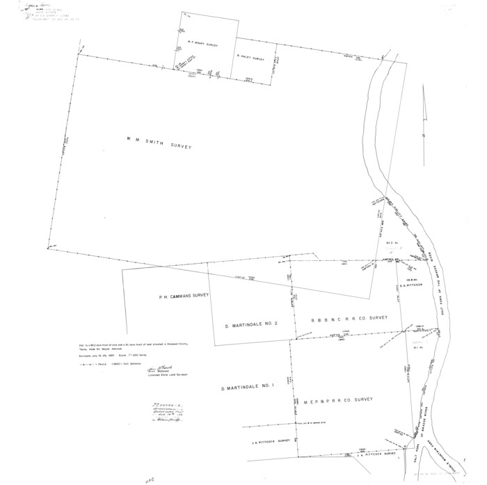

Print $20.00
- Digital $50.00
Stonewall County Rolled Sketch 29
Size 39.8 x 40.0 inches
Map/Doc 9968
Shelby County


Print $20.00
- Digital $50.00
Shelby County
1945
Size 41.6 x 45.9 inches
Map/Doc 73288
Fannin County Sketch File 15
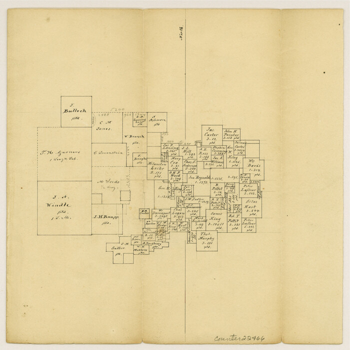

Print $6.00
- Digital $50.00
Fannin County Sketch File 15
1866
Size 8.2 x 8.2 inches
Map/Doc 22466
![64042, [Location St. L. & S. W. R. R. Through Cherokee County], General Map Collection](https://historictexasmaps.com/wmedia_w1800h1800/maps/64042-1.tif.jpg)