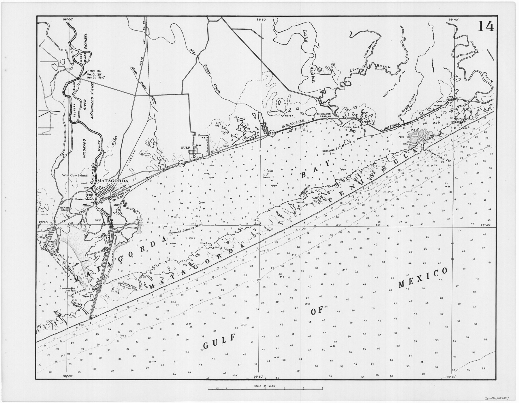
Navigation Maps of Gulf Intracoastal Waterway, Port Arthur to Brownsville, Texas
K-7-68
-
Map/Doc
65434
-
Collection
General Map Collection
-
Object Dates
1951 (Creation Date)
-
People and Organizations
Corps of Engineers (Publisher)
-
Counties
Matagorda
-
Subjects
Intracoastal Waterways
-
Height x Width
16.7 x 21.5 inches
42.4 x 54.6 cm
Part of: General Map Collection
Liberty County Rolled Sketch I

Print $20.00
- Digital $50.00
Liberty County Rolled Sketch I
1944
Size 38.1 x 38.1 inches
Map/Doc 10642
Flight Mission No. CUG-2P, Frame 84, Kleberg County

Print $20.00
- Digital $50.00
Flight Mission No. CUG-2P, Frame 84, Kleberg County
1956
Size 18.6 x 22.3 inches
Map/Doc 86216
Terrell County Working Sketch 68

Print $20.00
- Digital $50.00
Terrell County Working Sketch 68
1973
Size 43.7 x 26.4 inches
Map/Doc 69589
Sutton County Working Sketch 61

Print $20.00
- Digital $50.00
Sutton County Working Sketch 61
1959
Size 44.1 x 38.6 inches
Map/Doc 62404
Zapata County Working Sketch 8

Print $20.00
- Digital $50.00
Zapata County Working Sketch 8
1949
Size 25.3 x 23.1 inches
Map/Doc 62059
Zavala County Sketch File 10

Print $20.00
- Digital $50.00
Zavala County Sketch File 10
Size 17.6 x 25.7 inches
Map/Doc 12728
Maps of Gulf Intracoastal Waterway, Texas - Sabine River to the Rio Grande and connecting waterways including ship channels

Print $20.00
- Digital $50.00
Maps of Gulf Intracoastal Waterway, Texas - Sabine River to the Rio Grande and connecting waterways including ship channels
1966
Size 14.6 x 22.3 inches
Map/Doc 61965
Map of Galveston Bay from Lawrence Cove to Stevenson's Station

Print $20.00
- Digital $50.00
Map of Galveston Bay from Lawrence Cove to Stevenson's Station
1851
Size 41.5 x 30.0 inches
Map/Doc 69922
Flight Mission No. DQN-6K, Frame 91, Calhoun County

Print $20.00
- Digital $50.00
Flight Mission No. DQN-6K, Frame 91, Calhoun County
1953
Size 18.5 x 22.2 inches
Map/Doc 84451
Frio County Rolled Sketch 15

Print $20.00
- Digital $50.00
Frio County Rolled Sketch 15
1949
Size 26.1 x 39.0 inches
Map/Doc 5922
Kinney County

Print $40.00
- Digital $50.00
Kinney County
1955
Size 50.5 x 47.0 inches
Map/Doc 73209
Cottle County Sketch File A and B

Print $27.00
- Digital $50.00
Cottle County Sketch File A and B
Size 18.4 x 24.1 inches
Map/Doc 11200
You may also like
Collin County

Print $20.00
- Digital $50.00
Collin County
1975
Size 43.2 x 40.1 inches
Map/Doc 73110
Comal County Working Sketch 15

Print $20.00
- Digital $50.00
Comal County Working Sketch 15
1994
Size 44.6 x 31.0 inches
Map/Doc 68181
Presidio County Sketch File 44

Print $15.00
- Digital $50.00
Presidio County Sketch File 44
1913
Size 11.1 x 9.5 inches
Map/Doc 34525
General Highway Map, Nueces County, Texas

Print $20.00
General Highway Map, Nueces County, Texas
1961
Size 24.6 x 18.2 inches
Map/Doc 79616
Anderson County Working Sketch 47

Print $40.00
- Digital $50.00
Anderson County Working Sketch 47
2012
Size 49.1 x 37.0 inches
Map/Doc 93396

Chambers County Aerial Photograph Index Sheet 5

Print $20.00
- Digital $50.00
Chambers County Aerial Photograph Index Sheet 5
1956
Size 18.2 x 15.8 inches
Map/Doc 83686
Matagorda County Working Sketch 28

Print $3.00
- Digital $50.00
Matagorda County Working Sketch 28
1980
Size 10.7 x 12.1 inches
Map/Doc 70886
Oldham County

Print $40.00
- Digital $50.00
Oldham County
1925
Size 42.6 x 51.5 inches
Map/Doc 77387
Flight Mission No. CUG-1P, Frame 78, Kleberg County

Print $20.00
- Digital $50.00
Flight Mission No. CUG-1P, Frame 78, Kleberg County
1956
Size 18.9 x 22.5 inches
Map/Doc 86143
Flight Mission No. DAG-14K, Frame 143, Matagorda County

Print $20.00
- Digital $50.00
Flight Mission No. DAG-14K, Frame 143, Matagorda County
1952
Size 16.4 x 16.4 inches
Map/Doc 86310
Blanco County Working Sketch 24

Print $20.00
- Digital $50.00
Blanco County Working Sketch 24
1963
Size 30.2 x 31.2 inches
Map/Doc 67384