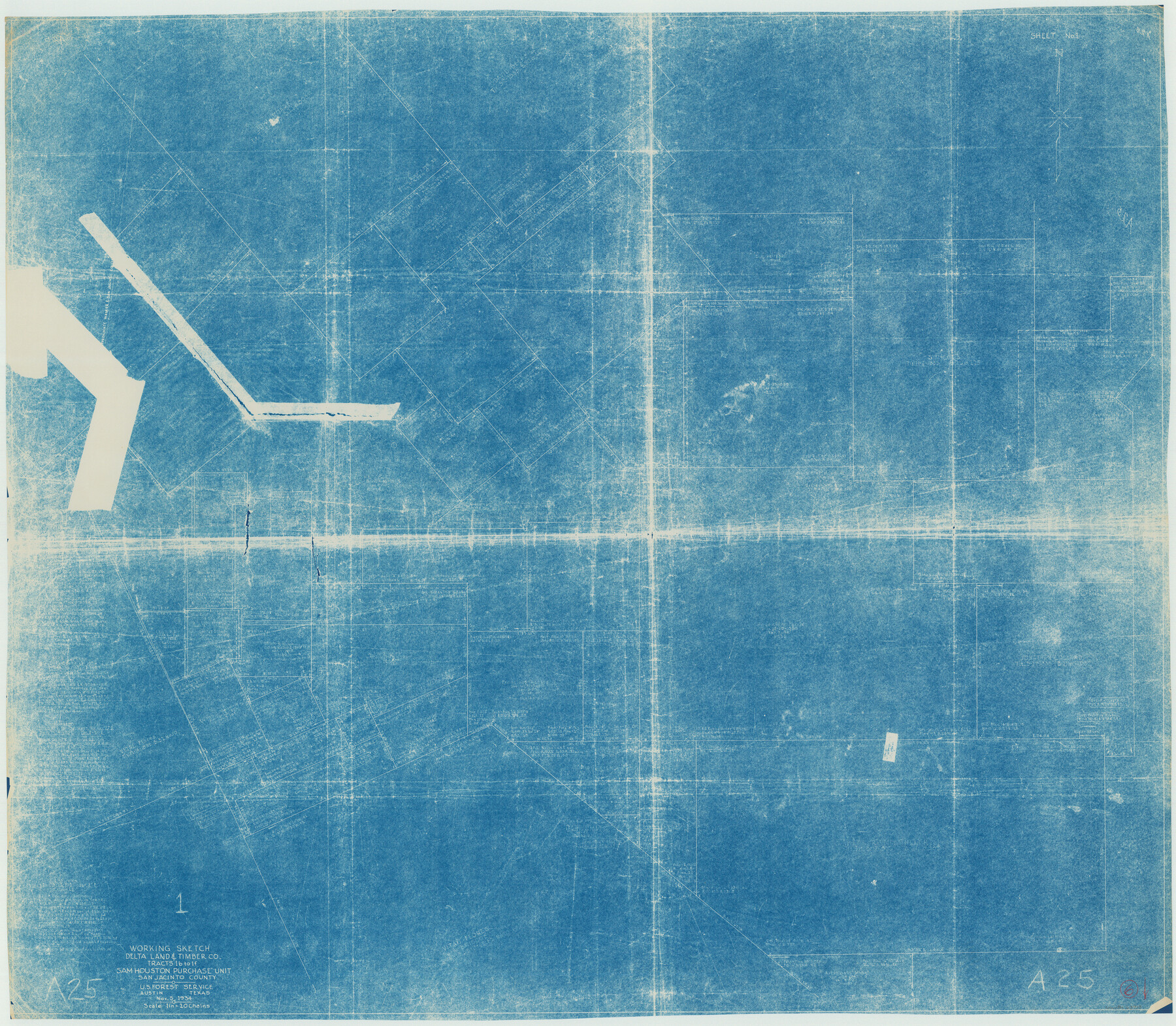
San Jacinto County Working Sketch 6
-
Map/Doc
63719
-
Collection
General Map Collection
-
Object Dates
11/5/1934 (Creation Date)
-
People and Organizations
U.S. Forest Service (Draftsman)
-
Counties
San Jacinto
-
Subjects
Surveying Working Sketch
-
Height x Width
37.1 x 42.5 inches
94.2 x 108.0 cm
-
Scale
1" = 20 chains
Part of: General Map Collection
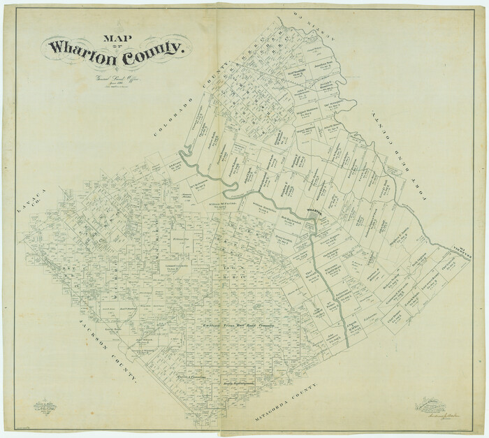
Map of Wharton County
Print $40.00
- Digital $50.00
Map of Wharton County
1895
Size 48.2 x 53.8 inches
Map/Doc 82055
Atascosa County Sketch File 19

Print $6.00
- Digital $50.00
Atascosa County Sketch File 19
1854
Size 8.8 x 7.2 inches
Map/Doc 13784
Surveys East of Cedar Lake

Print $20.00
- Digital $50.00
Surveys East of Cedar Lake
1824
Size 13.3 x 20.9 inches
Map/Doc 210
Montgomery County Sketch File 9

Print $6.00
- Digital $50.00
Montgomery County Sketch File 9
Size 9.0 x 7.6 inches
Map/Doc 31795
Brazoria County Rolled Sketch 40

Print $20.00
- Digital $50.00
Brazoria County Rolled Sketch 40
1954
Size 32.1 x 21.5 inches
Map/Doc 5175
Flight Mission No. BQR-3K, Frame 157, Brazoria County

Print $20.00
- Digital $50.00
Flight Mission No. BQR-3K, Frame 157, Brazoria County
1952
Size 18.7 x 22.3 inches
Map/Doc 83984
Liberty County Rolled Sketch P

Print $33.00
- Digital $50.00
Liberty County Rolled Sketch P
Size 10.3 x 16.5 inches
Map/Doc 46545
Erath County Working Sketch 13

Print $20.00
- Digital $50.00
Erath County Working Sketch 13
1952
Size 31.4 x 27.1 inches
Map/Doc 69094
Flight Mission No. CRK-5P, Frame 159, Refugio County

Print $20.00
- Digital $50.00
Flight Mission No. CRK-5P, Frame 159, Refugio County
1956
Size 18.6 x 22.5 inches
Map/Doc 86940
Flight Mission No. DAG-17K, Frame 72, Matagorda County

Print $20.00
- Digital $50.00
Flight Mission No. DAG-17K, Frame 72, Matagorda County
1952
Size 18.6 x 22.4 inches
Map/Doc 86331

Pecos County Rolled Sketch 25

Print $48.00
- Digital $50.00
Pecos County Rolled Sketch 25
1887
Size 18.8 x 41.1 inches
Map/Doc 7209
You may also like
Garza County Working Sketch 5

Print $20.00
- Digital $50.00
Garza County Working Sketch 5
1943
Size 19.4 x 34.7 inches
Map/Doc 63152
Cass County Working Sketch 23

Print $40.00
- Digital $50.00
Cass County Working Sketch 23
1966
Size 56.8 x 37.1 inches
Map/Doc 67926
Flight Mission No. CUI-1H, Frame 140, Milam County

Print $20.00
- Digital $50.00
Flight Mission No. CUI-1H, Frame 140, Milam County
1951
Size 18.4 x 22.2 inches
Map/Doc 86606
General Highway Map, Nueces County, Texas

Print $20.00
General Highway Map, Nueces County, Texas
1940
Size 24.6 x 18.5 inches
Map/Doc 79209
Intracoastal Waterway, Houma, LA to Corpus Christi, TX

Print $5.00
- Digital $50.00
Intracoastal Waterway, Houma, LA to Corpus Christi, TX
Size 22.2 x 29.6 inches
Map/Doc 61913
Flight Mission No. CRC-2R, Frame 3, Chambers County

Print $20.00
- Digital $50.00
Flight Mission No. CRC-2R, Frame 3, Chambers County
1956
Size 18.8 x 22.5 inches
Map/Doc 84722
Hunt County Working Sketch 4

Print $20.00
- Digital $50.00
Hunt County Working Sketch 4
1923
Size 21.3 x 30.5 inches
Map/Doc 66351
Culberson County Rolled Sketch 10

Print $20.00
- Digital $50.00
Culberson County Rolled Sketch 10
1893
Size 16.4 x 25.9 inches
Map/Doc 5647
Leon County Sketch File 11

Print $4.00
- Digital $50.00
Leon County Sketch File 11
1858
Size 10.1 x 8.0 inches
Map/Doc 29761
Polk County Sketch File 2

Print $4.00
- Digital $50.00
Polk County Sketch File 2
1856
Size 8.2 x 8.1 inches
Map/Doc 34118
[PSL Blocks C31-C39]
![90790, [PSL Blocks C31-C39], Twichell Survey Records](https://historictexasmaps.com/wmedia_w700/maps/90790-1.tif.jpg)
Print $20.00
- Digital $50.00
[PSL Blocks C31-C39]
Size 43.1 x 9.8 inches
Map/Doc 90790
Montgomery County Working Sketch 37

Print $20.00
- Digital $50.00
Montgomery County Working Sketch 37
1953
Size 24.5 x 33.8 inches
Map/Doc 71144