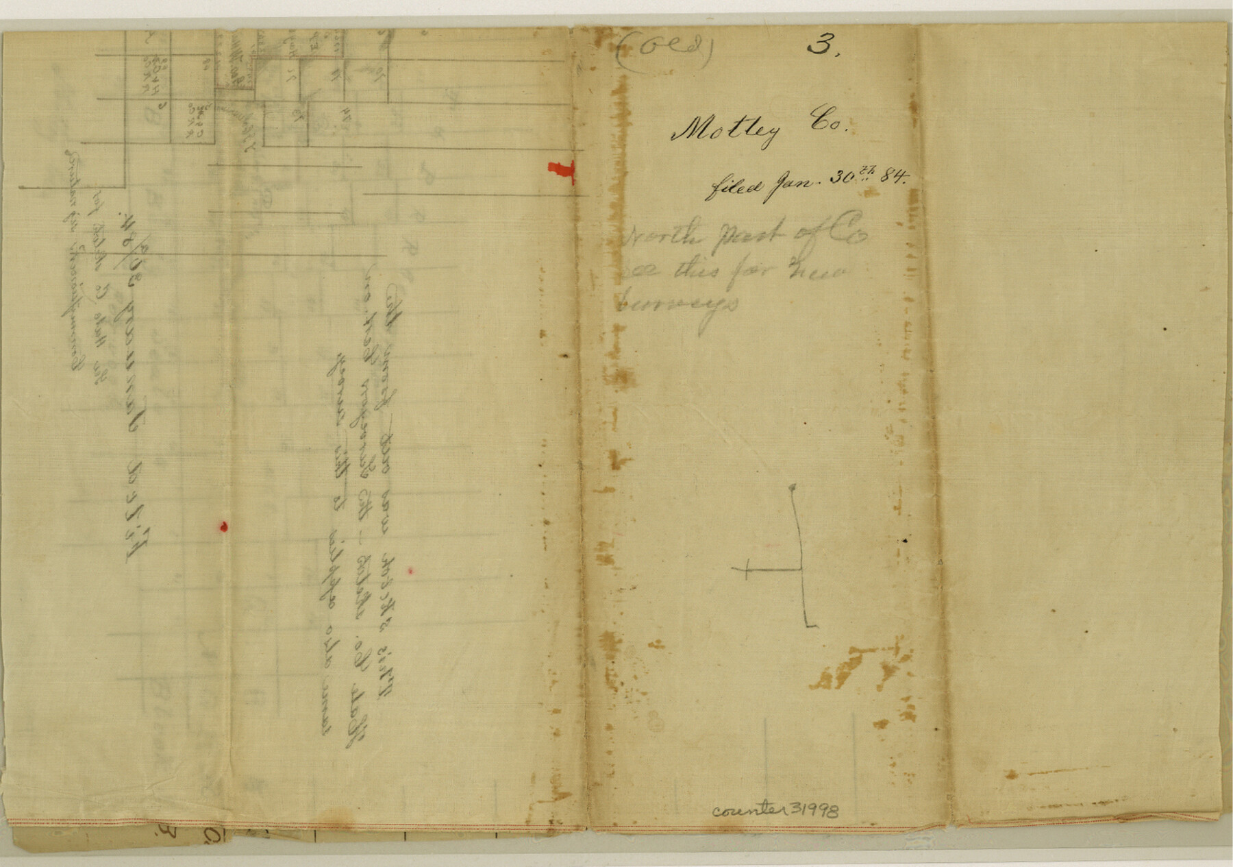
Motley County Sketch File 3 (N)
[Sketch of Blocks JB, 4, etc]
-
Map/Doc
31998
-
Collection
General Map Collection
-
Object Dates
1/30/1884 (File Date)
-
Counties
Motley
-
Subjects
Surveying Sketch File
-
Height x Width
9.1 x 13.0 inches
23.1 x 33.0 cm
-
Medium
paper, manuscript
Part of: General Map Collection
Morris County Rolled Sketch 2A

Print $20.00
- Digital $50.00
Morris County Rolled Sketch 2A
Size 22.7 x 17.6 inches
Map/Doc 10268
Cooke County Sketch File 11

Print $4.00
- Digital $50.00
Cooke County Sketch File 11
1858
Size 12.4 x 8.2 inches
Map/Doc 19244
Blanco County Working Sketch 10

Print $20.00
- Digital $50.00
Blanco County Working Sketch 10
1938
Size 28.3 x 25.8 inches
Map/Doc 67370
Culberson County Working Sketch 68

Print $40.00
- Digital $50.00
Culberson County Working Sketch 68
1975
Size 48.9 x 33.5 inches
Map/Doc 68522
Hood County Sketch File 23a

Print $20.00
- Digital $50.00
Hood County Sketch File 23a
1887
Size 17.2 x 16.5 inches
Map/Doc 11781
Copy of Surveyor's Field Book, Morris Browning - In Blocks 7, 5 & 4, I&GNRRCo., Hutchinson and Carson Counties, Texas

Print $2.00
- Digital $50.00
Copy of Surveyor's Field Book, Morris Browning - In Blocks 7, 5 & 4, I&GNRRCo., Hutchinson and Carson Counties, Texas
1888
Size 7.0 x 8.8 inches
Map/Doc 62267
Map of Henderson County

Print $20.00
- Digital $50.00
Map of Henderson County
1871
Size 16.0 x 31.4 inches
Map/Doc 3665
Flight Mission No. CZW-1R, Frame 165, Hardeman County

Print $20.00
- Digital $50.00
Flight Mission No. CZW-1R, Frame 165, Hardeman County
1956
Size 18.7 x 22.4 inches
Map/Doc 85236
Aransas County Rolled Sketch 29

Print $20.00
- Digital $50.00
Aransas County Rolled Sketch 29
1961
Size 35.8 x 31.1 inches
Map/Doc 77497
Bosque County Sketch File 28

Print $6.00
- Digital $50.00
Bosque County Sketch File 28
1888
Size 7.3 x 10.3 inches
Map/Doc 14813
Fannin County Boundary File 5

Print $44.00
- Digital $50.00
Fannin County Boundary File 5
Size 22.3 x 7.7 inches
Map/Doc 53309
Flight Mission No. BQR-9K, Frame 51, Brazoria County

Print $20.00
- Digital $50.00
Flight Mission No. BQR-9K, Frame 51, Brazoria County
1952
Size 18.9 x 22.4 inches
Map/Doc 84055
You may also like
Brewster County Sketch File NS-13

Print $4.00
- Digital $50.00
Brewster County Sketch File NS-13
1955
Size 11.1 x 8.8 inches
Map/Doc 16220
Brewster County Rolled Sketch 94

Print $40.00
- Digital $50.00
Brewster County Rolled Sketch 94
1941
Size 26.8 x 58.6 inches
Map/Doc 8507
General Highway Map, Andrews County, Gaines County, Texas

Print $20.00
General Highway Map, Andrews County, Gaines County, Texas
1940
Size 24.9 x 18.4 inches
Map/Doc 79002
Map of the City of Barry, John McGowan & J.B. & A. Adams Surveys, Navarro County, Texas

Print $20.00
- Digital $50.00
Map of the City of Barry, John McGowan & J.B. & A. Adams Surveys, Navarro County, Texas
1958
Size 28.4 x 25.4 inches
Map/Doc 94015
Sketch C Showing the Progress of the Survey in Section III From 1843 to 1852

Print $20.00
- Digital $50.00
Sketch C Showing the Progress of the Survey in Section III From 1843 to 1852
1852
Size 36.2 x 25.6 inches
Map/Doc 97201
Flight Mission No. DAG-18K, Frame 188, Matagorda County

Print $20.00
- Digital $50.00
Flight Mission No. DAG-18K, Frame 188, Matagorda County
1952
Size 18.6 x 22.3 inches
Map/Doc 86380
United States

Print $20.00
- Digital $50.00
United States
1851
Size 10.8 x 15.1 inches
Map/Doc 93799
Ochiltree County Sketch File 1

Print $20.00
- Digital $50.00
Ochiltree County Sketch File 1
1888
Size 30.4 x 26.8 inches
Map/Doc 42201
Hutchinson County Working Sketch 42

Print $20.00
- Digital $50.00
Hutchinson County Working Sketch 42
1978
Size 27.3 x 23.2 inches
Map/Doc 66402
Flight Mission No. CUG-3P, Frame 24, Kleberg County

Print $20.00
- Digital $50.00
Flight Mission No. CUG-3P, Frame 24, Kleberg County
1956
Size 18.4 x 22.3 inches
Map/Doc 86234
Hood County Rolled Sketch 3

Print $20.00
- Digital $50.00
Hood County Rolled Sketch 3
1967
Size 33.2 x 36.2 inches
Map/Doc 9179
Val Verde County Sketch File 24

Print $20.00
- Digital $50.00
Val Verde County Sketch File 24
Size 22.5 x 34.3 inches
Map/Doc 76759