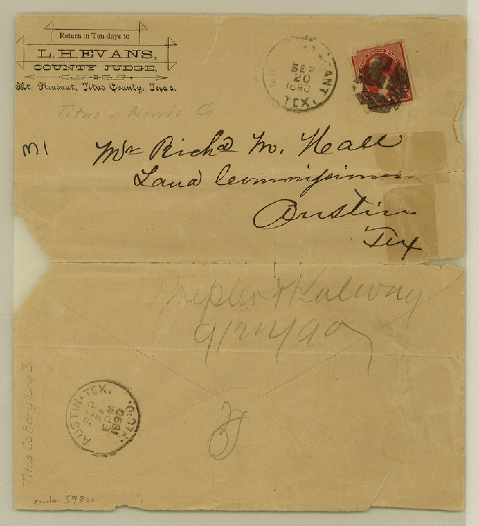
Titus County Boundary File 3
[Letter regarding Titus-Morris Boundary line]
-
Map/Doc
59300
-
Collection
General Map Collection
-
Counties
Titus
-
Subjects
County Boundaries
-
Height x Width
7.6 x 6.9 inches
19.3 x 17.5 cm
Part of: General Map Collection
Freestone County Sketch File 13

Print $4.00
- Digital $50.00
Freestone County Sketch File 13
1860
Size 8.3 x 8.1 inches
Map/Doc 23063
Flight Mission No. CLL-4N, Frame 37, Willacy County

Print $20.00
- Digital $50.00
Flight Mission No. CLL-4N, Frame 37, Willacy County
1954
Size 18.4 x 22.1 inches
Map/Doc 87110
Pecos County Rolled Sketch 6

Print $20.00
- Digital $50.00
Pecos County Rolled Sketch 6
Size 43.6 x 31.2 inches
Map/Doc 9680
Mills County Working Sketch 25

Print $20.00
- Digital $50.00
Mills County Working Sketch 25
1988
Size 22.0 x 25.1 inches
Map/Doc 71055
Map of Dallas County Showing Location of Texas and Pacific Railway

Print $20.00
- Digital $50.00
Map of Dallas County Showing Location of Texas and Pacific Railway
1872
Size 25.2 x 21.4 inches
Map/Doc 64134
Travis County Appraisal District Plat Map 2_1804

Print $20.00
- Digital $50.00
Travis County Appraisal District Plat Map 2_1804
Size 21.6 x 26.5 inches
Map/Doc 94203
Flight Mission No. BRA-7M, Frame 79, Jefferson County

Print $20.00
- Digital $50.00
Flight Mission No. BRA-7M, Frame 79, Jefferson County
1953
Size 16.0 x 15.8 inches
Map/Doc 85501
Zavala County Working Sketch 26

Print $20.00
- Digital $50.00
Zavala County Working Sketch 26
1990
Size 22.4 x 27.9 inches
Map/Doc 62101
FT. W. & R. G. Ry. Right of Way Map, Winchell to Brady, McCulloch County, Texas

Print $20.00
- Digital $50.00
FT. W. & R. G. Ry. Right of Way Map, Winchell to Brady, McCulloch County, Texas
1918
Size 36.9 x 32.0 inches
Map/Doc 61416
Rockwall County Sketch File 1

Print $22.00
Rockwall County Sketch File 1
Size 14.5 x 16.1 inches
Map/Doc 35413
Jack County Working Sketch Graphic Index

Print $20.00
- Digital $50.00
Jack County Working Sketch Graphic Index
1925
Size 45.4 x 37.3 inches
Map/Doc 76589
Map No. 1 - Rio Bravo del Norte section of boundary between the United States & Mexico agreed upon by the Joint Commission under the Treaty of Guadalupe Hidalgo

Print $20.00
- Digital $50.00
Map No. 1 - Rio Bravo del Norte section of boundary between the United States & Mexico agreed upon by the Joint Commission under the Treaty of Guadalupe Hidalgo
1852
Size 18.4 x 27.0 inches
Map/Doc 72864
You may also like
Brewster County Sketch File N-3c

Print $4.00
- Digital $50.00
Brewster County Sketch File N-3c
Size 12.7 x 8.4 inches
Map/Doc 15594
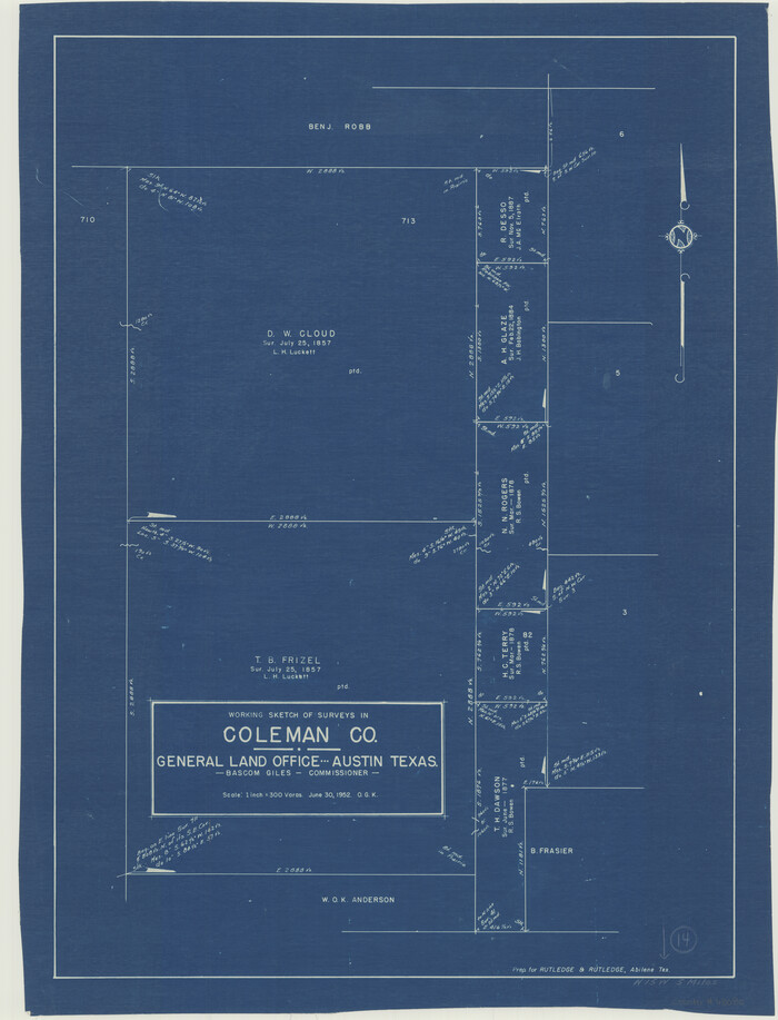
Coleman County Working Sketch 14
Print $20.00
- Digital $50.00
Coleman County Working Sketch 14
1952
Size 27.8 x 21.2 inches
Map/Doc 68080
Fort Bend County Working Sketch 1

Print $20.00
- Digital $50.00
Fort Bend County Working Sketch 1
Size 16.0 x 27.4 inches
Map/Doc 69207
Flight Mission No. DQO-7K, Frame 80, Galveston County

Print $20.00
- Digital $50.00
Flight Mission No. DQO-7K, Frame 80, Galveston County
1952
Size 18.8 x 22.4 inches
Map/Doc 85107
Loving County Boundary File 1

Print $6.00
- Digital $50.00
Loving County Boundary File 1
Size 11.2 x 8.7 inches
Map/Doc 56452
Crockett County Sketch File 56

Print $20.00
- Digital $50.00
Crockett County Sketch File 56
Size 19.6 x 19.0 inches
Map/Doc 11224
El Paso County Boundary File 13

Print $37.00
- Digital $50.00
El Paso County Boundary File 13
Size 11.1 x 8.6 inches
Map/Doc 53161
Rusk County Sketch File 28

Print $24.00
Rusk County Sketch File 28
1937
Size 11.4 x 8.7 inches
Map/Doc 35542
Hudspeth County Working Sketch 60

Print $20.00
- Digital $50.00
Hudspeth County Working Sketch 60
1992
Size 36.1 x 33.6 inches
Map/Doc 66345
Flight Mission No. DQN-2K, Frame 24, Calhoun County

Print $20.00
- Digital $50.00
Flight Mission No. DQN-2K, Frame 24, Calhoun County
1953
Size 18.6 x 22.2 inches
Map/Doc 84231
Abstract of Land Titles in the Spanish Department of the General Land Office of the State of Texas - 1824-36

Abstract of Land Titles in the Spanish Department of the General Land Office of the State of Texas - 1824-36
1857
Size 17.6 x 11.9 inches
Map/Doc 94535
Township No. 2 South Range No. 19 West of the Indian Meridian

Print $20.00
- Digital $50.00
Township No. 2 South Range No. 19 West of the Indian Meridian
1875
Size 19.2 x 24.8 inches
Map/Doc 75181