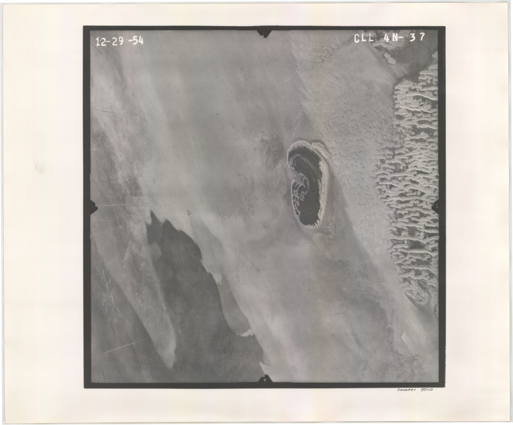
Flight Mission No. CLL-4N, Frame 37, Willacy County
CLL-4N-37
-
Map/Doc
87110
-
Collection
General Map Collection
-
Object Dates
1954/12/29 (Creation Date)
-
People and Organizations
U. S. Department of Agriculture (Publisher)
-
Counties
Willacy
-
Subjects
Aerial Photograph
-
Height x Width
18.4 x 22.1 inches
46.7 x 56.1 cm
-
Comments
Flown by Puckett Aerial Surveys, Inc. of Jackson, Mississippi.
Part of: General Map Collection
Map of McClennan County

Print $20.00
- Digital $50.00
Map of McClennan County
1871
Size 18.0 x 21.7 inches
Map/Doc 3862
Map of Burleson County

Print $20.00
- Digital $50.00
Map of Burleson County
1856
Size 22.0 x 31.5 inches
Map/Doc 3345
Reagan County Sketch File 7

Print $6.00
- Digital $50.00
Reagan County Sketch File 7
1928
Size 11.2 x 8.7 inches
Map/Doc 34986
Val Verde County Rolled Sketch 68

Print $20.00
- Digital $50.00
Val Verde County Rolled Sketch 68
1958
Size 17.6 x 18.7 inches
Map/Doc 8131
Flight Mission No. BQR-13K, Frame 26, Brazoria County

Print $20.00
- Digital $50.00
Flight Mission No. BQR-13K, Frame 26, Brazoria County
1952
Size 18.7 x 22.4 inches
Map/Doc 84074
Map of R. H. Welder Ranch, San Patricio County, Texas

Print $40.00
- Digital $50.00
Map of R. H. Welder Ranch, San Patricio County, Texas
1953
Size 30.0 x 61.4 inches
Map/Doc 61406
Montague County Sketch File 15

Print $6.00
- Digital $50.00
Montague County Sketch File 15
1880
Size 11.0 x 15.1 inches
Map/Doc 31742
Copy of Surveyor's Field Book, Morris Browning - In Blocks 7, 5 & 4, I&GNRRCo., Hutchinson and Carson Counties, Texas

Print $2.00
- Digital $50.00
Copy of Surveyor's Field Book, Morris Browning - In Blocks 7, 5 & 4, I&GNRRCo., Hutchinson and Carson Counties, Texas
1888
Size 7.0 x 8.8 inches
Map/Doc 62272
[Galveston, Harrisburg & San Antonio Railroad from Cuero to Stockdale]
![64200, [Galveston, Harrisburg & San Antonio Railroad from Cuero to Stockdale], General Map Collection](https://historictexasmaps.com/wmedia_w700/maps/64200.tif.jpg)
Print $20.00
- Digital $50.00
[Galveston, Harrisburg & San Antonio Railroad from Cuero to Stockdale]
1907
Size 14.0 x 34.1 inches
Map/Doc 64200
Ector County Rolled Sketch WA

Print $20.00
- Digital $50.00
Ector County Rolled Sketch WA
Size 26.2 x 30.0 inches
Map/Doc 5780
Texas, San Antonio Bay, Hynes Bay

Print $40.00
- Digital $50.00
Texas, San Antonio Bay, Hynes Bay
1934
Size 33.0 x 48.9 inches
Map/Doc 69998
Outer Continental Shelf Leasing Maps (Louisiana Offshore Operations)

Print $20.00
- Digital $50.00
Outer Continental Shelf Leasing Maps (Louisiana Offshore Operations)
1954
Size 15.8 x 10.0 inches
Map/Doc 76109
You may also like
Sketch in Hardeman Co.

Print $3.00
- Digital $50.00
Sketch in Hardeman Co.
1890
Size 12.4 x 11.0 inches
Map/Doc 75925
Geological Map of the route explored by Lieut. A.W. Whipple, Corps of Topl. Engrs. near the Parallel of 35° North Latitude from the Mississippi River to the Pacific Ocean 1853-1854

Print $20.00
- Digital $50.00
Geological Map of the route explored by Lieut. A.W. Whipple, Corps of Topl. Engrs. near the Parallel of 35° North Latitude from the Mississippi River to the Pacific Ocean 1853-1854
1854
Size 11.2 x 39.3 inches
Map/Doc 95750
Garza County Sketch File X

Print $22.00
- Digital $50.00
Garza County Sketch File X
Size 17.1 x 12.3 inches
Map/Doc 24042
Van Zandt County Sketch File 19

Print $4.00
- Digital $50.00
Van Zandt County Sketch File 19
1858
Size 9.7 x 7.7 inches
Map/Doc 39422
Flight Mission No. CRC-6R, Frame 10, Chambers County

Print $20.00
- Digital $50.00
Flight Mission No. CRC-6R, Frame 10, Chambers County
1956
Size 18.6 x 22.4 inches
Map/Doc 84964
Presidio County Sketch File 1

Print $40.00
- Digital $50.00
Presidio County Sketch File 1
1857
Size 24.7 x 16.0 inches
Map/Doc 11703
Flight Mission No. DQO-7K, Frame 111, Galveston County

Print $20.00
- Digital $50.00
Flight Mission No. DQO-7K, Frame 111, Galveston County
1952
Size 18.7 x 22.4 inches
Map/Doc 85126

Flight Mission No. DAG-26K, Frame 63, Matagorda County

Print $20.00
- Digital $50.00
Flight Mission No. DAG-26K, Frame 63, Matagorda County
1953
Size 18.5 x 22.2 inches
Map/Doc 86583
Flight Mission No. CGI-3N, Frame 135, Cameron County

Print $20.00
- Digital $50.00
Flight Mission No. CGI-3N, Frame 135, Cameron County
1954
Size 18.7 x 22.1 inches
Map/Doc 84608
Upton County Working Sketch 7

Print $20.00
- Digital $50.00
Upton County Working Sketch 7
1912
Size 26.3 x 29.9 inches
Map/Doc 69503
Part of Tom Green County, Texas (No. 1)

Print $20.00
- Digital $50.00
Part of Tom Green County, Texas (No. 1)
1870
Size 22.8 x 17.7 inches
Map/Doc 759