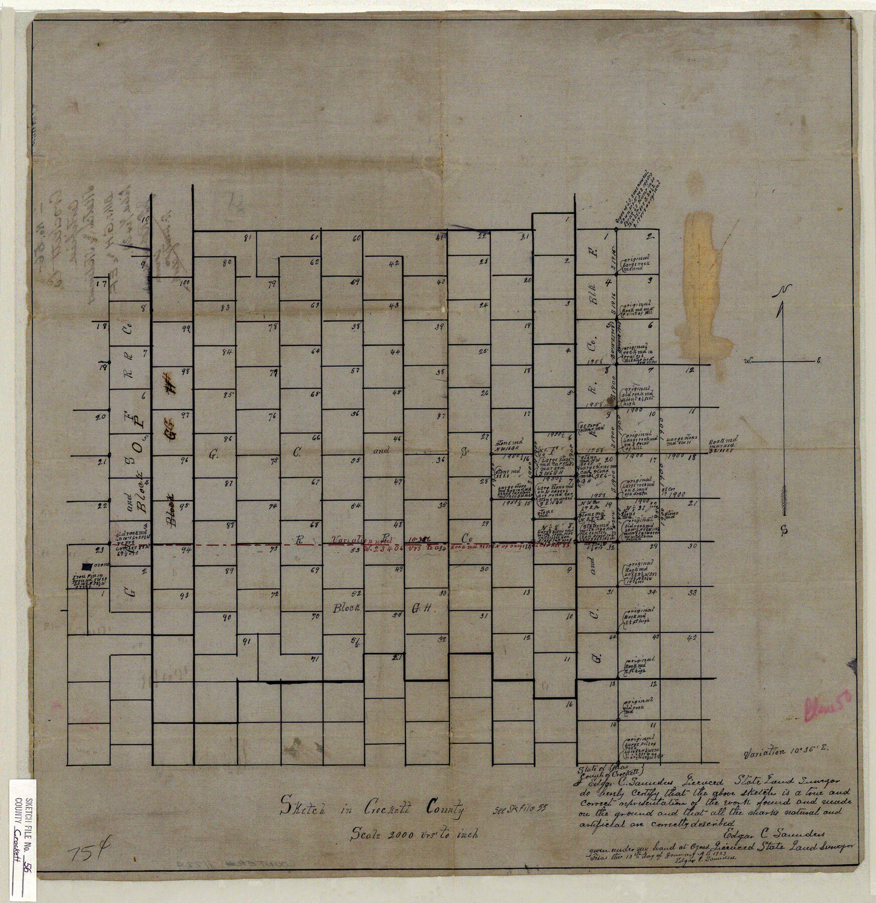
Crockett County Sketch File 56
Sketch and Statement Blks. G.H. and EF
-
Map/Doc
11224
-
Collection
General Map Collection
-
Object Dates
1923/2/24 (File Date)
-
People and Organizations
Edgar C. Saunders (Surveyor/Engineer)
-
Counties
Crockett
-
Subjects
Surveying Sketch File
-
Height x Width
19.6 x 19.0 inches
49.8 x 48.3 cm
-
Medium
paper, manuscript
-
Scale
1:2000
Part of: General Map Collection
Upton County Working Sketch 10

Print $20.00
- Digital $50.00
Upton County Working Sketch 10
1926
Size 28.1 x 30.6 inches
Map/Doc 69506
Maps of Gulf Intracoastal Waterway, Texas - Sabine River to the Rio Grande and connecting waterways including ship channels

Print $20.00
- Digital $50.00
Maps of Gulf Intracoastal Waterway, Texas - Sabine River to the Rio Grande and connecting waterways including ship channels
1966
Size 14.6 x 22.4 inches
Map/Doc 61924
Jackson County Working Sketch 12

Print $20.00
- Digital $50.00
Jackson County Working Sketch 12
Size 31.2 x 33.0 inches
Map/Doc 66460
Flight Mission No. DQN-1K, Frame 115, Calhoun County

Print $20.00
- Digital $50.00
Flight Mission No. DQN-1K, Frame 115, Calhoun County
1953
Size 18.6 x 22.3 inches
Map/Doc 84181
Menard County Sketch File 19

Print $4.00
- Digital $50.00
Menard County Sketch File 19
1905
Size 11.2 x 8.8 inches
Map/Doc 31546
Loving County Working Sketch 2

Print $20.00
- Digital $50.00
Loving County Working Sketch 2
1937
Size 33.9 x 42.5 inches
Map/Doc 70634
Map of Encinal County

Print $20.00
- Digital $50.00
Map of Encinal County
1878
Size 32.8 x 22.7 inches
Map/Doc 3514
Nolan County Sketch File C

Print $20.00
- Digital $50.00
Nolan County Sketch File C
1902
Size 14.4 x 31.5 inches
Map/Doc 42172
Gaines County Rolled Sketch 11

Print $20.00
- Digital $50.00
Gaines County Rolled Sketch 11
1939
Size 22.4 x 32.9 inches
Map/Doc 5931
Ward County Working Sketch 39

Print $20.00
- Digital $50.00
Ward County Working Sketch 39
1969
Size 24.2 x 45.5 inches
Map/Doc 72345
Limestone County Sketch File 28

Print $54.00
- Digital $50.00
Limestone County Sketch File 28
1986
Size 11.2 x 8.5 inches
Map/Doc 30216
Travis County Appraisal District Plat Map 3_0404

Print $20.00
- Digital $50.00
Travis County Appraisal District Plat Map 3_0404
Size 21.5 x 26.4 inches
Map/Doc 94226
You may also like
Terrell County Rolled Sketch 38

Print $20.00
- Digital $50.00
Terrell County Rolled Sketch 38
Size 22.7 x 18.0 inches
Map/Doc 7942
Foard County Sketch File 9

Print $20.00
- Digital $50.00
Foard County Sketch File 9
1882
Size 19.7 x 17.1 inches
Map/Doc 11492
Le Vieux Mexique ou Nouvelle Espagne avec les costes de la Floride faisant partie de l'Amerique Septentrionale

Print $20.00
- Digital $50.00
Le Vieux Mexique ou Nouvelle Espagne avec les costes de la Floride faisant partie de l'Amerique Septentrionale
1702
Size 11.2 x 15.5 inches
Map/Doc 95922
Hutchinson County Working Sketch 14

Print $20.00
- Digital $50.00
Hutchinson County Working Sketch 14
1930
Size 18.4 x 25.8 inches
Map/Doc 66372
Gonzales County Working Sketch 7

Print $20.00
- Digital $50.00
Gonzales County Working Sketch 7
1981
Size 19.1 x 17.0 inches
Map/Doc 63223
Cameron County Rolled Sketch 26

Print $20.00
- Digital $50.00
Cameron County Rolled Sketch 26
Size 18.5 x 24.3 inches
Map/Doc 5390
Flight Mission No. CUG-2P, Frame 67, Kleberg County

Print $20.00
- Digital $50.00
Flight Mission No. CUG-2P, Frame 67, Kleberg County
1956
Size 18.5 x 22.3 inches
Map/Doc 86204
Presidio County Sketch File 28

Print $20.00
- Digital $50.00
Presidio County Sketch File 28
1890
Size 30.2 x 16.1 inches
Map/Doc 11709
Map of Calhoun County, Texas

Print $20.00
- Digital $50.00
Map of Calhoun County, Texas
1879
Size 22.8 x 18.7 inches
Map/Doc 670
Flight Mission No. BQR-22K, Frame 35, Brazoria County

Print $20.00
- Digital $50.00
Flight Mission No. BQR-22K, Frame 35, Brazoria County
1953
Size 18.7 x 22.5 inches
Map/Doc 84119
Starr County Rolled Sketch 15

Print $20.00
- Digital $50.00
Starr County Rolled Sketch 15
1913
Size 22.7 x 23.6 inches
Map/Doc 7800
Description of Best Route from San Antonio to Laredo, Texas

Print $20.00
Description of Best Route from San Antonio to Laredo, Texas
1865
Size 28.6 x 13.7 inches
Map/Doc 79302