[Sketch for Mineral Application 33721 - 33725 Incl. - Padre and Mustang Island]
K-1-13 (a-l)
-
Map/Doc
2878
-
Collection
General Map Collection
-
Object Dates
1942 (Creation Date)
-
People and Organizations
J.S. Boyles (Surveyor/Engineer)
-
Counties
Cameron Willacy Kleberg Nueces Kenedy
-
Subjects
Energy Offshore Submerged Area
-
Height x Width
29.8 x 22.7 inches
75.7 x 57.7 cm
Part of: General Map Collection
San Augustine County Working Sketch 3


Print $20.00
- Digital $50.00
San Augustine County Working Sketch 3
1934
Size 22.9 x 13.6 inches
Map/Doc 63690
[Right of Way & Track Map, The Texas & Pacific Ry. Co. Main Line]
![64681, [Right of Way & Track Map, The Texas & Pacific Ry. Co. Main Line], General Map Collection](https://historictexasmaps.com/wmedia_w700/maps/64681.tif.jpg)
![64681, [Right of Way & Track Map, The Texas & Pacific Ry. Co. Main Line], General Map Collection](https://historictexasmaps.com/wmedia_w700/maps/64681.tif.jpg)
Print $20.00
- Digital $50.00
[Right of Way & Track Map, The Texas & Pacific Ry. Co. Main Line]
Size 11.0 x 19.0 inches
Map/Doc 64681
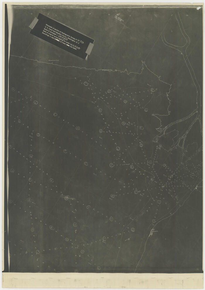
Photostat of section of hydrographic surveys H-5399, H-4822, H-470

Print $20.00
- Digital $50.00
Photostat of section of hydrographic surveys H-5399, H-4822, H-470
1933
Size 25.9 x 18.3 inches
Map/Doc 61158
Flight Mission No. CRC-4R, Frame 100, Chambers County

Print $20.00
- Digital $50.00
Flight Mission No. CRC-4R, Frame 100, Chambers County
1956
Size 18.5 x 22.2 inches
Map/Doc 84897
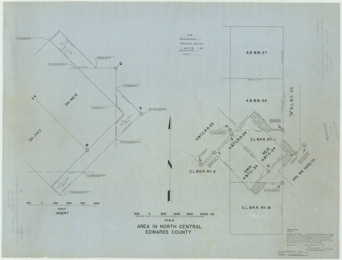
Edwards County Rolled Sketch 23

Print $20.00
- Digital $50.00
Edwards County Rolled Sketch 23
1952
Size 26.3 x 34.7 inches
Map/Doc 8846
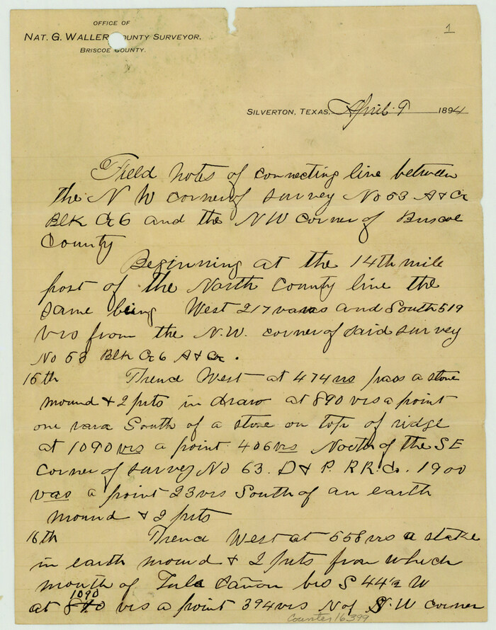
Briscoe County Sketch File A-1

Print $16.00
- Digital $50.00
Briscoe County Sketch File A-1
1894
Size 10.7 x 8.4 inches
Map/Doc 16399
Denton County Sketch File 43


Print $20.00
- Digital $50.00
Denton County Sketch File 43
2006
Size 11.0 x 8.5 inches
Map/Doc 83610
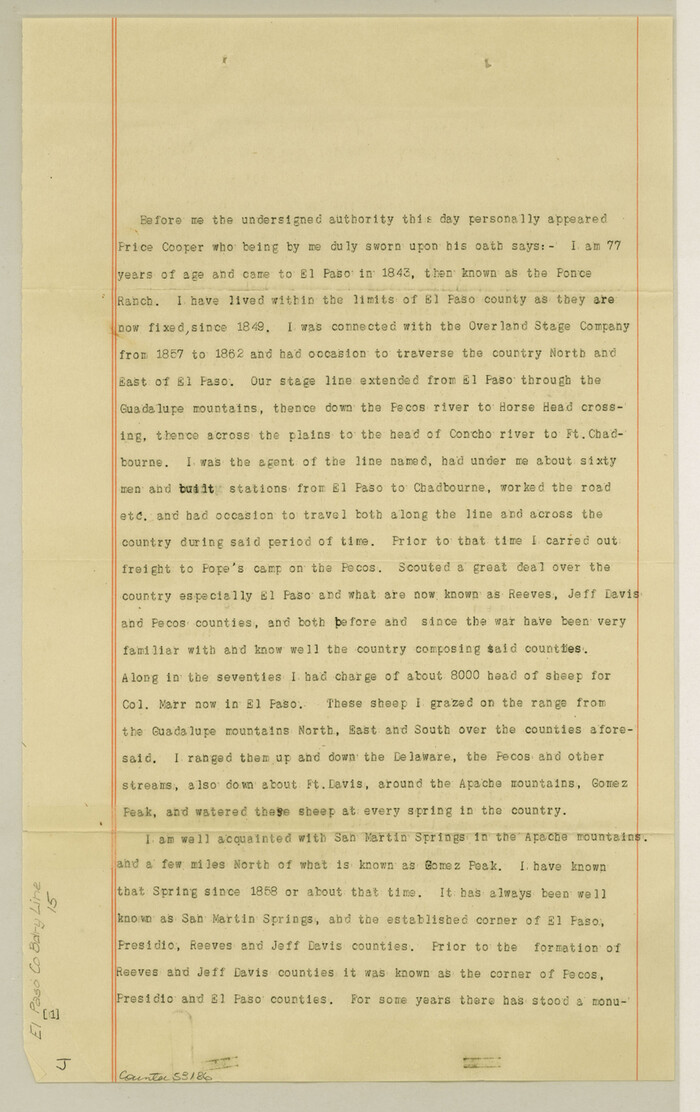
El Paso County Boundary File 15

Print $7.00
- Digital $50.00
El Paso County Boundary File 15
Size 13.7 x 8.6 inches
Map/Doc 53186
The Western Coast of Louisiana and The Coast of New Leon


Print $20.00
- Digital $50.00
The Western Coast of Louisiana and The Coast of New Leon
1775
Size 21.1 x 28.7 inches
Map/Doc 93705
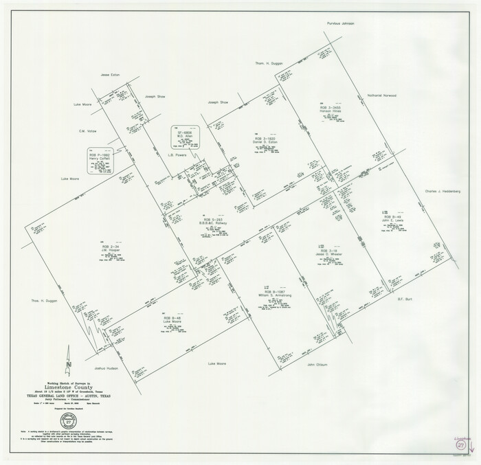
Limestone County Working Sketch 27

Print $20.00
- Digital $50.00
Limestone County Working Sketch 27
2008
Size 34.4 x 35.6 inches
Map/Doc 88767
Baylor County Sketch File 32


Print $10.00
- Digital $50.00
Baylor County Sketch File 32
Size 10.2 x 8.2 inches
Map/Doc 14238
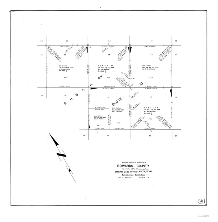
Edwards County Working Sketch 114

Print $20.00
- Digital $50.00
Edwards County Working Sketch 114
1972
Size 33.6 x 33.1 inches
Map/Doc 68990
You may also like
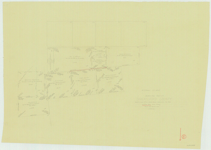
Shackelford County Working Sketch 5

Print $20.00
- Digital $50.00
Shackelford County Working Sketch 5
1936
Size 22.5 x 31.6 inches
Map/Doc 63845
Working Sketch in Bailey County
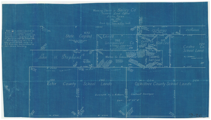

Print $20.00
- Digital $50.00
Working Sketch in Bailey County
1906
Size 22.2 x 12.5 inches
Map/Doc 90184
Map of Harris County, Texas
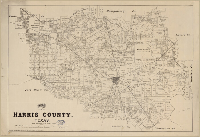

Print $20.00
Map of Harris County, Texas
1879
Size 24.8 x 36.0 inches
Map/Doc 88948
Flight Mission No. CUG-3P, Frame 165, Kleberg County


Print $20.00
- Digital $50.00
Flight Mission No. CUG-3P, Frame 165, Kleberg County
1956
Size 18.5 x 22.2 inches
Map/Doc 86285
Shackelford County Boundary File 79

Print $26.00
- Digital $50.00
Shackelford County Boundary File 79
Size 9.5 x 4.0 inches
Map/Doc 58737
Brazos County Working Sketch 3
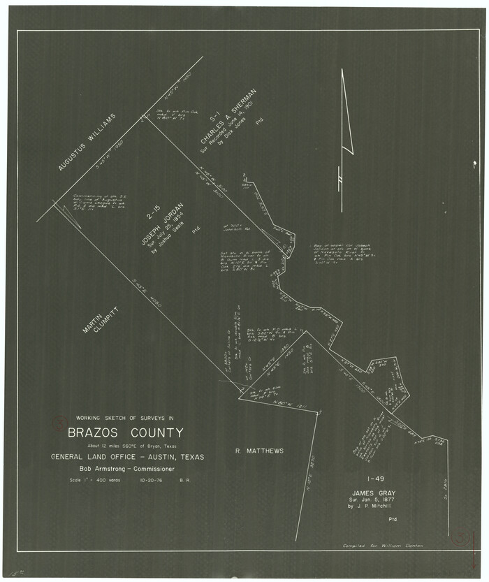

Print $20.00
- Digital $50.00
Brazos County Working Sketch 3
1976
Size 22.0 x 18.4 inches
Map/Doc 67478
The Republic County of Nacogdoches. Proposed, Late Fall 1837


Print $20.00
The Republic County of Nacogdoches. Proposed, Late Fall 1837
2020
Size 17.5 x 21.7 inches
Map/Doc 96242
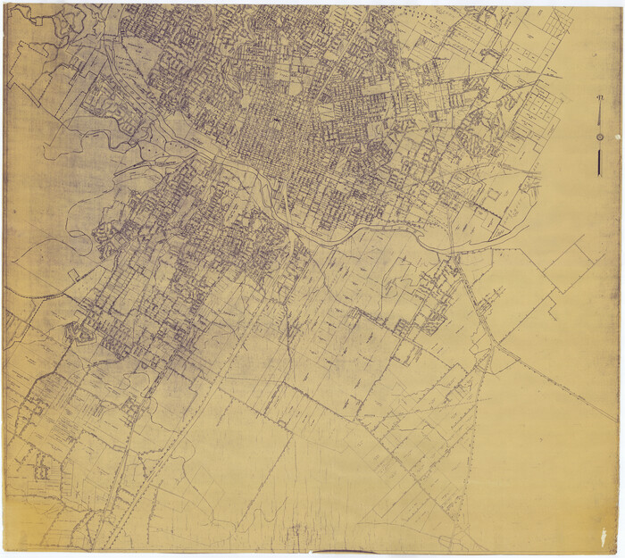
City of Austin, Texas and Suburban Territory

Print $40.00
- Digital $50.00
City of Austin, Texas and Suburban Territory
1952
Size 52.9 x 47.2 inches
Map/Doc 73582
Brewster County Rolled Sketch 19B


Print $40.00
- Digital $50.00
Brewster County Rolled Sketch 19B
1881
Size 48.5 x 39.4 inches
Map/Doc 8472
Real County Working Sketch 34


Print $20.00
- Digital $50.00
Real County Working Sketch 34
1948
Size 25.6 x 29.0 inches
Map/Doc 71926
Bell County Working Sketch 5


Print $20.00
- Digital $50.00
Bell County Working Sketch 5
1942
Size 26.9 x 21.0 inches
Map/Doc 67345
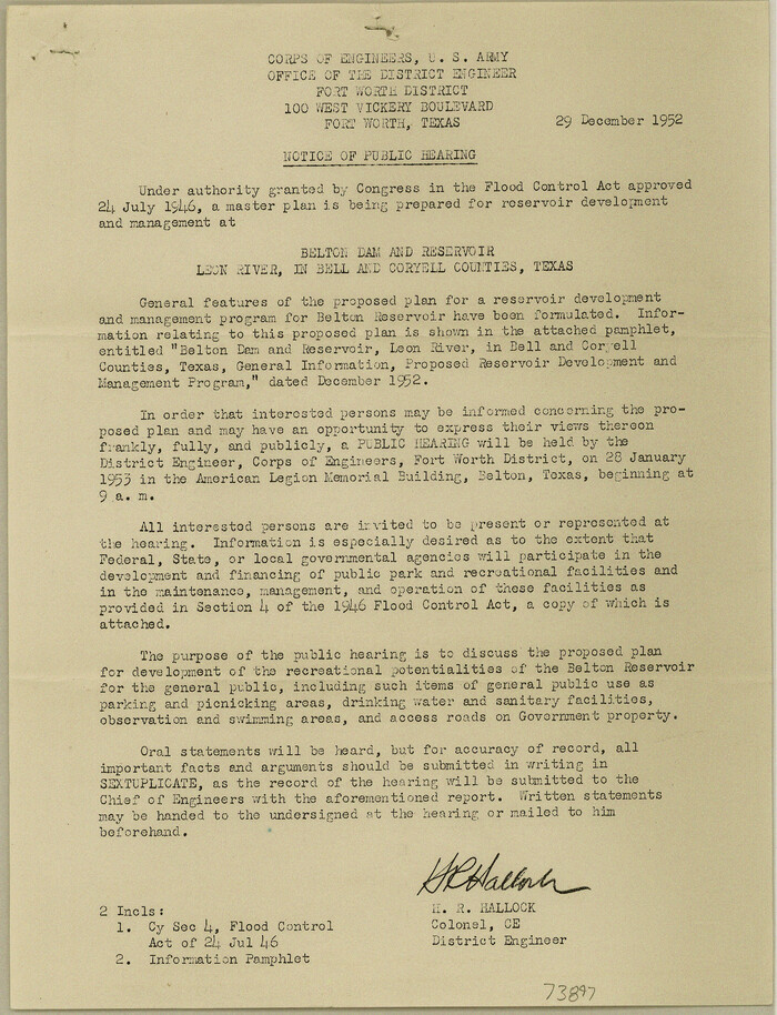
Current Miscellaneous File 25

Print $24.00
- Digital $50.00
Current Miscellaneous File 25
1953
Size 10.6 x 8.2 inches
Map/Doc 73897
![2878, [Sketch for Mineral Application 33721 - 33725 Incl. - Padre and Mustang Island], General Map Collection](https://historictexasmaps.com/wmedia_w1800h1800/maps/2878.tif.jpg)