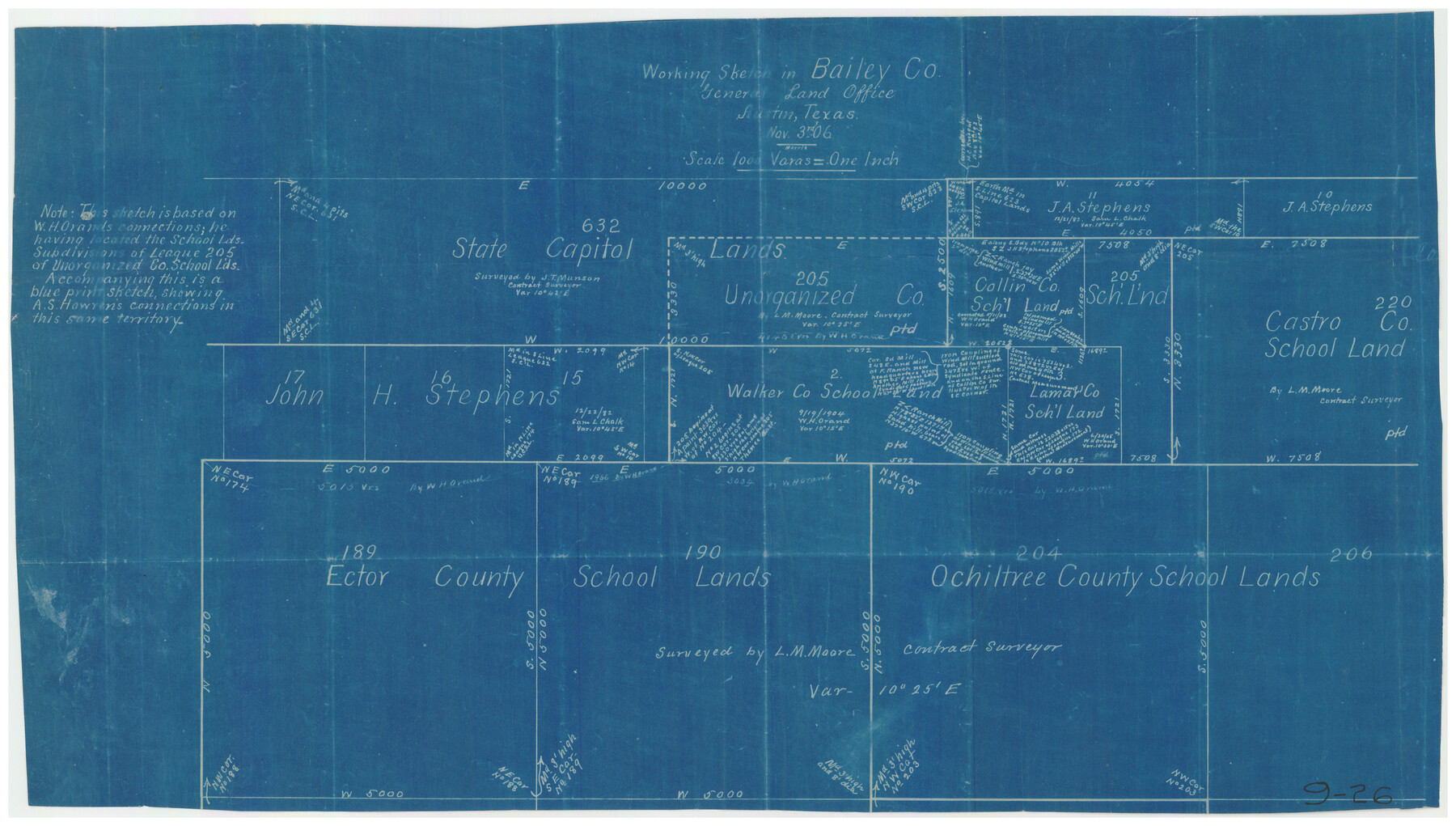
Working Sketch in Bailey County
9-26
-
Map/Doc
90184
-
Collection
Twichell Survey Records
-
Object Dates
11/3/1906 (Creation Date)
-
Counties
Bailey
-
Height x Width
22.2 x 12.5 inches
56.4 x 31.8 cm
Part of: Twichell Survey Records
John H. Stephens Block S2, State Capitol Leagues

Print $20.00
- Digital $50.00
John H. Stephens Block S2, State Capitol Leagues
Size 28.6 x 23.2 inches
Map/Doc 92995
[West half of Deaf Smith County showing School Land Leagues]
![90612, [West half of Deaf Smith County showing School Land Leagues], Twichell Survey Records](https://historictexasmaps.com/wmedia_w700/maps/90612-1.tif.jpg)
Print $20.00
- Digital $50.00
[West half of Deaf Smith County showing School Land Leagues]
Size 31.4 x 18.3 inches
Map/Doc 90612

Texas Boundary Line

Print $20.00
- Digital $50.00
Texas Boundary Line
Size 21.3 x 12.0 inches
Map/Doc 92079
[Southeast Corner of Glasscock County]
![90786, [Southeast Corner of Glasscock County], Twichell Survey Records](https://historictexasmaps.com/wmedia_w700/maps/90786-1.tif.jpg)
Print $20.00
- Digital $50.00
[Southeast Corner of Glasscock County]
Size 19.2 x 22.5 inches
Map/Doc 90786
[Warren Additions 3 and 4 and vicinity]
![92464, [Warren Additions 3 and 4 and vicinity], Twichell Survey Records](https://historictexasmaps.com/wmedia_w700/maps/92464-1.tif.jpg)
Print $20.00
- Digital $50.00
[Warren Additions 3 and 4 and vicinity]
Size 23.9 x 19.5 inches
Map/Doc 92464
[Rusk, Sutton, Garza, and Atascosa County School Lands]
![91125, [Rusk, Sutton, Garza, and Atascosa County School Lands], Twichell Survey Records](https://historictexasmaps.com/wmedia_w700/maps/91125-1.tif.jpg)
Print $3.00
- Digital $50.00
[Rusk, Sutton, Garza, and Atascosa County School Lands]
1913
Size 12.5 x 9.4 inches
Map/Doc 91125
Miller-Stevens Subdivision Section 16, Block B

Print $20.00
- Digital $50.00
Miller-Stevens Subdivision Section 16, Block B
1944
Size 24.2 x 39.8 inches
Map/Doc 92401
Ellwood Farms Situated in Hockley, Lamb, and Hale Counties, Texas

Print $20.00
- Digital $50.00
Ellwood Farms Situated in Hockley, Lamb, and Hale Counties, Texas
Size 20.3 x 30.1 inches
Map/Doc 92229
[Southern Pacific Rail Road Co. Blocks 15 and 16 in Mitchell, Sterling and Coke Counties]
![91839, [Southern Pacific Rail Road Co. Blocks 15 and 16 in Mitchell, Sterling and Coke Counties], Twichell Survey Records](https://historictexasmaps.com/wmedia_w700/maps/91839-1.tif.jpg)
Print $20.00
- Digital $50.00
[Southern Pacific Rail Road Co. Blocks 15 and 16 in Mitchell, Sterling and Coke Counties]
Size 30.5 x 35.7 inches
Map/Doc 91839
East Half of Section 58. W. C. RR. Co. Block 3

Print $20.00
- Digital $50.00
East Half of Section 58. W. C. RR. Co. Block 3
1952
Size 8.7 x 18.8 inches
Map/Doc 92594
J. B. McCauley Farm NW Quarter Section 30, Block A

Print $20.00
- Digital $50.00
J. B. McCauley Farm NW Quarter Section 30, Block A
Size 16.4 x 18.8 inches
Map/Doc 92315
You may also like
Culberson County Working Sketch 1

Print $20.00
- Digital $50.00
Culberson County Working Sketch 1
Size 21.6 x 42.7 inches
Map/Doc 68453
Brewster County Rolled Sketch 60

Print $20.00
- Digital $50.00
Brewster County Rolled Sketch 60
Size 25.0 x 37.5 inches
Map/Doc 8484
Webb County Rolled Sketch EF5

Print $20.00
- Digital $50.00
Webb County Rolled Sketch EF5
1931
Size 41.4 x 32.0 inches
Map/Doc 8227
Pecos County Working Sketch 127

Print $40.00
- Digital $50.00
Pecos County Working Sketch 127
1974
Size 76.7 x 37.8 inches
Map/Doc 71601
Flight Mission No. CGI-3N, Frame 96, Cameron County

Print $20.00
- Digital $50.00
Flight Mission No. CGI-3N, Frame 96, Cameron County
1954
Size 18.5 x 22.1 inches
Map/Doc 84576
Flight Mission No. CUG-1P, Frame 50, Kleberg County

Print $20.00
- Digital $50.00
Flight Mission No. CUG-1P, Frame 50, Kleberg County
1956
Size 18.6 x 22.3 inches
Map/Doc 86128
Sterling County Working Sketch 8

Print $20.00
- Digital $50.00
Sterling County Working Sketch 8
1972
Size 40.7 x 35.9 inches
Map/Doc 63990
Glasscock County Boundary File 1

Print $18.00
- Digital $50.00
Glasscock County Boundary File 1
Size 14.4 x 9.0 inches
Map/Doc 53781
Galveston Harbor, Texas - U.S. Harbor Lines - Galveston Harbor, Galveston Channel, Channel from Galveston Harbor to Texas City and Channel to Port Bolivar

Print $20.00
- Digital $50.00
Galveston Harbor, Texas - U.S. Harbor Lines - Galveston Harbor, Galveston Channel, Channel from Galveston Harbor to Texas City and Channel to Port Bolivar
1939
Size 39.4 x 26.7 inches
Map/Doc 73631
San Patricio County Rolled Sketch 50

Print $29.00
- Digital $50.00
San Patricio County Rolled Sketch 50
1988
Size 18.2 x 23.5 inches
Map/Doc 7736
Jefferson County Rolled Sketch 39

Print $20.00
- Digital $50.00
Jefferson County Rolled Sketch 39
1885
Size 31.2 x 33.9 inches
Map/Doc 9299
Dimmit County Boundary File 8

Print $48.00
- Digital $50.00
Dimmit County Boundary File 8
Size 7.2 x 37.2 inches
Map/Doc 52597