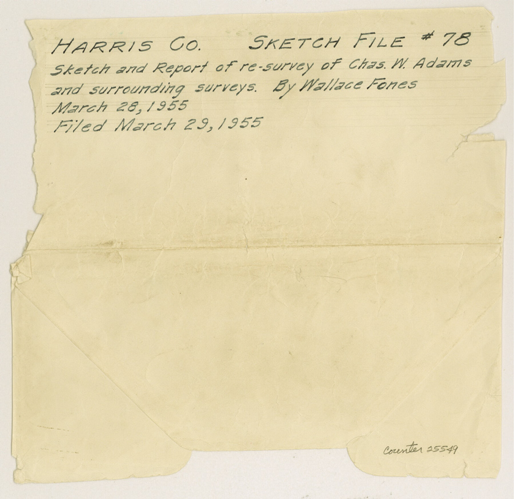
Harris County Sketch File 78
[Surveyor's report to accompany map and field notes of a corrected survey of the C. W. Adams survey, abstract 101 lying and being situation about 12.0 miles southwest of the county site of Harris County in the City of Houston, Texas]
-
Map/Doc
25549
-
Collection
General Map Collection
-
Object Dates
1955/3/28 (Creation Date)
1955/3/29 (File Date)
1955/3/28 (Survey Date)
1903 (Survey Date)
1931 (Survey Date)
1838/10/9 (Survey Date)
1840/2/14 (Survey Date)
1955/3/25 (Survey Date)
-
People and Organizations
Wallace Fones (Surveyor/Engineer)
Austin Miller (Surveyor/Engineer)
J.S. Boyles (Surveyor/Engineer)
H. Trott (Surveyor/Engineer)
J.W. Henderson (Surveyor/Engineer)
-
Counties
Harris
-
Subjects
Surveying Sketch File
-
Height x Width
8.7 x 9.0 inches
22.1 x 22.9 cm
-
Medium
paper, print
-
Scale
1:300
-
Features
South Fork of Brays Bayou
Sims Bayou
GH&SA
Highway 90
Part of: General Map Collection
Sterling County

Print $20.00
- Digital $50.00
Sterling County
1971
Size 44.7 x 33.4 inches
Map/Doc 73294
Shelby County Sketch File 21

Print $2.00
- Digital $50.00
Shelby County Sketch File 21
Size 8.9 x 4.0 inches
Map/Doc 36642
Duval County Boundary File 3b

Print $4.00
- Digital $50.00
Duval County Boundary File 3b
Size 12.9 x 8.2 inches
Map/Doc 52730
Jones County Sketch File 21

Print $56.00
- Digital $50.00
Jones County Sketch File 21
2010
Map/Doc 93292

Presidio County Working Sketch 121b

Print $20.00
- Digital $50.00
Presidio County Working Sketch 121b
1984
Size 36.0 x 41.5 inches
Map/Doc 71799
Leon County Sketch File 30

Print $6.00
- Digital $50.00
Leon County Sketch File 30
1951
Size 11.2 x 8.7 inches
Map/Doc 29829
Upton County Rolled Sketch 29

Print $20.00
- Digital $50.00
Upton County Rolled Sketch 29
1947
Size 32.0 x 45.3 inches
Map/Doc 10736
Harbor of Brazos Santiago, Texas

Print $20.00
- Digital $50.00
Harbor of Brazos Santiago, Texas
1887
Size 27.3 x 18.3 inches
Map/Doc 72992
McMullen County Working Sketch 5

Print $20.00
- Digital $50.00
McMullen County Working Sketch 5
1923
Size 21.8 x 19.0 inches
Map/Doc 70706
[Aerial photograph from Carancahua Bend of Caney Creek to Cedar Lake]
![78641, [Aerial photograph from Carancahua Bend of Caney Creek to Cedar Lake], General Map Collection](https://historictexasmaps.com/wmedia_w700/maps/78641.tif.jpg)
Print $20.00
- Digital $50.00
[Aerial photograph from Carancahua Bend of Caney Creek to Cedar Lake]
1991
Size 24.5 x 31.9 inches
Map/Doc 78641
Sutton County Working Sketch 62

Print $20.00
- Digital $50.00
Sutton County Working Sketch 62
1959
Size 31.3 x 38.1 inches
Map/Doc 62405
You may also like
Dallas County Working Sketch 17

Print $40.00
- Digital $50.00
Dallas County Working Sketch 17
Size 23.3 x 50.5 inches
Map/Doc 68583
Harris County Rolled Sketch 88

Print $20.00
- Digital $50.00
Harris County Rolled Sketch 88
1935
Size 19.2 x 22.5 inches
Map/Doc 6123
Kaufman County Boundary File 6b

Print $6.00
- Digital $50.00
Kaufman County Boundary File 6b
Size 14.2 x 8.5 inches
Map/Doc 55966
Tom Green County Rolled Sketch 23

Print $20.00
- Digital $50.00
Tom Green County Rolled Sketch 23
Size 19.1 x 21.9 inches
Map/Doc 8005
Henderson County Rolled Sketch 11

Print $20.00
- Digital $50.00
Henderson County Rolled Sketch 11
1915
Size 29.4 x 42.4 inches
Map/Doc 75950
Newton County Working Sketch 10

Print $20.00
- Digital $50.00
Newton County Working Sketch 10
1941
Size 17.1 x 21.6 inches
Map/Doc 71256
[Blocks RG, I and S]
![92726, [Blocks RG, I and S], Twichell Survey Records](https://historictexasmaps.com/wmedia_w700/maps/92726-1.tif.jpg)
Print $20.00
- Digital $50.00
[Blocks RG, I and S]
Size 36.7 x 37.2 inches
Map/Doc 92726
Chambers County Sketch File 45

Print $70.00
- Digital $50.00
Chambers County Sketch File 45
Size 8.9 x 8.3 inches
Map/Doc 17743
Milam County Working Sketch 15

Print $20.00
- Digital $50.00
Milam County Working Sketch 15
1911
Size 18.2 x 26.1 inches
Map/Doc 71030
Orange County Working Sketch 54b

Print $40.00
- Digital $50.00
Orange County Working Sketch 54b
2008
Size 38.0 x 50.3 inches
Map/Doc 88743
Flight Mission No. DQO-12K, Frame 42, Galveston County

Print $20.00
- Digital $50.00
Flight Mission No. DQO-12K, Frame 42, Galveston County
1952
Size 18.6 x 22.3 inches
Map/Doc 85232
Map of Townsite of Swearingen, Cottle County, Texas

Print $20.00
- Digital $50.00
Map of Townsite of Swearingen, Cottle County, Texas
1919
Size 28.1 x 17.1 inches
Map/Doc 4463