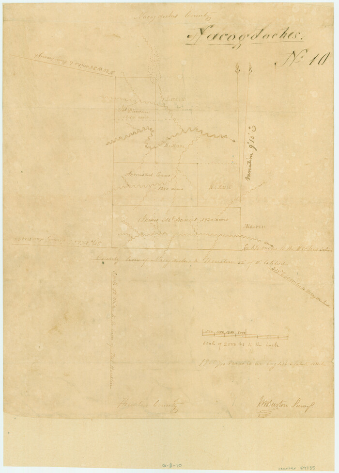
[Surveys in Henderson County, Nacogdoches/Houston District]
Print $2.00
- Digital $50.00
[Surveys in Henderson County, Nacogdoches/Houston District]
Size: 11.0 x 7.9 inches
69735
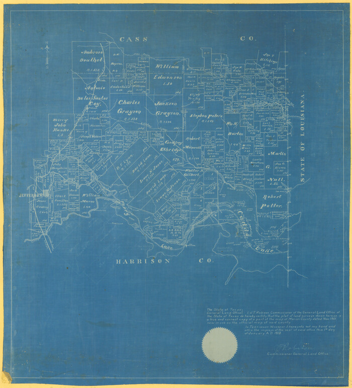
[Marion County, Texas]
Print $20.00
- Digital $50.00
[Marion County, Texas]
1901
Size: 26.5 x 24.1 inches
75777
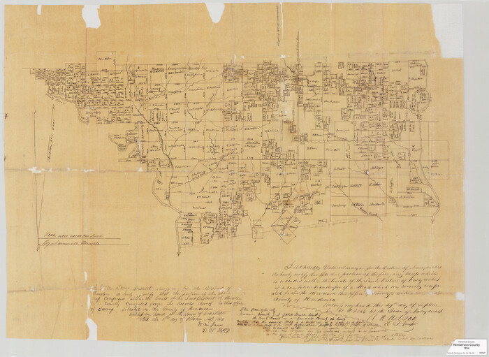
[Map of Henderson County]
Print $20.00
- Digital $50.00
[Map of Henderson County]
1854
Size: 29.7 x 22.0 inches
76767
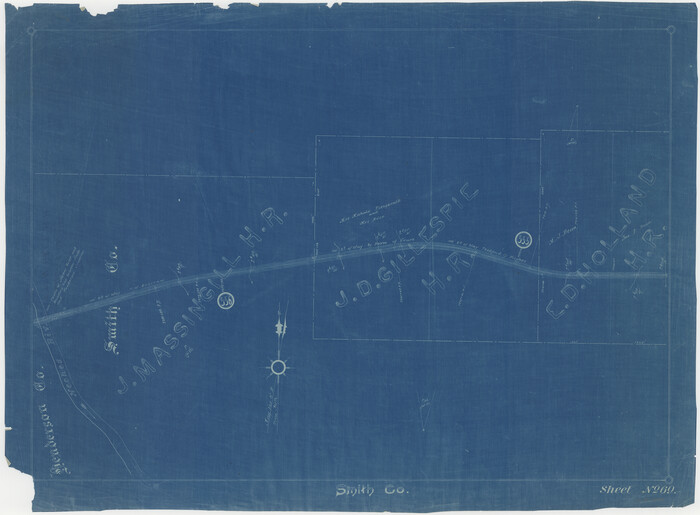
[Cotton Belt, St. Louis Southwestern Railway of Texas, Alignment through Smith County]
Print $20.00
- Digital $50.00
[Cotton Belt, St. Louis Southwestern Railway of Texas, Alignment through Smith County]
1903
Size: 21.7 x 29.5 inches
64387
Van Zandt County Sketch File 21

Print $4.00
- Digital $50.00
Van Zandt County Sketch File 21
1858
Size: 12.1 x 7.7 inches
39430
Van Zandt County Sketch File 15a

Print $4.00
- Digital $50.00
Van Zandt County Sketch File 15a
1858
Size: 6.7 x 8.1 inches
39406
Trinity River, Wildcat Ferry Sheet

Print $20.00
- Digital $50.00
Trinity River, Wildcat Ferry Sheet
1928
Size: 41.5 x 40.9 inches
65182
Trinity River, Trinidad Sheet

Print $20.00
- Digital $50.00
Trinity River, Trinidad Sheet
1928
Size: 39.0 x 46.3 inches
65183
Trinity River, South Extension Porters Bluff Sheet

Print $20.00
- Digital $50.00
Trinity River, South Extension Porters Bluff Sheet
1925
Size: 16.3 x 24.4 inches
69690
Trinity River, Porters Bluff Sheet

Print $20.00
- Digital $50.00
Trinity River, Porters Bluff Sheet
1925
Size: 27.4 x 23.6 inches
69689
Trinity River, North Extension Bazzette Sheet

Print $20.00
- Digital $50.00
Trinity River, North Extension Bazzette Sheet
1925
Size: 16.3 x 24.3 inches
69691
Trinity River, Levee Improvements, District Widths of Floodways

Print $20.00
- Digital $50.00
Trinity River, Levee Improvements, District Widths of Floodways
1920
Size: 25.0 x 18.6 inches
65252
Trinity River, Levee Improvement Districts, Widths of Floodways

Print $20.00
- Digital $50.00
Trinity River, Levee Improvement Districts, Widths of Floodways
1923
Size: 37.6 x 28.2 inches
65253
Trinity River, Levee Improvement Districts Widths of Floodways

Print $6.00
- Digital $50.00
Trinity River, Levee Improvement Districts Widths of Floodways
1920
Size: 33.9 x 23.0 inches
65249
Trinity River, Flagg Lake Sheet/Cedar Creek

Print $20.00
- Digital $50.00
Trinity River, Flagg Lake Sheet/Cedar Creek
1927
Size: 37.4 x 30.7 inches
65219
Trinity River, Club House Sheet

Print $20.00
- Digital $50.00
Trinity River, Club House Sheet
1925
Size: 27.7 x 23.7 inches
69688
Trinity River, Bazzette Sheet

Print $4.00
- Digital $50.00
Trinity River, Bazzette Sheet
1925
Size: 28.2 x 24.9 inches
65218
Trinity River, Bazzette Sheet

Print $20.00
- Digital $50.00
Trinity River, Bazzette Sheet
1925
Size: 27.4 x 23.6 inches
69692
Trinity River, Bazzette Sheet

Print $20.00
- Digital $50.00
Trinity River, Bazzette Sheet
1925
Size: 27.9 x 23.8 inches
78339
Sketch of Surveys on Neches River

Print $2.00
- Digital $50.00
Sketch of Surveys on Neches River
1845
Size: 5.7 x 5.9 inches
182
Neches River, Blackburn Bridge Sheet

Print $4.00
- Digital $50.00
Neches River, Blackburn Bridge Sheet
1938
Size: 27.6 x 20.5 inches
65083
Neches River, Big Eddy Bridge Sheet

Print $20.00
- Digital $50.00
Neches River, Big Eddy Bridge Sheet
1938
Size: 41.1 x 21.0 inches
65084
Map of Van Zandt County, Texas

Print $20.00
- Digital $50.00
Map of Van Zandt County, Texas
1879
Size: 20.6 x 21.7 inches
443
Map of Henderson County

Print $40.00
- Digital $50.00
Map of Henderson County
1897
Size: 27.7 x 56.8 inches
16849
Map of Henderson County

Print $20.00
- Digital $50.00
Map of Henderson County
1871
Size: 16.0 x 31.4 inches
3665
Map of Henderson County

Print $20.00
- Digital $50.00
Map of Henderson County
1877
Size: 17.7 x 29.2 inches
3666
Map of Henderson County

Print $20.00
- Digital $50.00
Map of Henderson County
1871
Size: 16.3 x 30.3 inches
4563
Map of Henderson County

Print $40.00
- Digital $50.00
Map of Henderson County
1897
Size: 28.9 x 58.9 inches
66860
Map of Henderson Co.

Print $40.00
- Digital $50.00
Map of Henderson Co.
1886
Size: 27.8 x 57.6 inches
3663
Kaufman County Sketch File 12

Print $4.00
- Digital $50.00
Kaufman County Sketch File 12
1862
Size: 12.9 x 8.2 inches
28647
[Surveys in Henderson County, Nacogdoches/Houston District]
Print $2.00
- Digital $50.00
[Surveys in Henderson County, Nacogdoches/Houston District]
-
Size
11.0 x 7.9 inches
-
Map/Doc
69735
[Marion County, Texas]
Print $20.00
- Digital $50.00
[Marion County, Texas]
1901
-
Size
26.5 x 24.1 inches
-
Map/Doc
75777
-
Creation Date
1901
[Map of Henderson County]
Print $20.00
- Digital $50.00
[Map of Henderson County]
1854
-
Size
29.7 x 22.0 inches
-
Map/Doc
76767
-
Creation Date
1854
[Cotton Belt, St. Louis Southwestern Railway of Texas, Alignment through Smith County]
Print $20.00
- Digital $50.00
[Cotton Belt, St. Louis Southwestern Railway of Texas, Alignment through Smith County]
1903
-
Size
21.7 x 29.5 inches
-
Map/Doc
64387
-
Creation Date
1903
Van Zandt County Sketch File 21
Print $4.00
- Digital $50.00
Van Zandt County Sketch File 21
1858
-
Size
12.1 x 7.7 inches
-
Map/Doc
39430
-
Creation Date
1858
Van Zandt County Sketch File 15a
Print $4.00
- Digital $50.00
Van Zandt County Sketch File 15a
1858
-
Size
6.7 x 8.1 inches
-
Map/Doc
39406
-
Creation Date
1858
Trinity River, Wildcat Ferry Sheet
Print $20.00
- Digital $50.00
Trinity River, Wildcat Ferry Sheet
1928
-
Size
41.5 x 40.9 inches
-
Map/Doc
65182
-
Creation Date
1928
Trinity River, Trinidad Sheet
Print $20.00
- Digital $50.00
Trinity River, Trinidad Sheet
1928
-
Size
39.0 x 46.3 inches
-
Map/Doc
65183
-
Creation Date
1928
Trinity River, South Extension Porters Bluff Sheet
Print $20.00
- Digital $50.00
Trinity River, South Extension Porters Bluff Sheet
1925
-
Size
16.3 x 24.4 inches
-
Map/Doc
69690
-
Creation Date
1925
Trinity River, Porters Bluff Sheet
Print $20.00
- Digital $50.00
Trinity River, Porters Bluff Sheet
1925
-
Size
27.4 x 23.6 inches
-
Map/Doc
69689
-
Creation Date
1925
Trinity River, North Extension Bazzette Sheet
Print $20.00
- Digital $50.00
Trinity River, North Extension Bazzette Sheet
1925
-
Size
16.3 x 24.3 inches
-
Map/Doc
69691
-
Creation Date
1925
Trinity River, Levee Improvements, District Widths of Floodways
Print $20.00
- Digital $50.00
Trinity River, Levee Improvements, District Widths of Floodways
1920
-
Size
25.0 x 18.6 inches
-
Map/Doc
65252
-
Creation Date
1920
Trinity River, Levee Improvement Districts, Widths of Floodways
Print $20.00
- Digital $50.00
Trinity River, Levee Improvement Districts, Widths of Floodways
1923
-
Size
37.6 x 28.2 inches
-
Map/Doc
65253
-
Creation Date
1923
Trinity River, Levee Improvement Districts Widths of Floodways
Print $6.00
- Digital $50.00
Trinity River, Levee Improvement Districts Widths of Floodways
1920
-
Size
33.9 x 23.0 inches
-
Map/Doc
65249
-
Creation Date
1920
Trinity River, Flagg Lake Sheet/Cedar Creek
Print $20.00
- Digital $50.00
Trinity River, Flagg Lake Sheet/Cedar Creek
1927
-
Size
37.4 x 30.7 inches
-
Map/Doc
65219
-
Creation Date
1927
Trinity River, Club House Sheet
Print $20.00
- Digital $50.00
Trinity River, Club House Sheet
1925
-
Size
27.7 x 23.7 inches
-
Map/Doc
69688
-
Creation Date
1925
Trinity River, Bazzette Sheet
Print $4.00
- Digital $50.00
Trinity River, Bazzette Sheet
1925
-
Size
28.2 x 24.9 inches
-
Map/Doc
65218
-
Creation Date
1925
Trinity River, Bazzette Sheet
Print $20.00
- Digital $50.00
Trinity River, Bazzette Sheet
1925
-
Size
27.4 x 23.6 inches
-
Map/Doc
69692
-
Creation Date
1925
Trinity River, Bazzette Sheet
Print $20.00
- Digital $50.00
Trinity River, Bazzette Sheet
1925
-
Size
27.9 x 23.8 inches
-
Map/Doc
78339
-
Creation Date
1925
Sketch of Surveys on Neches River
Print $2.00
- Digital $50.00
Sketch of Surveys on Neches River
1845
-
Size
5.7 x 5.9 inches
-
Map/Doc
182
-
Creation Date
1845
Neches River, Blackburn Bridge Sheet
Print $4.00
- Digital $50.00
Neches River, Blackburn Bridge Sheet
1938
-
Size
27.6 x 20.5 inches
-
Map/Doc
65083
-
Creation Date
1938
Neches River, Big Eddy Bridge Sheet
Print $20.00
- Digital $50.00
Neches River, Big Eddy Bridge Sheet
1938
-
Size
41.1 x 21.0 inches
-
Map/Doc
65084
-
Creation Date
1938
Map of Van Zandt County, Texas
Print $20.00
- Digital $50.00
Map of Van Zandt County, Texas
1879
-
Size
20.6 x 21.7 inches
-
Map/Doc
443
-
Creation Date
1879
Map of Henderson County
Print $40.00
- Digital $50.00
Map of Henderson County
1897
-
Size
27.7 x 56.8 inches
-
Map/Doc
16849
-
Creation Date
1897
Map of Henderson County
Print $20.00
- Digital $50.00
Map of Henderson County
1871
-
Size
16.0 x 31.4 inches
-
Map/Doc
3665
-
Creation Date
1871
Map of Henderson County
Print $20.00
- Digital $50.00
Map of Henderson County
1877
-
Size
17.7 x 29.2 inches
-
Map/Doc
3666
-
Creation Date
1877
Map of Henderson County
Print $20.00
- Digital $50.00
Map of Henderson County
1871
-
Size
16.3 x 30.3 inches
-
Map/Doc
4563
-
Creation Date
1871
Map of Henderson County
Print $40.00
- Digital $50.00
Map of Henderson County
1897
-
Size
28.9 x 58.9 inches
-
Map/Doc
66860
-
Creation Date
1897
Map of Henderson Co.
Print $40.00
- Digital $50.00
Map of Henderson Co.
1886
-
Size
27.8 x 57.6 inches
-
Map/Doc
3663
-
Creation Date
1886
Kaufman County Sketch File 12
Print $4.00
- Digital $50.00
Kaufman County Sketch File 12
1862
-
Size
12.9 x 8.2 inches
-
Map/Doc
28647
-
Creation Date
1862