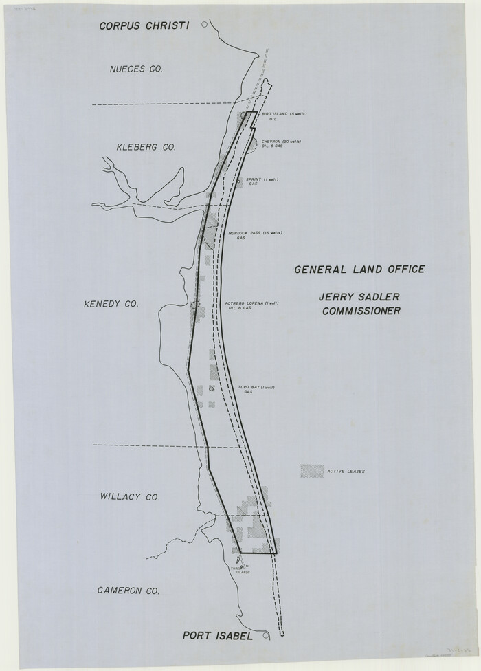
[Map of Henderson County]
Henderson County Sketch File 25
-
Map/Doc
76767
-
Collection
General Map Collection
-
Object Dates
6/5/1854 (Creation Date)
-
People and Organizations
Henderson County (Publisher)
James M. Trimble (Draftsman)
A.A. Nelson (Surveyor/Engineer)
-
Counties
Henderson
-
Subjects
County
-
Height x Width
29.7 x 22.0 inches
75.4 x 55.9 cm
-
Comments
See counter no. 26391 for the file envelope of this map.
Conservation funded by Friends of the Texas General Land Office in 2004. -
Features
Trinity River
Twin Creek
Clear Creek
Kickapoo Creek
Naches [sic] River
Flat Creek
Caney Creek
Walnut Creek
Cedar Creek
Caddo Creek
Catfish Creek
Finn Creek
Related maps
Henderson County Sketch File 25


Print $2.00
- Digital $50.00
Henderson County Sketch File 25
1854
Size 8.1 x 3.8 inches
Map/Doc 26391
Part of: General Map Collection
Travis County Boundary File 2

Print $42.00
- Digital $50.00
Travis County Boundary File 2
Size 9.3 x 7.2 inches
Map/Doc 59406
Aransas County Sketch File 16


Print $40.00
- Digital $50.00
Aransas County Sketch File 16
1877
Size 16.4 x 12.8 inches
Map/Doc 13147
West Half of Sabine Lake, Jefferson County, showing Subdivision for Mineral Development; do not use; see Map 25a


Print $20.00
- Digital $50.00
West Half of Sabine Lake, Jefferson County, showing Subdivision for Mineral Development; do not use; see Map 25a
1956
Size 38.2 x 28.4 inches
Map/Doc 1930
Val Verde County Sketch File M


Print $18.00
- Digital $50.00
Val Verde County Sketch File M
1920
Size 14.5 x 9.1 inches
Map/Doc 39275
Kendall County Sketch File 1

Print $4.00
- Digital $50.00
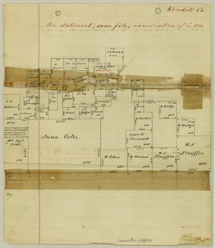
Kendall County Sketch File 1
Size 9.6 x 8.3 inches
Map/Doc 28671
McCulloch County Sketch File 6

Print $20.00
- Digital $50.00
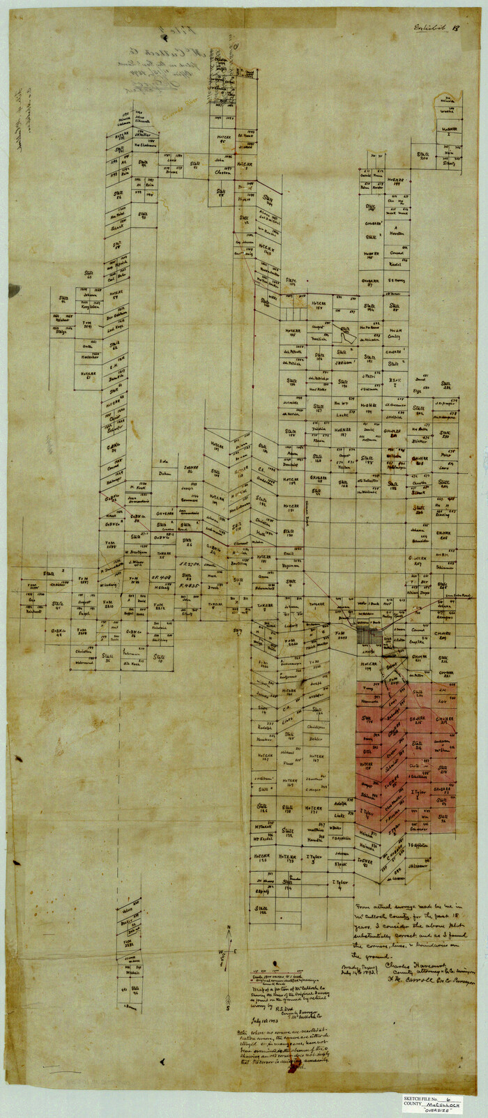
McCulloch County Sketch File 6
1893
Size 44.2 x 19.3 inches
Map/Doc 10539
Flight Mission No. CGI-1N, Frame 216, Cameron County

Print $20.00
- Digital $50.00
Flight Mission No. CGI-1N, Frame 216, Cameron County
1955
Size 18.5 x 22.2 inches
Map/Doc 84525
United States - Gulf Coast - Galveston to Rio Grande
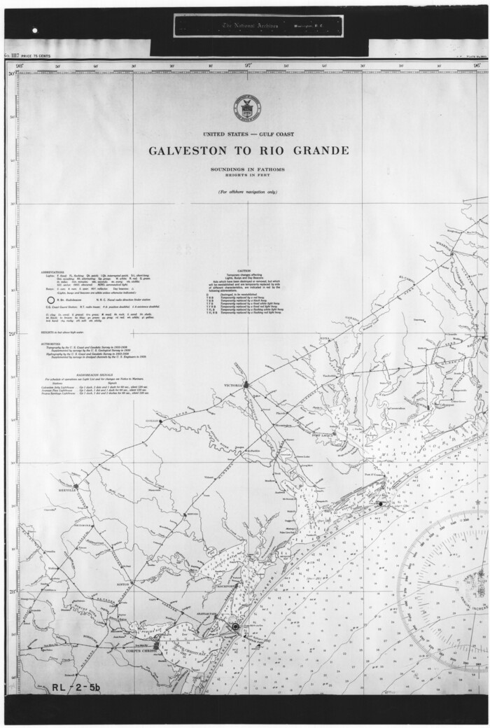

Print $20.00
- Digital $50.00
United States - Gulf Coast - Galveston to Rio Grande
1940
Size 27.0 x 18.2 inches
Map/Doc 72755
Map of Victoria County
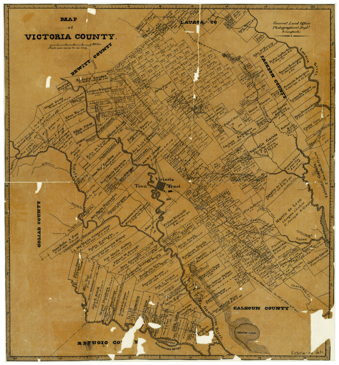

Print $20.00
- Digital $50.00
Map of Victoria County
1873
Size 20.9 x 19.3 inches
Map/Doc 4116
Sectional Map No. 4 of the lands and of the lines of the Texas & Pacific R'Y. Co. in El Paso and part of Presidio Co's.
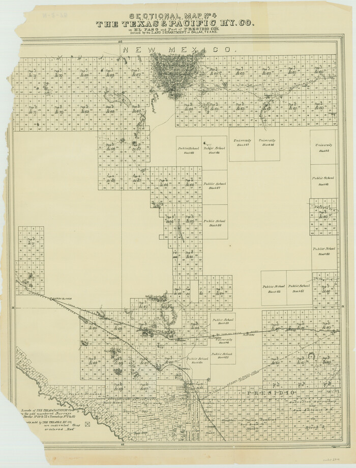

Print $20.00
- Digital $50.00
Sectional Map No. 4 of the lands and of the lines of the Texas & Pacific R'Y. Co. in El Paso and part of Presidio Co's.
1885
Size 22.3 x 17.0 inches
Map/Doc 2304
Tom Green County Sketch File 79A


Print $4.00
- Digital $50.00
Tom Green County Sketch File 79A
1970
Size 14.5 x 8.8 inches
Map/Doc 38258
You may also like
Flight Mission No. BRA-8M, Frame 24, Jefferson County
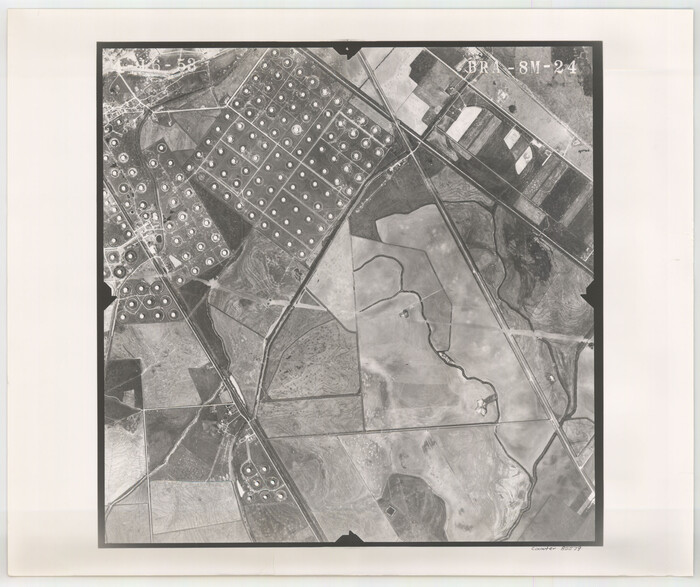

Print $20.00
- Digital $50.00
Flight Mission No. BRA-8M, Frame 24, Jefferson County
1953
Size 18.7 x 22.3 inches
Map/Doc 85579
Cherokee County Sketch File 2
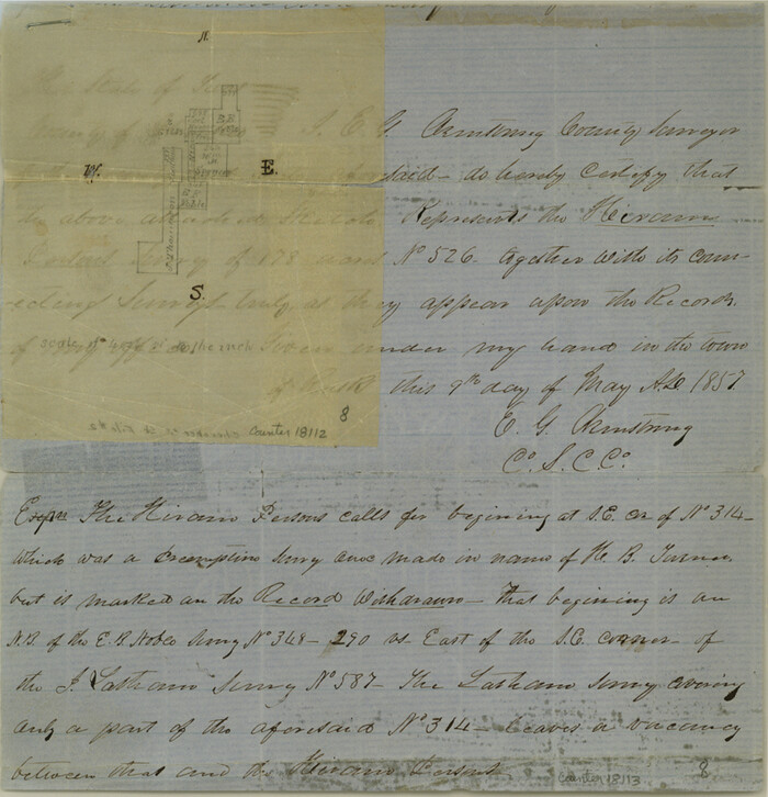

Print $6.00
- Digital $50.00
Cherokee County Sketch File 2
1857
Size 8.2 x 7.9 inches
Map/Doc 18112
Palo Pinto County
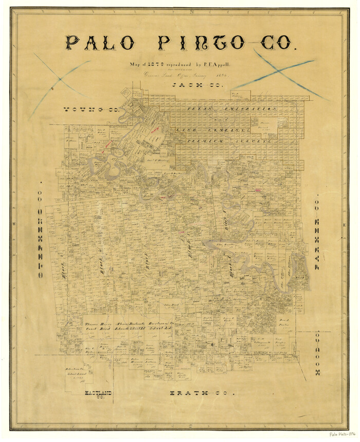

Print $20.00
- Digital $50.00
Palo Pinto County
1896
Size 27.2 x 22.1 inches
Map/Doc 3937
Hartley County Working Sketch 7
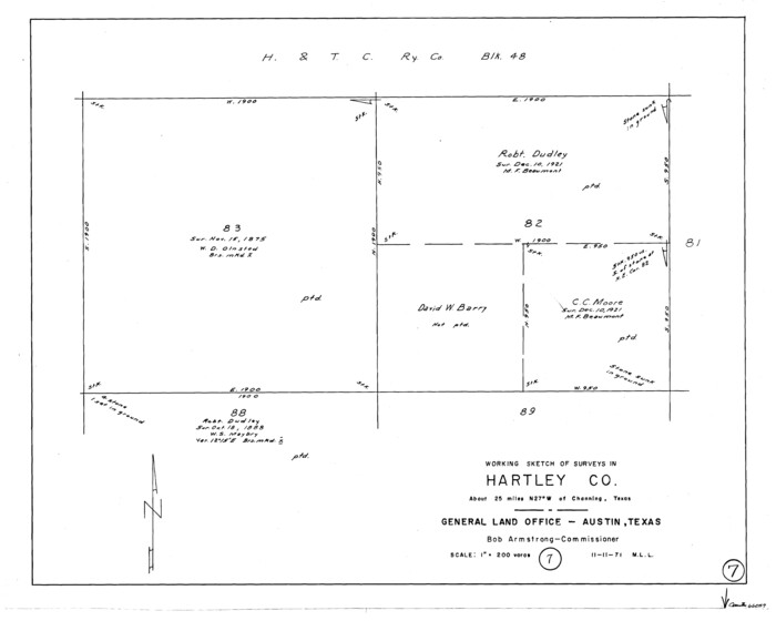

Print $20.00
- Digital $50.00
Hartley County Working Sketch 7
1971
Size 20.1 x 25.1 inches
Map/Doc 66057
Carta Historica y Arqueologica


Print $20.00
- Digital $50.00
Carta Historica y Arqueologica
Size 26.0 x 34.4 inches
Map/Doc 96806
Eastland County Working Sketch 49
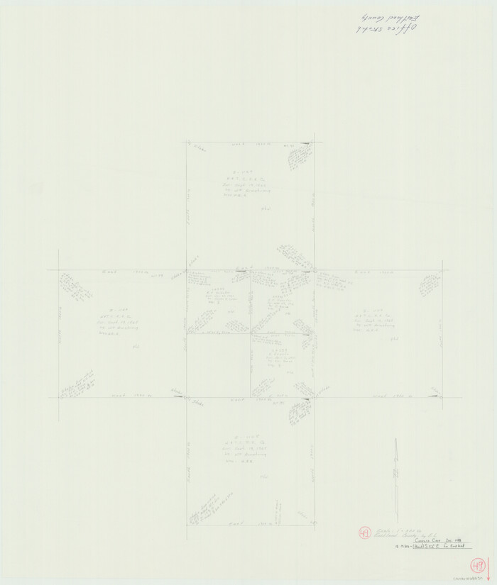

Print $20.00
- Digital $50.00
Eastland County Working Sketch 49
1981
Size 29.0 x 24.6 inches
Map/Doc 68830
Right of Way and Track Map Houston & Texas Central R.R. operated by the T. and N. O. R.R. Co., Fort Worth Branch
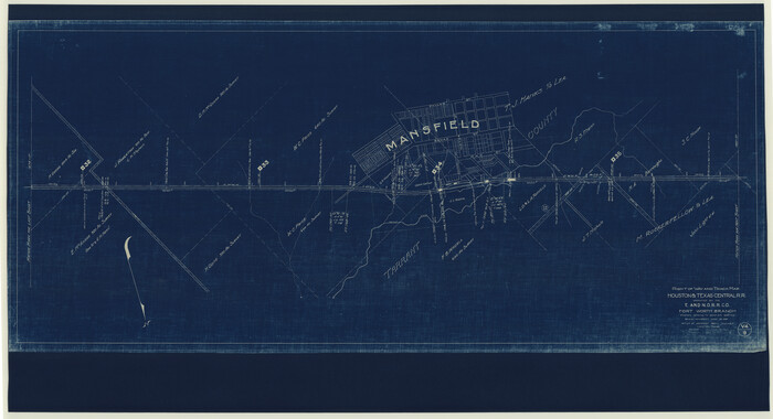

Print $40.00
- Digital $50.00
Right of Way and Track Map Houston & Texas Central R.R. operated by the T. and N. O. R.R. Co., Fort Worth Branch
1918
Size 30.9 x 57.1 inches
Map/Doc 64541
Flight Mission No. BRE-2P, Frame 6, Nueces County
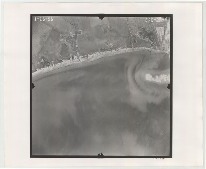

Print $20.00
- Digital $50.00
Flight Mission No. BRE-2P, Frame 6, Nueces County
1956
Size 18.6 x 22.6 inches
Map/Doc 86715
Clarendon, Texas, Donley Co.


Print $20.00
Clarendon, Texas, Donley Co.
1890
Size 15.7 x 26.6 inches
Map/Doc 89078
Presidio County Sketch File 70b


Print $6.00
- Digital $50.00
Presidio County Sketch File 70b
Size 11.2 x 8.9 inches
Map/Doc 34671
San Augustine County Working Sketch 22
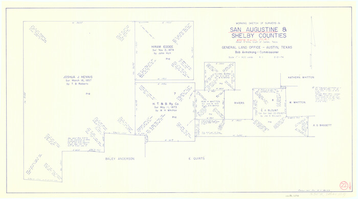

Print $20.00
- Digital $50.00
San Augustine County Working Sketch 22
1974
Size 16.1 x 29.0 inches
Map/Doc 63710
McMullen County Rolled Sketch 16
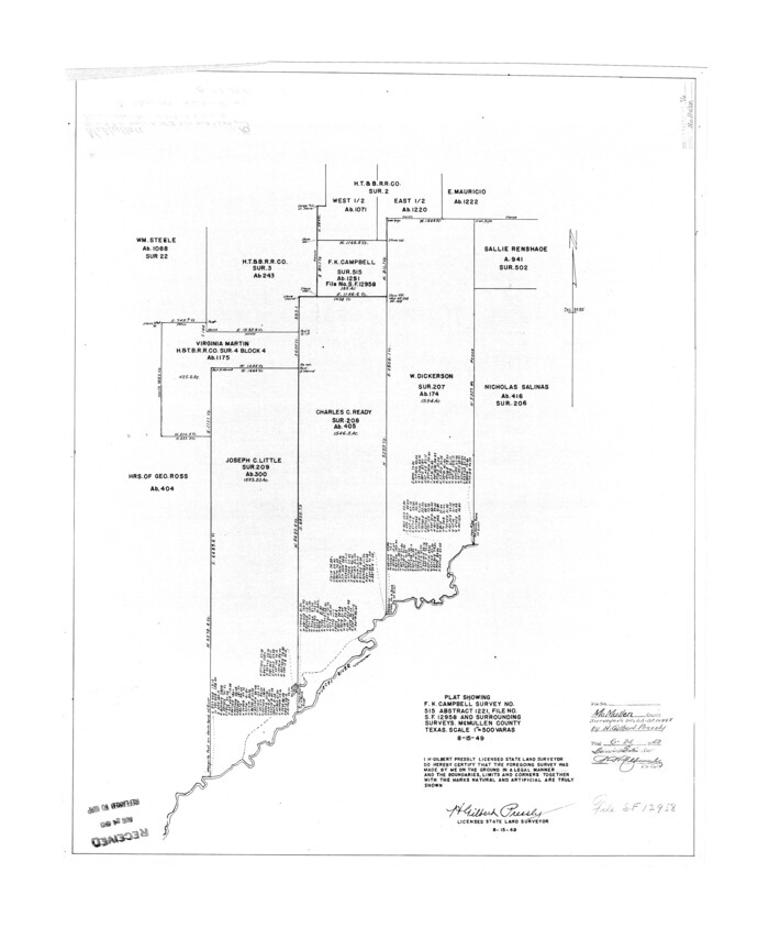

Print $20.00
- Digital $50.00
McMullen County Rolled Sketch 16
1949
Size 30.2 x 25.0 inches
Map/Doc 6733
![76767, [Map of Henderson County], General Map Collection](https://historictexasmaps.com/wmedia_w1800h1800/maps/76767.tif.jpg)
