[Surveys in Henderson County, Nacogdoches/Houston District]
Atlas G, Page 8, Sketch 10 (G-8-10)
G-8-10
-
Map/Doc
69735
-
Collection
General Map Collection
-
People and Organizations
M. Burton (Surveyor/Engineer)
-
Counties
Henderson
-
Subjects
Atlas
-
Height x Width
11.0 x 7.9 inches
27.9 x 20.1 cm
-
Comments
Conserved in 2003.
Part of: General Map Collection
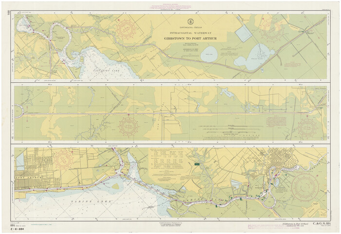
Intracoastal Waterway - Gibbstown to Port Arthur

Print $20.00
- Digital $50.00
Intracoastal Waterway - Gibbstown to Port Arthur
1961
Size 26.6 x 38.7 inches
Map/Doc 69833
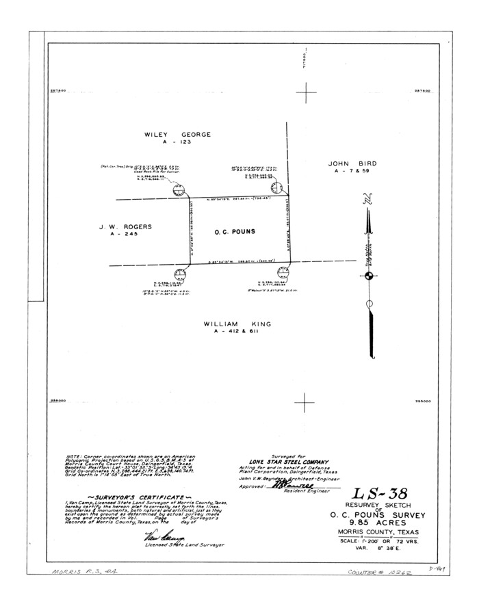
Morris County Rolled Sketch 2A

Print $20.00
- Digital $50.00
Morris County Rolled Sketch 2A
Size 24.4 x 19.3 inches
Map/Doc 10262
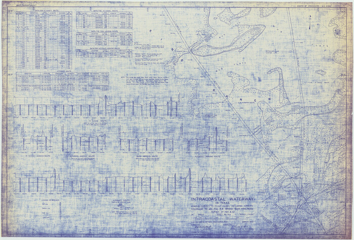
Intracoastal Waterway in Texas - Corpus Christi to Point Isabel including Arroyo Colorado to Mo. Pac. R.R. Bridge Near Harlingen

Print $20.00
- Digital $50.00
Intracoastal Waterway in Texas - Corpus Christi to Point Isabel including Arroyo Colorado to Mo. Pac. R.R. Bridge Near Harlingen
1933
Size 27.7 x 40.8 inches
Map/Doc 61867
Flight Mission No. DAG-21K, Frame 116, Matagorda County


Print $20.00
- Digital $50.00
Flight Mission No. DAG-21K, Frame 116, Matagorda County
1952
Size 18.6 x 22.3 inches
Map/Doc 86439
[Fragment, Jefferson Plotted]
![78352, [Fragment, Jefferson Plotted], General Map Collection](https://historictexasmaps.com/wmedia_w700/maps/78352.tif.jpg)
![78352, [Fragment, Jefferson Plotted], General Map Collection](https://historictexasmaps.com/wmedia_w700/maps/78352.tif.jpg)
Print $2.00
- Digital $50.00
[Fragment, Jefferson Plotted]
Size 14.0 x 7.5 inches
Map/Doc 78352
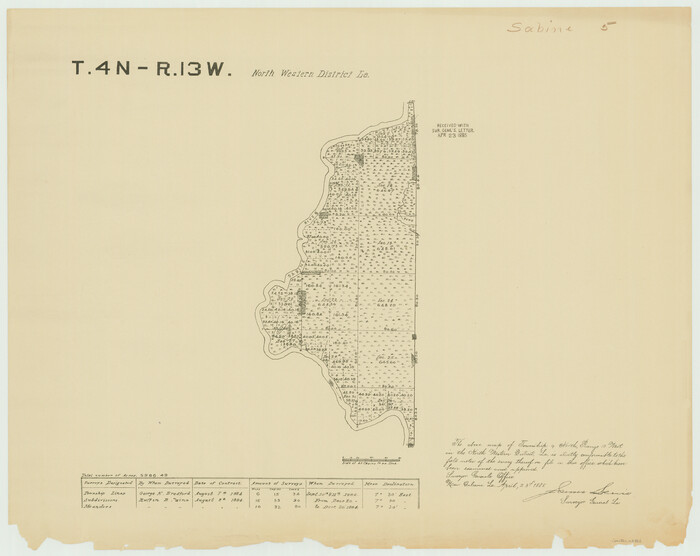
Township 4 North Range 13 West, North Western District, Louisiana

Print $20.00
- Digital $50.00
Township 4 North Range 13 West, North Western District, Louisiana
1884
Size 19.6 x 24.6 inches
Map/Doc 65866
Brooks County
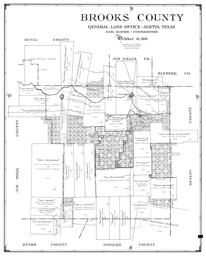

Print $20.00
- Digital $50.00
Brooks County
1955
Size 40.3 x 32.2 inches
Map/Doc 77223
La Salle County Working Sketch 24
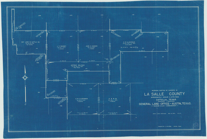

Print $20.00
- Digital $50.00
La Salle County Working Sketch 24
1947
Size 20.9 x 31.2 inches
Map/Doc 70325
Flight Mission No. BRE-1P, Frame 118, Nueces County


Print $20.00
- Digital $50.00
Flight Mission No. BRE-1P, Frame 118, Nueces County
1956
Size 17.8 x 21.2 inches
Map/Doc 86684
[Surveys in Austin's Colony along New Year's Creek and near the Brazos River]
![218, [Surveys in Austin's Colony along New Year's Creek and near the Brazos River], General Map Collection](https://historictexasmaps.com/wmedia_w700/maps/218.tif.jpg)
![218, [Surveys in Austin's Colony along New Year's Creek and near the Brazos River], General Map Collection](https://historictexasmaps.com/wmedia_w700/maps/218.tif.jpg)
Print $20.00
- Digital $50.00
[Surveys in Austin's Colony along New Year's Creek and near the Brazos River]
1821
Size 17.4 x 14.9 inches
Map/Doc 218
Brewster County Working Sketch 46
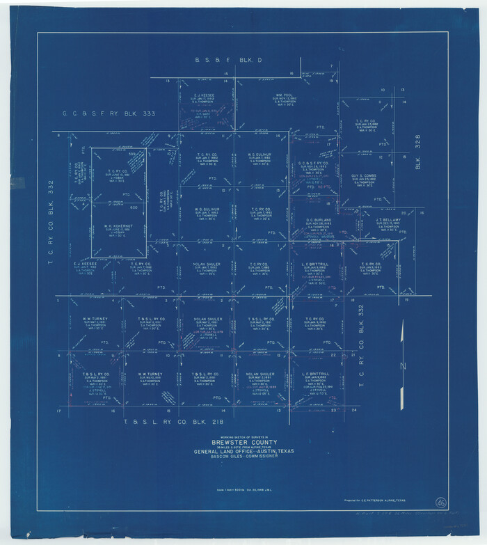

Print $20.00
- Digital $50.00
Brewster County Working Sketch 46
1948
Size 37.6 x 33.6 inches
Map/Doc 67580
Jefferson Co.
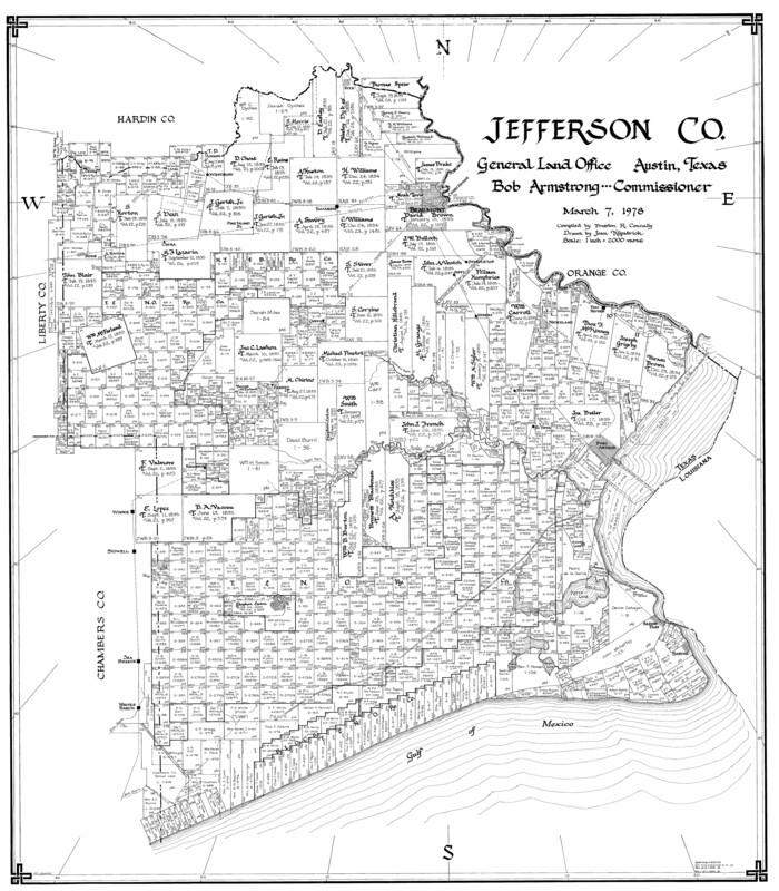

Print $20.00
- Digital $50.00
Jefferson Co.
1978
Size 47.0 x 41.1 inches
Map/Doc 77329
You may also like
A Topographical Map of the City of Austin


Print $20.00
- Digital $50.00
A Topographical Map of the City of Austin
1872
Size 21.0 x 14.7 inches
Map/Doc 4821
Hudspeth County Working Sketch 55


Print $20.00
- Digital $50.00
Hudspeth County Working Sketch 55
1989
Size 22.3 x 29.5 inches
Map/Doc 66340
Henderson County Rolled Sketch 12
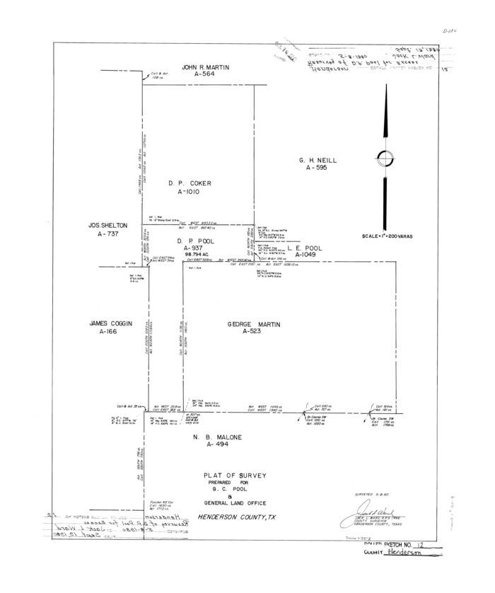

Print $20.00
- Digital $50.00
Henderson County Rolled Sketch 12
1980
Size 22.8 x 19.1 inches
Map/Doc 6204
Real County Sketch File 18


Print $28.00
- Digital $50.00
Real County Sketch File 18
1964
Size 14.3 x 8.9 inches
Map/Doc 35076
St. Louis, Brownsville & Mexico Railway Location Map from Mile 0 to Mile 20
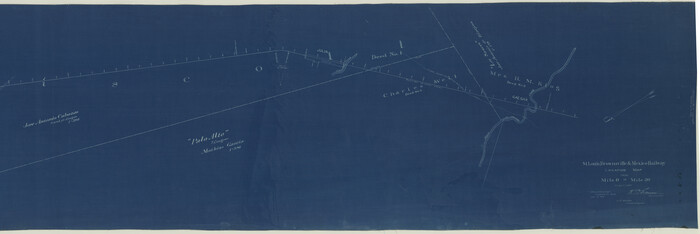

Print $40.00
- Digital $50.00
St. Louis, Brownsville & Mexico Railway Location Map from Mile 0 to Mile 20
1906
Size 19.3 x 57.7 inches
Map/Doc 64076
Lamar County Working Sketch 4
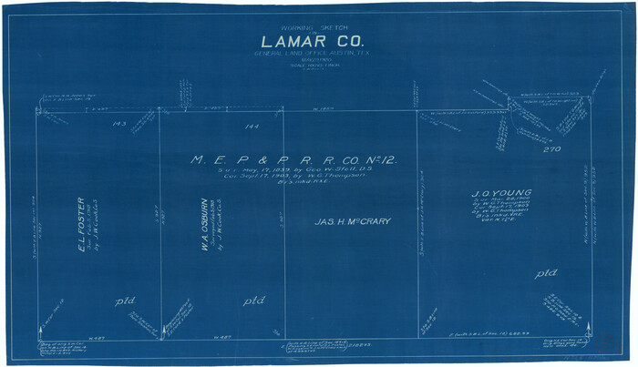

Print $20.00
- Digital $50.00
Lamar County Working Sketch 4
1920
Size 14.4 x 25.1 inches
Map/Doc 70265
A Boundary Atlas of Texas, 1821-1845


Digital $50.00
A Boundary Atlas of Texas, 1821-1845
2020
Map/Doc 96437
Crosby County Sketch File 20


Print $20.00
- Digital $50.00
Crosby County Sketch File 20
Size 25.9 x 18.3 inches
Map/Doc 11252
Bastrop County Working Sketch 13


Print $20.00
- Digital $50.00
Bastrop County Working Sketch 13
1979
Size 23.6 x 30.0 inches
Map/Doc 67313
Wilbarger County Aerial Photograph Index Sheet 1
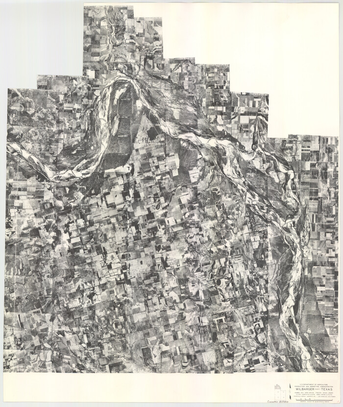

Print $20.00
- Digital $50.00
Wilbarger County Aerial Photograph Index Sheet 1
1950
Size 22.4 x 18.9 inches
Map/Doc 83750
![69735, [Surveys in Henderson County, Nacogdoches/Houston District], General Map Collection](https://historictexasmaps.com/wmedia_w1800h1800/maps/69735.tif.jpg)

